Auchness Wood

Wood, Forest in Wigtownshire

Scotland

Auchness Wood

Old milestone Another of the Wigtownshire style milestones that has had vegetation cleared from around it and a new coat of paint with the work done by a Milestone Society member.  The G is for Glen Luce with W (for Wigtown), an arrow pointing right and 5 on the left hand face.
Old milestone Credit: Jacqueline Crowther

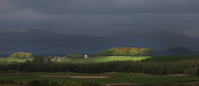
Auchness Wood is a picturesque woodland located in Wigtownshire, Scotland. It covers an area of approximately 50 hectares, making it a significant natural site in the region. The wood is situated near the village of Penninghame, about 4 miles northeast of Newton Stewart.

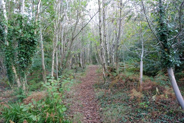
The woodland is predominantly composed of native broadleaf trees, including oak, birch, and hazel. These trees provide a diverse and rich habitat for various wildlife species, such as red squirrels, roe deer, and a variety of bird species. The wood is considered an important biodiversity hotspot, supporting a wide range of flora and fauna.

Auchness Wood is a popular destination for nature enthusiasts and walkers, offering several well-maintained trails that wind through the forest. These trails provide visitors with the opportunity to explore the natural beauty of the wood and observe its wildlife at close range. Additionally, the wood is well-equipped with picnic areas and benches, allowing visitors to relax and enjoy the tranquil surroundings.

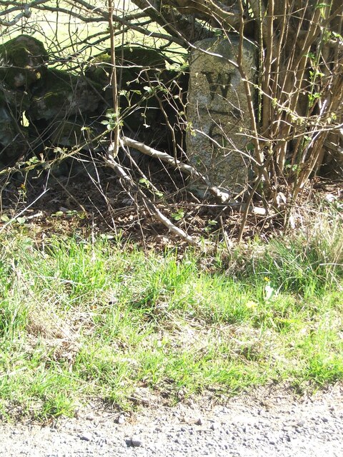
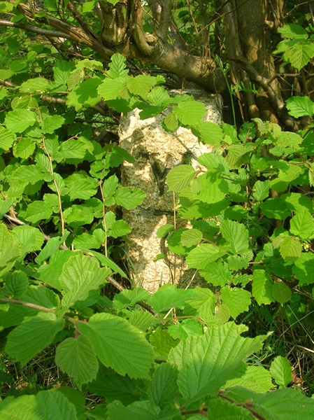
The wood also holds historical significance, with remnants of old settlements and structures scattered throughout the area. These remnants provide insight into the wood's past and add an element of intrigue to the visitor's experience.

Overall, Auchness Wood is a remarkable natural treasure in Wigtownshire, offering visitors a chance to immerse themselves in the beauty of Scotland's woodlands while enjoying the diverse wildlife and historical elements that make the site truly unique.

If you have any feedback on the listing, please let us know in the comments section below.

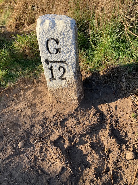
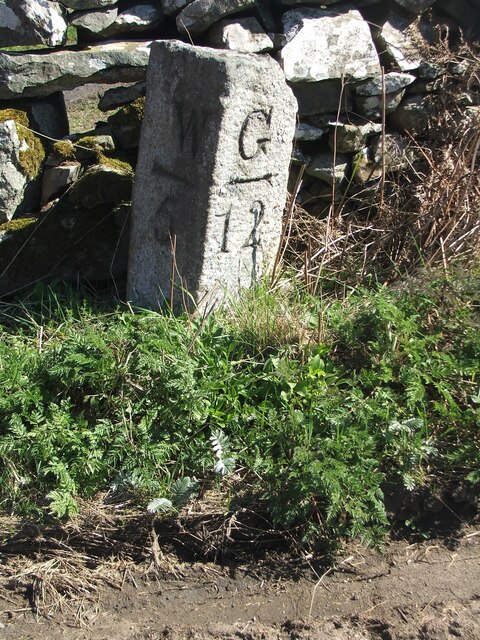
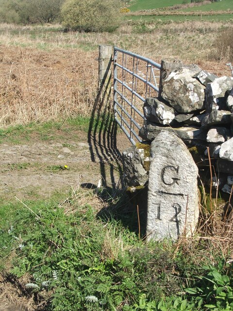
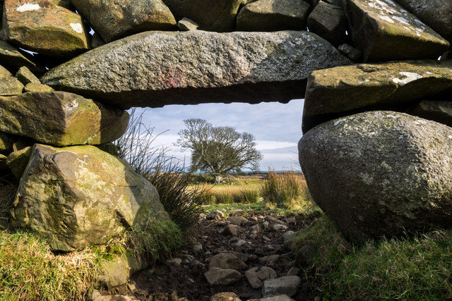
Auchness Wood Images

Images are sourced within 2km of 54.893139/-4.5913675 or Grid Reference NX3358. Thanks to Geograph Open Source API. All images are credited.

Old milestone Another of the Wigtownshire style milestones that has had vegetation cleared from around it and a new coat of paint with the work done by a Milestone Society member.  The G is for Glen Luce with W (for Wigtown), an arrow pointing right and 5 on the left hand face.
Old milestone
Another of the Wigtownshire style milestones that has had vegetation cleared from around it and a new coat of paint with the work done by a Milestone Society member. The G is for Glen Luce with W (for Wigtown), an arrow pointing right and 5 on the left hand face.
Old milestone This is the milestone on the B733 just north of the B7052 junction.   The previous photograph   <a href="https://www.geograph.org.uk/photo/7447528">NX3558 : Old milestone</a> was wrongly identified and is the milestone on the A747, 2 miles north of Port William.
Old milestone
This is the milestone on the B733 just north of the B7052 junction. The previous photograph NX3558 : Old milestone was wrongly identified and is the milestone on the A747, 2 miles north of Port William.
Old milestone Not much has changed since 2008.  The field gate is the same and the lichen encrusted wall still survives.   The mason didn't bother too much about the top and back of this milestone.
Old milestone
Not much has changed since 2008. The field gate is the same and the lichen encrusted wall still survives. The mason didn't bother too much about the top and back of this milestone.
Old milestone In May 2008 this milestone was almost hidden from view but using the milometer on my bike I knew just where to search.  In April 2023 not quite hidden.  It is just south of the Kirkchrist Lodge.   Glenluce still 11 miles away.
Old milestone
In May 2008 this milestone was almost hidden from view but using the milometer on my bike I knew just where to search. In April 2023 not quite hidden. It is just south of the Kirkchrist Lodge. Glenluce still 11 miles away.
Old milestone Another view of the milestone hidden under the bush/tree just south of Kirkchrist Lodge. G/arrow to left/11 on the unseen face.
Old milestone
Another view of the milestone hidden under the bush/tree just south of Kirkchrist Lodge. G/arrow to left/11 on the unseen face.
Craigdow Moor and the Craigdow Burn The Craigdow Burn snakes its way across Craigdow Moor.
Craigdow Moor and the Craigdow Burn
The Craigdow Burn snakes its way across Craigdow Moor.
Craigdow A long abandoned farm lying on the moor southwest of Clugston Loch. It was noted to be in ruins on the 1850 6" OS map.
Craigdow
A long abandoned farm lying on the moor southwest of Clugston Loch. It was noted to be in ruins on the 1850 6" OS map.
Through the lunky hole A lunky hole is built in a drystone dyke to allow sheep to pass through it while holding back cattle. It can easily be blocked up with a small gate, board or stones. This one is in the dyke enclosing the old ruined farm of Craigdow.
Through the lunky hole
A lunky hole is built in a drystone dyke to allow sheep to pass through it while holding back cattle. It can easily be blocked up with a small gate, board or stones. This one is in the dyke enclosing the old ruined farm of Craigdow.
The Craigdow Burn The Craigdow Burn runs down from Craigdow Moor into the southern end of Clugston Loch.
The Craigdow Burn
The Craigdow Burn runs down from Craigdow Moor into the southern end of Clugston Loch.
Old Milestone by the B733, northwest of Spittal Bridge Stone post by the B733, in parish of Kirkcowan (Wigtownshire District), North of junction with the B7052, near field gate.

Inscription reads:-
: W / {arrow-> / 5 : : G / {<-arrow} / 12 :
(To Wigtown and Glenluce)
 
Surveyed

Milestone Society National ID: DG_WGGL05
Old Milestone by the B733, northwest of Spittal Bridge
Stone post by the B733, in parish of Kirkcowan (Wigtownshire District), North of junction with the B7052, near field gate. Inscription reads:- : W / {arrow-> / 5 : : G / {<-arrow} / 12 : (To Wigtown and Glenluce) Surveyed Milestone Society National ID: DG_WGGL05
Old Milestone by the B733, south of Kirkchrist Lodge, Kirkcowan parish Stone post by the B733, in parish of Kirkcowan (Wigtownshire District), South of lodge to Kirkchrist House, hidden under hazel tree.

Inscription reads:-
: W / {arrow-&amp;gt;} / 6 : : G / {&amp;lt;-arrow} / 11 :
(To Wigtown and Glenluce) 

Surveyed

Milestone Society National ID: DG_WGGL06
Old Milestone by the B733, south of Kirkchrist Lodge, Kirkcowan parish
Stone post by the B733, in parish of Kirkcowan (Wigtownshire District), South of lodge to Kirkchrist House, hidden under hazel tree. Inscription reads:- : W / {arrow->} / 6 : : G / {<-arrow} / 11 : (To Wigtown and Glenluce) Surveyed Milestone Society National ID: DG_WGGL06
Old milestone Travelling towards Kirkcowan the B733 crosses the River Tarff by Johnston&amp;#039;s Bridge.   The Tarff then soon runs into the River Bladnoch a short distance to the east.   The milestone is at the northern end of the bridge.
Old milestone
Travelling towards Kirkcowan the B733 crosses the River Tarff by Johnston's Bridge. The Tarff then soon runs into the River Bladnoch a short distance to the east. The milestone is at the northern end of the bridge.
Old milestone The bridge over the river then sharp left to continue towards Wigtown.
Old milestone
The bridge over the river then sharp left to continue towards Wigtown.
Old Milestone by the B733, Johnston's Bridge, Kirkcowan parish Milesltone by the B733, in parish of Kirkcowan (Wigtownshire District), North end of Johnston&amp;#039;s Bridge over Tarf Water, on verge, East side of road.

Inscript reads:-
: W / {arrow-&amp;gt;} / 7 : : G / {&amp;lt;-arrow} / 10 :
(To Wigtown and Glenluce)

Surveyed

Milestone Society National ID: DG_WGGL07
Old Milestone by the B733, Johnston's Bridge, Kirkcowan parish
Milesltone by the B733, in parish of Kirkcowan (Wigtownshire District), North end of Johnston's Bridge over Tarf Water, on verge, East side of road. Inscript reads:- : W / {arrow->} / 7 : : G / {<-arrow} / 10 : (To Wigtown and Glenluce) Surveyed Milestone Society National ID: DG_WGGL07
Former mill chimney Site of abandoned and dismantled woollen mill on River Tarff.
Woollen manufacture was fundamental to the development of industry in Kirkcowan
during the early 19th century.
Former mill chimney
Site of abandoned and dismantled woollen mill on River Tarff. Woollen manufacture was fundamental to the development of industry in Kirkcowan during the early 19th century.
Track at West Crosherie Kirkcowan
Track at West Crosherie
Kirkcowan
Through the Woods Adjoining the River Tarff
Through the Woods
Adjoining the River Tarff
In the Crosherie Plantation Stream feeding the nearby River Tarff
In the Crosherie Plantation
Stream feeding the nearby River Tarff
Show me another place!

Auchness Wood is located at Grid Ref: NX3358 (Lat: 54.893139, Lng: -4.5913675)

Unitary Authority: Dumfries and Galloway

Police Authority: Dumfries and Galloway

What 3 Words

///towels.hype.zoom. Near Newton Stewart, Dumfries & Galloway

Related Wikis

Kirkcowan

Kirkcowan is an area about 15 miles in length, and from nearly two to nearly seven miles in breadth, comprising 30,580 acres, of which 7000 are arable...

Kirkcowan railway station

Kirkcowan railway station served the village of Kirkcowan, Dumfries and Galloway, Scotland from 1861 to 1965 on the Portpatrick and Wigtownshire Joint...

Torhouse

The Standing Stones of Torhouse (also Torhousekie) are a stone circle of nineteen granite boulders on the land of Torhouse, three miles west of Wigtown...

Mochrum Loch

Mochrum Loch is a large, irregular shaped, shallow, freshwater loch in Dumfries and Galloway, in the Southern Uplands of south-west Scotland. It lies approximately...

Nearby Amenities

Located within 500m of 54.893139,-4.5913675
Power: pole
Lat/Long: 54.8906017/-4.5850663
Power: pole
Lat/Long: 54.8902153/-4.5862333
Power: pole
Lat/Long: 54.8897527/-4.587649
Power: pole
Lat/Long: 54.8895094/-4.5884394
Power: pole
Lat/Long: 54.8890574/-4.5898109
Power: pole
Lat/Long: 54.888679/-4.5909384
Power: pole
Lat/Long: 54.8970429/-4.593993
Power: pole
Lat/Long: 54.8964079/-4.5944161
The data included in this document is from www.openstreetmap.org. The data is made available under ODbL.

Have you been to Auchness Wood?

Leave your review of Auchness Wood below (or comments, questions and feedback).