Duchal Wood

Wood, Forest in Renfrewshire

Scotland

Duchal Wood

Slurry Spreading Near Blackwater Farm.
Slurry Spreading Credit: wfmillar

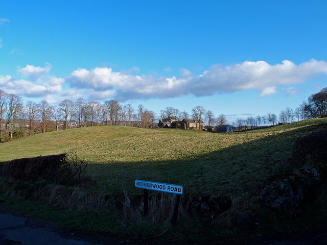
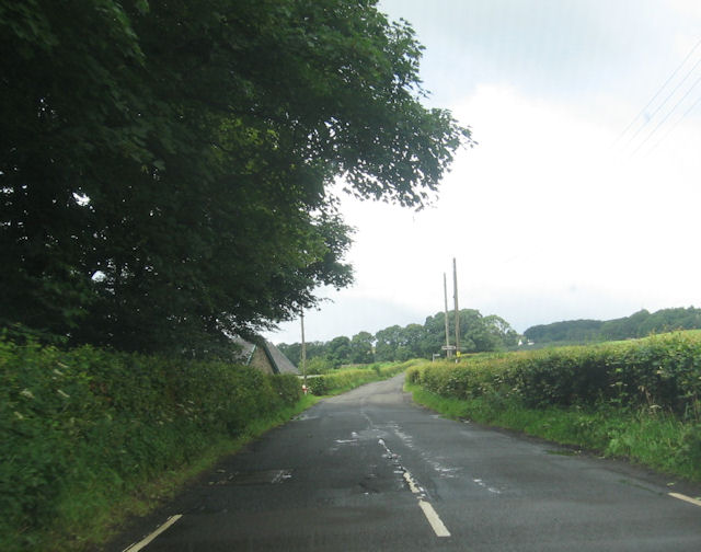
Duchal Wood is a charming woodland located in the county of Renfrewshire, Scotland. Spanning an area of approximately 1.5 square kilometers, it is nestled within the picturesque Clyde Muirshiel Regional Park. The wood is situated near the village of Kilmacolm and is easily accessible from the nearby town of Greenock.

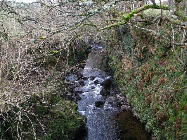
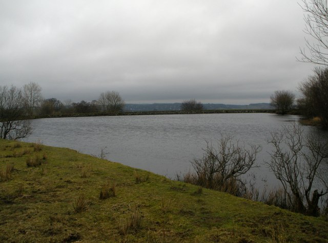
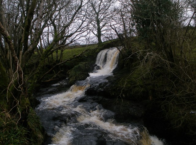
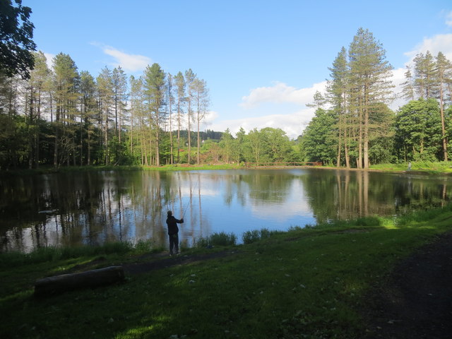
Duchal Wood is a haven for nature enthusiasts and outdoor lovers alike. It is predominantly made up of ancient oak trees, with some areas of beech and birch trees interspersed throughout. The wood boasts a diverse range of flora and fauna, including bluebells, wild garlic, and various species of birds, making it an ideal spot for birdwatching and photography.

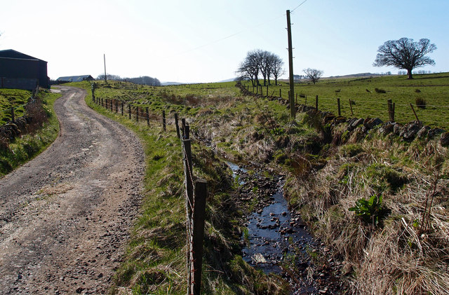
The wood offers a network of well-maintained paths, allowing visitors to explore its natural beauty at their own pace. These paths cater to both walkers and cyclists, providing a tranquil and scenic setting for outdoor activities. A popular route within the wood is the Duchal Trail, a circular path that takes visitors through the heart of the woodland and offers breathtaking views of the surrounding countryside.

Aside from its natural allure, Duchal Wood also holds historical significance. Within the wood, there are remnants of ancient settlements, including a prehistoric fort and burial sites. These archaeological features add an extra layer of intrigue to the woodland, enticing history enthusiasts to delve into the area's past.

Overall, Duchal Wood is a captivating destination that offers a blend of natural beauty, outdoor recreation, and historical intrigue. Its accessibility and diverse range of attractions make it a must-visit for those seeking a peaceful retreat in the heart of Renfrewshire.

If you have any feedback on the listing, please let us know in the comments section below.
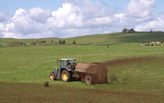
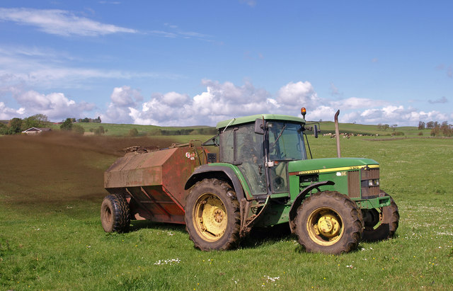
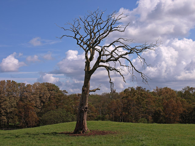
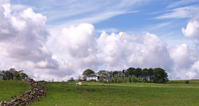
Duchal Wood Images

Images are sourced within 2km of 55.876665/-4.6565831 or Grid Reference NS3368. Thanks to Geograph Open Source API. All images are credited.

Slurry Spreading Near Blackwater Farm.
Slurry Spreading
Near Blackwater Farm.
Slurry Spreading Near Blackwater Farm. Farmer gave the thumbs up for the snap then a quick exit for me.
Slurry Spreading
Near Blackwater Farm. Farmer gave the thumbs up for the snap then a quick exit for me.
Dead Tree Duchall Wood in the background. Trees in the wood have been blasted by a storm making it look like Autumn not July!
Dead Tree
Duchall Wood in the background. Trees in the wood have been blasted by a storm making it look like Autumn not July!
Newton House Capitalization
Newton House
Capitalization
Ruined Cottage Trees have taken up residence.
Ruined Cottage
Trees have taken up residence.
South Newton Converted farmhouse now used by Girl Guide Association
South Newton
Converted farmhouse now used by Girl Guide Association
Killochries Farm Kilmacolm
Green Water from Duchal Bridge
Kilmacolm Lower Reservoir
Waterfall on Blacketty Water
Netherwood Road near Kilmacolm Minor road junction near Netherwood.
Netherwood Road near Kilmacolm
Minor road junction near Netherwood.
High Branchal Farm Small Bridge crosses Mill Burn to the farm <span class="nowrap"><a title="http://www.branchalholsteins.co.uk" rel="nofollow ugc noopener" href="http://www.branchalholsteins.co.uk">Link</a><img style="margin-left:2px;" alt="External link" title="External link - shift click to open in new window" src="https://s1.geograph.org.uk/img/external.png" width="10" height="10"/></span>
High Branchal Farm
Small Bridge crosses Mill Burn to the farm LinkExternal link
Slurry, High Branchal Farm The slurry is fed from the holding tank through an umbilical hose about 1.5 Km long to this tractor which then sprays.
Slurry, High Branchal Farm
The slurry is fed from the holding tank through an umbilical hose about 1.5 Km long to this tractor which then sprays.
Farm Track, Barnshake Farm Small burn flows beside the track which forms Spoutal Burn and joins Mill Burn.
Farm Track, Barnshake Farm
Small burn flows beside the track which forms Spoutal Burn and joins Mill Burn.
Slurry, High Branchal Farm The slurry is pumped from the holding tank through an umbilical hose about 1.5 Km long to this tractor which then sprays. Kilmacolm in the distance.
Slurry, High Branchal Farm
The slurry is pumped from the holding tank through an umbilical hose about 1.5 Km long to this tractor which then sprays. Kilmacolm in the distance.
Duchal Mains Farm
Duchal Mains Farm
Fishing pond in Milton Wood Kilmacolm
B788 passing the lodge near Milton Bridge
Show me another place!

Duchal Wood is located at Grid Ref: NS3368 (Lat: 55.876665, Lng: -4.6565831)

Unitary Authority: Inverclyde

Police Authority: Renfrewshire and Inverclyde

What 3 Words

///reputable.roving.match. Near Kilmacolm, Inverclyde

Nearby Locations

Duchal Wood

Related Wikis

Duchal House

Duchal House is an 18th-century mansion and estate near Kilmacolm, Scotland. It is located in Inverclyde, in the former county of Renfrewshire. Duchal...

St Columba's School, Kilmacolm

St Columba's School is a 3–18 mixed private day school in Kilmacolm, Inverclyde, Scotland. It is split across two sites and is a member of the Headmasters...

Kilmacolm railway station

Kilmacolm railway station was a railway station serving the village of Kilmacolm, in the current council area of Inverclyde and the historic county of...

Quarrier's Village

Quarrier's Village or Quarriers Village is a small settlement in the civil parish of Kilmacolm in Inverclyde council area and the historic county of Renfrewshire...

Nearby Amenities

Located within 500m of 55.876665,-4.6565831
Power: pole
Lat/Long: 55.8724479/-4.6554842
Power: pole
Lat/Long: 55.8728745/-4.6544259
Power: pole
Lat/Long: 55.8732987/-4.6533989
Power: pole
Lat/Long: 55.8737265/-4.6523677
Power: pole
Lat/Long: 55.8741309/-4.6514928
Power: pole
Lat/Long: 55.8745212/-4.6506533
Power: pole
Lat/Long: 55.874887/-4.6498721
Power: pole
Lat/Long: 55.8752621/-4.6490742
Power: pole
Lat/Long: 55.8739462/-4.6529344
Power: pole
Lat/Long: 55.8746147/-4.6544301
Power: pole
Lat/Long: 55.8755695/-4.6561154
Power: pole
Lat/Long: 55.8761316/-4.6571091
Power: pole
Lat/Long: 55.8766668/-4.6580694
Power: pole
Lat/Long: 55.8770466/-4.6587715
The data included in this document is from www.openstreetmap.org. The data is made available under ODbL.

Have you been to Duchal Wood?

Leave your review of Duchal Wood below (or comments, questions and feedback).