Auchness Hill
Hill, Mountain in Wigtownshire
Scotland
Auchness Hill
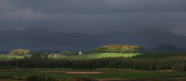
Auchness Hill is a prominent geological feature located in Wigtownshire, in the southwestern region of Scotland. Rising to a height of approximately 240 meters (787 feet), it is classified as a hill rather than a mountain due to its relatively modest elevation. The hill is situated near the small village of Auchness, and it commands sweeping views of the surrounding countryside, offering visitors a breathtaking vista of the picturesque landscape.
Geologically, Auchness Hill is primarily composed of hard sandstone, which has played a significant role in shaping its distinctive appearance. Over the centuries, the forces of erosion have carved out deep gullies and ridges, adding to the hill's rugged charm. The vegetation on Auchness Hill consists mainly of grasses and heathers, which blanket the slopes in a vibrant tapestry of colors during the summer months.
Auchness Hill is a popular destination for outdoor enthusiasts, attracting hikers, nature lovers, and photographers. Several well-marked trails crisscross its slopes, providing options for both novice and experienced trekkers. The hill is also home to a diverse array of wildlife, including various bird species, such as buzzards and kestrels, as well as small mammals like rabbits and foxes.
In addition to its natural beauty and recreational opportunities, Auchness Hill holds historical significance. The area surrounding the hill has been inhabited for centuries, and remnants of ancient settlements can still be found in the vicinity. These historical sites contribute to the overall allure of Auchness Hill, making it a destination that offers both natural and cultural attractions for visitors to enjoy.
If you have any feedback on the listing, please let us know in the comments section below.
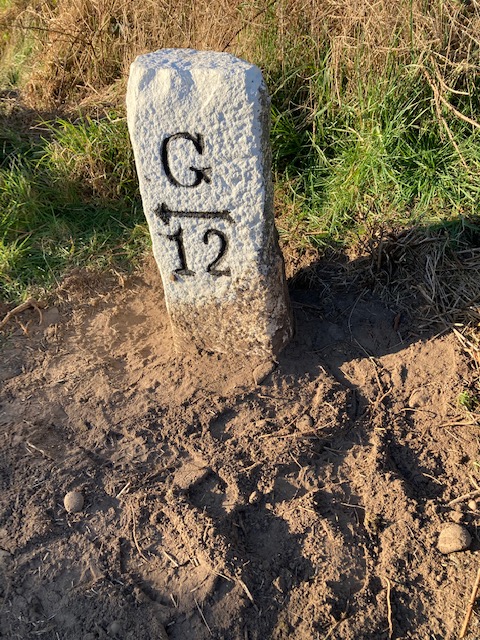
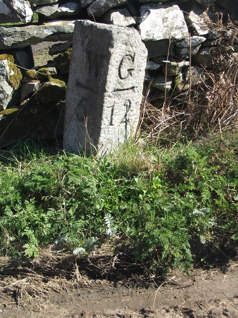
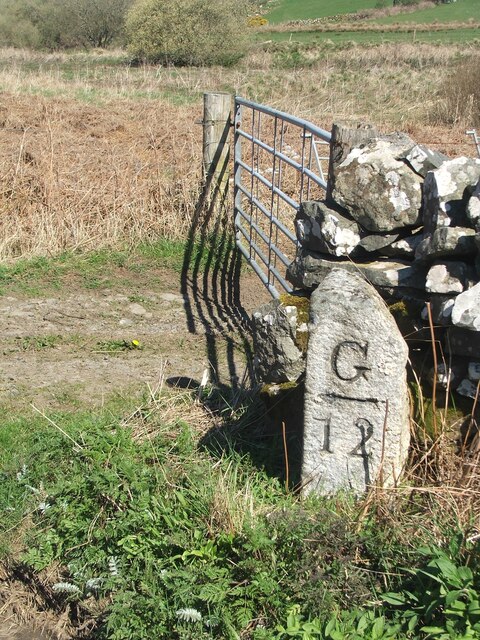
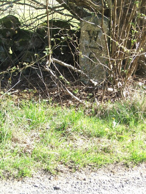
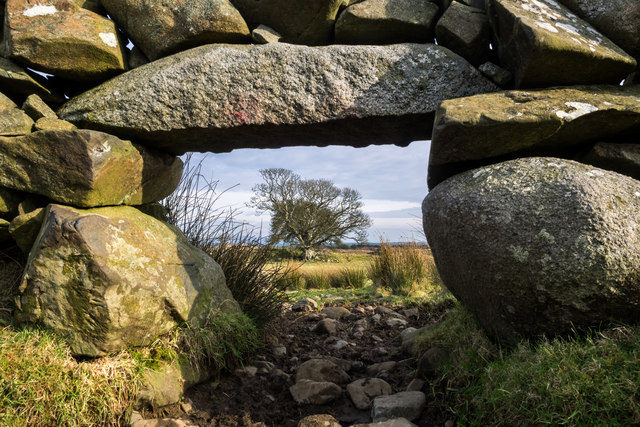
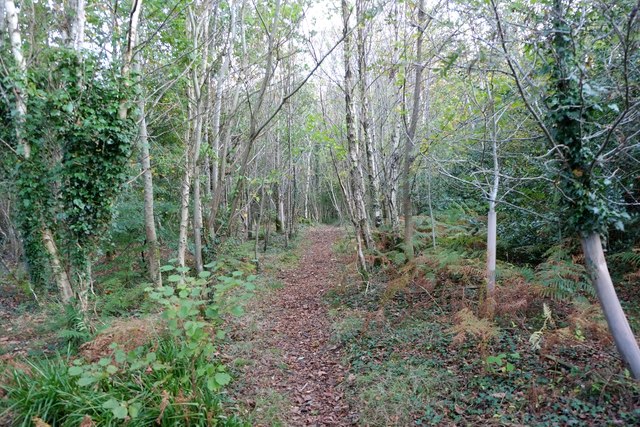
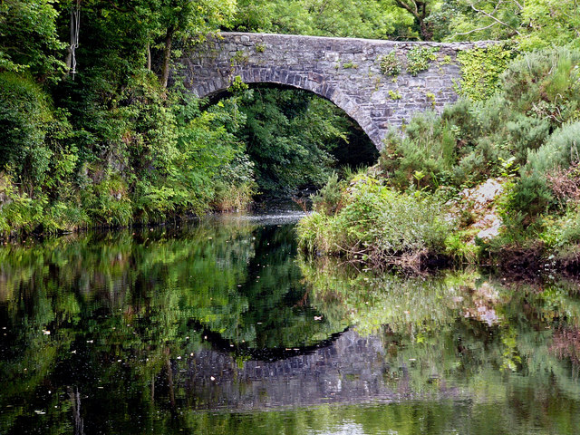
Auchness Hill Images
Images are sourced within 2km of 54.892374/-4.5931119 or Grid Reference NX3358. Thanks to Geograph Open Source API. All images are credited.


Auchness Hill is located at Grid Ref: NX3358 (Lat: 54.892374, Lng: -4.5931119)
Unitary Authority: Dumfries and Galloway
Police Authority: Dumfries and Galloway
What 3 Words
///remote.historic.hiker. Near Newton Stewart, Dumfries & Galloway
Nearby Locations
Related Wikis
Kirkcowan
Kirkcowan is an area about 15 miles in length, and from nearly two to nearly seven miles in breadth, comprising 30,580 acres, of which 7000 are arable...

Kirkcowan railway station
Kirkcowan railway station served the village of Kirkcowan, Dumfries and Galloway, Scotland from 1861 to 1965 on the Portpatrick and Wigtownshire Joint...

Torhouse
The Standing Stones of Torhouse (also Torhousekie) are a stone circle of nineteen granite boulders on the land of Torhouse, three miles west of Wigtown...

Mochrum Loch
Mochrum Loch is a large, irregular shaped, shallow, freshwater loch in Dumfries and Galloway, in the Southern Uplands of south-west Scotland. It lies approximately...
Nearby Amenities
Located within 500m of 54.892374,-4.5931119Have you been to Auchness Hill?
Leave your review of Auchness Hill below (or comments, questions and feedback).