Coille Blair Srònaich
Wood, Forest in Inverness-shire
Scotland
Coille Blair Srònaich
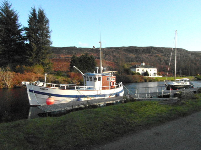
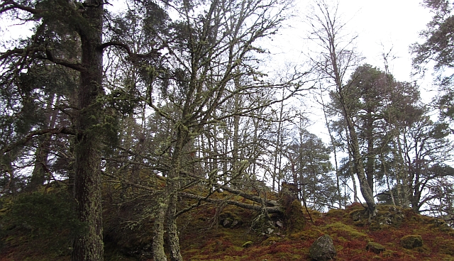
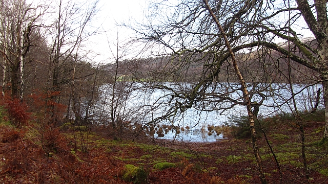
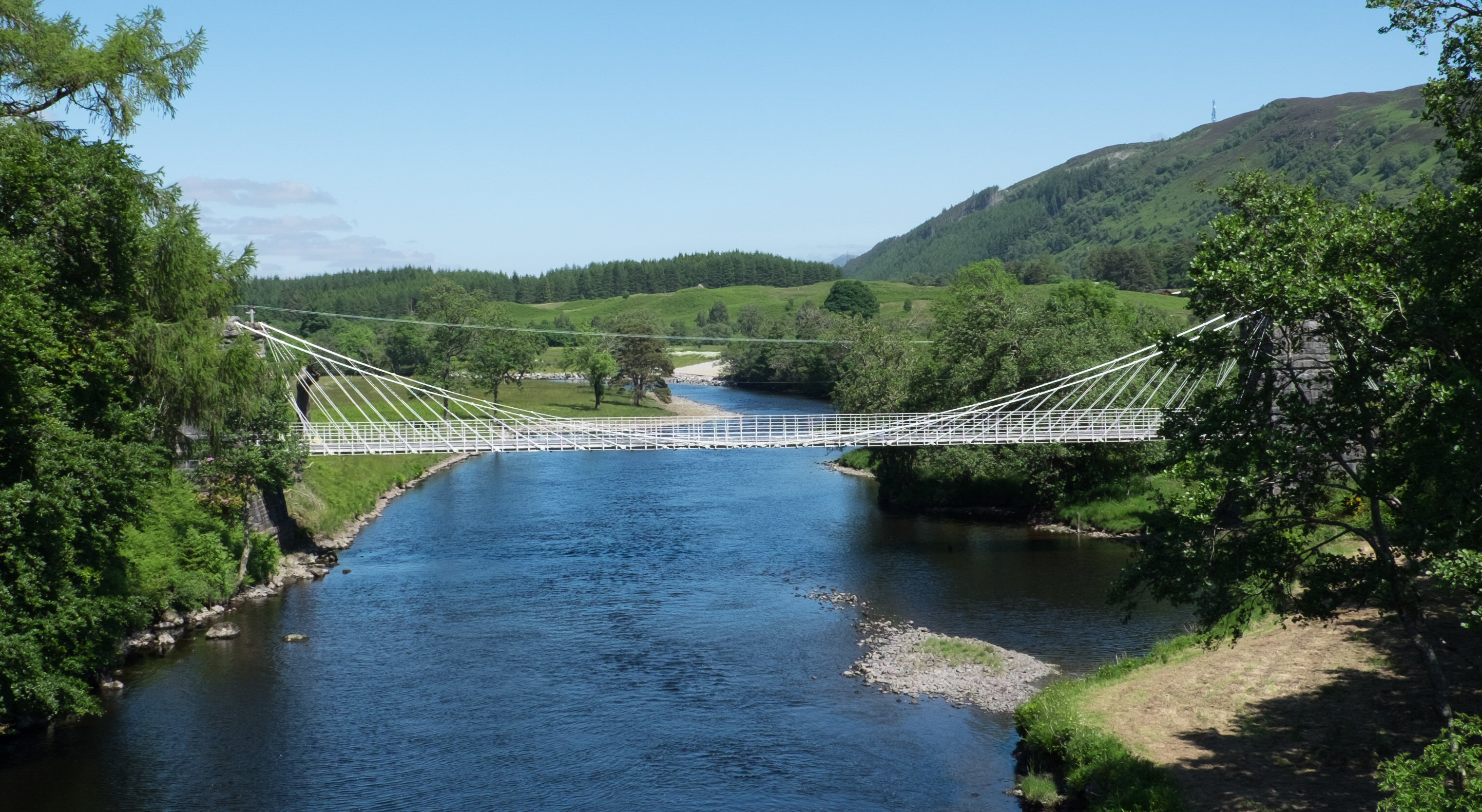
Coille Blair Srònaich is a picturesque wood located in Inverness-shire, Scotland. The forest is characterized by a diverse range of tree species, including oak, birch, and pine, creating a rich and vibrant ecosystem. The wood is home to a variety of wildlife, such as red squirrels, deer, and a wide array of bird species, making it a popular destination for nature enthusiasts and bird watchers.
Visitors to Coille Blair Srònaich can enjoy a network of well-maintained walking trails that wind through the forest, providing opportunities to explore the natural beauty of the area. The tranquil atmosphere of the wood offers a peaceful retreat from the hustle and bustle of everyday life, making it an ideal spot for relaxation and reflection.
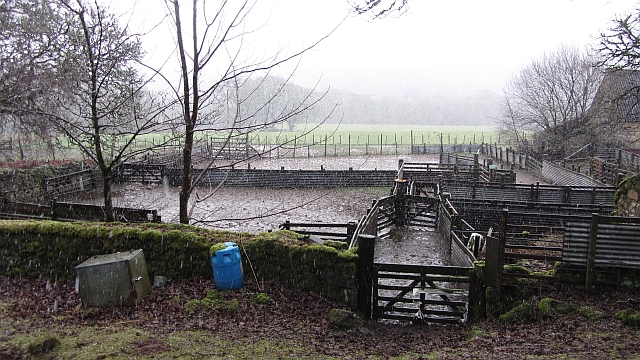
In addition to its natural beauty, Coille Blair Srònaich also holds cultural significance, with historical sites and landmarks scattered throughout the forest. The wood has been a part of the local landscape for centuries, and its ancient trees and meandering streams provide a glimpse into the area's rich history. Overall, Coille Blair Srònaich is a place of natural beauty, tranquility, and cultural heritage, making it a must-visit destination for anyone exploring the Inverness-shire region.
If you have any feedback on the listing, please let us know in the comments section below.
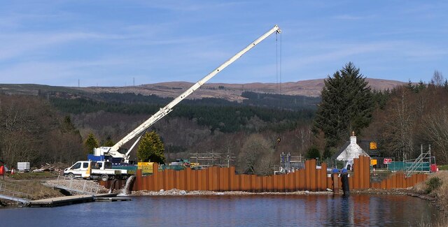
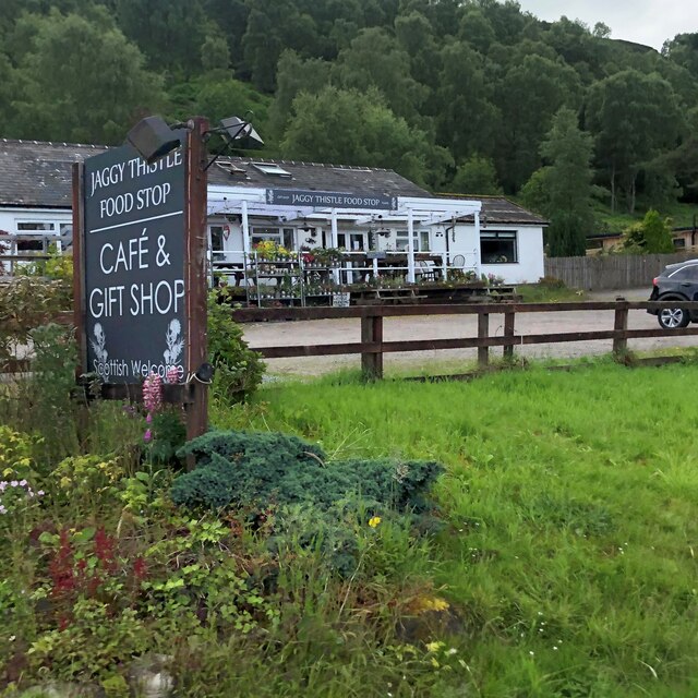
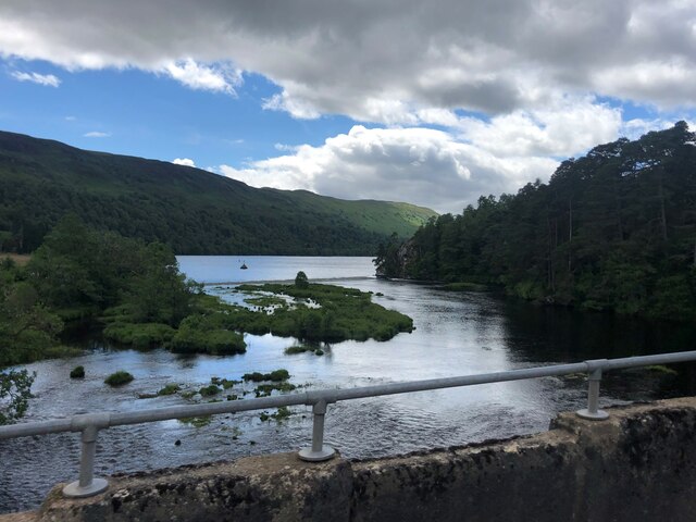
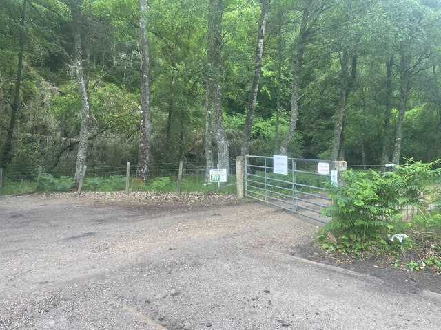
Coille Blair Srònaich Images
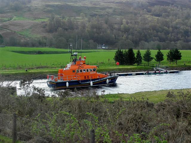
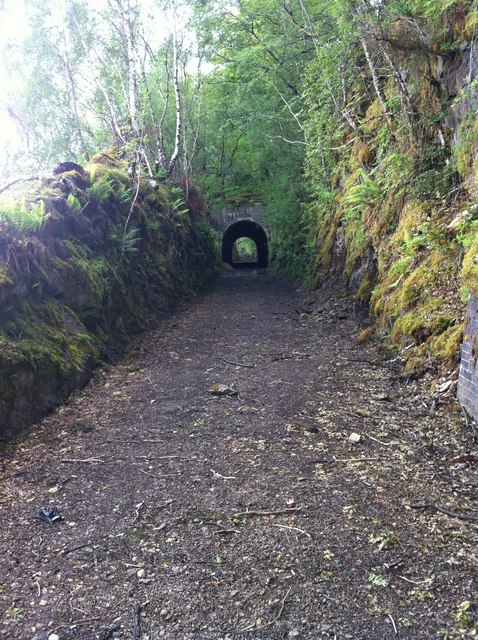
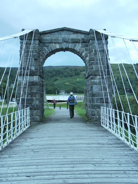
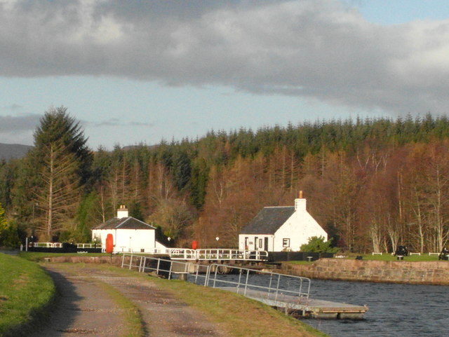
Images are sourced within 2km of 57.089669/-4.7506194 or Grid Reference NH3303. Thanks to Geograph Open Source API. All images are credited.


Coille Blair Srònaich is located at Grid Ref: NH3303 (Lat: 57.089669, Lng: -4.7506194)
Unitary Authority: Highland
Police Authority: Highlands and Islands
What 3 Words
///dozed.chitchat.dates. Near Gairlochy, Highland
Nearby Locations
Related Wikis
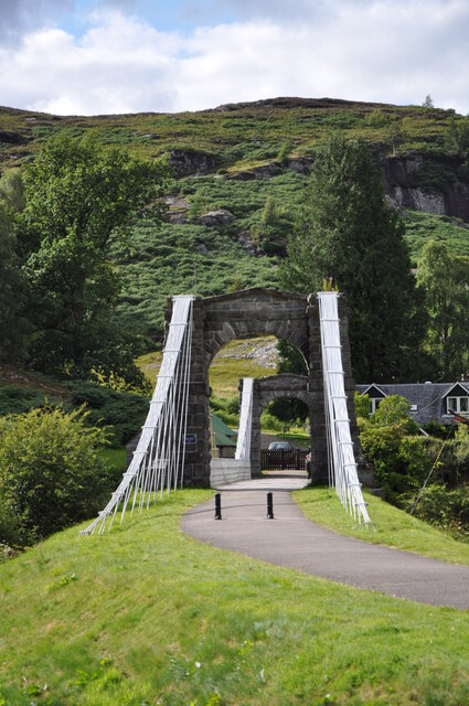
Bridge of Oich
The Bridge of Oich (also known as Victoria Bridge, Aberchalder) is a taper principle suspension bridge, designed by James Dredge, across the River Oich...

Aberchalder
Aberchalder (Gaelic: Obar Chaladair) is a small settlement and estate at the northern end of Loch Oich in the Scottish Highlands and is in the Highland...

Great Glen Fault
The Great Glen Fault is a strike-slip fault that runs through the Great Glen in Scotland. The fault is mostly inactive today, but occasional moderate tremors...

Aberchalder railway station
Aberchalder railway station served the village of Aberchalder, in the county of Inverness-shire in Scotland. == History == It was opened by the Highland...
Nearby Amenities
Located within 500m of 57.089669,-4.7506194Have you been to Coille Blair Srònaich?
Leave your review of Coille Blair Srònaich below (or comments, questions and feedback).