Obar Chaladair
Settlement in Inverness-shire
Scotland
Obar Chaladair
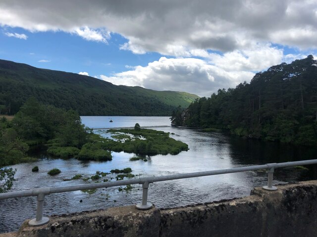
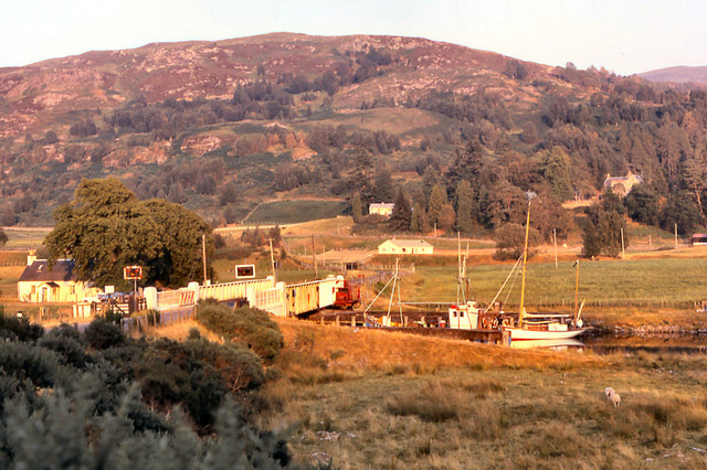
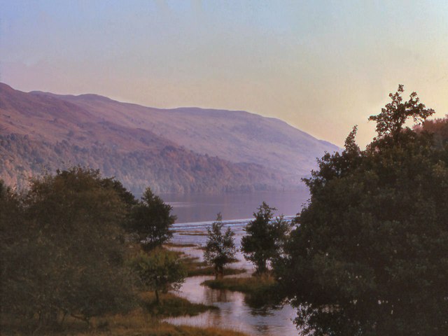
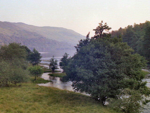
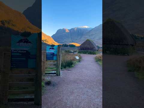
Obar Chaladair is a small village located in the heart of Inverness-shire, a county in the Highland region of Scotland. Situated on the western banks of the famous Loch Ness, this picturesque settlement offers breathtaking views of the surrounding natural landscape.
The village is characterized by its traditional Scottish charm, with quaint stone cottages and narrow winding streets. Despite its small size, Obar Chaladair is rich in history and culture. The area has evidence of human settlement dating back thousands of years, with ancient ruins and standing stones scattered throughout the region.
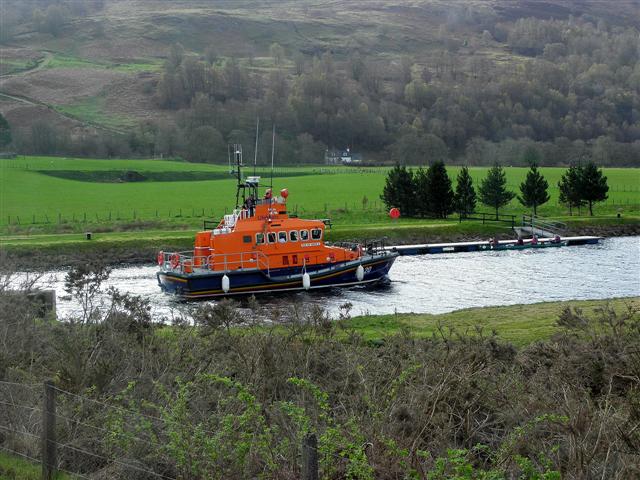
Obar Chaladair is a popular destination for outdoor enthusiasts, offering a wide range of activities for visitors to enjoy. The Loch Ness is a prominent feature, attracting tourists from around the world who hope to catch a glimpse of the legendary Loch Ness Monster. Boat tours and water sports are also available, allowing visitors to explore the vast expanse of the loch.
Surrounded by lush forests and rolling hills, the village is an ideal base for hiking and cycling adventures. The Great Glen Way, a long-distance trail that stretches from Fort William to Inverness, passes through Obar Chaladair, providing stunning views of the surrounding countryside.
The village itself boasts a few amenities, including a local pub and a handful of shops. However, for more extensive services and amenities, the city of Inverness is only a short drive away.
Overall, Obar Chaladair is a hidden gem nestled in the Scottish Highlands, offering visitors a tranquil escape and the opportunity to immerse themselves in the natural beauty and rich history of the region.
If you have any feedback on the listing, please let us know in the comments section below.
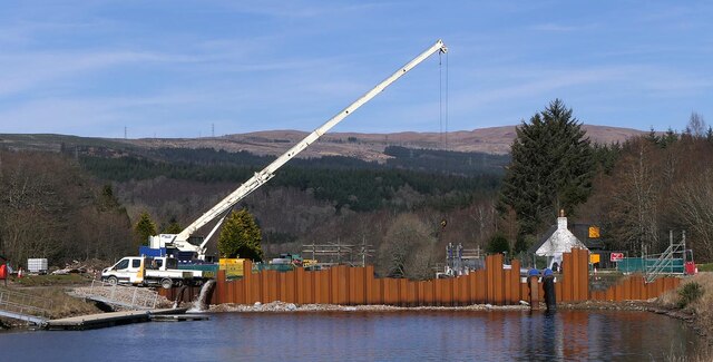
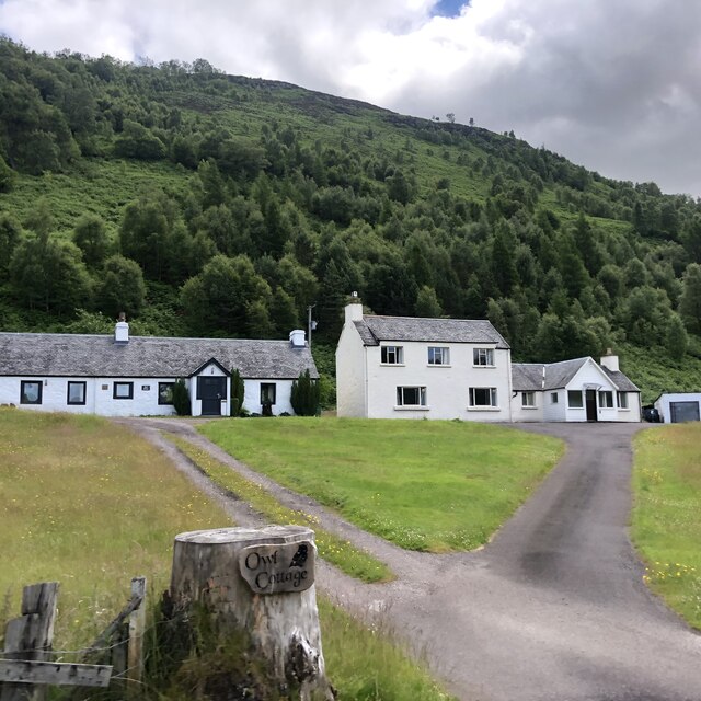
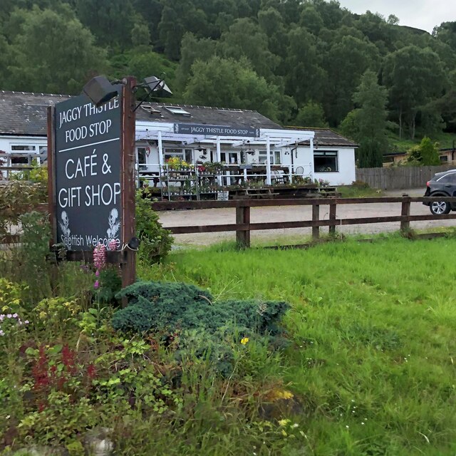
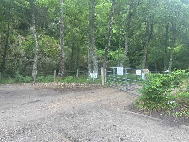
Obar Chaladair Images
Images are sourced within 2km of 57.093461/-4.743757 or Grid Reference NH3303. Thanks to Geograph Open Source API. All images are credited.
Obar Chaladair is located at Grid Ref: NH3303 (Lat: 57.093461, Lng: -4.743757)
Unitary Authority: Highland
Police Authority: Highlands and Islands
Also known as: Aberchalder
What 3 Words
///cookies.diets.jolly. Near Gairlochy, Highland
Nearby Locations
Related Wikis
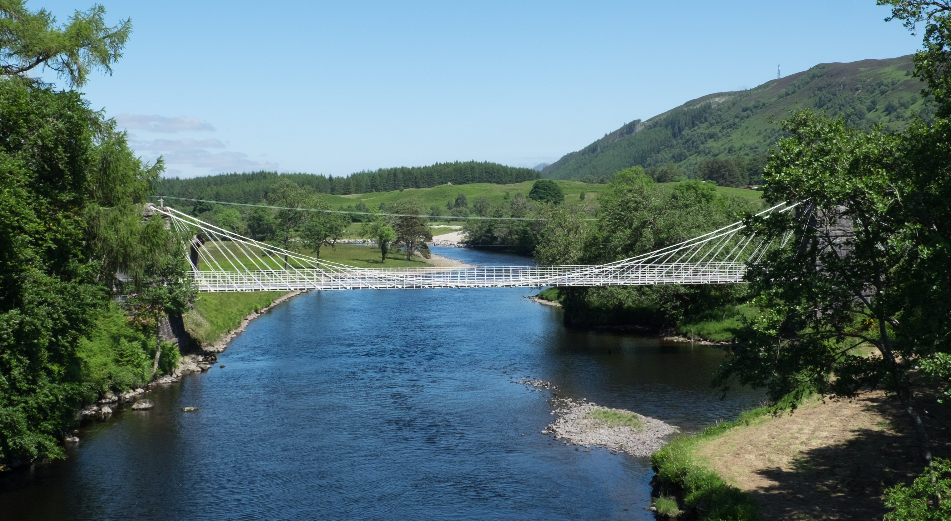
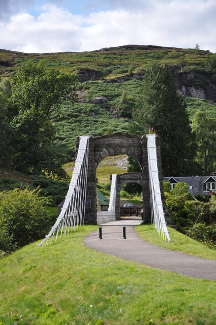
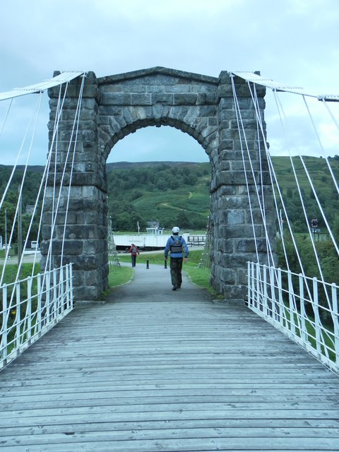
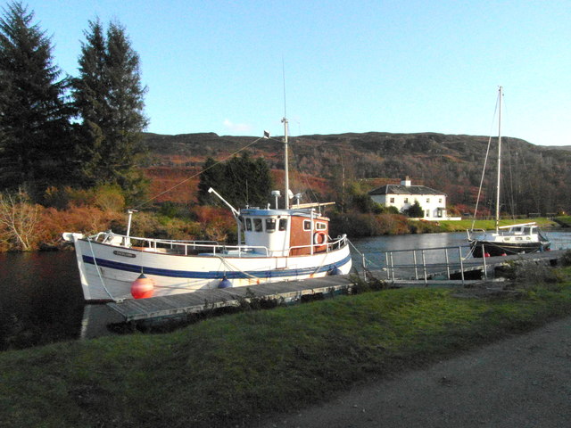
Bridge of Oich
The Bridge of Oich (also known as Victoria Bridge, Aberchalder) is a taper principle suspension bridge, designed by James Dredge, across the River Oich...

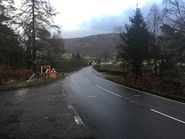
Aberchalder
Aberchalder (Gaelic: Obar Chaladair) is a small settlement and estate at the northern end of Loch Oich in the Scottish Highlands and is in the Highland...

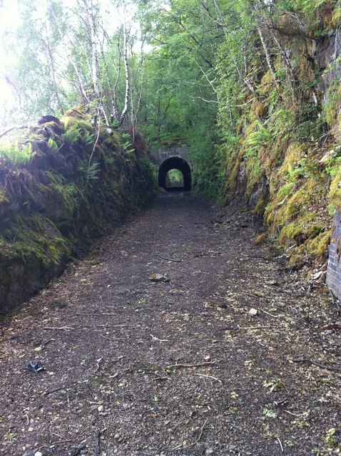
Aberchalder railway station
Aberchalder railway station served the village of Aberchalder, in the county of Inverness-shire in Scotland. == History == It was opened by the Highland...

Great Glen Fault
The Great Glen Fault is a strike-slip fault that runs through the Great Glen in Scotland. The fault is mostly inactive today, but occasional moderate tremors...

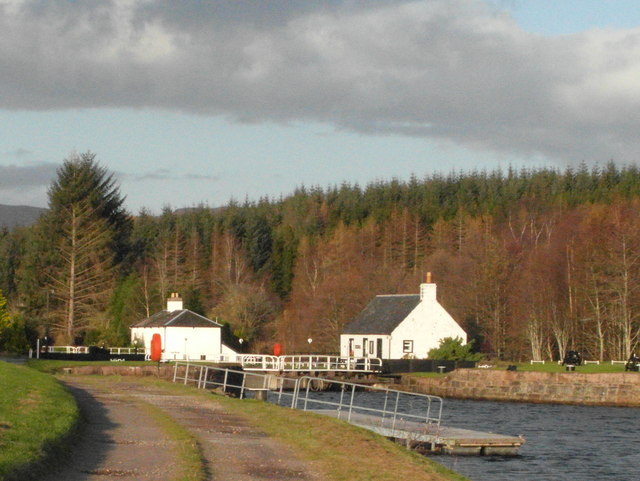
Caledonian Canal
The Caledonian Canal connects the Scottish east coast at Inverness with the west coast at Corpach near Fort William in Scotland. The canal was constructed...
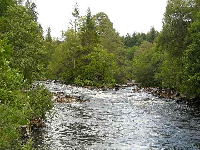
River Garry, Inverness-shire
The River Garry (Scottish Gaelic: Garadh / Abhainn Gharadh) in Inverness-shire is a Scottish river punctuated by two long Lochs, in the region of Lochaber...

Scottish Highlands
The Highlands (Scots: the Hielands; Scottish Gaelic: a' Ghàidhealtachd [ə ˈɣɛːəl̪ˠt̪ʰəxk], "the place of the Gaels") is a historical region of Scotland...

Caledonian Forest
The Caledonian Forest is the ancient (old-growth) temperate forest of Scotland. The forest today is a reduced-extent version of the pre-human-settlement...
Related Videos


Nearby Amenities
Located within 500m of 57.093461,-4.743757Have you been to Obar Chaladair?
Leave your review of Obar Chaladair below (or comments, questions and feedback).