Achlorachan Wood
Wood, Forest in Ross-shire
Scotland
Achlorachan Wood

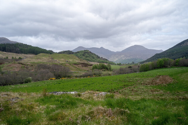
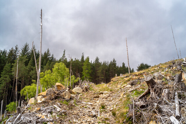
Achlorachan Wood is a picturesque forest located in Ross-shire, a county in the Highland region of Scotland. Covering an area of approximately 50 hectares, the wood is known for its rich biodiversity and stunning natural beauty.
The wood is primarily composed of native tree species, including oak, birch, alder, and rowan, which create a diverse and vibrant ecosystem. The dense canopy provides shelter for a wide variety of wildlife, including red squirrels, roe deer, and a plethora of bird species such as woodpeckers and owls. The forest floor is adorned with a carpet of wildflowers, adding a burst of color to the surroundings.
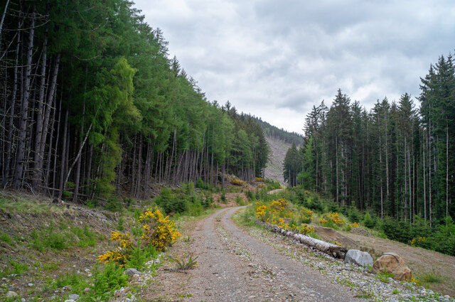
Achlorachan Wood is crisscrossed by a network of well-maintained trails, allowing visitors to explore the area on foot. These trails wind through the woods, offering breathtaking views of the surrounding landscape and providing an opportunity for nature enthusiasts and hikers to immerse themselves in the tranquil ambiance.
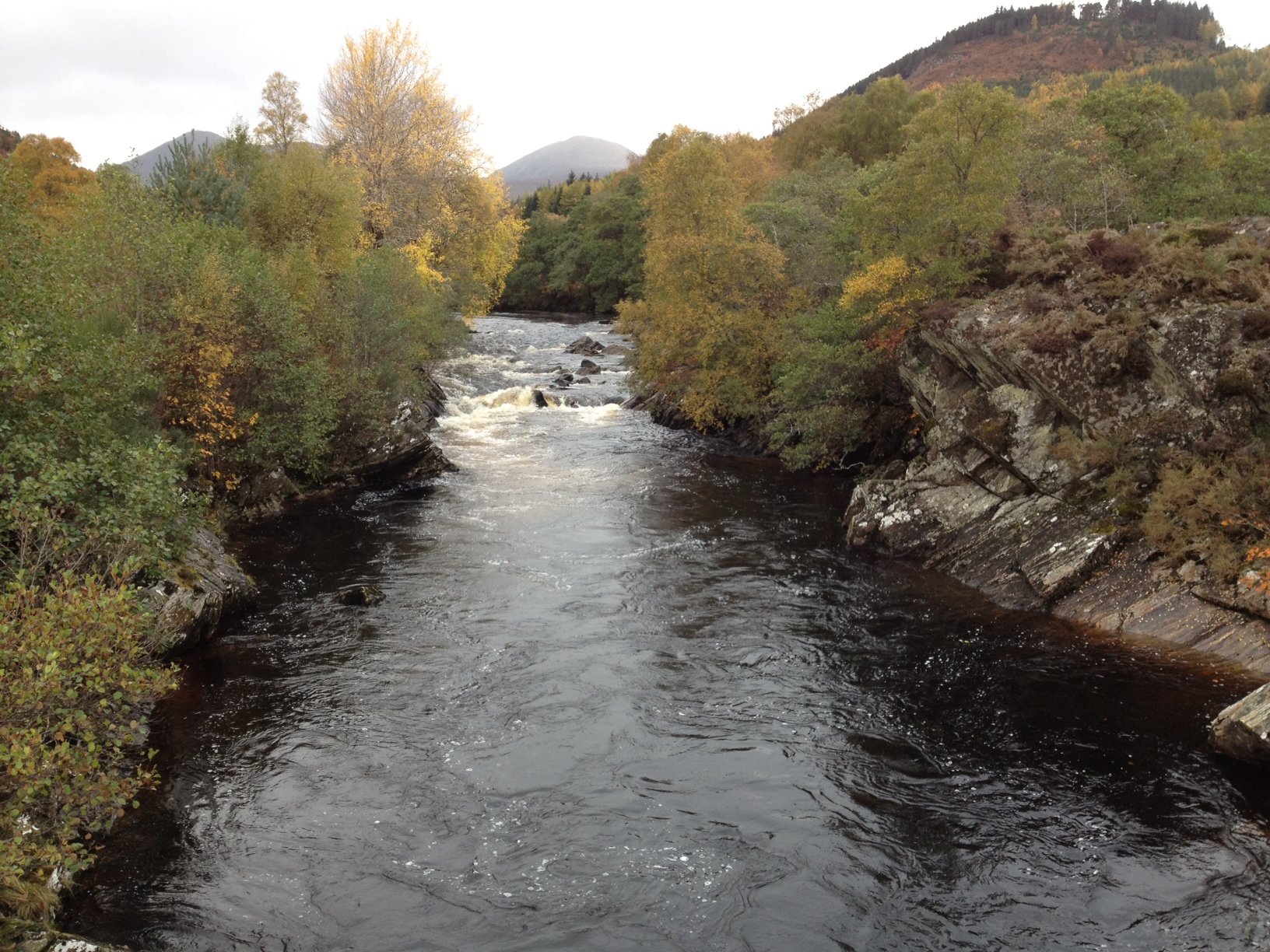
The wood is also home to a small river, which meanders through its heart, further enhancing its natural charm. The sound of the flowing water adds to the overall serenity of the environment, creating a peaceful atmosphere for visitors to enjoy.
Achlorachan Wood is a popular destination for nature lovers, photographers, and those seeking a peaceful retreat away from the hustle and bustle of everyday life. Its unique combination of diverse flora and fauna, well-maintained trails, and stunning scenery make it a must-visit location in Ross-shire, offering a true taste of Scotland's natural beauty.
If you have any feedback on the listing, please let us know in the comments section below.
Achlorachan Wood Images
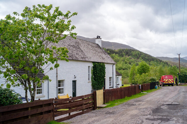
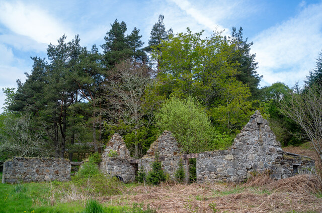
Images are sourced within 2km of 57.558646/-4.7860592 or Grid Reference NH3355. Thanks to Geograph Open Source API. All images are credited.


Achlorachan Wood is located at Grid Ref: NH3355 (Lat: 57.558646, Lng: -4.7860592)
Unitary Authority: Highland
Police Authority: Highlands and Islands
What 3 Words
///annual.pursuit.building. Near Strathpeffer, Highland
Nearby Locations
Related Wikis

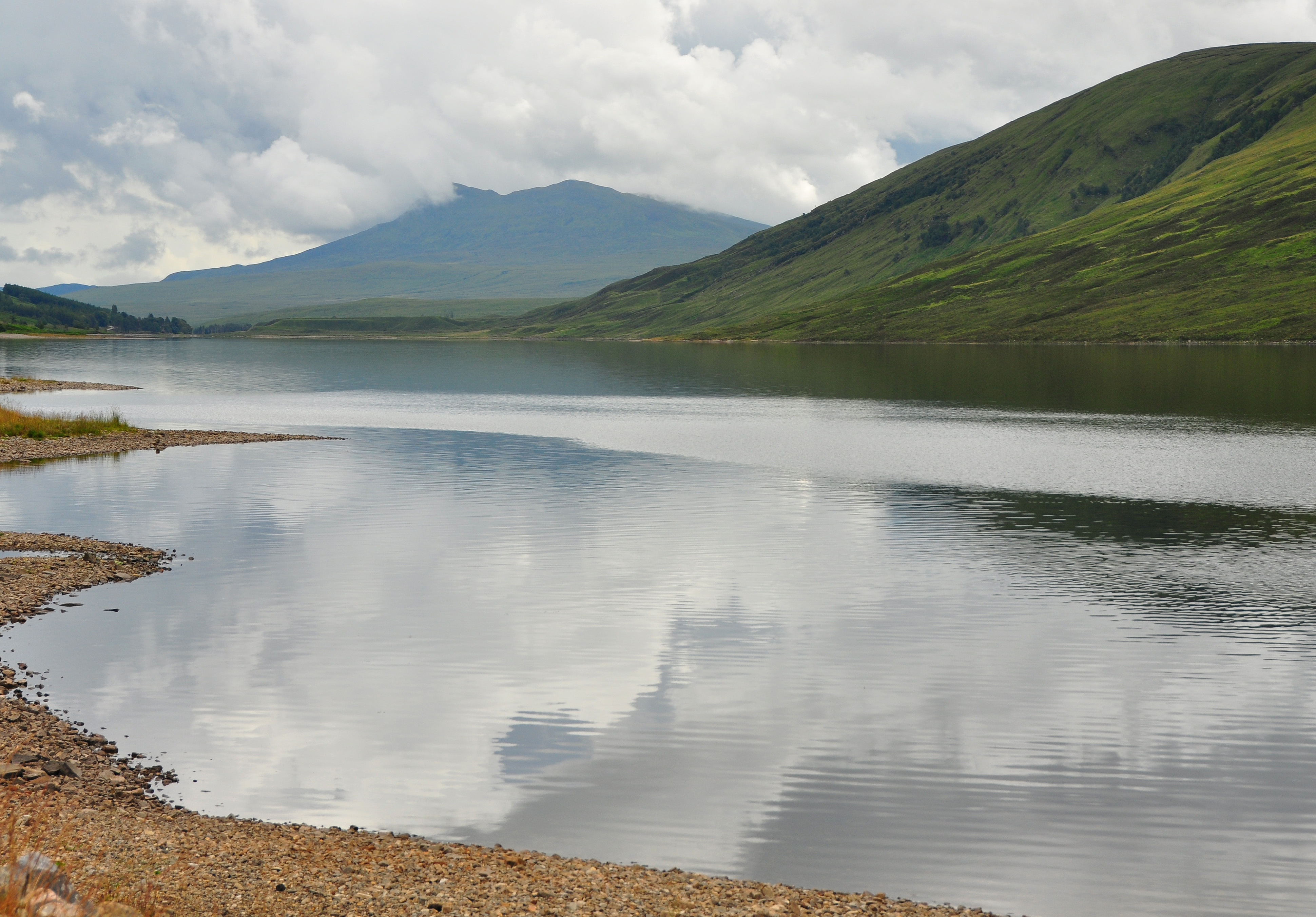
Loch Meig
Loch Meig (Scottish Gaelic: Loch Mìg) is a freshwater loch in Easter Ross, Scotland, 8.1 kilometres (5.0 mi) west of Contin. Situated on the River Meig...
River Meig
The River Meig (Scottish Gaelic: Mìg) is a river in Easter Ross. It draws its source from the meeting of several allts in the forested hills north of Loch...
Sgurr a' Mhuilinn
Sgurr a' Mhuilinn (879 m) is a mountain in Highland, Scotland. It lies in a remote location in the Northwest Highlands, approximately 40 miles (64 km)...

Grudie
Grudie (Grùididh in Scottish Gaelic) is a village, situated between Loch a' Chuilinn and Loch Luichart with the River Bran flowing past Grudie east to...
Have you been to Achlorachan Wood?
Leave your review of Achlorachan Wood below (or comments, questions and feedback).