Cane End

Settlement in Oxfordshire South Oxfordshire

England

Cane End

No Trace of The Fox This place now has no resemblance to earlier photos here.
Graham Horn's picture from 15 years ago shows the building which used to be on this site until a few years ago. Then it was a large pub "The Fox" <a href="https://www.geograph.org.uk/photo/348561">SU6779 : The Fox at Cane End</a>
A later picture of mine <a href="https://www.geograph.org.uk/photo/2083210">SU6779 : Palm Tree  (Ex Fox)</a> shows it as an Indian restaurant "The Palm Tree."  
In my caption at the time I wished them luck in this tricky out of town location.
Not to be. After yet another spell as a Thai restaurant the place finally closed its doors.
Now demolished and replaced by these new houses. The only clues are the pub style sign post which now carries the developer's name board and the new cul de sac which is called Fox Heath Gardens..
No Trace of The Fox Credit: Des Blenkinsopp

Cane End is a small village located in the county of Oxfordshire, England. Situated approximately 8 miles south of the city of Oxford, the village is nestled in the picturesque countryside of the Thames Valley. Despite its close proximity to the bustling city, Cane End maintains a tranquil and rural atmosphere.

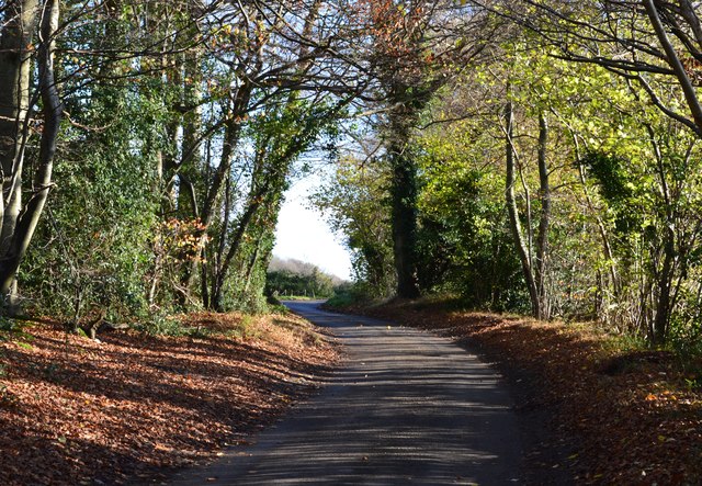
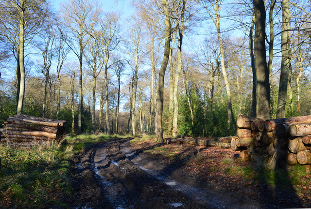
The village is characterized by its charming thatched-roof cottages, which lend a traditional and quintessentially English feel to the area. Surrounded by lush green fields and rolling hills, Cane End offers residents and visitors breathtaking views of the countryside.

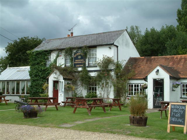
Cane End is a close-knit community, with a population of around 300 residents. It boasts a small but vibrant village center, complete with a local pub, The Fox and Hounds, which serves as a hub for social gatherings. The village also has a primary school, providing education for the local children.

For outdoor enthusiasts, Cane End offers a range of recreational activities. The nearby Aston Rowant National Nature Reserve provides ample opportunities for hiking and wildlife spotting. Additionally, the village is situated close to the Thames Path, a popular walking route that follows the River Thames.

Cane End's location provides easy access to larger towns and cities in the area, with Oxford and Reading both within a short driving distance. The village is well-connected by road, making it a convenient base for exploring the surrounding areas.

Overall, Cane End offers a tranquil and idyllic retreat for those seeking a peaceful countryside lifestyle while still enjoying the amenities of nearby urban centers.

If you have any feedback on the listing, please let us know in the comments section below.
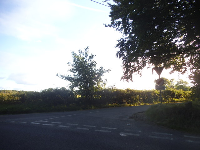
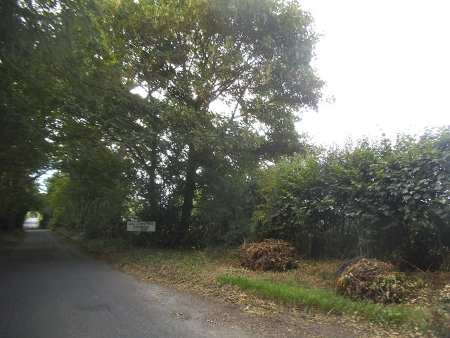
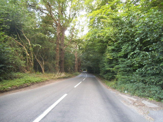
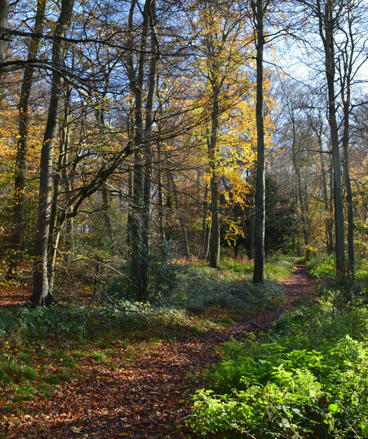
Cane End Images

Images are sourced within 2km of 51.51149/-1.024828 or Grid Reference SU6779. Thanks to Geograph Open Source API. All images are credited.

No Trace of The Fox This place now has no resemblance to earlier photos here.
Graham Horn's picture from 15 years ago shows the building which used to be on this site until a few years ago. Then it was a large pub "The Fox" <a href="https://www.geograph.org.uk/photo/348561">SU6779 : The Fox at Cane End</a>
A later picture of mine <a href="https://www.geograph.org.uk/photo/2083210">SU6779 : Palm Tree  (Ex Fox)</a> shows it as an Indian restaurant "The Palm Tree."  
In my caption at the time I wished them luck in this tricky out of town location.
Not to be. After yet another spell as a Thai restaurant the place finally closed its doors.
Now demolished and replaced by these new houses. The only clues are the pub style sign post which now carries the developer's name board and the new cul de sac which is called Fox Heath Gardens..
No Trace of The Fox
This place now has no resemblance to earlier photos here. Graham Horn's picture from 15 years ago shows the building which used to be on this site until a few years ago. Then it was a large pub "The Fox" SU6779 : The Fox at Cane End A later picture of mine SU6779 : Palm Tree (Ex Fox) shows it as an Indian restaurant "The Palm Tree." In my caption at the time I wished them luck in this tricky out of town location. Not to be. After yet another spell as a Thai restaurant the place finally closed its doors. Now demolished and replaced by these new houses. The only clues are the pub style sign post which now carries the developer's name board and the new cul de sac which is called Fox Heath Gardens..
The A4074 at the junction of Deadman's Lane
Sheepway Lane at the junction of the A4074
Wood Lane entering Gallowstree Common
Woodland by the A4074, Cane End
House entrances on Wood Lane, Kidmore End
Reading Road, Cane End
Deadman's Lane, Cane End
Reading Road in Green Dean Wood
Horsepond Road, Cane End
The King Charles Head, Goring Heath, Oxfordshire The history of this building from pub to private house can be seen here <a href="https://www.geograph.org.uk/photo/26752">SU6678 : Gutteridge Wood and The King Charles Head between Nunney Wood and Collins End</a>and here <a href="https://www.geograph.org.uk/photo/1166729">SU6678 : The King Charles Head</a>.
The King Charles Head, Goring Heath, Oxfordshire
The history of this building from pub to private house can be seen here SU6678 : Gutteridge Wood and The King Charles Head between Nunney Wood and Collins Endand here SU6678 : The King Charles Head.
Lane through the beech woods, Hook End, Oxfordshire
Woodland path, Goring Heath, Oxfordshire
Handsome beech trees, Hook End, Oxfordshire
Country lane, Gallowstree Common, Oxfordshire
Bridleway, Nuney Green, Oxfordshire
Woodland, Cane End, Oxfordshire
Field boundary, Cross Lanes, Oxfordshire
Show me another place!

Cane End is located at Grid Ref: SU6779 (Lat: 51.51149, Lng: -1.024828)

Administrative County: Oxfordshire

District: South Oxfordshire

Police Authority: Thames Valley

What 3 Words

///squirted.mere.stupidly. Near Sonning Common, Oxfordshire

Related Wikis

Trench Green

Trench Green is a hamlet in Oxfordshire about 1 mile (1.6 km) northeast of the village of Mapledurham and about 4 miles (6.4 km) northwest of Reading in...

Hook End Recording Studios

Hook End Recording Studios was a recording studio located in Hook End Manor, a 16th-century Elizabethan house near Checkendon, Oxfordshire, England. Its...

Kidmore End

Kidmore End is a village and civil parish in South Oxfordshire, centred 6 miles (10 km) NNW of Reading, Berkshire, an important regional centre of commerce...

1947 Thames flood

The 1947 Thames flood was the most severe flood of the River Thames in the 20th century, affecting much of the Thames Valley as well as elsewhere in England...

Maiden Erlegh Chiltern Edge

Maiden Erlegh Chiltern Edge (formerly Chiltern Edge Community School) is a coeducational secondary school located in Sonning Common, Oxfordshire, England...

Gallowstree Common

Gallowstree Common is a hamlet in South Oxfordshire, England, about 4.5 miles (7.2 km) north of Reading, Berkshire. The village had a public house, the...

Chazey Heath

Chazey Heath is a hamlet in Oxfordshire, England, about 3 miles (4.8 km) north of Reading, Berkshire. It is situated on the A4074 road, between Caversham...

Hardwick House, Oxfordshire

Hardwick House is a Tudor house on the banks of the River Thames on a slight rise at Whitchurch-on-Thames in the English county of Oxfordshire. It is reputed...

Nearby Amenities

Located within 500m of 51.51149,-1.024828
Created By: osmeditor2
Lat/Long: 51.512585/-1.029925
Created By: osmeditor2
Lat/Long: 51.5122633/-1.02895
Created By: osmeditor2
Lat/Long: 51.5119467/-1.027975
Created By: osmeditor2
Lat/Long: 51.5113683/-1.020175
Created By: osmeditor2
Lat/Long: 51.5110867/-1.0210517
Cane End
Created By: osmeditor2
Place: hamlet
Lat/Long: 51.5105553/-1.0241984
Speed Camera
Direction: 140
Lat/Long: 51.510529/-1.0233903
Barrier: stile
Foot: yes
Material: wood
Stile: stepover
Lat/Long: 51.5114075/-1.0181436
Bus Stop
Fox PH (Closed)
Bus: yes
Fixme: check name of stop now PH has closed
Naptan AtcoCode: 340000163FOX
Naptan Bearing: SE
Naptan CommonName: Fox PH (Closed)
Naptan Indicator: Outside
Naptan NaptanCode: oxfampjp
Naptan Street: Reading Road
Naptan Verified: no
Public Transport: platform
Shelter: no
Source: naptan_import
Lat/Long: 51.5101469/-1.0227651
Bus Stop
Fox PH (Closed)
Bus: yes
Fixme: check name of stop now PH has closed
Naptan AtcoCode: 340000163OPP
Naptan Bearing: NW
Naptan CommonName: Fox PH (Closed)
Naptan Indicator: Opposite
Naptan NaptanCode: oxfgjwjp
Naptan Street: Reading Road
Naptan Verified: no
Public Transport: platform
Shelter: no
Source: naptan_import
Lat/Long: 51.5101221/-1.0229512
Barrier: stile
Bicycle: no
Foot: yes
Material: wood
Stile: stepover
Lat/Long: 51.5126494/-1.0252402
Bicycle: no
Foot: yes
Lat/Long: 51.5090818/-1.0226362
Bicycle: no
Foot: yes
Lat/Long: 51.5089857/-1.0225689
Barrier: stile
Bicycle: no
Foot: yes
Material: wood
Stile: stepover
Lat/Long: 51.511404/-1.028872
Barrier: stile
Bicycle: no
Foot: yes
Material: wood
Stile: stepover
Lat/Long: 51.5113379/-1.0242521
Barrier: stile
Foot: yes
Material: wood
Stile: stepover
Lat/Long: 51.5116707/-1.0190303
Barrier: stile
Bicycle: no
Foot: yes
Material: wood
Stile: stepover
Lat/Long: 51.5125755/-1.0230731
Barrier: kissing_gate
Bicycle: no
Foot: yes
Lat/Long: 51.514855/-1.0291949
Post Box
Post Box Mounting: brick_pillar
Post Box Type: wall
Lat/Long: 51.5108272/-1.0234721
Telephone
Booth: K6
Covered: booth
Man Made: telephone_box
Lat/Long: 51.5108285/-1.0235139
Bench
Backrest: yes
Lat/Long: 51.5108295/-1.0235535
Advertising: board
Lat/Long: 51.5108319/-1.0235896
The data included in this document is from www.openstreetmap.org. The data is made available under ODbL.

Have you been to Cane End?

Leave your review of Cane End below (or comments, questions and feedback).