Candy Mill

Settlement in Peeblesshire

Scotland

Candy Mill

Gallow Law Looking northwest from the A72 east of Skirling.
Gallow Law Credit: M J Richardson

Candy Mill is a small village located in Peeblesshire, a historic county in the Scottish Borders region of Scotland. Situated on the banks of the River Tweed, the village is known for its picturesque setting and rich heritage.

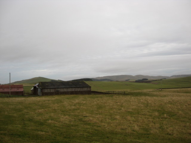
The name "Candy Mill" originates from the historic mill that once stood in the area, producing flour and other grain products. Today, remnants of the mill can still be seen, adding to the village's charm and character.

With a population of around 300 residents, Candy Mill offers a peaceful and close-knit community atmosphere. The village is predominantly residential, with a scattering of traditional stone houses and cottages lining the streets.

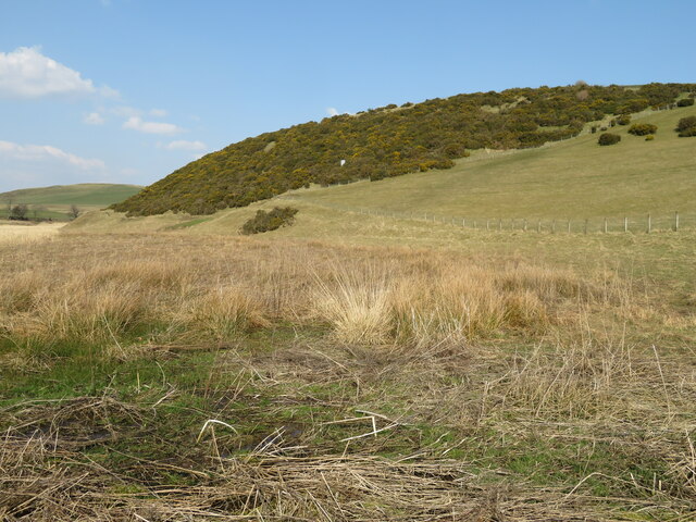
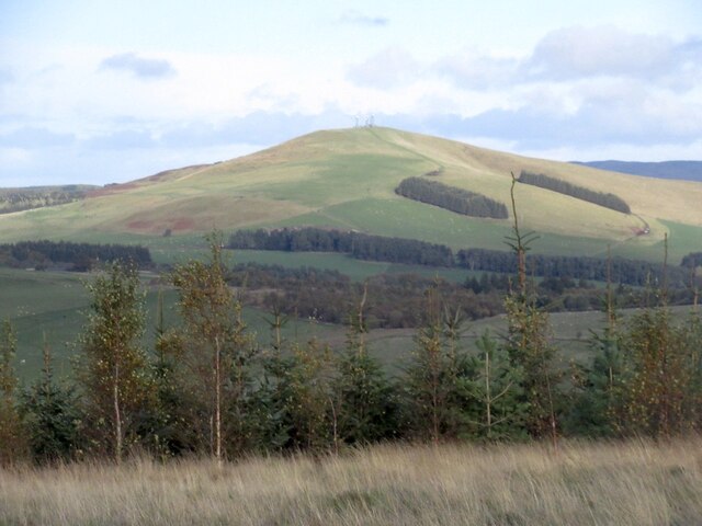
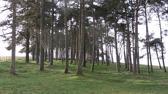
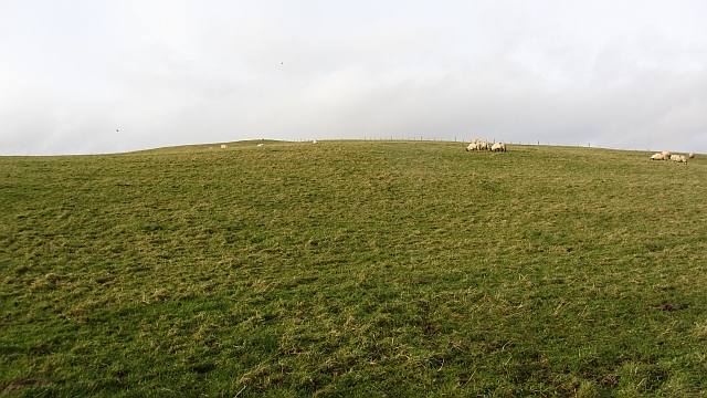
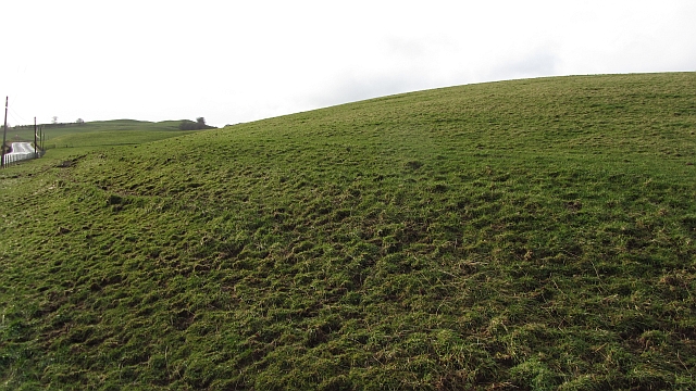
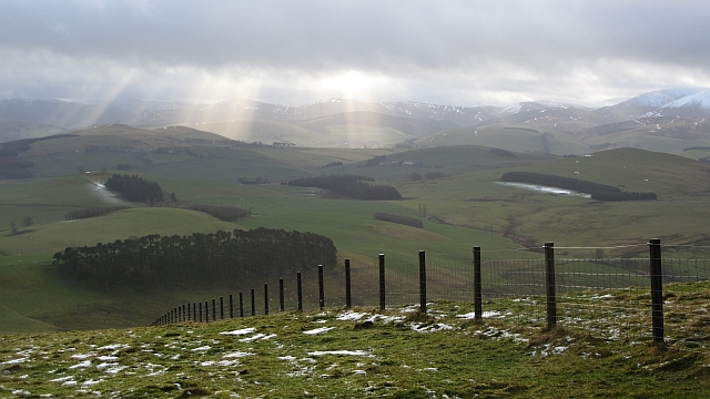
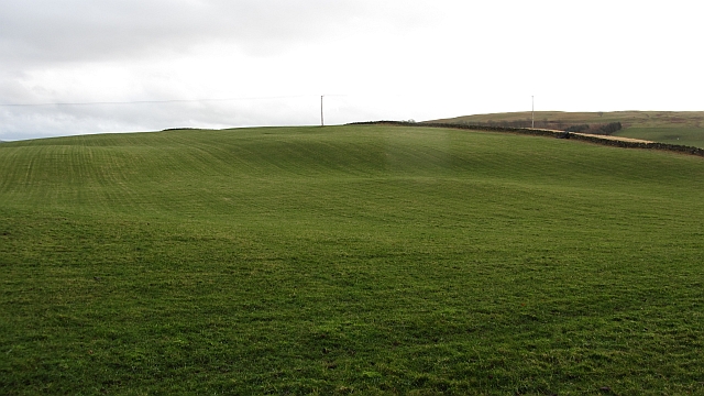
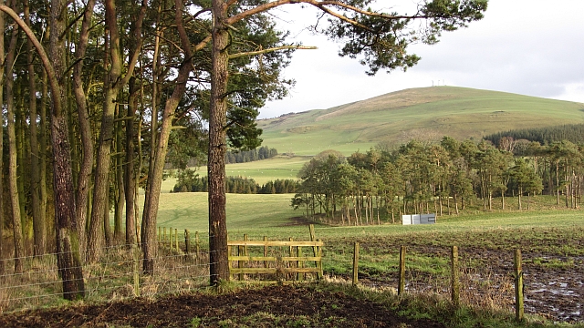
Nature lovers are drawn to Candy Mill for its natural beauty and proximity to the Scottish countryside. The area is surrounded by rolling hills, lush green fields, and dense forests, providing ample opportunities for outdoor activities such as hiking, cycling, and fishing.

Despite its small size, Candy Mill benefits from a few amenities. There is a local village hall that hosts community events and gatherings, as well as a small pub where locals and visitors can enjoy a pint and a meal.

Visitors to Candy Mill can also explore the nearby attractions, including the historic town of Peebles, which is just a short drive away. Peebles offers a wider range of amenities, including shops, restaurants, and cultural sites.

In conclusion, Candy Mill is a charming village in Peeblesshire, Scotland, offering a serene and scenic setting for residents and visitors alike. With its rich history and proximity to nature, it is a hidden gem in the Scottish Borders.

If you have any feedback on the listing, please let us know in the comments section below.

Candy Mill Images

Images are sourced within 2km of 55.659464/-3.4780286 or Grid Reference NT0741. Thanks to Geograph Open Source API. All images are credited.

Gallow Law Looking northwest from the A72 east of Skirling.
Gallow Law
Looking northwest from the A72 east of Skirling.
Candy Burn ford and footbridge The boundary between the Scottish Borders [this side] and South Lanarkshire [across the burn]. On the road from Skirling and Cambwell to the main A702 Biggar to Edinburgh road.
Candy Burn ford and footbridge
The boundary between the Scottish Borders [this side] and South Lanarkshire [across the burn]. On the road from Skirling and Cambwell to the main A702 Biggar to Edinburgh road.
Hillside Gorse at Cambwell The hill slopes down to Candy Burn.
Hillside Gorse at Cambwell
The hill slopes down to Candy Burn.
Broomy Law Mast topped hill.
Broomy Law
Mast topped hill.
Summit, Broomy Law With gratitude to the telecoms companies who have left the summit outwith their enclosures.
Summit, Broomy Law
With gratitude to the telecoms companies who have left the summit outwith their enclosures.
Strip wood, Strathbogie A grown up and grown out shelterbelt.
Strip wood, Strathbogie
A grown up and grown out shelterbelt.
Castle Hill Sheep graze on a small hill north of Biggar. There is a hill fort at the summit.
Castle Hill
Sheep graze on a small hill north of Biggar. There is a hill fort at the summit.
Slopes of Castle Hill Grassland beside the A702.
Slopes of Castle Hill
Grassland beside the A702.
Masts and enclosures, Broomy Law There are several masts in this field which is also the summit of Broomy Law.
Masts and enclosures, Broomy Law
There are several masts in this field which is also the summit of Broomy Law.
Open cabinet, Broomy Law A cabinet containing circuit boards is open and exposed to the elements. The enclosure is secure, suggesting that this is a weather event. There had been a severe storm a few days earlier and winds up here would have been in excess of 100kph.
Open cabinet, Broomy Law
A cabinet containing circuit boards is open and exposed to the elements. The enclosure is secure, suggesting that this is a weather event. There had been a severe storm a few days earlier and winds up here would have been in excess of 100kph.
Fence, Broomy Law A view from near the summit over an electric fence towards farmland near Biggar and Skirling. Shaded areas have kept their thin layer of snow.
Fence, Broomy Law
A view from near the summit over an electric fence towards farmland near Biggar and Skirling. Shaded areas have kept their thin layer of snow.
Grassland, Middle Mains Rolling hill country north of  Biggar.
Grassland, Middle Mains
Rolling hill country north of Biggar.
Clubhead Plantation and Kame Wood A pair of woodlands at Strathbogie near Elsrickle. There is also a view over to Broomy Law.
Clubhead Plantation and Kame Wood
A pair of woodlands at Strathbogie near Elsrickle. There is also a view over to Broomy Law.
Broomy Law Parked on the A721 where it reaches the ridge, then a bit of a trudge before the shorter grass and easier going was reached.
Name: Broomy Law
Hill number: 1822
Height: 426m / 1398ft
Area: 28A: Firth of Forth to the River Tweed
Class: Ma
Grid ref: NT 08546 42875
Summit feature: no feature: east of masts before fence line
Drop: 165m
Col: 261m  NT085442
Broomy Law
Parked on the A721 where it reaches the ridge, then a bit of a trudge before the shorter grass and easier going was reached. Name: Broomy Law Hill number: 1822 Height: 426m / 1398ft Area: 28A: Firth of Forth to the River Tweed Class: Ma Grid ref: NT 08546 42875 Summit feature: no feature: east of masts before fence line Drop: 165m Col: 261m NT085442
Farm buildings at Middle Mains On the lower slopes of Ewe Hill in South Lanarkshire.
Farm buildings at Middle Mains
On the lower slopes of Ewe Hill in South Lanarkshire.
The Site of Castle Hill Fort Viewed westward from the Triangulation Pillar.
The Site of Castle Hill Fort
Viewed westward from the Triangulation Pillar.
Road through Candybank Looking northward.
Road through Candybank
Looking northward.
The Romans Were Here This stretch of the A702 near Biggar follows the course of a Roman Road.
The Romans Were Here
This stretch of the A702 near Biggar follows the course of a Roman Road.
Show me another place!

Candy Mill is located at Grid Ref: NT0741 (Lat: 55.659464, Lng: -3.4780286)

Unitary Authority: The Scottish Borders

Police Authority: The Lothians and Scottish Borders

What 3 Words

///neater.dumplings.tenure. Near Biggar, South Lanarkshire

Nearby Locations

Candy Mill

Related Wikis

Brownsbank

Brownsbank (Brounsbank in Scots) is a cottage close to the small settlement of Candymill to the north of Biggar in Scotland. It is best known as the former...

Elsrickle

Elsrickle is a village in South Lanarkshire, Scotland. It lies on Blackmount Hill, which is at the end of the Pentland Hills. An elrick is an old place...

Skirling

Skirling is a parish, community council area and village in Peeblesshire in the Scottish Borders situated 2+1⁄2 miles east of Biggar in Lanarkshire. Biggar...

Walston, South Lanarkshire

Walston is a hamlet in the middle of black mount area of South Lanarkshire. == History == Patrick Molleson in the Old Statistical Account records that...

Nearby Amenities

Located within 500m of 55.659464,-3.4780286
Bus Stop
Candymill Road
Bus: yes
Naptan AtcoCode: 61501272
Naptan Bearing: SW
Naptan CommonName: Candymill Road
Naptan Indicator: opp
Naptan Landmark: Candymill Road
Naptan NaptanCode: 75235758
Naptan Street: A702
Public Transport: platform
Ref: 61501272
Source: NaPTAN
Lat/Long: 55.6583642/-3.4750672
Power: pole
Lat/Long: 55.6599836/-3.4804801
Power: pole
Lat/Long: 55.6620594/-3.4815315
Power: pole
Lat/Long: 55.6584402/-3.4796862
Power: pole
Lat/Long: 55.6592261/-3.4801982
Power: pole
Lat/Long: 55.6608027/-3.480901
Power: pole
Lat/Long: 55.6577252/-3.4793131
Power: pole
Lat/Long: 55.6615783/-3.4812902
Power: pole
Lat/Long: 55.6625941/-3.4818183
Power: pole
Lat/Long: 55.6629723/-3.4824298
Candy Mill
Place: hamlet
Lat/Long: 55.6595392/-3.4748202
Power: pole
Lat/Long: 55.6600607/-3.4752801
Power: pole
Lat/Long: 55.660158/-3.4745674
Power: pole
Lat/Long: 55.6603086/-3.4734531
Power: pole
Lat/Long: 55.6602374/-3.47265
Power: pole
Lat/Long: 55.6606644/-3.4719583
Power: pole
Lat/Long: 55.6610296/-3.4713276
Bus Stop
Candymill Road
Bus: yes
Naptan AtcoCode: 61501866
Naptan Bearing: NE
Naptan CommonName: Candymill Road
Naptan Indicator: at
Naptan Landmark: Candymill Road
Naptan NaptanCode: 75235758
Naptan Street: A702
Public Transport: platform
Ref: 61501866
Source: NaPTAN
Lat/Long: 55.6587817/-3.4748061
The data included in this document is from www.openstreetmap.org. The data is made available under ODbL.

Have you been to Candy Mill?

Leave your review of Candy Mill below (or comments, questions and feedback).