Chalkpit Shaw
Wood, Forest in Oxfordshire South Oxfordshire
England
Chalkpit Shaw

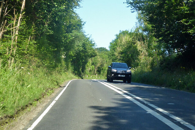
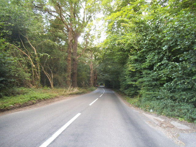
Chalkpit Shaw is a picturesque woodland area located in Oxfordshire, England. Situated near the village of Wood, this forested region covers a vast expanse of approximately 100 acres. The shaw is primarily composed of dense ancient oak and beech trees, creating a lush green canopy that provides a serene and tranquil atmosphere.
This enchanting woodland is a popular destination for nature enthusiasts, hikers, and birdwatchers alike. The diverse range of flora and fauna found within Chalkpit Shaw makes it an ideal habitat for a variety of wildlife species. Visitors may encounter deer, badgers, and foxes, as well as a rich assortment of birdlife, including woodpeckers, owls, and warblers.
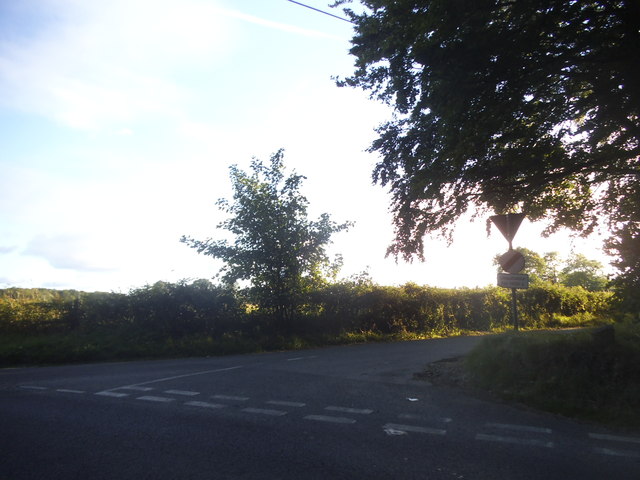
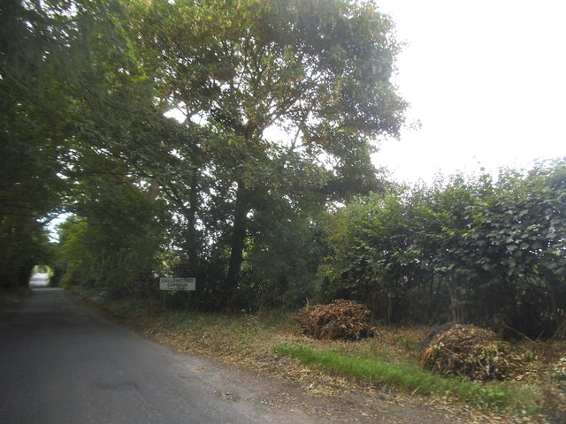
The forest is crisscrossed by a network of well-maintained footpaths and trails, allowing visitors to explore the area at their leisure. There are several designated picnic areas and benches scattered throughout the shaw, providing opportunities for visitors to relax and appreciate the natural surroundings.
Chalkpit Shaw is not only a haven for wildlife but also a valuable historical site. The woodland is believed to have ancient origins, dating back hundreds of years. Archaeological evidence suggests that the area was once used for charcoal production, hence the name "Chalkpit." Today, remnants of the charcoal pits can still be found, offering a glimpse into the region's industrial past.
Overall, Chalkpit Shaw is an idyllic woodland retreat that offers a peaceful escape from the hustle and bustle of everyday life. Whether it's a leisurely stroll, a picnic with family and friends, or an exploration of the area's natural and historical wonders, this Oxfordshire forest has something to offer for everyone.
If you have any feedback on the listing, please let us know in the comments section below.
Chalkpit Shaw Images
Images are sourced within 2km of 51.506098/-1.0254218 or Grid Reference SU6779. Thanks to Geograph Open Source API. All images are credited.


Chalkpit Shaw is located at Grid Ref: SU6779 (Lat: 51.506098, Lng: -1.0254218)
Administrative County: Oxfordshire
District: South Oxfordshire
Police Authority: Thames Valley
What 3 Words
///nozzles.costly.singer. Near Sonning Common, Oxfordshire
Nearby Locations
Related Wikis

Trench Green
Trench Green is a hamlet in Oxfordshire about 1 mile (1.6 km) northeast of the village of Mapledurham and about 4 miles (6.4 km) northwest of Reading in...

1947 Thames flood
The 1947 Thames flood was the most severe flood of the River Thames in the 20th century, affecting much of the Thames Valley as well as elsewhere in England...

Kidmore End
Kidmore End is a village and civil parish in South Oxfordshire, centred 6 miles (10 km) NNW of Reading, Berkshire, an important regional centre of commerce...

Chazey Heath
Chazey Heath is a hamlet in Oxfordshire, England, about 3 miles (4.8 km) north of Reading, Berkshire. It is situated on the A4074 road, between Caversham...

Hardwick House, Oxfordshire
Hardwick House is a Tudor house on the banks of the River Thames on a slight rise at Whitchurch-on-Thames in the English county of Oxfordshire. It is reputed...

Mapledurham Watermill
Mapledurham Watermill is a historic watermill in the civil parish of Mapledurham in the English county of Oxfordshire. It is driven by the head of water...

Mapledurham Lock
Mapledurham Lock is a lock and weir situated on the River Thames in England, about 4 miles upstream of Reading. The lock was first built in 1777 by the...

Tokers Green
Tokers Green is a hamlet in South Oxfordshire, England, about 4 miles (6.4 km) north of Reading, Berkshire. Its village neighbours are Chazey Heath and...
Nearby Amenities
Located within 500m of 51.506098,-1.0254218Have you been to Chalkpit Shaw?
Leave your review of Chalkpit Shaw below (or comments, questions and feedback).