Alt Wood
Wood, Forest in Wigtownshire
Scotland
Alt Wood
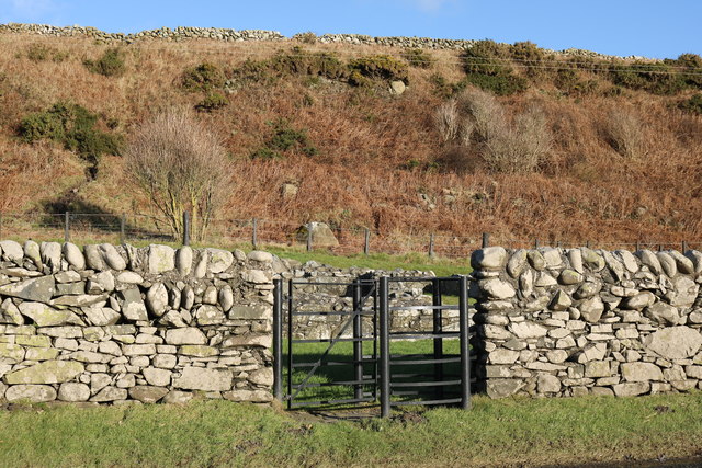
Alt Wood is a picturesque forest located in Wigtownshire, Scotland. Spanning an area of approximately 500 acres, this woodland is known for its stunning natural beauty and diverse range of flora and fauna. Nestled amidst rolling hills and surrounded by breathtaking landscapes, Alt Wood offers a tranquil and serene environment for visitors to explore and enjoy.
The forest is predominantly composed of native tree species such as oak, birch, and ash, creating a rich and vibrant ecosystem. The canopy formed by these magnificent trees provides shelter for a variety of wildlife, including red squirrels, roe deer, and numerous bird species. Walking through the forest, one can hear the enchanting songs of woodland birds and the rustling of leaves underfoot, creating a captivating symphony of nature.
Alt Wood offers an extensive network of walking trails, allowing visitors to immerse themselves in the beauty of the forest. These trails cater to all levels of fitness and provide opportunities for both leisurely strolls and more challenging hikes. Along the way, visitors can discover hidden gems such as cascading waterfalls, peaceful ponds, and breathtaking viewpoints that offer sweeping vistas of the surrounding countryside.
In addition to its natural beauty, Alt Wood also boasts a rich cultural history. The forest has been used by local communities for centuries, providing a source of timber, fuel, and inspiration for traditional crafts. Today, it continues to be a cherished space for locals and tourists alike, offering a sanctuary from the hustle and bustle of everyday life.
Overall, Alt Wood in Wigtownshire is a captivating destination for nature lovers, offering a unique blend of natural beauty, wildlife, and cultural heritage.
If you have any feedback on the listing, please let us know in the comments section below.
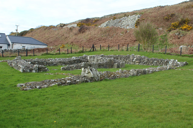
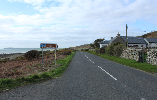
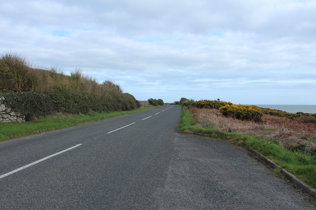
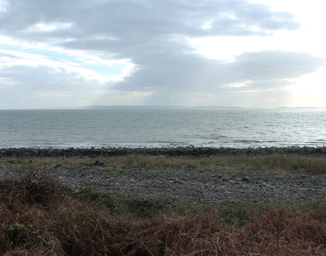
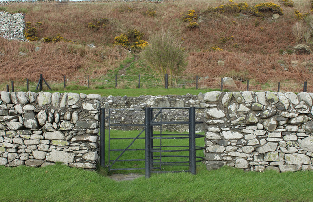
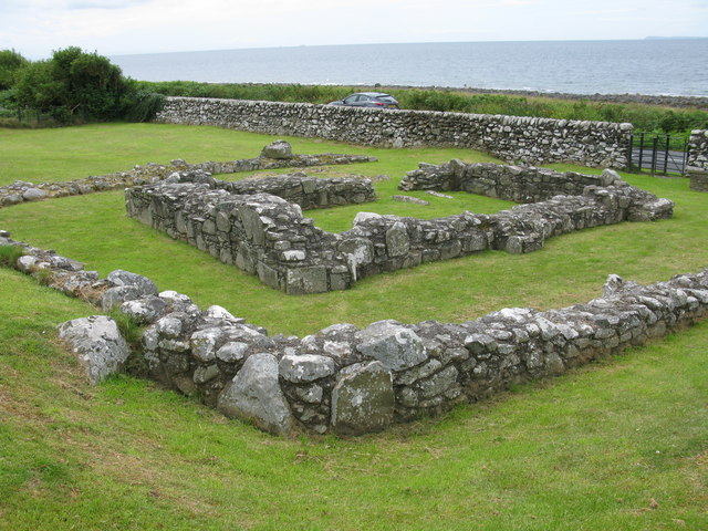
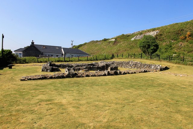
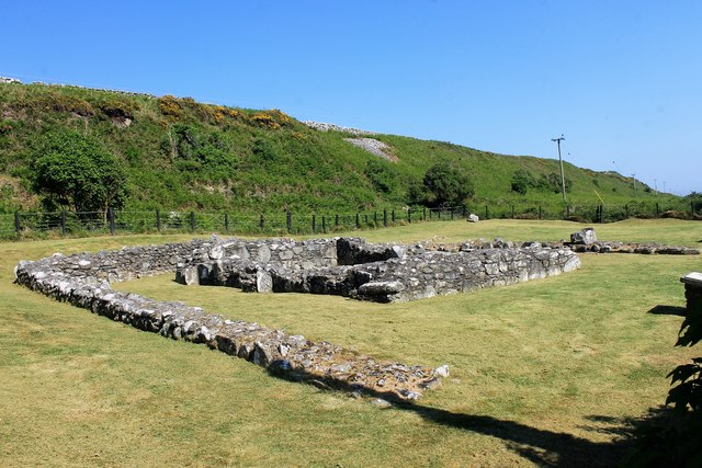
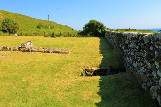
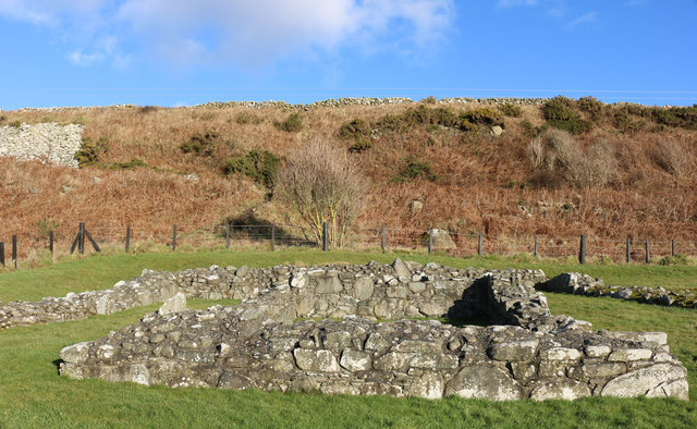
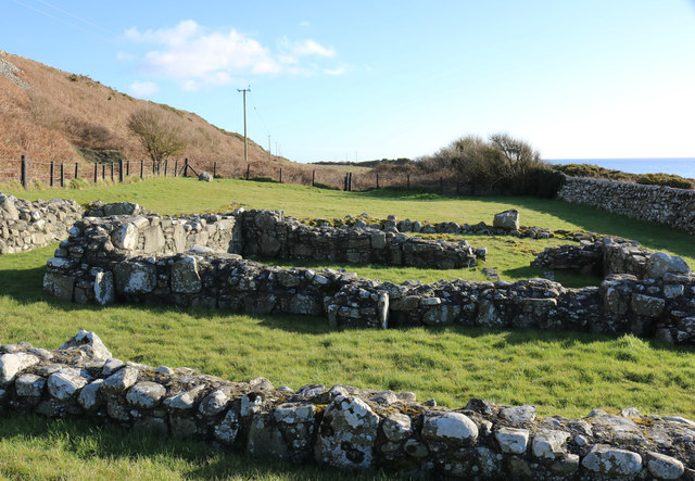
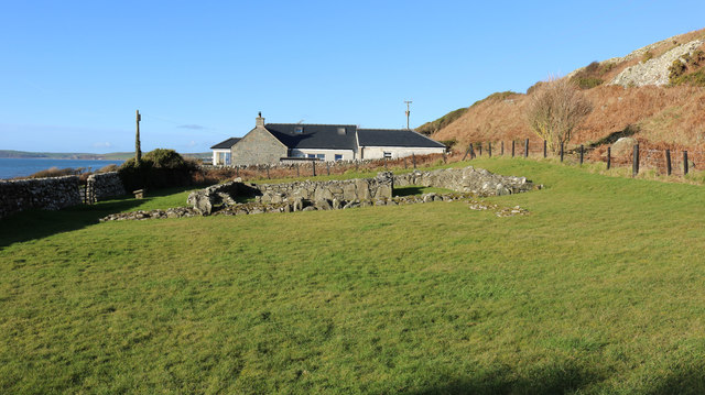
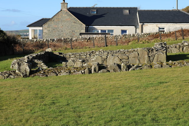
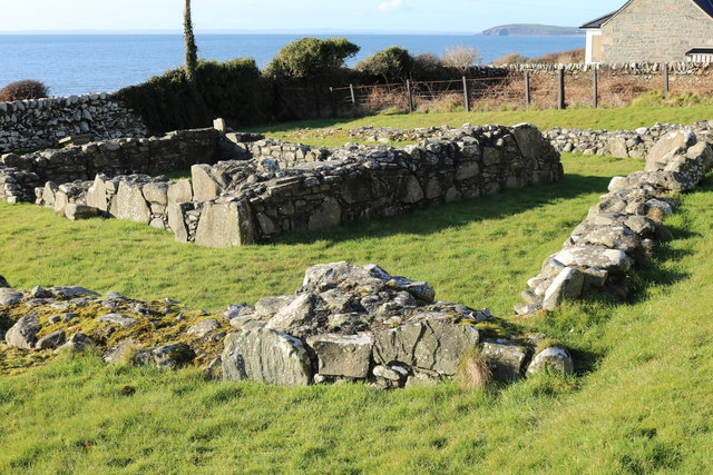
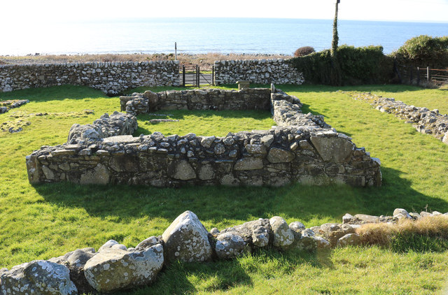
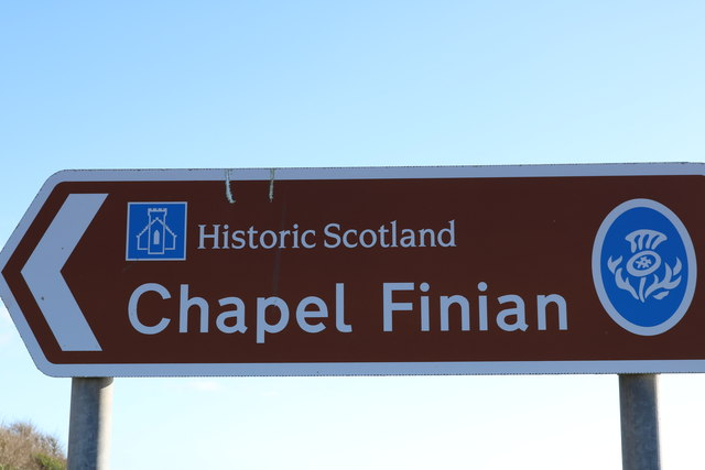
Alt Wood Images
Images are sourced within 2km of 54.815475/-4.6805046 or Grid Reference NX2750. Thanks to Geograph Open Source API. All images are credited.

Alt Wood is located at Grid Ref: NX2750 (Lat: 54.815475, Lng: -4.6805046)
Unitary Authority: Dumfries and Galloway
Police Authority: Dumfries and Galloway
What 3 Words
///breathy.losing.digit. Near Drummore, Dumfries & Galloway
Nearby Locations
Related Wikis

Doon of May
The Doon of May is a conifer plantation associated with an Iron Age hill fort in Dumfries and Galloway, south-west Scotland. Located around 14 kilometres...

Machars
The Machars (Scottish Gaelic: Machair Ghallghaidhealaibh) is a peninsula in the historical county of Wigtownshire in Galloway in the south-west of Scotland...

Mochrum Loch
Mochrum Loch is a large, irregular shaped, shallow, freshwater loch in Dumfries and Galloway, in the Southern Uplands of south-west Scotland. It lies approximately...

Castle Loch, Dumfries and Galloway
Castle Loch is a large, shallow, freshwater loch in Dumfries and Galloway, in the Southern Uplands of south-west Scotland. It lies to the west of Mochrum...
Castle Loch
Castle Loch is a shallow eutrophic loch covering an area of around 100 hectares in the town of Lochmaben in Dumfries and Galloway, Scotland. It lies to...

Wigtown Area
Wigtown is a lieutenancy area in south-west Scotland and a committee area of Dumfries and Galloway Council. From 1975 until 1996 it was also a local government...

Wigtownshire
Wigtownshire or the County of Wigtown (Scottish Gaelic: Siorrachd Bhaile na h-Ùige, Scots: Wigtounshire) is one of the historic counties of Scotland, covering...

Elrig
Elrig (Scottish Gaelic: An Eileirg, meaning "the deer run") is a clachan or hamlet in the historical county of Wigtownshire in Dumfries and Galloway...
Nearby Amenities
Located within 500m of 54.815475,-4.6805046Have you been to Alt Wood?
Leave your review of Alt Wood below (or comments, questions and feedback).