Coille a' Bhreun-Leitir

Wood, Forest in Cromartyshire

Scotland

Coille a' Bhreun-Leitir

Moorland scene with peat hags and bog
Moorland scene with peat hags and bog Credit: John Ferguson

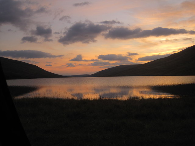
Coille a' Bhreun-Leitir, located in Cromartyshire, is a captivating woodland area encompassing an expansive forest of natural beauty. Situated on the eastern coast of Scotland, this enchanting wood boasts a diverse range of flora and fauna, making it a haven for nature enthusiasts and wildlife lovers alike.

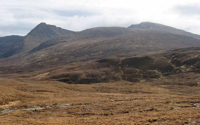
The forest covers an impressive expanse, with towering trees creating a serene and peaceful atmosphere. Oak, birch, and pine trees dominate the landscape, providing a dense canopy that filters sunlight and creates a cool and shaded environment. The forest floor is carpeted with a rich tapestry of mosses, ferns, and wildflowers, adding to the visual appeal of the woodland.

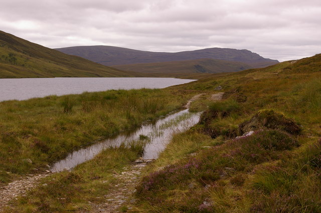
Coille a' Bhreun-Leitir is home to a variety of wildlife, including red deer, foxes, badgers, and a plethora of bird species. The forest teems with life, offering ample opportunities for birdwatching and animal spotting. Nature enthusiasts can also find numerous walking trails and hiking routes that wind through the woodland, allowing visitors to immerse themselves in the tranquility of nature.

In addition to its natural beauty, Coille a' Bhreun-Leitir holds historical significance. The forest has been cherished by the local community for centuries, and remnants of ancient settlements can still be found within its boundaries. These remnants serve as a testament to the deep-rooted connection between humans and the land.

Overall, Coille a' Bhreun-Leitir in Cromartyshire is a captivating woodland that offers a respite from the hustle and bustle of everyday life. Its natural beauty, diverse wildlife, and historical significance make it a must-visit destination for those seeking solace in the embrace of nature.

If you have any feedback on the listing, please let us know in the comments section below.

Coille a' Bhreun-Leitir Images

Images are sourced within 2km of 57.903844/-4.9059618 or Grid Reference NH2794. Thanks to Geograph Open Source API. All images are credited.

Moorland scene with peat hags and bog
Moorland scene below Mullach a' Bhreun -Leitir
Summit of Mullach a' Bhreun - Leitir
Loch Labharaig Strath Mulzie
Loch an Daimh This was taken 8th September 2012 just before sunset.
Loch an Daimh
This was taken 8th September 2012 just before sunset.
Loch an Daimh Taken on 9th September 2012 at sunrise.
Loch an Daimh
Taken on 9th September 2012 at sunrise.
Loch an Daimh Drier ground here is shown by green short grass. The grass is short as this is favoured by deer, which graze the drier slopes. The dark stuff is purple moorgrass which is rarely eaten.
Loch an Daimh
Drier ground here is shown by green short grass. The grass is short as this is favoured by deer, which graze the drier slopes. The dark stuff is purple moorgrass which is rarely eaten.
Shore of Loch an Daimh. Path running along an increasingly unusual natural shoreline.  The loch is perched on the east/west watershed of Scotland, above a big drop to the west. It is an obvious target for hydroelectric development, and it is surprising that it was not exploited during the great hydro project of the post-war years.
Shore of Loch an Daimh.
Path running along an increasingly unusual natural shoreline. The loch is perched on the east/west watershed of Scotland, above a big drop to the west. It is an obvious target for hydroelectric development, and it is surprising that it was not exploited during the great hydro project of the post-war years.
Allt nan Caorach A probable melt water channel, a small ravine with a  string of narrow lochans in its bed,  dammed by landslips from the sidewalls.
A pony path crosses above giving good views of the feature.
Allt nan Caorach
A probable melt water channel, a small ravine with a string of narrow lochans in its bed, dammed by landslips from the sidewalls. A pony path crosses above giving good views of the feature.
Strath Mulzie. A new track can be seen. This runs for another 8km  up to Gleann a'Cadha Dheirg. The backdrop is Seana Bhraigh and An Sgurr, both just over 900m above sealevel.
Strath Mulzie.
A new track can be seen. This runs for another 8km up to Gleann a'Cadha Dheirg. The backdrop is Seana Bhraigh and An Sgurr, both just over 900m above sealevel.
Loch an Daimh The head of Loch an Daimh. Not far behind where I was standing is the east-west watershed, and a steep drop into Glen Achall. The loch is supplied with a boat for trout fishing.
Loch an Daimh
The head of Loch an Daimh. Not far behind where I was standing is the east-west watershed, and a steep drop into Glen Achall. The loch is supplied with a boat for trout fishing.
Loch an Daimh from its south west shore Loch an Daimh on a bright and calm spring day. 
The only ripples on the water were from numerous trout rises.
A boatshed is visible on the left hand (Northern) shore.
Loch an Daimh from its south west shore
Loch an Daimh on a bright and calm spring day. The only ripples on the water were from numerous trout rises. A boatshed is visible on the left hand (Northern) shore.
Boat shelter A lonely boat shelter at Loch Daimh
Boat shelter
A lonely boat shelter at Loch Daimh
Allt nan Caorach from Glen Achall to Loch an Daimh track
Sheep on moorland on the northern shore of Loch an Daimh, with Mullach a' Bhreum-Leitir behind These sheep were the most interesting feature of this rather desolate square!   Note the small patch of woodland on the opposite hillside
Sheep on moorland on the northern shore of Loch an Daimh, with Mullach a' Bhreum-Leitir behind
These sheep were the most interesting feature of this rather desolate square! Note the small patch of woodland on the opposite hillside
A wet track beside Loch an Daimh
Knockdamph bothy
Knockdamph bothy
Flooded track beside Loch an Daimh In the far distance is An Teallach, some 15 miles away
Flooded track beside Loch an Daimh
In the far distance is An Teallach, some 15 miles away
Show me another place!

Coille a' Bhreun-Leitir is located at Grid Ref: NH2794 (Lat: 57.903844, Lng: -4.9059618)

Unitary Authority: Highland

Police Authority: Highlands and Islands

What 3 Words

///rejoin.requested.advancing. Near Ullapool, Highland

Related Wikis

Rhidorroch

Rhidorroch (Scottish Gaelic: An Ruigh Dhorcha) is a deer forest east of Ullapool, Ross-shire, Scotland, centred on the extended catchment of the Ullapool...

Seana Bhràigh

Seana Bhràigh is a mountain east of Ullapool, in the Highlands of Scotland. == Ascent == The main approach is from the A835 road through the Lael Forest...

Have you been to Coille a' Bhreun-Leitir?

Leave your review of Coille a' Bhreun-Leitir below (or comments, questions and feedback).