Tor Wood
Wood, Forest in Dunbartonshire
Scotland
Tor Wood

Tor Wood is a picturesque forest located in Dunbartonshire, Scotland. Covering an area of approximately 100 hectares, it is known for its rich biodiversity and stunning natural beauty. The wood is situated near the village of Torrance, providing a tranquil escape from the nearby bustling towns.
The forest is predominantly made up of native broadleaf trees, including oak, ash, birch, and beech. These trees create a dense canopy, providing shade and shelter for a variety of wildlife species. The woodland floor is adorned with an array of wildflowers, such as bluebells and primroses, which add to the enchanting atmosphere of the wood.
Tor Wood is a popular destination for nature enthusiasts and hikers, offering a network of well-maintained trails that visitors can explore. These trails wind through the forest, providing breathtaking views of the surrounding landscape. The wood is also home to a diverse range of wildlife, including red squirrels, badgers, and various bird species. Birdwatchers can spot woodland birds like tits, thrushes, and woodpeckers in their natural habitat.
The forest is managed by the Forestry Commission Scotland, which ensures the conservation and sustainable use of the area. They actively engage in initiatives to protect and enhance the natural habitat, making Tor Wood an important site for ecological research and education.
Overall, Tor Wood is a captivating natural haven that offers visitors the chance to immerse themselves in the tranquility of nature. With its stunning scenery, diverse wildlife, and well-maintained trails, it is a must-visit destination for both locals and tourists alike.
If you have any feedback on the listing, please let us know in the comments section below.
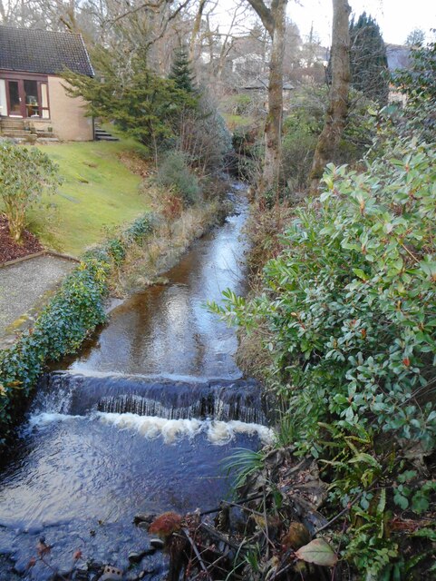
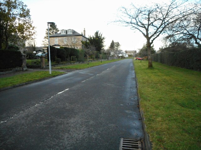
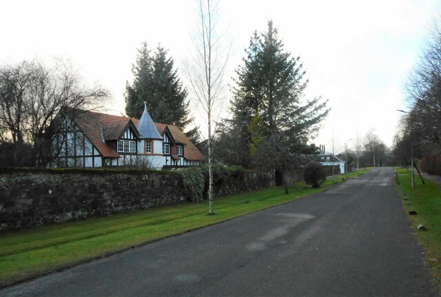
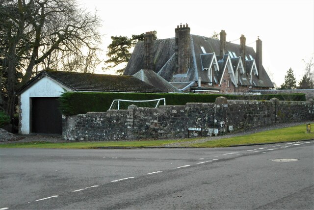
Tor Wood Images
Images are sourced within 2km of 56.015116/-4.7631025 or Grid Reference NS2783. Thanks to Geograph Open Source API. All images are credited.


Tor Wood is located at Grid Ref: NS2783 (Lat: 56.015116, Lng: -4.7631025)
Unitary Authority: Argyll and Bute
Police Authority: Argyll and West Dunbartonshire
What 3 Words
///thrashed.lifeguard.reputable. Near Rhu, Argyll & Bute
Nearby Locations
Related Wikis

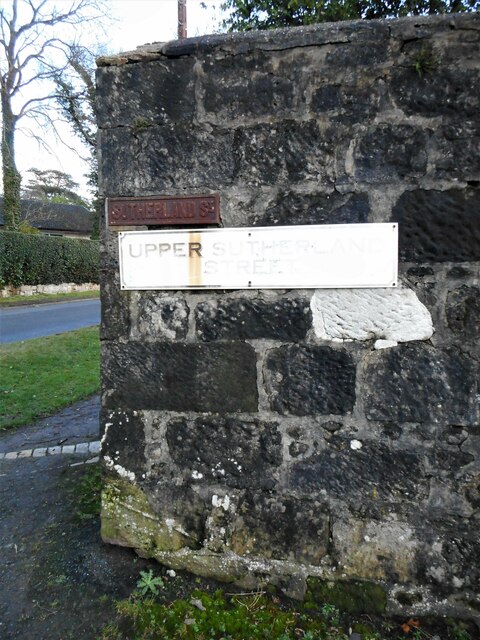
Ardencaple Park
Ardencaple Park was a football ground in Helensburgh, Scotland. It was the home ground of Helensburgh F.C. during their time in the Scottish Football League...
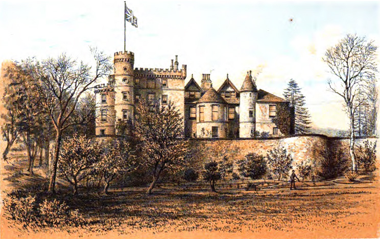
Ardencaple Castle
Ardencaple Castle, also known as Ardincaple Castle, and sometimes referred to as Ardencaple Castle Light, is a listed building, situated about 1 statute...
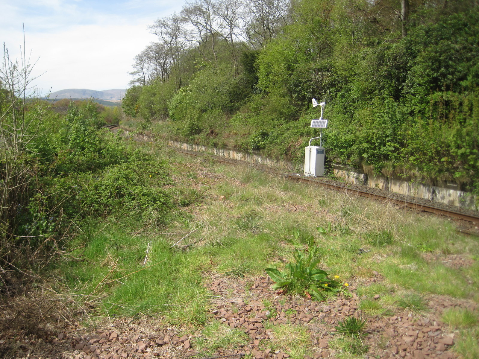
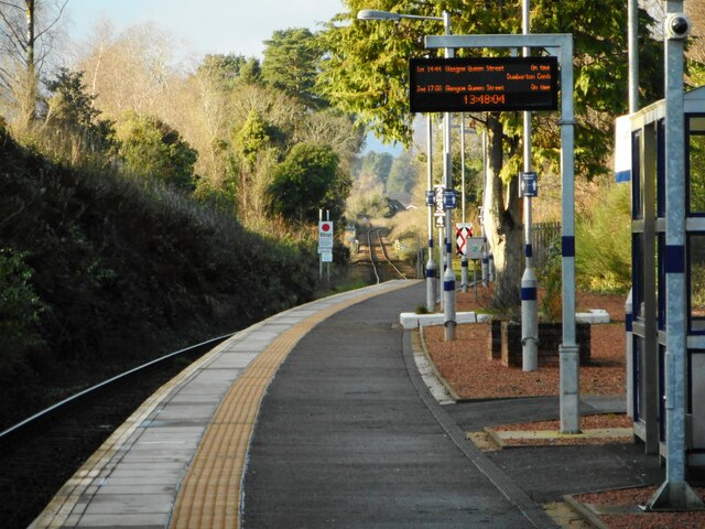
Rhu railway station
Rhu is a closed railway station located in the village of Rhu, in Argyll and Bute, Scotland, on the east shore of Gare Loch. It is located towards the...

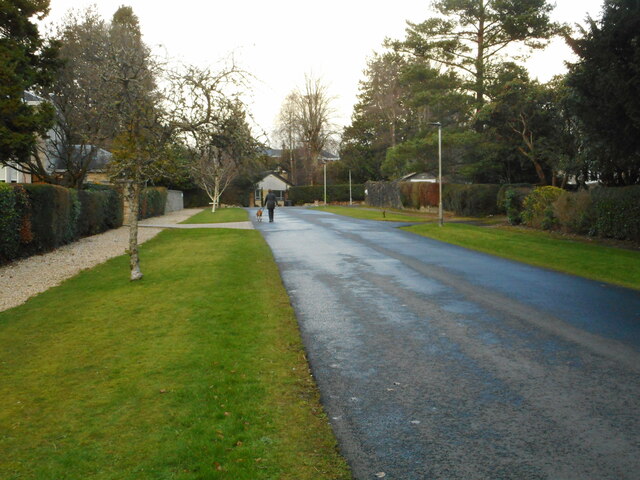
Rhu
Rhu (; Scottish Gaelic: An Rubha [ən ˈrˠu.ə]) is a village and historic parish on the east shore of the Gare Loch in Argyll and Bute, Scotland. The traditional...
Nearby Amenities
Located within 500m of 56.015116,-4.7631025Have you been to Tor Wood?
Leave your review of Tor Wood below (or comments, questions and feedback).