Camps End

Settlement in Cambridgeshire South Cambridgeshire

England

Camps End

Five miles to Haverhill In a south-eastern wedge of Cambridgeshire, on the edges of Essex and Suffolk,
Five miles to Haverhill Credit: John Sutton

Camps End is a small village located in the county of Cambridgeshire, England. Situated in the eastern part of the county, it is nestled amidst picturesque countryside and enjoys a tranquil and idyllic setting. The village is part of the East Cambridgeshire district and is surrounded by other rural communities and farmland.

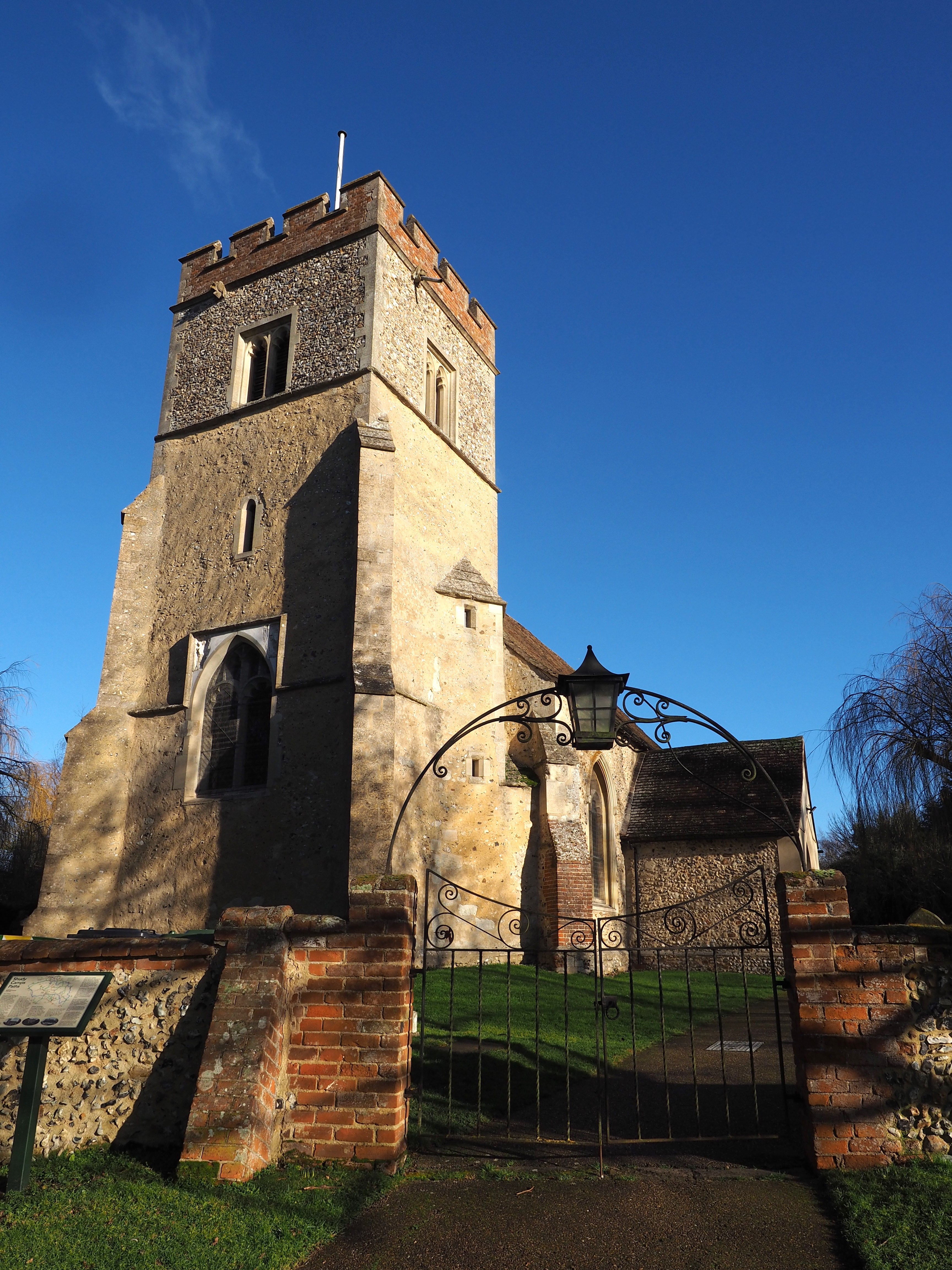
Despite its small size, Camps End boasts a rich history that dates back many centuries. It is believed that the village was originally established as an agricultural settlement during the medieval period, and remnants of this past can still be seen in the form of historic buildings and traditional architecture.

The village itself is characterized by its charming cottages and well-maintained gardens, which add to its overall appeal. The local community is close-knit and friendly, and residents take great pride in maintaining the village's unique character.

Camps End offers a peaceful and serene environment away from the hustle and bustle of city life. Its rural location makes it an ideal destination for those seeking tranquility, with ample opportunities for outdoor activities such as hiking, cycling, and bird-watching in the surrounding countryside.

While the village does not have its own amenities such as shops or schools, it is conveniently located near larger towns and cities, allowing residents to access essential services with ease. Additionally, Camps End benefits from good transport links, making it accessible to both residents and visitors.

Overall, Camps End is a charming and picturesque village that offers a slice of rural English life. Its historical significance, natural beauty, and strong community spirit make it a desirable place to live or visit.

If you have any feedback on the listing, please let us know in the comments section below.
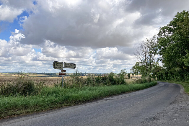
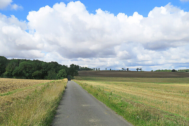
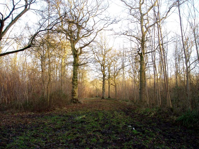
Camps End Images

Images are sourced within 2km of 52.055521/0.353394 or Grid Reference TL6142. Thanks to Geograph Open Source API. All images are credited.

Five miles to Haverhill In a south-eastern wedge of Cambridgeshire, on the edges of Essex and Suffolk,
Five miles to Haverhill
In a south-eastern wedge of Cambridgeshire, on the edges of Essex and Suffolk,
On the way to Steventon End and Ashdon
Riders on a quiet lane The cyclist was making for Steventon End and Ashdon. The riders were heading towards Camps Hall. The sun was briefly behind high cloud, but a minute or so later the view from further up the hill was much brighter: <a href="https://www.geograph.org.uk/photo/7579846">TL6043 : On the way to Steventon End and Ashdon</a>.
Riders on a quiet lane
The cyclist was making for Steventon End and Ashdon. The riders were heading towards Camps Hall. The sun was briefly behind high cloud, but a minute or so later the view from further up the hill was much brighter: TL6043 : On the way to Steventon End and Ashdon.
Sunlight, shadow, woodland and rolling fields A late-August morning of high, fast-moving cloud, bright sunlight and shifting shadows. This is the lane from Camps Hall to Steventon End, in the south-eastern corner of Cambridgeshire.
Sunlight, shadow, woodland and rolling fields
A late-August morning of high, fast-moving cloud, bright sunlight and shifting shadows. This is the lane from Camps Hall to Steventon End, in the south-eastern corner of Cambridgeshire.
Camps Hall to Steventon End The road to Steventon End has just crossed a stream which is one of the easternmost tributaries of the many-stranded eastern arm of the River Cam network.
Camps Hall to Steventon End
The road to Steventon End has just crossed a stream which is one of the easternmost tributaries of the many-stranded eastern arm of the River Cam network.
Road junction at Camps Hall The road ahead, to Bartlow, follows one of the easternmost streams of the many-stranded River Cam, which rises near Castle Camps.
Road junction at Camps Hall
The road ahead, to Bartlow, follows one of the easternmost streams of the many-stranded River Cam, which rises near Castle Camps.
The road to Bartlow in August The road follows a stream which rises near Castle Camps and is one of the easternmost of the many strands of the complex River Cam network.
The road to Bartlow in August
The road follows a stream which rises near Castle Camps and is one of the easternmost of the many strands of the complex River Cam network.
Camps End: left to Bartlow, right to the Bumpsteads The words "Together in The Camps" are incised on the bench.
Camps End: left to Bartlow, right to the Bumpsteads
The words "Together in The Camps" are incised on the bench.
Camps End: Farm Cottage The timber-framed cottage is Grade II listed.
Camps End: Farm Cottage
The timber-framed cottage is Grade II listed.
Camps End: blue on the bend A pleasing timber-framed house with a slate roof.
Camps End: blue on the bend
A pleasing timber-framed house with a slate roof.
Cottages at Camps End On an otherwise sunny morning in late August the sun was briefly behind a scrap of high cloud.
Cottages at Camps End
On an otherwise sunny morning in late August the sun was briefly behind a scrap of high cloud.
Brownings House This Grade II listed timber-framed farmhouse of c 1700 is on a dead-end lane near Camps End, in a south-eastern corner of Cambridgeshire.
Brownings House
This Grade II listed timber-framed farmhouse of c 1700 is on a dead-end lane near Camps End, in a south-eastern corner of Cambridgeshire.
Outside Spindleberry Cottage A bench is kindly provided for the use of elderly cyclists. The fingerpost points along a path which leads eventually to Castle Camps.
Outside Spindleberry Cottage
A bench is kindly provided for the use of elderly cyclists. The fingerpost points along a path which leads eventually to Castle Camps.
Sunlight, shadows and Spindleberry Cottage The sun was in the wrong quarter of the sky for a successful picture of the whole cottage, taken from the road - but I discovered that Jonathan Billinger had photographed it clearly in 2007: <a href="https://www.geograph.org.uk/photo/599020">TL6141 : Spindleberry Cottage</a>.
Sunlight, shadows and Spindleberry Cottage
The sun was in the wrong quarter of the sky for a successful picture of the whole cottage, taken from the road - but I discovered that Jonathan Billinger had photographed it clearly in 2007: TL6141 : Spindleberry Cottage.
At Charlwood Farm The farmhouse is Grade II listed, but not the outbuildings....
At Charlwood Farm
The farmhouse is Grade II listed, but not the outbuildings....
On the byway to Camps End A remote corner of Cambridgeshire on a fine late-August morning.
On the byway to Camps End
A remote corner of Cambridgeshire on a fine late-August morning.
Stubble, bales and sky A remote part of south-east Cambridgeshire on a fine late-August morning.
Stubble, bales and sky
A remote part of south-east Cambridgeshire on a fine late-August morning.
Lane, mast and fingerpost Public paths - part of a dense network in these remote parts - from Red Oaks Hill (left) to Drapers Green cross the lane from Olmstead Green to Castle Camps and Camps End.
Lane, mast and fingerpost
Public paths - part of a dense network in these remote parts - from Red Oaks Hill (left) to Drapers Green cross the lane from Olmstead Green to Castle Camps and Camps End.
Show me another place!

Camps End is located at Grid Ref: TL6142 (Lat: 52.055521, Lng: 0.353394)

Administrative County: Cambridgeshire

District: South Cambridgeshire

Police Authority: Cambridgeshire

What 3 Words

///dragonfly.penned.prestige. Near Haverhill, Suffolk

Nearby Locations

Camps End

Related Wikis

Langley Wood, Cambridgeshire

Langley Wood is a 31.6-hectare (78-acre) biological Site of Special Scientific Interest in Cambridgeshire, but lying between Saffron Walden in Essex and...

Shudy Camps

Shudy Camps is a village in the south-east corner of Cambridgeshire, England, near the border of Essex and Suffolk, and is part of the Chilford Hundred...

Castle Camps

Castle Camps was a Norman Castle located in what is now the civil parish of Castle Camps, Cambridgeshire. == Owners == Castle Camps was originally a Saxon...

RAF Castle Camps

RAF Castle Camps was listed as being in Cambridgeshire as it is close to its namesake Cambridgeshire village. It is very near the Suffolk border and the...

Nearby Amenities

Located within 500m of 52.055521,0.353394
Post Box
Collection Times: Mo-Fr 16:00; Sa 10:45
Operator: Royal Mail
Post Box Type: lamp
Ref: CB21 257
Royal Cypher: EIIR
Royal Cypher Wikidata: Q33102113
Source: survey
Lat/Long: 52.0554502/0.3511374
Parkins Farm
Landuse: farm
Note Retag: CS #48756035
Lat/Long: 52.0528403/0.3541033
Power: pole
Lat/Long: 52.0548096/0.3550333
Power: pole
Lat/Long: 52.0573634/0.3557284
Power: pole
Lat/Long: 52.0581646/0.3549066
Power: pole
Lat/Long: 52.0560498/0.3581125
Power: pole
Lat/Long: 52.059071/0.3539866
Power: pole
Lat/Long: 52.0594668/0.3539037
Power: pole
Lat/Long: 52.055742/0.3573482
Power: pole
Lat/Long: 52.0564853/0.359172
Crossing
Lat/Long: 52.0548295/0.3506402
The data included in this document is from www.openstreetmap.org. The data is made available under ODbL.

Have you been to Camps End?

Leave your review of Camps End below (or comments, questions and feedback).