Camps Heath
Settlement in Suffolk East Suffolk
England
Camps Heath
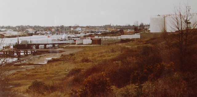
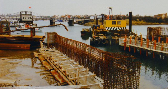
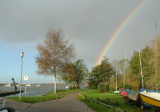
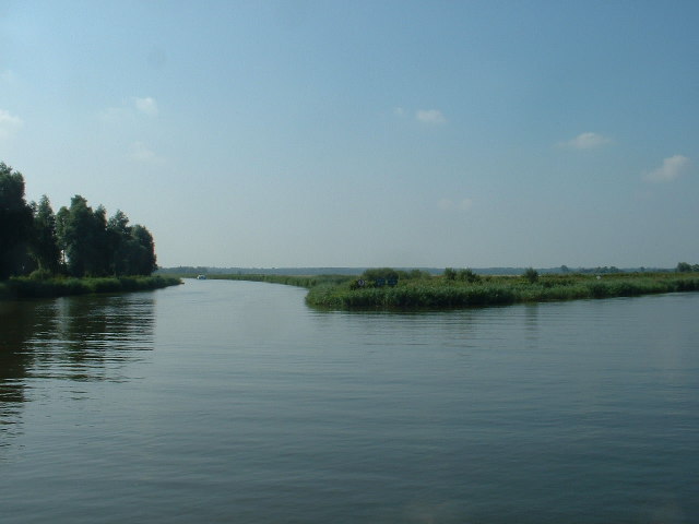
Camps Heath is a small village located in the Waveney district of Suffolk, England. Situated on the eastern banks of the River Waveney, the village offers picturesque views of the surrounding countryside and is known for its tranquility and natural beauty.
The area is historically significant, with evidence of human habitation dating back to the Bronze Age. The village takes its name from the nearby Camps Heath, an important military site during World War II. It served as an anti-aircraft artillery training ground and played a crucial role in defending the region against enemy attacks.
Today, Camps Heath is a thriving residential community with a close-knit population. The village features a mix of traditional and modern houses, and amenities such as a local pub, village hall, and a primary school which serves the surrounding area.
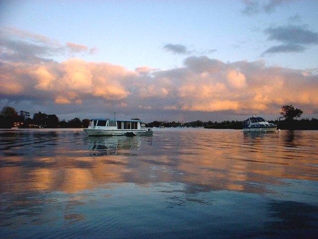
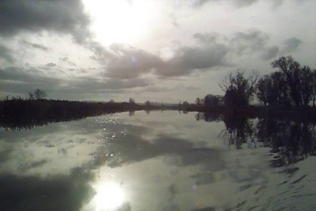
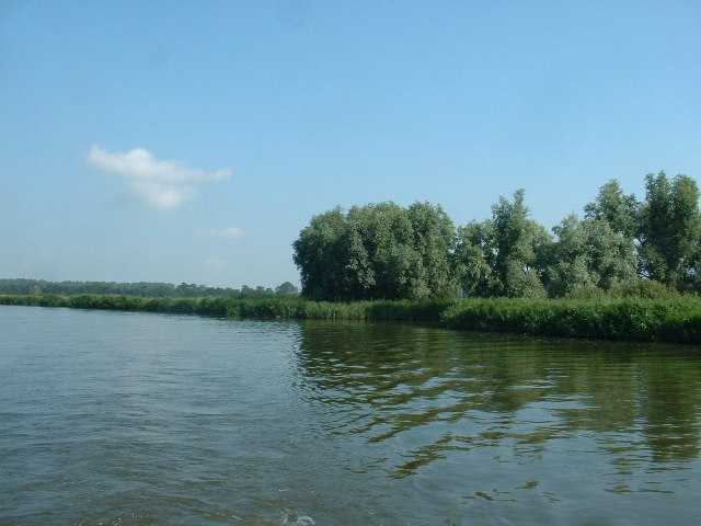
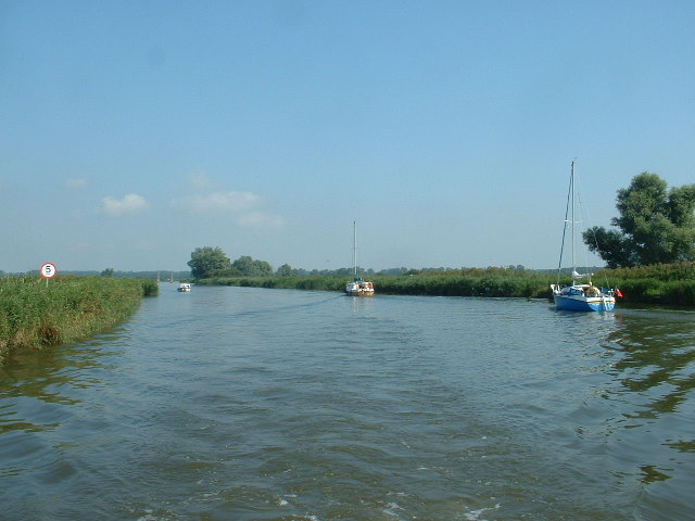
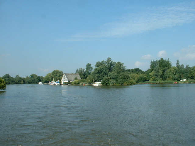
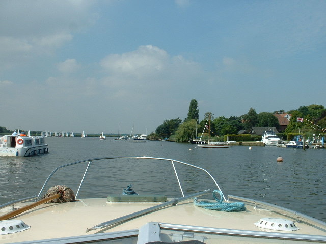
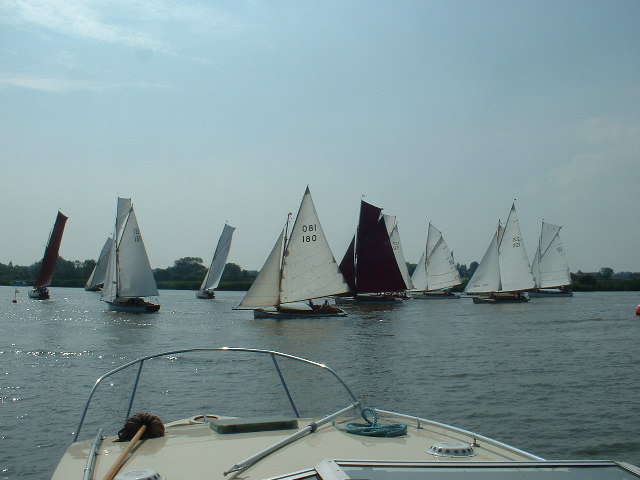
Nature enthusiasts are drawn to Camps Heath for its idyllic setting. The nearby Norfolk Broads, an internationally renowned wetland area, provides opportunities for boating, birdwatching, and leisurely walks along the riverbanks. The village also boasts numerous walking and cycling trails, allowing residents and visitors to explore the stunning countryside and enjoy the fresh air.
Camps Heath offers a peaceful and scenic retreat away from the hustle and bustle of city life. With its rich history, beautiful surroundings, and welcoming community, it is a hidden gem in the heart of Suffolk.
If you have any feedback on the listing, please let us know in the comments section below.
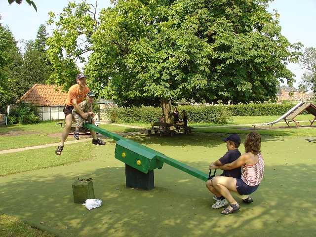
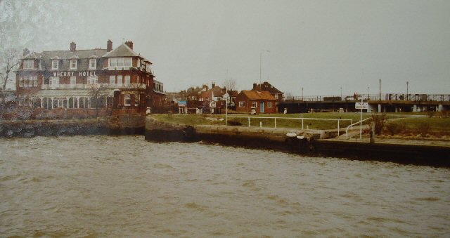
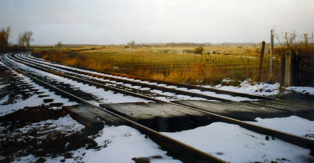
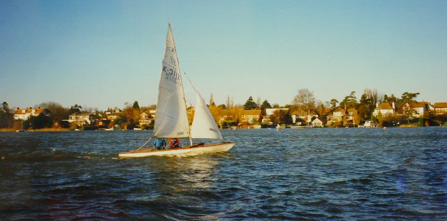
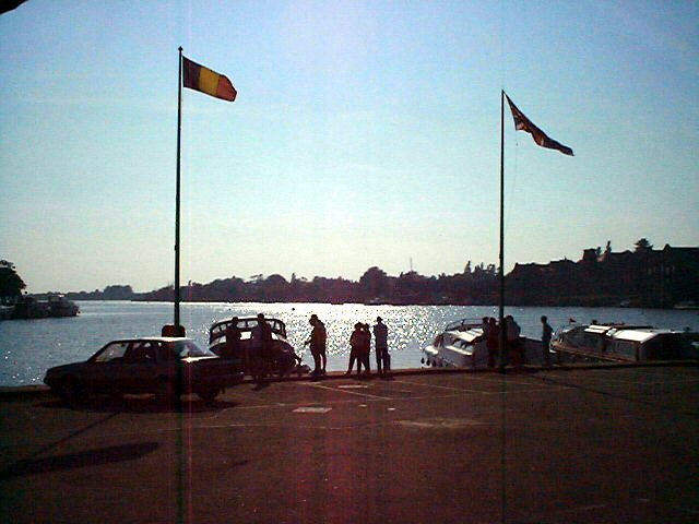
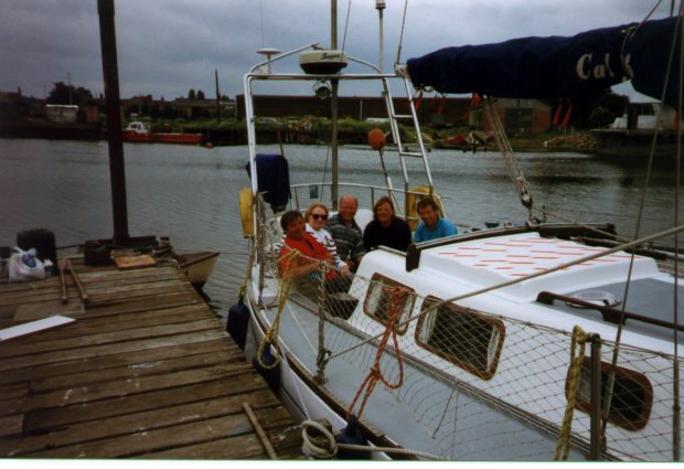
Camps Heath Images
Images are sourced within 2km of 52.486909/1.69813 or Grid Reference TM5194. Thanks to Geograph Open Source API. All images are credited.
![Converted Brewery, Oulton Broad Now [presumably] expensive apartments.](https://s0.geograph.org.uk/photos/11/56/115620_5079557c.jpg)
Camps Heath is located at Grid Ref: TM5194 (Lat: 52.486909, Lng: 1.69813)
Administrative County: Suffolk
District: East Suffolk
Police Authority: Suffolk
What 3 Words
///forgotten.outwit.contain. Near Lowestoft, Suffolk
Nearby Locations
Related Wikis

Oulton, Suffolk
Oulton is a civil parish on the western edge of the town of Lowestoft in the north of the English county of Suffolk. It is in the East Suffolk district...

South Broads Lifeboat Station
South Broads Lifeboat Station was an RNLI operated lifeboat station located on Oulton Broad in the town of Lowestoft in the English county of Suffolk....
Mutford and Lothingland Hundred
Mutford and Lothingland was a hundred of Suffolk, with an area of 33,368 acres (135.04 km2). Lowestoft Ness, the most easterly point of Great Britain fell...

Mutford and Lothingland Rural District
Mutford and Lothingland Rural District was a rural district within the administrative county of East Suffolk between 1894 and 1934. It was created out...
Nearby Amenities
Located within 500m of 52.486909,1.69813Have you been to Camps Heath?
Leave your review of Camps Heath below (or comments, questions and feedback).