Auchenhary Wood
Wood, Forest in Ayrshire
Scotland
Auchenhary Wood

Auchenhary Wood is a picturesque woodland located in Ayrshire, Scotland. Covering an area of approximately 50 hectares, this forest is a haven for nature lovers and outdoor enthusiasts. It is situated near the village of Ochiltree and is easily accessible from the nearby towns of Ayr and Kilmarnock.
The wood is predominantly composed of native broadleaf trees, including oak, birch, and beech, which create a diverse and vibrant habitat for a wide range of flora and fauna. Bluebells carpet the forest floor in spring, while ferns and mosses thrive in the damp conditions provided by the nearby river.
Auchenhary Wood offers several well-maintained walking trails, providing visitors with the opportunity to explore this enchanting woodland. The paths wind through the trees, offering glimpses of wildlife such as red squirrels, roe deer, and a variety of bird species. The forest is also home to a number of rare and protected species, including the great crested newt and the red-listed lesser butterfly orchid.
In addition to its natural beauty, Auchenhary Wood is steeped in history. The remains of an old ironworks can be found within the forest, serving as a reminder of its industrial past. Interpretive signs along the trails provide information about the area's historical significance and the role it played in the local community.
Overall, Auchenhary Wood is a stunning woodland that offers a peaceful escape from the hustle and bustle of everyday life. Whether it's a leisurely stroll, birdwatching, or simply enjoying the tranquility of nature, this forest has something to offer for everyone.
If you have any feedback on the listing, please let us know in the comments section below.
Auchenhary Wood Images
Images are sourced within 2km of 55.766705/-4.8360099 or Grid Reference NS2256. Thanks to Geograph Open Source API. All images are credited.


Auchenhary Wood is located at Grid Ref: NS2256 (Lat: 55.766705, Lng: -4.8360099)
Unitary Authority: North Ayrshire
Police Authority: Ayrshire
What 3 Words
///taller.factored.dress. Near Fairlie, North Ayrshire
Nearby Locations
Related Wikis

Kelburn Castle
Kelburn Castle is a large house near Fairlie, North Ayrshire, Scotland. It is the seat of the Earl of Glasgow. Originally built in the thirteenth century...
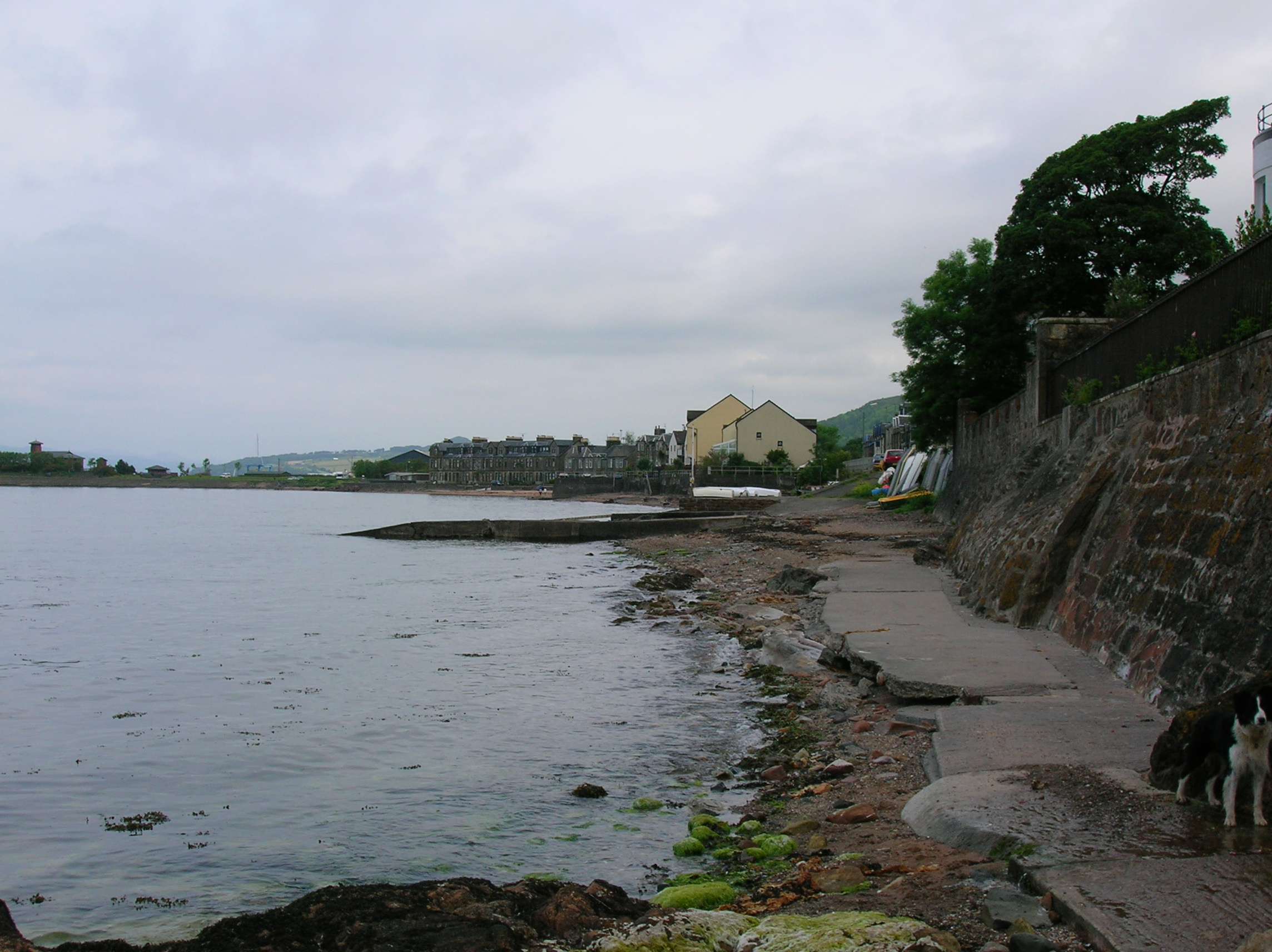
Fairlie, North Ayrshire
Fairlie is a village in North Ayrshire, Scotland. == Location and status == Fairlie sits on the eastern shore of the Firth of Clyde and looks across to...

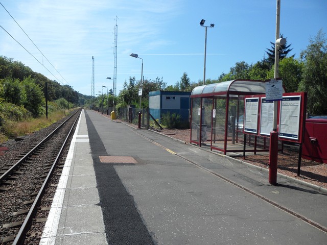
Fairlie Pier railway station
Fairlie Pier railway station was a railway station serving the village of Fairlie, North Ayrshire, Scotland. The station allowed train passengers to link...
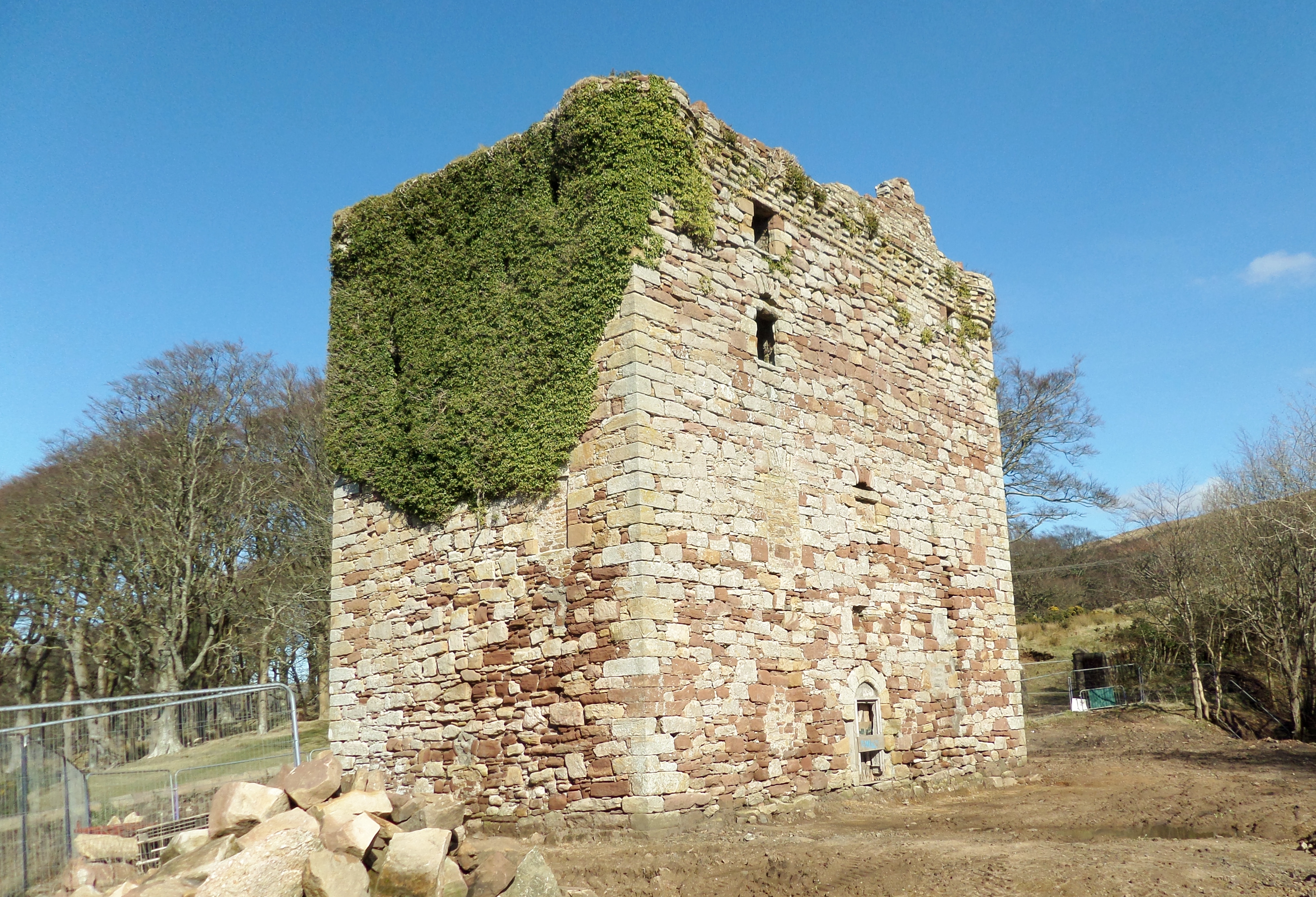
Fairlie Castle
Fairlie Castle is a restored oblong tower castle located on a natural rounded knoll situated above a precipitous section of the Fairlie Glen near the town...
Nearby Amenities
Located within 500m of 55.766705,-4.8360099Have you been to Auchenhary Wood?
Leave your review of Auchenhary Wood below (or comments, questions and feedback).