Auchenhary Hill

Hill, Mountain in Ayrshire

Scotland

Auchenhary Hill

Looking towards Lairdside hill
Looking towards Lairdside hill Credit: Gavin Ferguson

Auchenhary Hill is a prominent geographical feature located in Ayrshire, Scotland. Standing at an elevation of 246 meters (807 feet), it is classified as a hill rather than a mountain. Situated near the town of Cumnock, Auchenhary Hill is a distinctive landmark in the region.

The hill boasts a picturesque landscape, offering panoramic views of the surrounding countryside. Its slopes are predominantly covered in grass, providing a lush green appearance throughout the year. The hill is also adorned with scattered trees and shrubs, adding to its natural beauty.

Auchenhary Hill is a popular destination for outdoor enthusiasts, attracting hikers, walkers, and nature lovers alike. Several footpaths and trails crisscross its terrain, allowing visitors to explore its slopes and enjoy the breathtaking vistas. The hill offers a moderate challenge for those seeking a good workout while immersing themselves in the tranquility of the Scottish countryside.

Rich in biodiversity, Auchenhary Hill is home to a variety of plant and animal species. The hill supports a diverse range of wildflowers, including heather, bluebells, and primroses, which bloom during different seasons. Birdwatchers can spot various avian species such as buzzards, kestrels, and pheasants soaring above the hill.

Overall, Auchenhary Hill offers a delightful experience for outdoor enthusiasts, providing a perfect blend of natural beauty, recreational opportunities, and tranquility in the heart of Ayrshire.

If you have any feedback on the listing, please let us know in the comments section below.

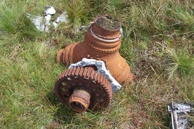
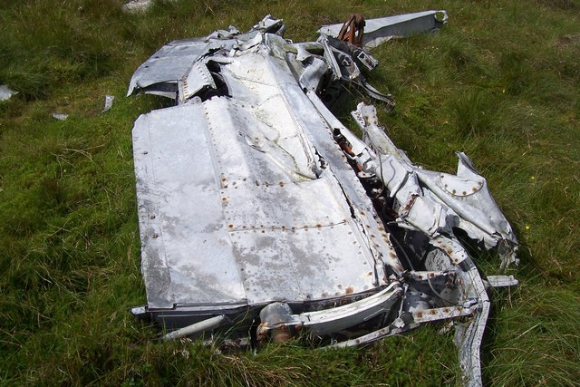
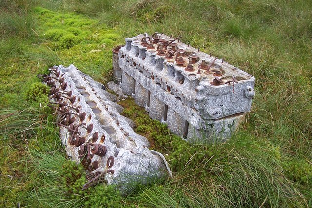
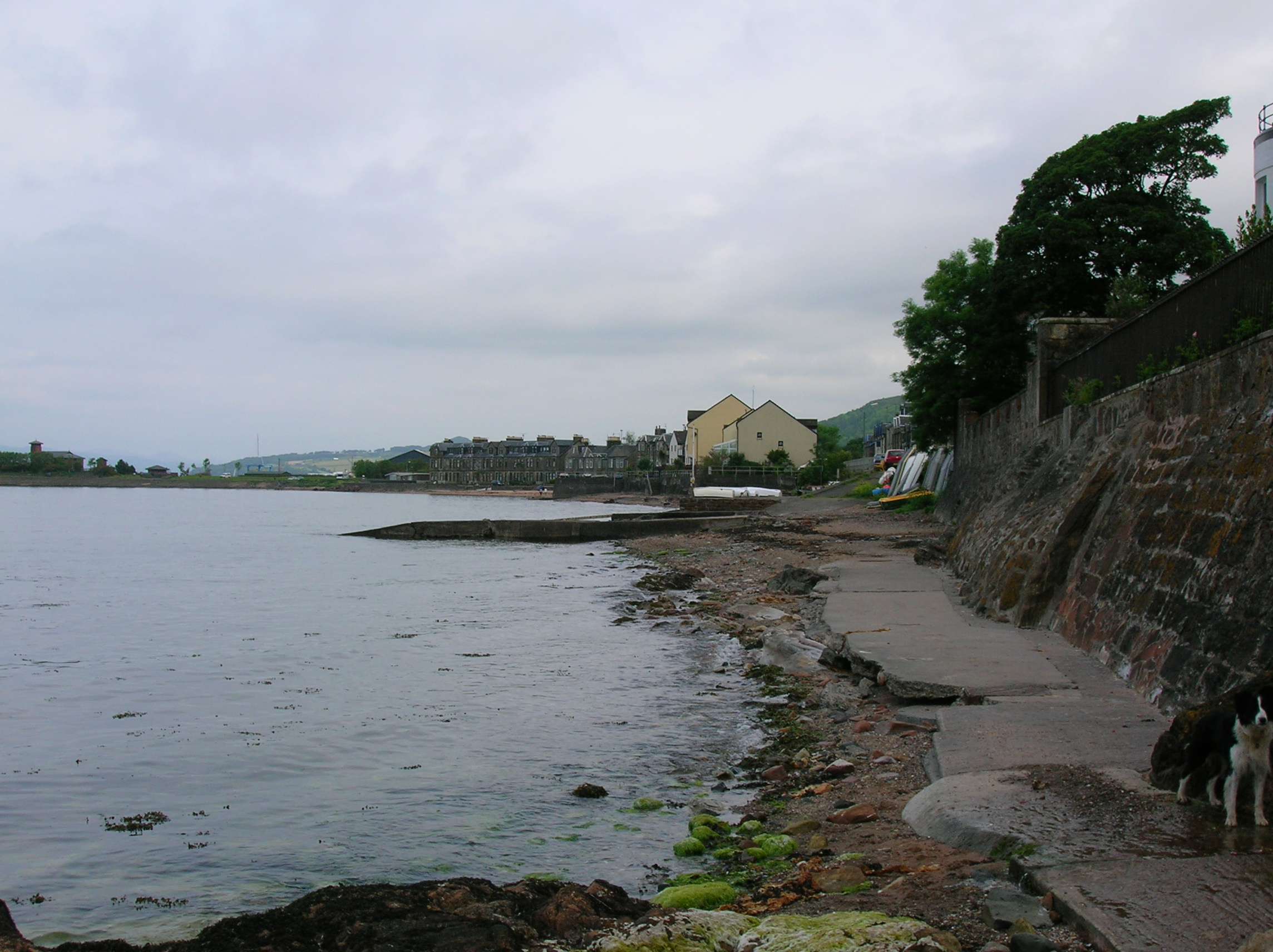
Auchenhary Hill Images

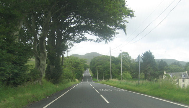
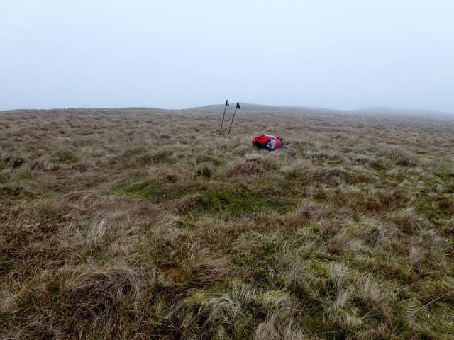
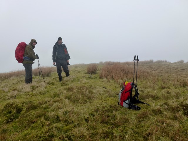
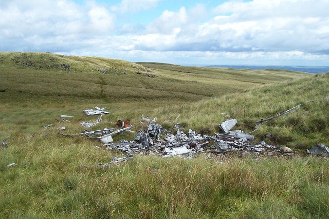
Images are sourced within 2km of 55.765228/-4.8287437 or Grid Reference NS2256. Thanks to Geograph Open Source API. All images are credited.

Looking towards Lairdside hill
Big tree, little pond A fine specimen of a sycamore in a Fairlie garden.
Big tree, little pond
A fine specimen of a sycamore in a Fairlie garden.
Through the centre of Fairlie
A78 approaching church at Fairlie
Junction for Kelburn Country Centre
A760 south of Haylie Reservoir
A760 approaching Recycling Centre
A760 by Fir Park Plantation
A760 bend near Fechan
Fechan from A760
Fechan from A760
The Holy Grail The picture was taken in the Secret Forest, in the estate of Kelburn Castle.
The Holy Grail
The picture was taken in the Secret Forest, in the estate of Kelburn Castle.
Blaeloch Hill Done with Bob, Adrian & Mark after Wee Cumbrae. Started in good visibility however this did not last but bagged Brown Hill, a P30 on way down in the drizzly mist.

Name: Blaeloch Hill
Hill number: 1685
Height: 407m / 1335ft
Area: 27A: Ayr to the River Clyde
Class: Ma
Grid ref: NS 24329 55317
Summit feature: no feature
Drop: 185m
Col: 222m  NS240574
Blaeloch Hill
Done with Bob, Adrian & Mark after Wee Cumbrae. Started in good visibility however this did not last but bagged Brown Hill, a P30 on way down in the drizzly mist. Name: Blaeloch Hill Hill number: 1685 Height: 407m / 1335ft Area: 27A: Ayr to the River Clyde Class: Ma Grid ref: NS 24329 55317 Summit feature: no feature Drop: 185m Col: 222m NS240574
Brown Hill Bagged Brown Hill a P30 with Adrian and Mark after Blaeloch Hill, with Bob Taylor preferring to descend via windfarm access track.
Brown Hill
Bagged Brown Hill a P30 with Adrian and Mark after Blaeloch Hill, with Bob Taylor preferring to descend via windfarm access track.
Fairey Firefly Remains On Blaeloch Hill A view of the main bulk of the debris with Blaeloch Hill summit in the distance to the left.
Fairey Firefly Remains On Blaeloch Hill
A view of the main bulk of the debris with Blaeloch Hill summit in the distance to the left.
Fairey Firefly Propeller Hub The propeller hub and reduction gear from the Firefly.
Fairey Firefly Propeller Hub
The propeller hub and reduction gear from the Firefly.
Fairey Firefly Wing Section Firefly remains on Blaeloch Hill.
Fairey Firefly Wing Section
Firefly remains on Blaeloch Hill.
A Fairey Firefly's Rolls-Royce Griffon Engine Corroding remains of the RR Griffon engine are sinking into the peaty soil.
A Fairey Firefly's Rolls-Royce Griffon Engine
Corroding remains of the RR Griffon engine are sinking into the peaty soil.
Main Road, Fairlie
Main Road, Fairlie
Show me another place!

Auchenhary Hill is located at Grid Ref: NS2256 (Lat: 55.765228, Lng: -4.8287437)

Unitary Authority: North Ayrshire

Police Authority: Ayrshire

What 3 Words

///likewise.niece.dated. Near Fairlie, North Ayrshire

Related Wikis

Kelburn Castle

Kelburn Castle is a large house near Fairlie, North Ayrshire, Scotland. It is the seat of the Earl of Glasgow. Originally built in the thirteenth century...

Fairlie, North Ayrshire

Fairlie is a village in North Ayrshire, Scotland. == Location and status == Fairlie sits on the eastern shore of the Firth of Clyde and looks across to...
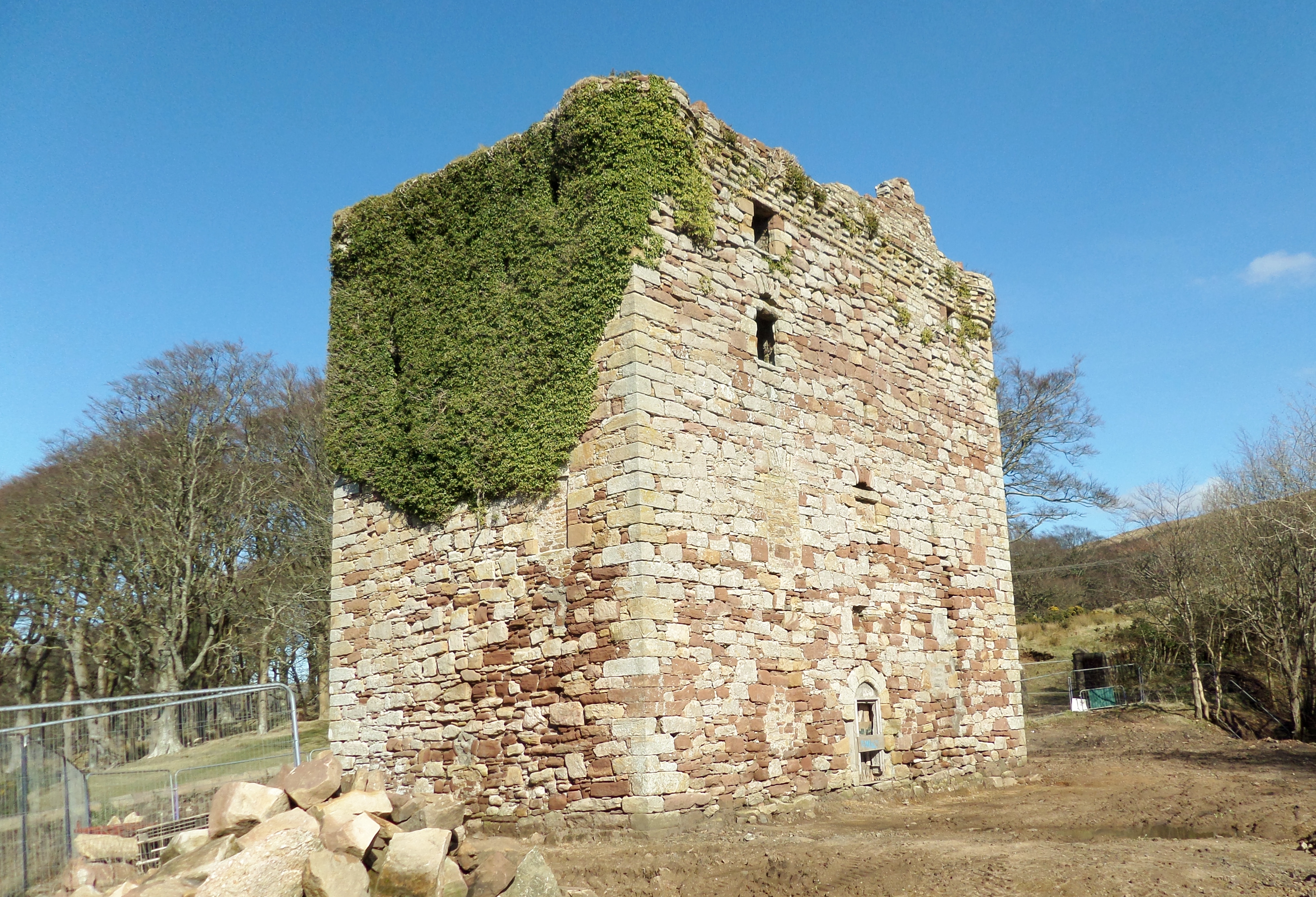
Fairlie Castle

Fairlie Castle is a restored oblong tower castle located on a natural rounded knoll situated above a precipitous section of the Fairlie Glen near the town...

Fairlie Pier railway station

Fairlie Pier railway station was a railway station serving the village of Fairlie, North Ayrshire, Scotland. The station allowed train passengers to link...

Nearby Amenities

Located within 500m of 55.765228,-4.8287437
Power: pole
Lat/Long: 55.7678696/-4.8323557
Power: pole
Lat/Long: 55.7673885/-4.8335494
Power: pole
Lat/Long: 55.7668413/-4.8348698
Power: pole
Lat/Long: 55.7696338/-4.8279795
Power: pole
Lat/Long: 55.7661351/-4.8351522
Power: pole
Lat/Long: 55.7692845/-4.8288454
Power: pole
Lat/Long: 55.7654468/-4.835422
Power: pole
Lat/Long: 55.7688754/-4.8298602
Power: pole
Lat/Long: 55.7683775/-4.8310957
Power: pole
Lat/Long: 55.7647436/-4.835722
Power: pole
Lat/Long: 55.7639554/-4.8360223
Ward Hill
Natural: peak
Lat/Long: 55.7672089/-4.8253903
Auchenhary Hill
Natural: peak
Lat/Long: 55.7657496/-4.8294236
Whatside Hills
Natural: peak
Lat/Long: 55.7627418/-4.8243147
The data included in this document is from www.openstreetmap.org. The data is made available under ODbL.

Have you been to Auchenhary Hill?

Leave your review of Auchenhary Hill below (or comments, questions and feedback).