Allan Wood
Wood, Forest in Ayrshire
Scotland
Allan Wood
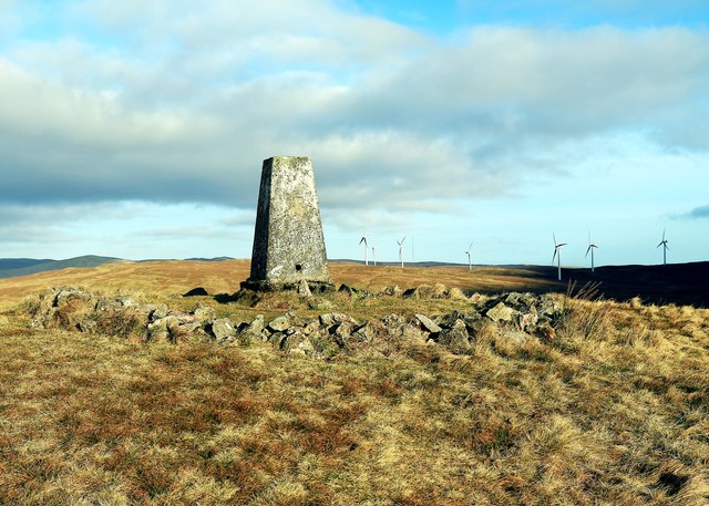
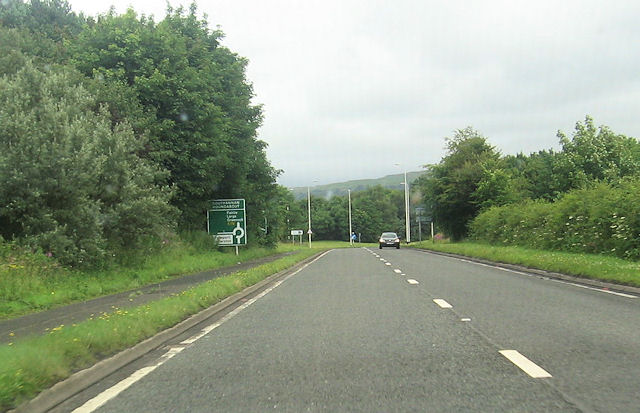
Allan Wood is a small woodland located in Ayrshire, Scotland. Situated near the town of Ayr, it covers an area of approximately 50 acres. The woodland is predominantly composed of native tree species such as oak, birch, and beech, creating a diverse and vibrant ecosystem.
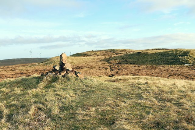
The Wood is a popular destination for nature enthusiasts, hikers, and birdwatchers. Its well-maintained paths and trails offer visitors the opportunity to explore the woodland's natural beauty and discover its hidden treasures. The area is home to a variety of wildlife, including red squirrels, roe deer, and a wide range of bird species.
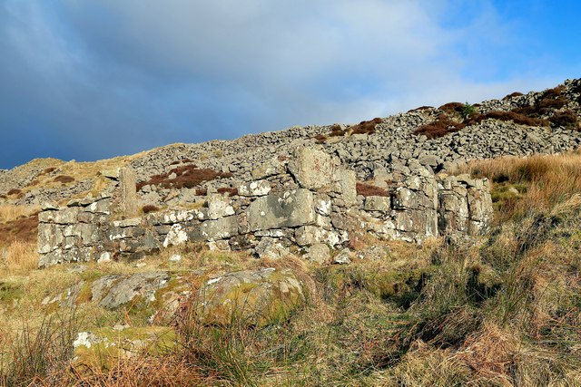
Allan Wood has a rich history, dating back centuries. The woodland has been used for timber production in the past, and remnants of old saw pits and charcoal platforms can still be found within its boundaries. The wood also played a role in local folklore and traditional practices.
In recent years, Allan Wood has become a protected area, managed by a local conservation group. The group works to maintain the delicate balance of the ecosystem, ensuring the preservation of its biodiversity. They also organize educational programs and guided tours to raise awareness about the importance of woodland conservation.
Whether you're seeking tranquility in nature, interested in local history, or simply looking to enjoy a leisurely stroll, Allan Wood offers something for everyone. Its picturesque scenery and abundant wildlife make it a must-visit destination for nature lovers in Ayrshire.
If you have any feedback on the listing, please let us know in the comments section below.
Allan Wood Images
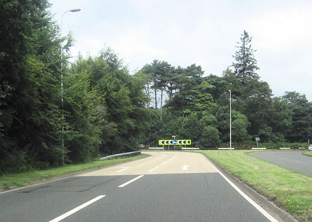
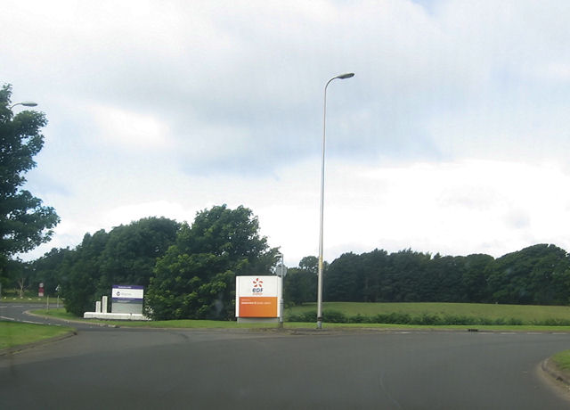
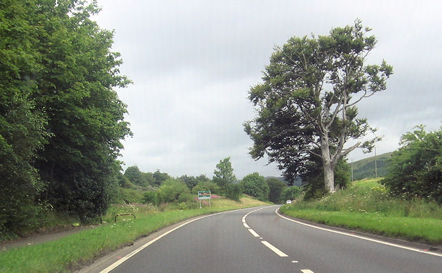
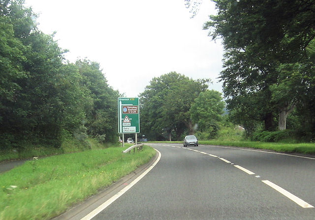
Images are sourced within 2km of 55.737904/-4.855397 or Grid Reference NS2053. Thanks to Geograph Open Source API. All images are credited.

Allan Wood is located at Grid Ref: NS2053 (Lat: 55.737904, Lng: -4.855397)
Unitary Authority: North Ayrshire
Police Authority: Ayrshire
What 3 Words
///gradually.flickers.upwards. Near Fairlie, North Ayrshire
Nearby Locations
Related Wikis
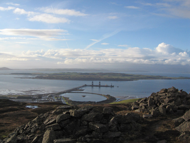
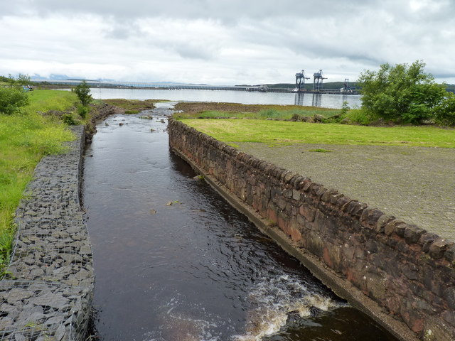
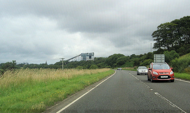
Hunterston Terminal
Hunterston Terminal, in North Ayrshire, Scotland, was an iron ore and coal-handling port located at Fairlie on the Firth of Clyde, operated by Clydeport...

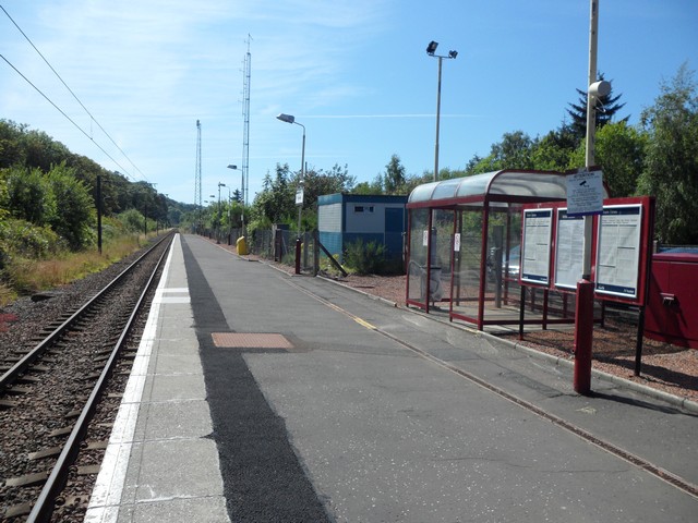
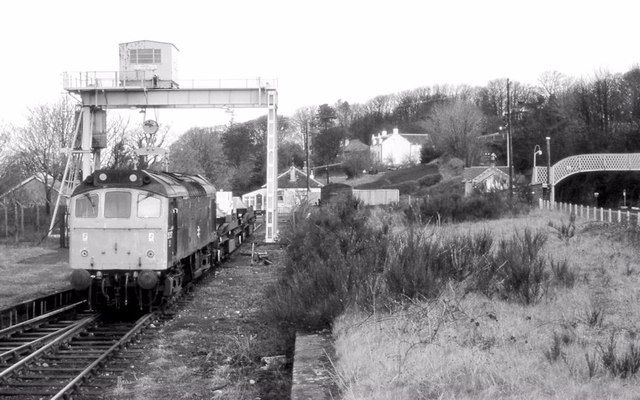
Fairlie railway station
Fairlie railway station serves the village of Fairlie, North Ayrshire, Scotland. The station is managed by ScotRail and is on the Ayrshire Coast Line....
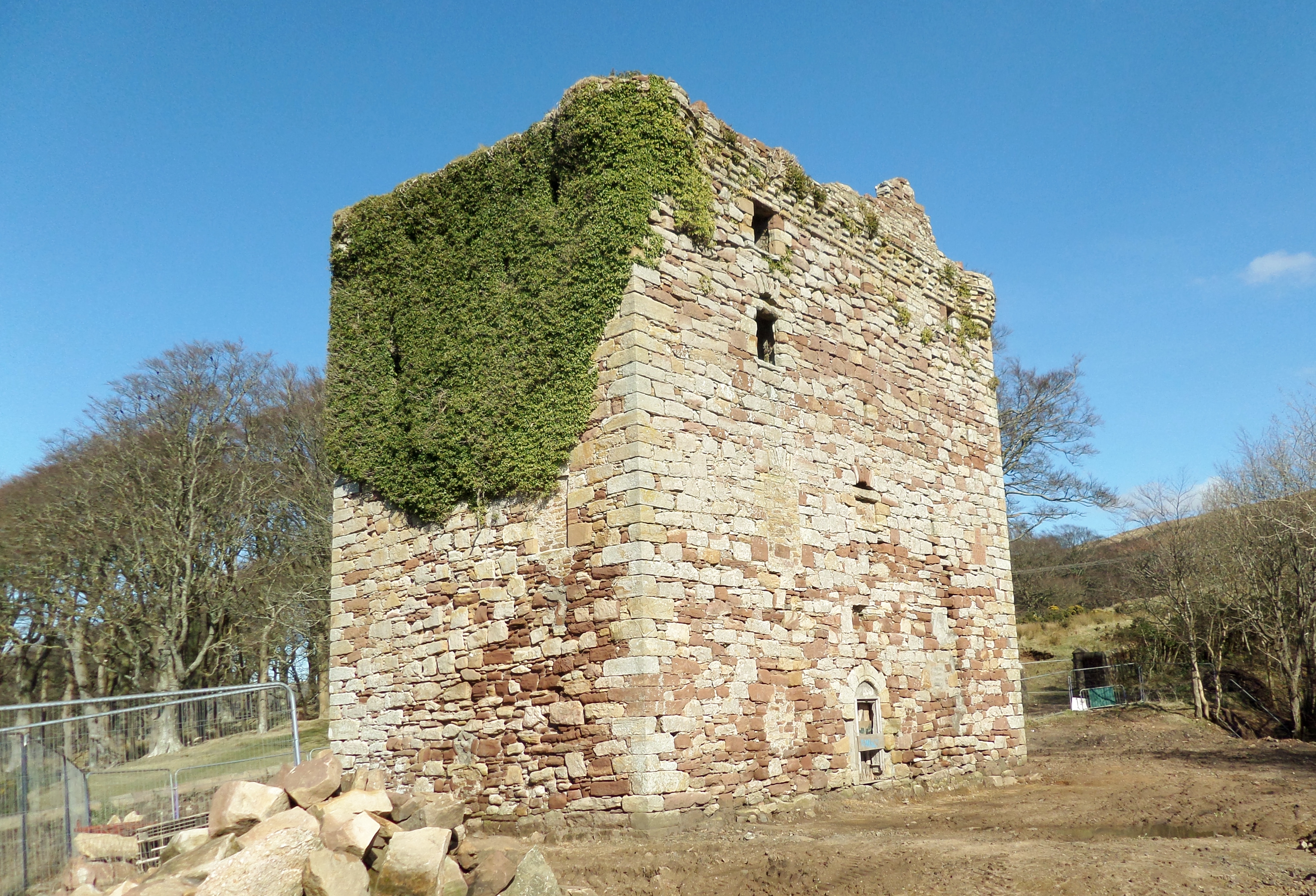
Fairlie Castle
Fairlie Castle is a restored oblong tower castle located on a natural rounded knoll situated above a precipitous section of the Fairlie Glen near the town...

Hunterston
Hunterston, by the Firth of Clyde, is a coastal area in Ayrshire, Scotland. It is the seat and estate of the Hunter family. As an area of flat land adjacent...
Nearby Amenities
Located within 500m of 55.737904,-4.855397Have you been to Allan Wood?
Leave your review of Allan Wood below (or comments, questions and feedback).