Strathbran Plantation
Wood, Forest in Ross-shire
Scotland
Strathbran Plantation

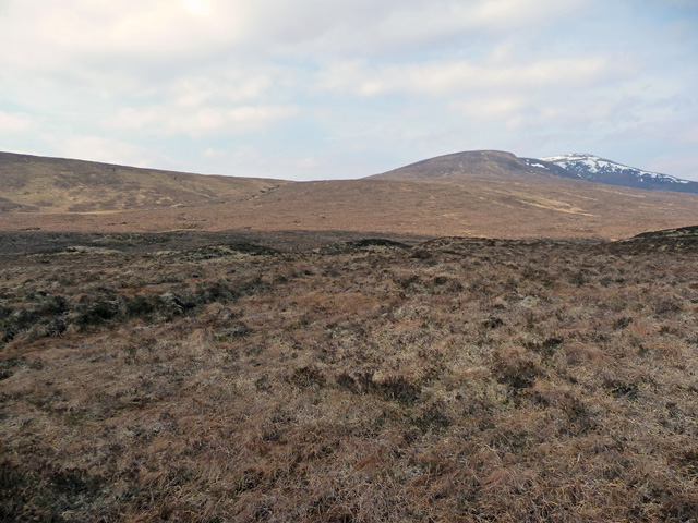
Strathbran Plantation is a picturesque woodland located in Ross-shire, Scotland. Covering an extensive area, the plantation is known for its lush greenery and diverse range of tree species. Situated in the beautiful Strathbran Valley, the woodland offers a tranquil and serene environment, making it a popular destination for nature enthusiasts and hikers.
The plantation boasts a rich history, dating back several centuries. Originally established as a timber resource for local communities, Strathbran Plantation has evolved into a thriving forest ecosystem. The forestry management practices employed in the plantation ensure the sustainable growth and maintenance of the woodland.
Within the plantation, visitors can explore numerous walking trails that wind through the dense forest. These pathways offer breathtaking views of the surrounding landscape, with glimpses of the nearby mountains and the River Bran. The diverse range of tree species, including native Scots pine, oak, and birch, create a vibrant and colorful atmosphere throughout the year.
Wildlife is abundant in Strathbran Plantation, providing a haven for various species. Visitors may encounter red deer, roe deer, and a variety of bird species, including owls, woodpeckers, and finches. The woodland also supports a diverse range of flora, including ferns, wildflowers, and mosses, further enhancing its natural beauty.
Whether visitors are seeking a peaceful retreat, a chance to connect with nature, or simply a place to unwind and enjoy the outdoors, Strathbran Plantation offers an idyllic setting. Its natural beauty, rich history, and diverse ecosystems make it a truly remarkable destination in Ross-shire.
If you have any feedback on the listing, please let us know in the comments section below.
Strathbran Plantation Images
Images are sourced within 2km of 57.601534/-4.9993904 or Grid Reference NH2060. Thanks to Geograph Open Source API. All images are credited.


Strathbran Plantation is located at Grid Ref: NH2060 (Lat: 57.601534, Lng: -4.9993904)
Unitary Authority: Highland
Police Authority: Highlands and Islands
What 3 Words
///defaults.fevered.reviews. Near Achnasheen, Highland
Nearby Locations
Related Wikis

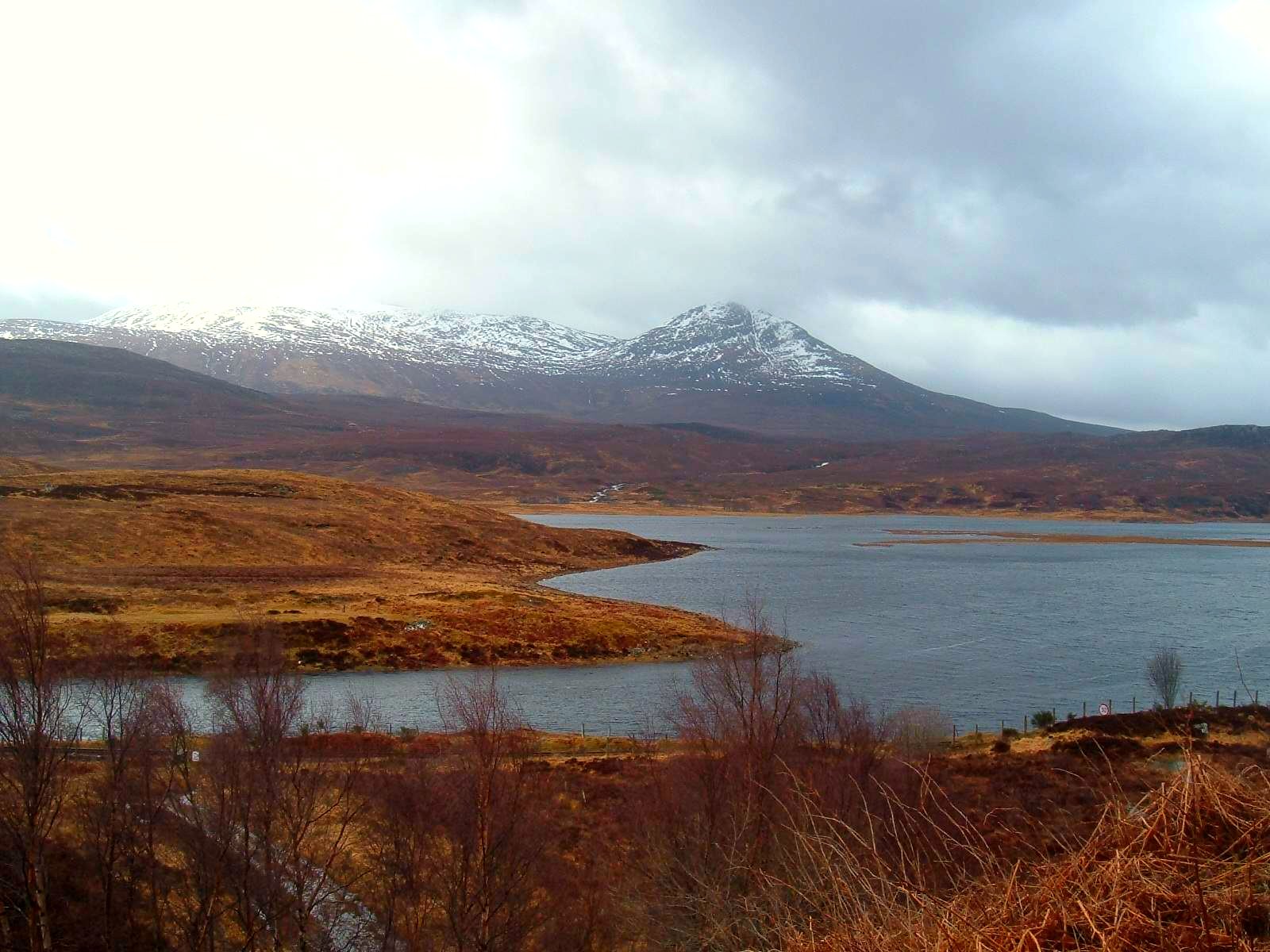
Loch Fannich
Loch Fannich is a remote loch in Ross-shire, in Scotland. The loch is located 19 kilometres (12 mi) west of Strathpeffer. == Etymology == The name Fannich...
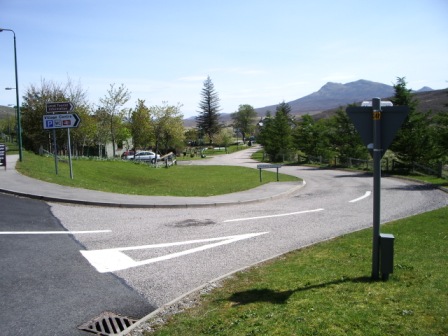
Achnasheen
Achnasheen (Gaelic Achadh na Sìne) is a small village in Ross-shire in the Highland council area of Scotland. The village is situated on the River Bran...

Achnasheen railway station
Achnasheen railway station is a remote railway station on the Kyle of Lochalsh Line, serving the village of Achnasheen in the north of Scotland. The station...
Achanalt
Achanalt (Gaelic: Achadh nan Allt) is a railway halt in Strath Bran, Ross and Cromarty, in the Scottish council area of Highland. It is served by a railway...
Nearby Amenities
Located within 500m of 57.601534,-4.9993904Have you been to Strathbran Plantation?
Leave your review of Strathbran Plantation below (or comments, questions and feedback).