Underbank Wood
Wood, Forest in Ayrshire
Scotland
Underbank Wood
Underbank Wood is a picturesque woodland located in Ayrshire, Scotland. Spanning an area of approximately 100 acres, it is a popular destination for nature lovers and outdoor enthusiasts. The wood is situated on the outskirts of the small village of Underbank, surrounded by rolling hills and stunning countryside.
The wood is predominantly made up of native trees such as oak, birch, and beech, creating a diverse and vibrant ecosystem. The dense canopy provides shelter for a variety of wildlife, including birds, small mammals, and insects. Nature enthusiasts can explore the wood on the well-maintained walking trails that wind through the trees, offering breathtaking views of the surrounding landscape.
One of the highlights of Underbank Wood is the presence of a small river that runs through the heart of the forest. The tranquil sound of flowing water adds to the peaceful ambiance of the wood and provides a habitat for aquatic species. Visitors can enjoy picnicking by the riverbank or simply relax and take in the natural beauty of the surroundings.
Underbank Wood is a haven for birdwatchers, with numerous species of birds making their home in the area. Birdsong fills the air, creating a symphony of natural sounds that enhance the overall experience. Wildlife enthusiasts may also spot deer, foxes, and rabbits as they explore the wood.
Overall, Underbank Wood offers a serene and tranquil environment for visitors to immerse themselves in nature. Its stunning scenery, diverse flora and fauna, and well-maintained trails make it a must-visit destination for those seeking a peaceful retreat in the heart of Ayrshire.
If you have any feedback on the listing, please let us know in the comments section below.
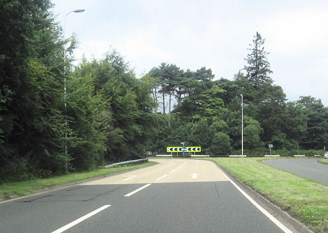
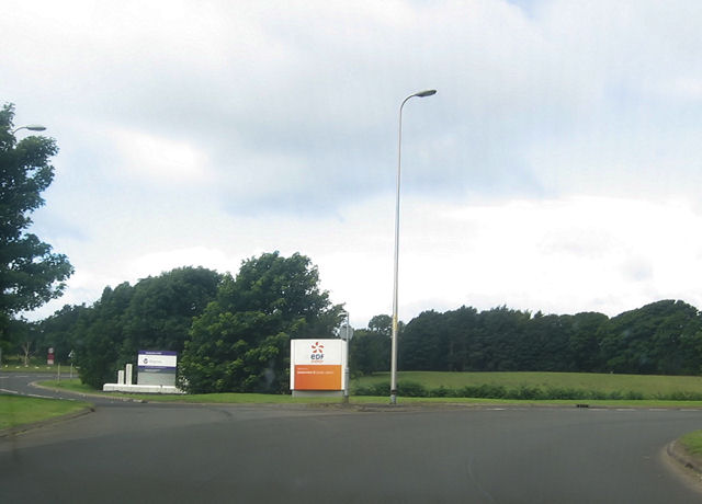
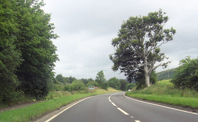
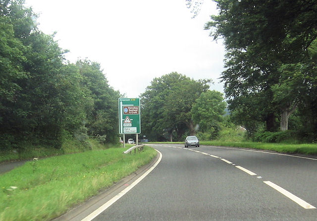
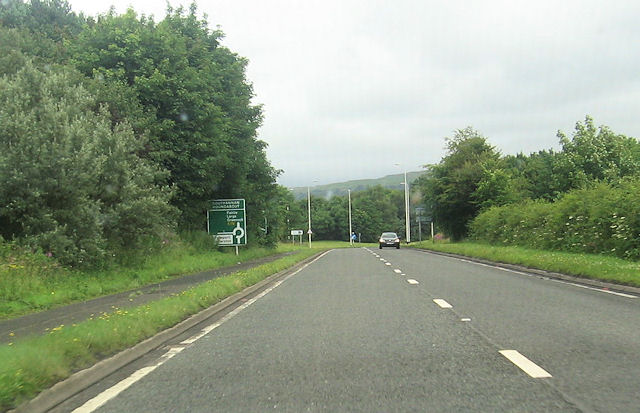
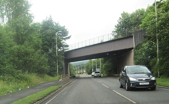
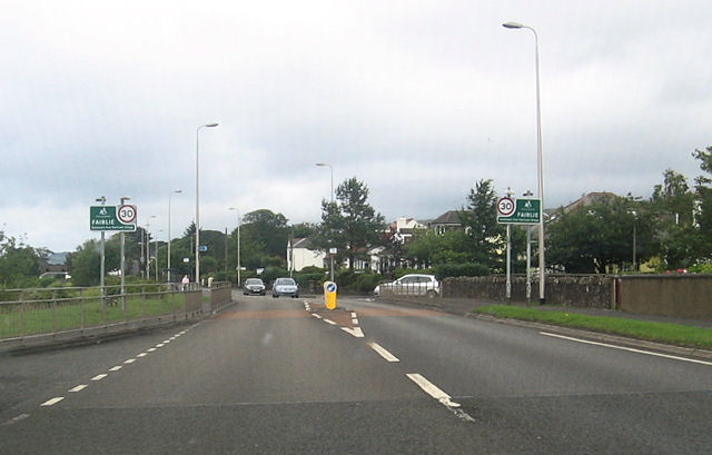
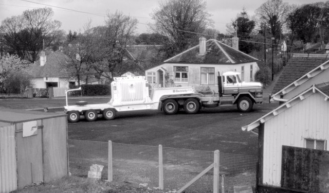
Underbank Wood Images
Images are sourced within 2km of 55.742693/-4.8562729 or Grid Reference NS2053. Thanks to Geograph Open Source API. All images are credited.


Underbank Wood is located at Grid Ref: NS2053 (Lat: 55.742693, Lng: -4.8562729)
Unitary Authority: North Ayrshire
Police Authority: Ayrshire
What 3 Words
///saved.name.squirted. Near Fairlie, North Ayrshire
Nearby Locations
Related Wikis
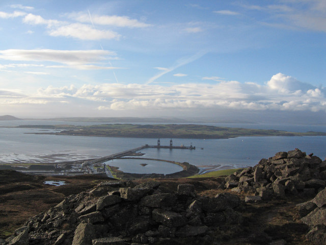
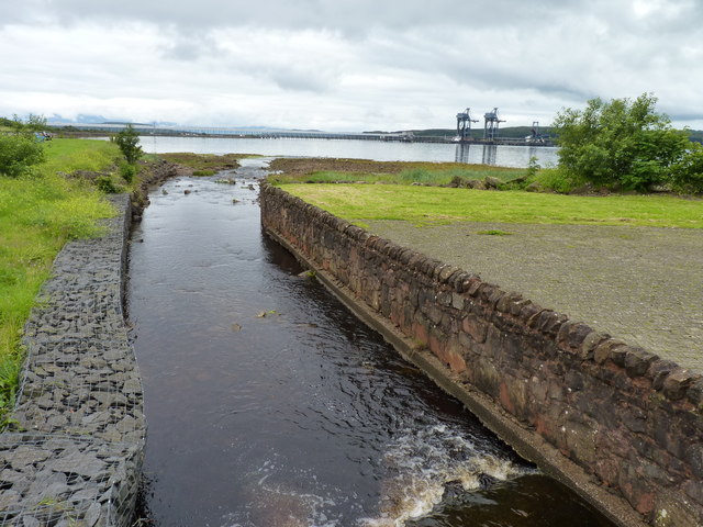
Hunterston Terminal
Hunterston Terminal, in North Ayrshire, Scotland, was an iron ore and coal-handling port located at Fairlie on the Firth of Clyde, operated by Clydeport...

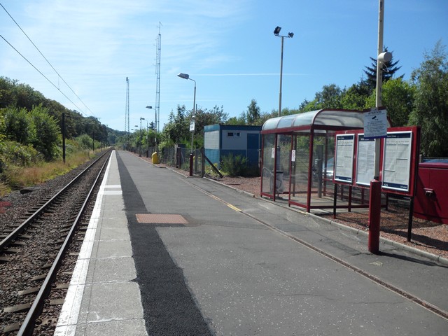
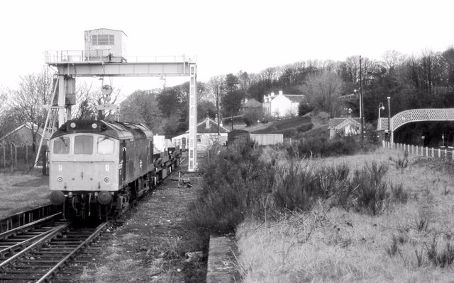
Fairlie railway station
Fairlie railway station serves the village of Fairlie, North Ayrshire, Scotland. The station is managed by ScotRail and is on the Ayrshire Coast Line....
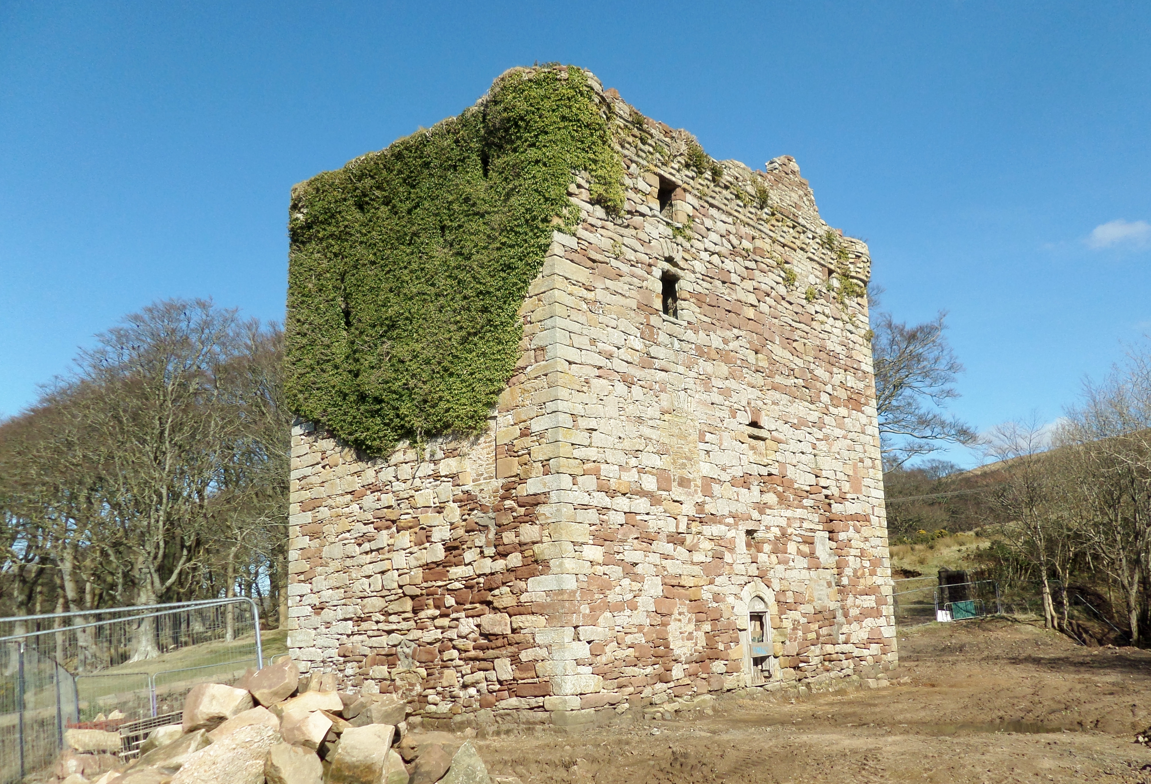
Fairlie Castle
Fairlie Castle is a restored oblong tower castle located on a natural rounded knoll situated above a precipitous section of the Fairlie Glen near the town...
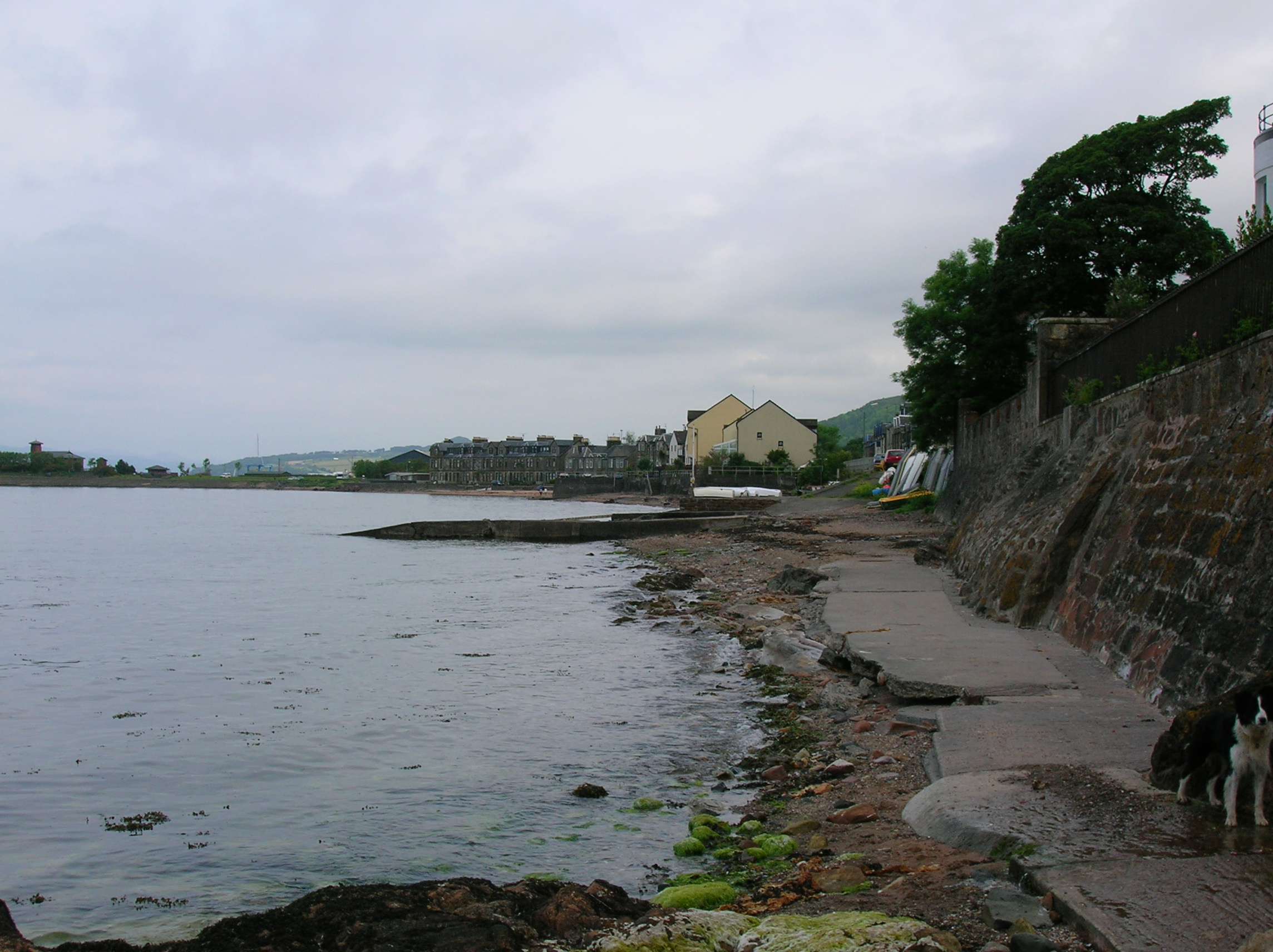
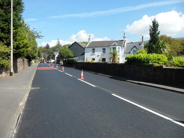
Fairlie, North Ayrshire
Fairlie is a village in North Ayrshire, Scotland. == Location and status == Fairlie sits on the eastern shore of the Firth of Clyde and looks across to...
Nearby Amenities
Located within 500m of 55.742693,-4.8562729Have you been to Underbank Wood?
Leave your review of Underbank Wood below (or comments, questions and feedback).