Aldons Wood
Wood, Forest in Ayrshire
Scotland
Aldons Wood
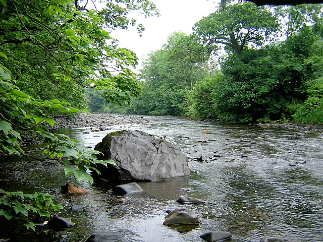
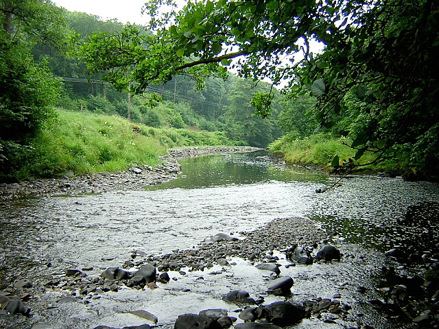
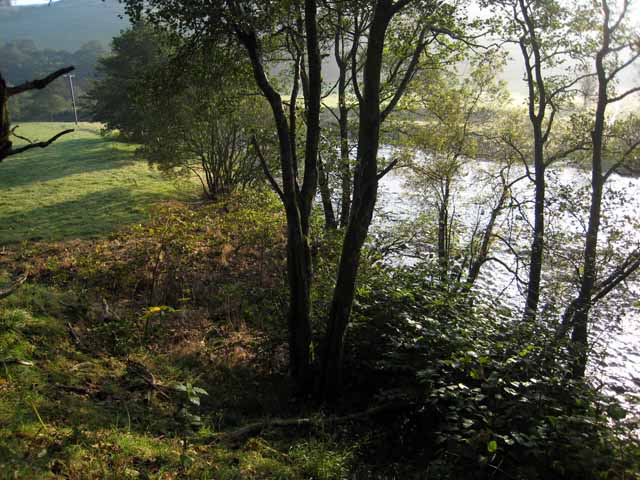
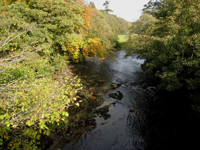
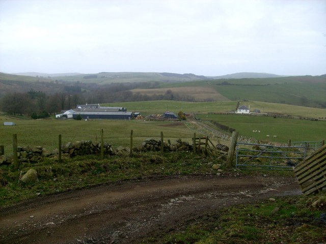
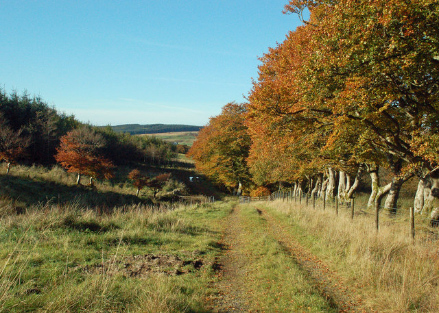
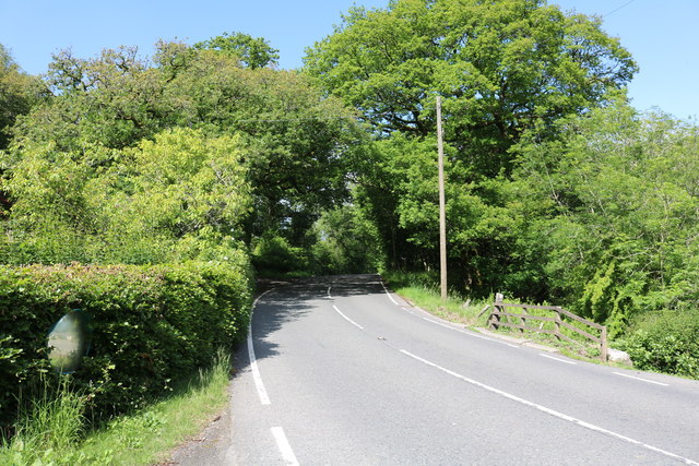
Aldons Wood, located in Ayrshire, Scotland, is a picturesque forest renowned for its natural beauty and rich biodiversity. Spanning across a vast area, this woodland is a popular destination for nature enthusiasts and outdoor adventurers alike.
The wood is composed of a diverse range of tree species, including oak, birch, and beech, which create a stunning canopy that provides shade and creates a tranquil atmosphere. The forest floor is covered with a thick layer of moss and ferns, adding to its enchanting allure. The dense vegetation provides a habitat for numerous wildlife species, such as red squirrels, deer, and a variety of bird species, making it a haven for wildlife enthusiasts and birdwatchers.
Trails wind through the forest, offering visitors the opportunity to explore and immerse themselves in this natural paradise. The paths are well-maintained and clearly marked, ensuring a safe and enjoyable experience for all. Along the way, visitors can enjoy the sights and sounds of the woodland, breathe in the fresh air, and revel in the tranquility.
Aldons Wood is also home to a small pond, where visitors can spot various aquatic creatures and observe the delicate balance of a freshwater ecosystem. The pond provides a peaceful setting for relaxation and contemplation.
Overall, Aldons Wood in Ayrshire is a treasure trove of natural wonders, offering a serene and immersive experience for those seeking to connect with nature. Whether it's for a leisurely stroll, birdwatching, or simply to escape the hustle and bustle of everyday life, this woodland provides a captivating retreat for all who venture within its embrace.
If you have any feedback on the listing, please let us know in the comments section below.
Aldons Wood Images
Images are sourced within 2km of 55.170548/-4.8266856 or Grid Reference NX2089. Thanks to Geograph Open Source API. All images are credited.


Aldons Wood is located at Grid Ref: NX2089 (Lat: 55.170548, Lng: -4.8266856)
Unitary Authority: South Ayrshire
Police Authority: Ayrshire
What 3 Words
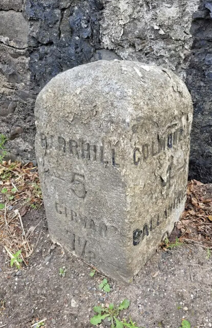
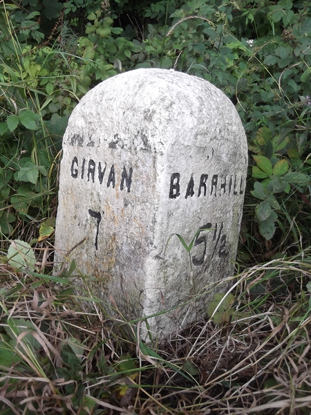
///grief.wicket.stew. Near Girvan, South Ayrshire
Nearby Locations
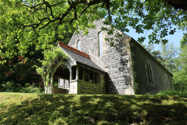
Related Wikis

Pinmore railway station
Pinmore railway station served the hamlet of Pinmore, South Ayrshire, Scotland from 1877 to 1965 on the Girvan and Portpatrick Junction Railway. ��2�...

Pinwherry railway station
Pinwherry railway station served the village of Pinwherry, South Ayrshire, Scotland from 1887 to 1965 on the Girvan and Portpatrick Junction Railway....

Pinwherry
Pinwherry is a hamlet in the civil parish of Colmonell, in the council area of South Ayrshire, Scotland. It is 8 miles south of Girvan. In 1961 it had...

Ardmillan Castle
Ardmillan Castle is a ruinous Scottish castle dating from the late 16th century. It lies on the A77 on the edge of the Firth of Clyde south of Girvan....

Colmonell
Colmonell (Scottish Gaelic: Cill Cholmain Eala) (meaning the church of St. Colman of Lainn Eala - in Lynally, County Offaly, Ireland) is a small village...

Lendalfoot
Lendalfoot is a small village located on Carleton Bay, parish of Colmonell in the old district of Carrick, now South Ayrshire, about six miles (ten kilometres...

Dumbarton Collegiate Church
The Collegiate Church of St Mary, Dumbarton, Scotland, was founded in about 1453 by Isabella, Countess of Lennox and Duchess of Albany. During the medieval...
Russian cruiser Varyag (1899)
Varyag (Russian: Варя́г) sometimes also spelled Variag, was a Russian protected cruiser. Varyag became famous for her crew's stoicism at the Battle of...
Nearby Amenities
Located within 500m of 55.170548,-4.8266856Have you been to Aldons Wood?
Leave your review of Aldons Wood below (or comments, questions and feedback).