Airyolland Wood

Wood, Forest in Wigtownshire

Scotland

Airyolland Wood

Old Milestone, Gabsnout On the NE verge of an u/c road north of Gabsnpout. The destinations are New Luce and Glenluce. Rivet BM representing 30.6 m ASL.

Inscription: N / 2 // G / 3

Milestone Society National ID: DG_NLGL02
Old Milestone, Gabsnout Credit: Alan Wake

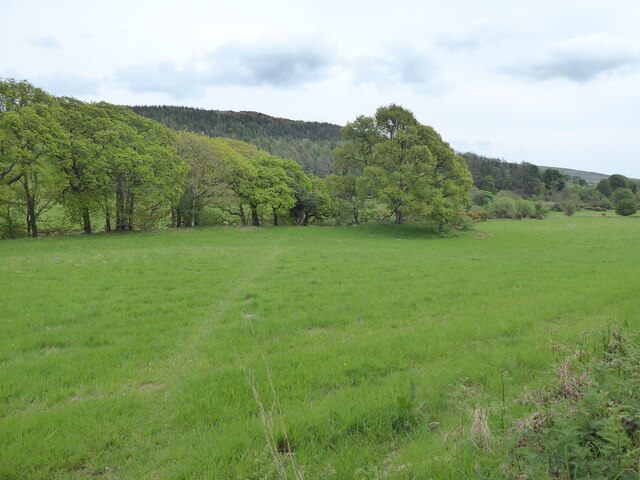
Airyolland Wood is a picturesque forest located in Wigtownshire, Scotland. Covering an area of approximately 150 acres, this woodland is a haven for nature enthusiasts and outdoor lovers alike. The wood is situated near the village of Kirkinner and is easily accessible by road.

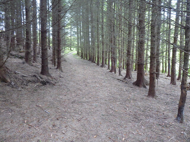
The forest is dominated by a variety of tree species, including oak, beech, and birch, which create a diverse and vibrant ecosystem. These trees provide a habitat for a wide range of wildlife, such as red squirrels, roe deer, and numerous bird species, making it an ideal spot for birdwatching and wildlife observation.

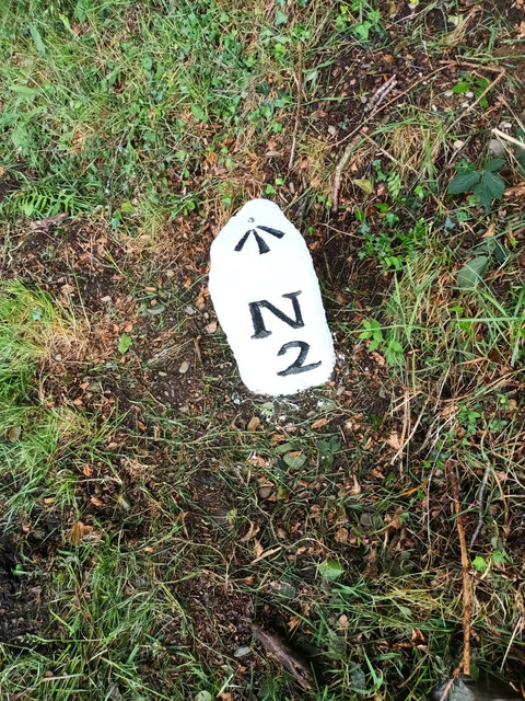
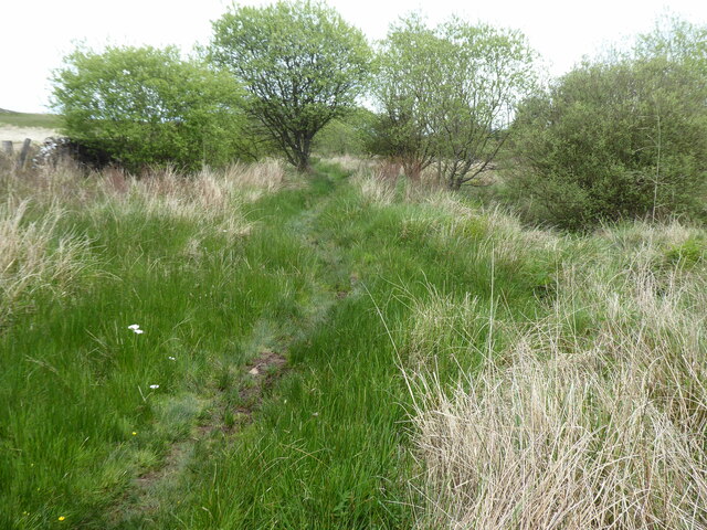
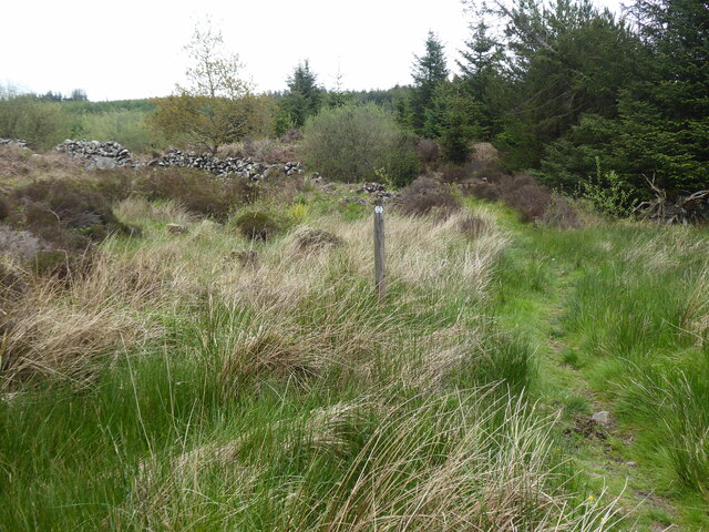
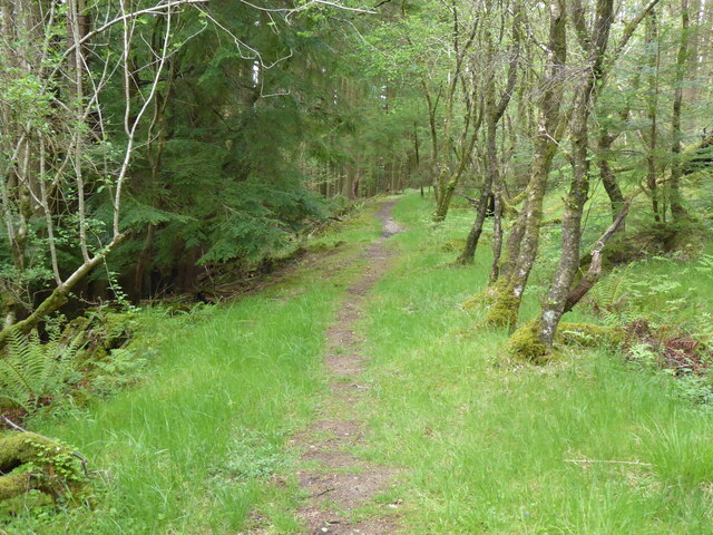
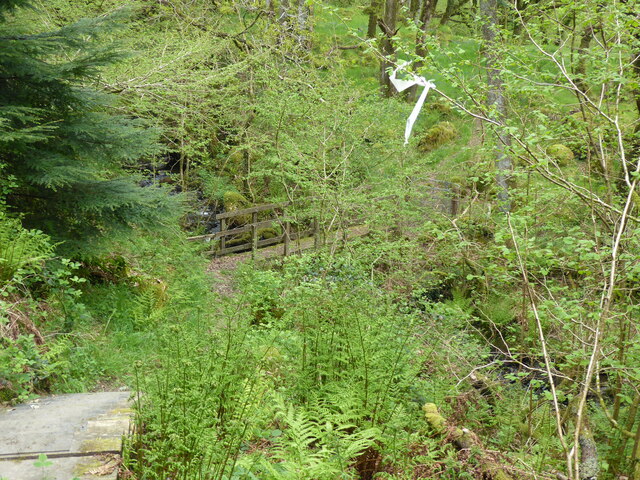
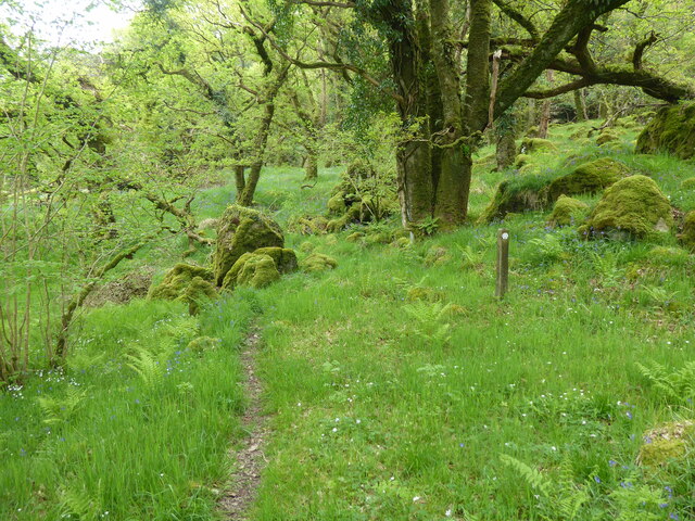
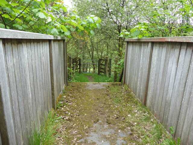
Airyolland Wood offers several walking trails that wind through the forest, providing visitors with an opportunity to immerse themselves in nature and enjoy the tranquility of the surroundings. The paths are well-maintained and suitable for both casual strollers and more adventurous hikers.

Throughout the year, the wood boasts a stunning display of seasonal colors, with vibrant foliage in autumn and delicate wildflowers in spring. This makes it a popular destination for photographers and artists seeking inspiration from the natural beauty of the area.

The forest also holds historical significance, with remnants of ancient settlements and structures scattered throughout. Visitors can explore these archaeological sites and learn about the rich history of the region.

Overall, Airyolland Wood offers a delightful blend of natural beauty, wildlife, and history, making it a must-visit destination for those seeking a peaceful retreat in the heart of Wigtownshire.

If you have any feedback on the listing, please let us know in the comments section below.

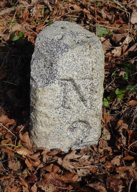
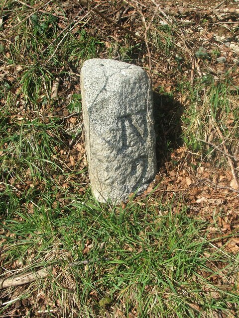
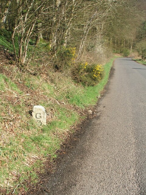
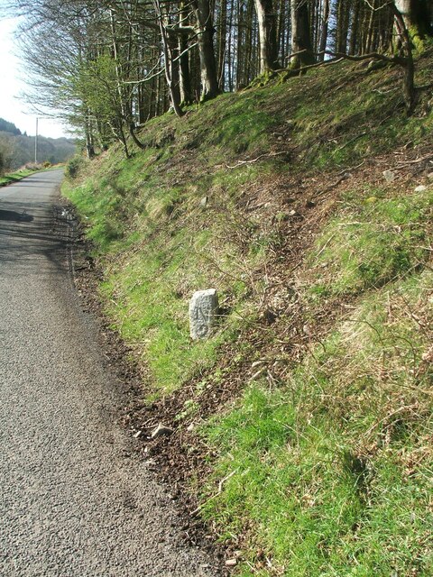
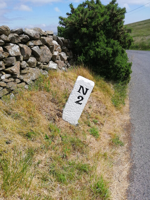
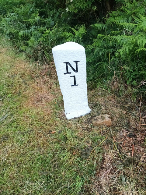
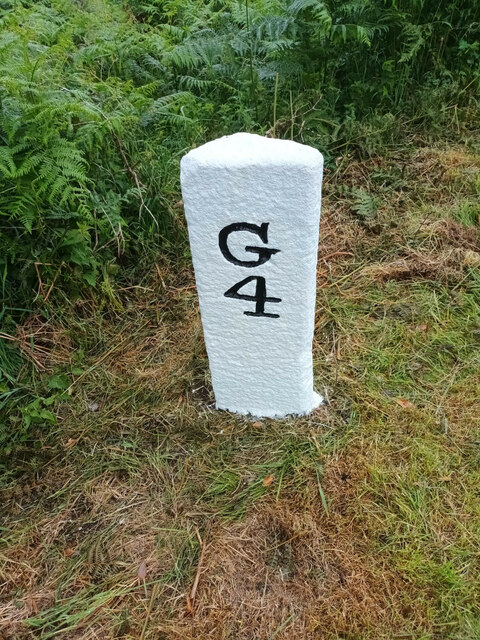
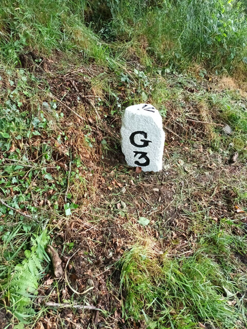
Airyolland Wood Images

Images are sourced within 2km of 54.919649/-4.855567 or Grid Reference NX1762. Thanks to Geograph Open Source API. All images are credited.

Old Milestone, Gabsnout On the NE verge of an u/c road north of Gabsnpout. The destinations are New Luce and Glenluce. Rivet BM representing 30.6 m ASL.

Inscription: N / 2 // G / 3

Milestone Society National ID: DG_NLGL02
Old Milestone, Gabsnout
On the NE verge of an u/c road north of Gabsnpout. The destinations are New Luce and Glenluce. Rivet BM representing 30.6 m ASL. Inscription: N / 2 // G / 3 Milestone Society National ID: DG_NLGL02
Old milestone The 3 miles from Glenluce milestone is between Gabsnout and Galdenoch.   It is on the banking opposite and between TP3 and TP2.  The pin and cut benchmark can be seen on the top.
Old milestone
The 3 miles from Glenluce milestone is between Gabsnout and Galdenoch. It is on the banking opposite and between TP3 and TP2. The pin and cut benchmark can be seen on the top.
Old milestone Looking southwards towards Gabsnout, the milestone is seen close to the road on the edge of the sloping banking.  It has sustained some damage to its top front.
Old milestone
Looking southwards towards Gabsnout, the milestone is seen close to the road on the edge of the sloping banking. It has sustained some damage to its top front.
Old milestone Facing north the mileage to New Luce is seen.   On the OS map New Luce is written as two words.   Although it is 2 miles to New Luce this was the last milestone spotted before reaching the village.   There is an MS on the map north of Cruise but the stone is either missing or well hidden.
Old milestone
Facing north the mileage to New Luce is seen. On the OS map New Luce is written as two words. Although it is 2 miles to New Luce this was the last milestone spotted before reaching the village. There is an MS on the map north of Cruise but the stone is either missing or well hidden.
Old milestone On the UC road from New Luce to the A75 at Castle Kennedy.   It is a typical stone for this part of Wigtownshire, triangular with a narrow, flat front edge.   The other face is S/7.   It has been painted by a Milestone Society member.
Old milestone
On the UC road from New Luce to the A75 at Castle Kennedy. It is a typical stone for this part of Wigtownshire, triangular with a narrow, flat front edge. The other face is S/7. It has been painted by a Milestone Society member.
Old milestone The Stranraer face of the milestone on the UC road southwest of New Luce.   Although leaning and on a steep verge there will be enough stone under soil level to keep it safe.   Dating from the end of the 19C or beginning of the 20C these Wigtownshire milestones can have broken off corners or uneven edges.
Old milestone
The Stranraer face of the milestone on the UC road southwest of New Luce. Although leaning and on a steep verge there will be enough stone under soil level to keep it safe. Dating from the end of the 19C or beginning of the 20C these Wigtownshire milestones can have broken off corners or uneven edges.
Old milestone The New Luce milestone 1 mile south of the village on the east side of the UC road to Glenluce.   It is between Cruise Bridge and Cruise.   It has been painted by a Milestone Society member.
Old milestone
The New Luce milestone 1 mile south of the village on the east side of the UC road to Glenluce. It is between Cruise Bridge and Cruise. It has been painted by a Milestone Society member.
Old milestone The Glenluce face of the milestone one mile south of New Luce on the east side of the UC road.  The slightly flattened front edge on this style of Wigtownshire milestone can be seen and at the base some rough unworked stone.    The bottom of a stone that was meant to be set into the ground was not worked.
Old milestone
The Glenluce face of the milestone one mile south of New Luce on the east side of the UC road. The slightly flattened front edge on this style of Wigtownshire milestone can be seen and at the base some rough unworked stone. The bottom of a stone that was meant to be set into the ground was not worked.
Old milestone This is the milestone between Galdenoch and Gabsnout on the UC road to Glenluce from New Luce.    It has been painted by a Milestone Society member since it was visited in April.   The cut benchmark and pin on the top have also been painted.   To reflect the milestones on three minor roads radiating from New Luce, the  Milestone Society ID has been changed from DG_GLNL03 to DG_NLGL02
Old milestone
This is the milestone between Galdenoch and Gabsnout on the UC road to Glenluce from New Luce. It has been painted by a Milestone Society member since it was visited in April. The cut benchmark and pin on the top have also been painted. To reflect the milestones on three minor roads radiating from New Luce, the Milestone Society ID has been changed from DG_GLNL03 to DG_NLGL02
Old milestone Two miles south of New Luce on the UC road to Glenluce, this shot of the newly painted milestone clearly shows the cut benchmark and pin.  Was DG_GLNL03 now DG_NLGL02.
Old milestone
Two miles south of New Luce on the UC road to Glenluce, this shot of the newly painted milestone clearly shows the cut benchmark and pin. Was DG_GLNL03 now DG_NLGL02.
The Southern Upland Way near Glenwhan Moor
The Southern Upland Way near Craig Burn
The Southern Upland Way near Drumfleugh
The Southern Upland Way near Devil's Flesh Barrel
The Southern Upland Way near Airyolland Wood
Show me another place!

Airyolland Wood is located at Grid Ref: NX1762 (Lat: 54.919649, Lng: -4.855567)

Unitary Authority: Dumfries and Galloway

Police Authority: Dumfries and Galloway

What 3 Words

///searching.rehearsed.likewise. Near Stranraer, Dumfries & Galloway

Related Wikis

Mid Gleniron

Mid Gleniron is a prehistoric site in Dumfries and Galloway used in the Neolithic and Bronze Age. The site is a scheduled ancient monument that comprises...

New Luce railway station

New Luce railway station served the village of New Luce, Dumfries and Galloway, Scotland from 1887 to 1965 on the Girvan and Portpatrick Junction Railway...

New Luce

New Luce (Scottish Gaelic: Baile Ùr Ghlinn Lus) is a civil parish in Dumfries and Galloway, south-west Scotland. It lies in the traditional county of Wigtownshire...

Glenluce Abbey

Glenluce Abbey, near to Glenluce, Scotland, was a Cistercian monastery called also Abbey of Luce or Vallis Lucis and founded around 1190 by Rolland or...

Dunragit

Dunragit (Scottish Gaelic: Dùn Reicheit) is a village on the A75, between Stranraer and Glenluce in Dumfries and Galloway, south-west Scotland. Dunragit...

Dunragit railway station

Dunragit railway station served the village of Dunragit, Dumfries and Galloway, Scotland from 1861 to 1965 on the Portpatrick and Wigtownshire Joint Railway...

Castle of Park

The Castle of Park is a 16th-century L-plan tower house near Glenluce, in the historic county of Wigtownshire in Dumfries and Galloway, Scotland. It...

Glenluce railway station

Glenluce station was a station open in 1862 on the former Port Road that was constructed on the Portpatrick and Wigtownshire Joint Railway. It served the...

Nearby Amenities

Located within 500m of 54.919649,-4.855567
Galdenoch
Naptan AtcoCode: 680000847111
Naptan Bearing: N
Naptan BusStopType: CUS
Naptan CommonName: Galdenoch
Naptan Indicator: Road End
Naptan Landmark: Galdenoch
Naptan NaptanCode: 34237247
Naptan Notes: none
Naptan Street: C1
Naptan Verified: no
Source: naptan_import
Lat/Long: 54.9175382/-4.8488494
Galdenoch
Naptan AtcoCode: 680000847222
Naptan Bearing: S
Naptan BusStopType: CUS
Naptan CommonName: Galdenoch
Naptan Indicator: opp Road End
Naptan Landmark: Galdenoch
Naptan NaptanCode: 34237248
Naptan Notes: none
Naptan Street: C1
Naptan Verified: no
Source: naptan_import
Lat/Long: 54.9175594/-4.8487105
Cruise
Place: hamlet
Lat/Long: 54.9238112/-4.8526876
Low Airyolland
Place: hamlet
Lat/Long: 54.9191573/-4.8584896
Galdenoch
Place: hamlet
Lat/Long: 54.9174181/-4.8503464
Railway: level_crossing
Lat/Long: 54.923445/-4.8574767
Power: pole
Lat/Long: 54.9172041/-4.8496501
Power: pole
Lat/Long: 54.9178086/-4.8503309
Power: pole
Lat/Long: 54.9185385/-4.8511502
Power: pole
Lat/Long: 54.9191133/-4.8518216
Power: pole
Lat/Long: 54.9198379/-4.851939
Power: pole
Lat/Long: 54.9205422/-4.8520681
Power: pole
Lat/Long: 54.9212856/-4.8521902
Power: pole
Lat/Long: 54.9220141/-4.852317
Power: pole
Lat/Long: 54.9227791/-4.8524484
Power: pole
Lat/Long: 54.923741/-4.8526151
Power: pole
Lat/Long: 54.9224526/-4.8534978
Power: pole
Lat/Long: 54.9220937/-4.854627
Power: pole
Lat/Long: 54.9217483/-4.8557304
Power: pole
Lat/Long: 54.9215864/-4.8562539
Power: pole
Lat/Long: 54.9213854/-4.8568972
Power: pole
Lat/Long: 54.9208255/-4.8577752
Power: pole
Lat/Long: 54.9204302/-4.858409
Power: pole
Lat/Long: 54.9198574/-4.8592906
Power: pole
Lat/Long: 54.9198561/-4.8598951
Power: pole
Lat/Long: 54.9198595/-4.8612086
Power: pole
Lat/Long: 54.9198547/-4.8621723
Power: pole
Lat/Long: 54.919852/-4.8632146
Power: pole
Lat/Long: 54.9195201/-4.859314
The data included in this document is from www.openstreetmap.org. The data is made available under ODbL.

Have you been to Airyolland Wood?

Leave your review of Airyolland Wood below (or comments, questions and feedback).