Cruise Fell

Downs, Moorland in Wigtownshire

Scotland

Cruise Fell

Old Milestone, Gabsnout On the NE verge of an u/c road north of Gabsnpout. The destinations are New Luce and Glenluce. Rivet BM representing 30.6 m ASL.

Inscription: N / 2 // G / 3

Milestone Society National ID: DG_NLGL02
Old Milestone, Gabsnout Credit: Alan Wake

Cruise Fell is a picturesque area located in Wigtownshire, a historic region in southwestern Scotland. Known for its stunning downs and moorland landscapes, Cruise Fell offers visitors a unique blend of natural beauty and tranquility.

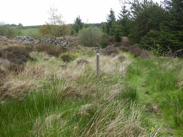
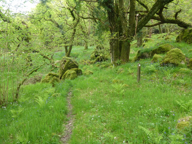
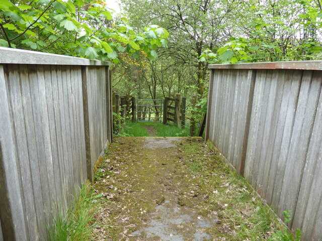
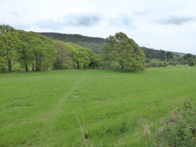
The downs in Cruise Fell are characterized by gently rolling hills covered in lush green grass, creating a serene and idyllic atmosphere. These downs provide ample opportunities for leisurely walks or picnics, allowing visitors to immerse themselves in the peaceful ambiance of the area. The scenic vistas from the downs are simply breathtaking, with panoramic views of the surrounding countryside and distant hills.

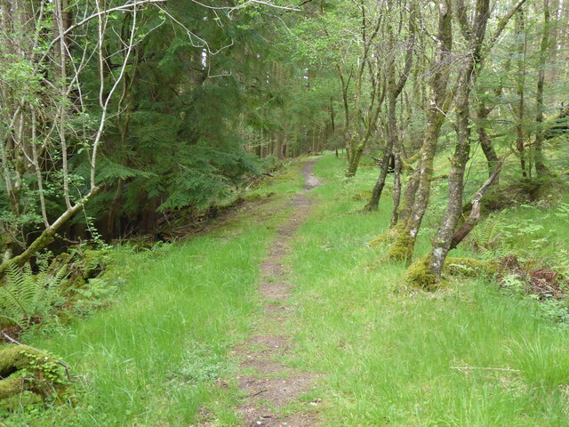
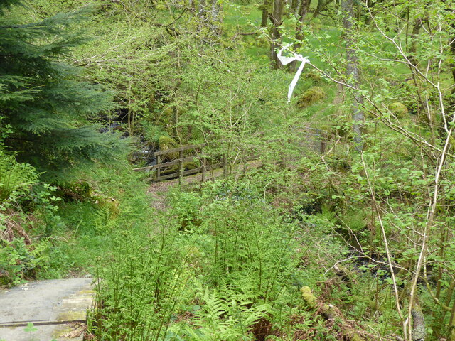
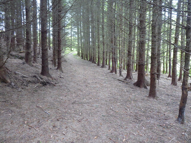
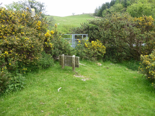
The moorland in Cruise Fell offers a more rugged and wild experience. Blanketed by heather and scattered with rocky outcrops, the moorland is a haven for wildlife enthusiasts and hikers seeking a more adventurous experience. The undulating terrain provides an exciting challenge for those exploring the area on foot, while the moorland's diverse flora and fauna offer ample opportunities for nature observation and photography.

Cruise Fell is also home to a variety of bird species, including red grouse and skylarks, making it a popular destination for birdwatchers. The moorland's remote location and lack of light pollution also make it an excellent spot for stargazing, providing visitors with a chance to marvel at the wonders of the night sky.

Overall, Cruise Fell in Wigtownshire is a haven for nature lovers and outdoor enthusiasts, offering a diverse range of landscapes and experiences. Whether exploring the tranquil downs or venturing into the wild moorland, visitors are sure to be captivated by the beauty and serenity of this remarkable area.

If you have any feedback on the listing, please let us know in the comments section below.
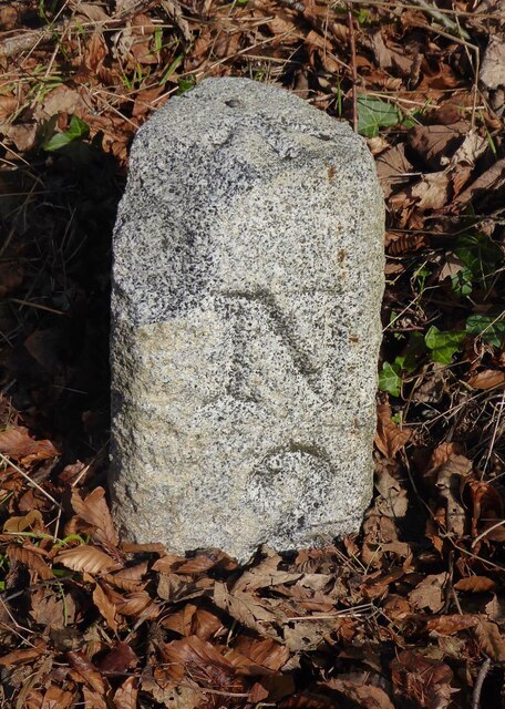
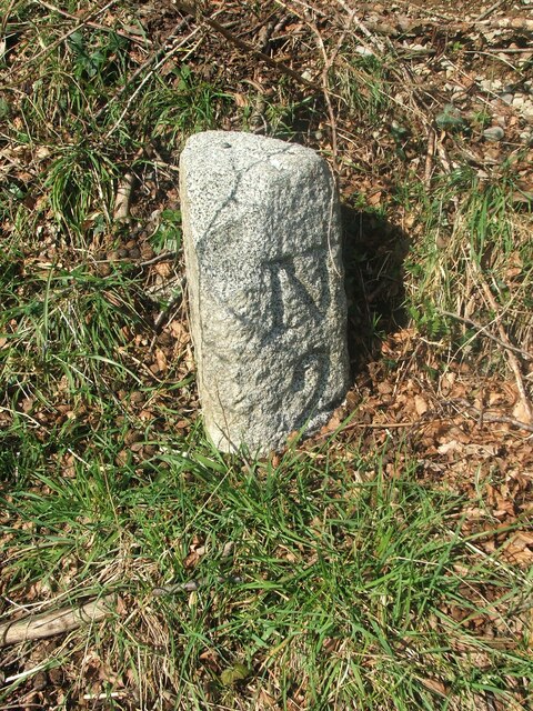
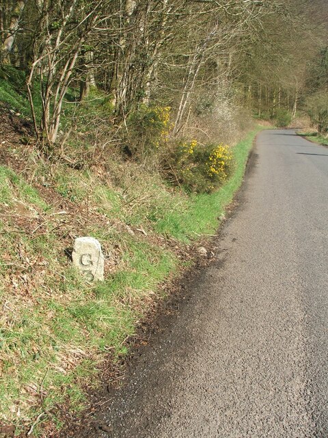
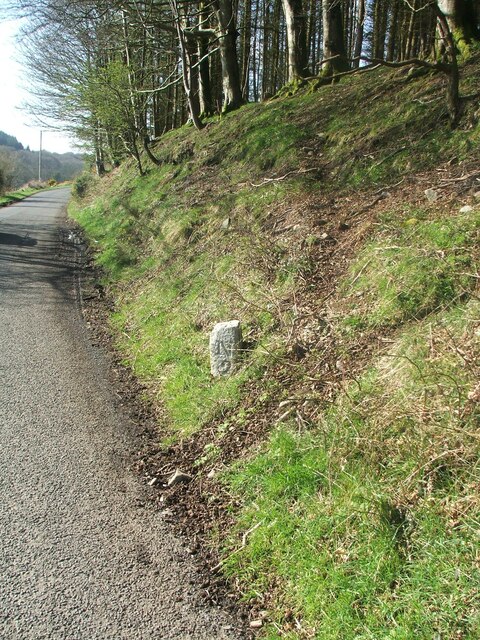
Cruise Fell Images

Images are sourced within 2km of 54.920686/-4.8466035 or Grid Reference NX1762. Thanks to Geograph Open Source API. All images are credited.

Old Milestone, Gabsnout On the NE verge of an u/c road north of Gabsnpout. The destinations are New Luce and Glenluce. Rivet BM representing 30.6 m ASL.

Inscription: N / 2 // G / 3

Milestone Society National ID: DG_NLGL02
Old Milestone, Gabsnout
On the NE verge of an u/c road north of Gabsnpout. The destinations are New Luce and Glenluce. Rivet BM representing 30.6 m ASL. Inscription: N / 2 // G / 3 Milestone Society National ID: DG_NLGL02
Old milestone The 3 miles from Glenluce milestone is between Gabsnout and Galdenoch.   It is on the banking opposite and between TP3 and TP2.  The pin and cut benchmark can be seen on the top.
Old milestone
The 3 miles from Glenluce milestone is between Gabsnout and Galdenoch. It is on the banking opposite and between TP3 and TP2. The pin and cut benchmark can be seen on the top.
Old milestone Looking southwards towards Gabsnout, the milestone is seen close to the road on the edge of the sloping banking.  It has sustained some damage to its top front.
Old milestone
Looking southwards towards Gabsnout, the milestone is seen close to the road on the edge of the sloping banking. It has sustained some damage to its top front.
Old milestone Facing north the mileage to New Luce is seen.   On the OS map New Luce is written as two words.   Although it is 2 miles to New Luce this was the last milestone spotted before reaching the village.   There is an MS on the map north of Cruise but the stone is either missing or well hidden.
Old milestone
Facing north the mileage to New Luce is seen. On the OS map New Luce is written as two words. Although it is 2 miles to New Luce this was the last milestone spotted before reaching the village. There is an MS on the map north of Cruise but the stone is either missing or well hidden.
Old milestone The New Luce milestone 1 mile south of the village on the east side of the UC road to Glenluce.   It is between Cruise Bridge and Cruise.   It has been painted by a Milestone Society member.
Old milestone
The New Luce milestone 1 mile south of the village on the east side of the UC road to Glenluce. It is between Cruise Bridge and Cruise. It has been painted by a Milestone Society member.
Old milestone The Glenluce face of the milestone one mile south of New Luce on the east side of the UC road.  The slightly flattened front edge on this style of Wigtownshire milestone can be seen and at the base some rough unworked stone.    The bottom of a stone that was meant to be set into the ground was not worked.
Old milestone
The Glenluce face of the milestone one mile south of New Luce on the east side of the UC road. The slightly flattened front edge on this style of Wigtownshire milestone can be seen and at the base some rough unworked stone. The bottom of a stone that was meant to be set into the ground was not worked.
Old milestone This is the milestone between Galdenoch and Gabsnout on the UC road to Glenluce from New Luce.    It has been painted by a Milestone Society member since it was visited in April.   The cut benchmark and pin on the top have also been painted.   To reflect the milestones on three minor roads radiating from New Luce, the  Milestone Society ID has been changed from DG_GLNL03 to DG_NLGL02
Old milestone
This is the milestone between Galdenoch and Gabsnout on the UC road to Glenluce from New Luce. It has been painted by a Milestone Society member since it was visited in April. The cut benchmark and pin on the top have also been painted. To reflect the milestones on three minor roads radiating from New Luce, the Milestone Society ID has been changed from DG_GLNL03 to DG_NLGL02
Old milestone Two miles south of New Luce on the UC road to Glenluce, this shot of the newly painted milestone clearly shows the cut benchmark and pin.  Was DG_GLNL03 now DG_NLGL02.
Old milestone
Two miles south of New Luce on the UC road to Glenluce, this shot of the newly painted milestone clearly shows the cut benchmark and pin. Was DG_GLNL03 now DG_NLGL02.
The Southern Upland Way near Craig Burn
The Southern Upland Way near Drumfleugh
The Southern Upland Way near Devil's Flesh Barrel
The Southern Upland Way near Airyolland Wood
The Southern Upland Way crossing Water of Luce
The Southern Upland Way near Cruise
Show me another place!

Cruise Fell is located at Grid Ref: NX1762 (Lat: 54.920686, Lng: -4.8466035)

Unitary Authority: Dumfries and Galloway

Police Authority: Dumfries and Galloway

What 3 Words

///mailboxes.pounces.skims. Near Stranraer, Dumfries & Galloway

Related Wikis

Mid Gleniron

Mid Gleniron is a prehistoric site in Dumfries and Galloway used in the Neolithic and Bronze Age. The site is a scheduled ancient monument that comprises...

New Luce railway station

New Luce railway station served the village of New Luce, Dumfries and Galloway, Scotland from 1887 to 1965 on the Girvan and Portpatrick Junction Railway...

New Luce

New Luce (Scottish Gaelic: Baile Ùr Ghlinn Lus) is a civil parish in Dumfries and Galloway, south-west Scotland. It lies in the traditional county of Wigtownshire...

Glenluce Abbey

Glenluce Abbey, near to Glenluce, Scotland, was a Cistercian monastery called also Abbey of Luce or Vallis Lucis and founded around 1190 by Rolland or...

Glenluce railway station

Glenluce station was a station open in 1862 on the former Port Road that was constructed on the Portpatrick and Wigtownshire Joint Railway. It served the...

Castle of Park

The Castle of Park is a 16th-century L-plan tower house near Glenluce, in the historic county of Wigtownshire in Dumfries and Galloway, Scotland. It...

Dunragit

Dunragit (Scottish Gaelic: Dùn Reicheit) is a village on the A75, between Stranraer and Glenluce in Dumfries and Galloway, south-west Scotland. Dunragit...

Old Luce

Old Luce is a civil parish in Dumfries and Galloway, Scotland. It lies in the Machars peninsula, in the traditional county of Wigtownshire. The parish...

Nearby Amenities

Located within 500m of 54.920686,-4.8466035
Galdenoch
Naptan AtcoCode: 680000847111
Naptan Bearing: N
Naptan BusStopType: CUS
Naptan CommonName: Galdenoch
Naptan Indicator: Road End
Naptan Landmark: Galdenoch
Naptan NaptanCode: 34237247
Naptan Notes: none
Naptan Street: C1
Naptan Verified: no
Source: naptan_import
Lat/Long: 54.9175382/-4.8488494
Galdenoch
Naptan AtcoCode: 680000847222
Naptan Bearing: S
Naptan BusStopType: CUS
Naptan CommonName: Galdenoch
Naptan Indicator: opp Road End
Naptan Landmark: Galdenoch
Naptan NaptanCode: 34237248
Naptan Notes: none
Naptan Street: C1
Naptan Verified: no
Source: naptan_import
Lat/Long: 54.9175594/-4.8487105
Galdenoch
Place: hamlet
Lat/Long: 54.9174181/-4.8503464
Power: pole
Lat/Long: 54.9172041/-4.8496501
Power: pole
Lat/Long: 54.9178086/-4.8503309
Power: pole
Lat/Long: 54.9185385/-4.8511502
Power: pole
Lat/Long: 54.9191133/-4.8518216
Power: pole
Lat/Long: 54.9198379/-4.851939
Power: pole
Lat/Long: 54.9205422/-4.8520681
Power: pole
Lat/Long: 54.9212856/-4.8521902
Power: pole
Lat/Long: 54.9220141/-4.852317
Power: pole
Lat/Long: 54.9227791/-4.8524484
Power: pole
Lat/Long: 54.9224526/-4.8534978
The data included in this document is from www.openstreetmap.org. The data is made available under ODbL.

Have you been to Cruise Fell?

Leave your review of Cruise Fell below (or comments, questions and feedback).