Broad Wood
Wood, Forest in Wigtownshire
Scotland
Broad Wood
![Deciduous woodland, near Castle Kennedy At a lay-by on the A75 [Old Military Road], with emergency phone 1359 E, and accompanying lay-by litter. Just east of the village.](https://s1.geograph.org.uk/geophotos/07/41/86/7418665_50d08fce.jpg)
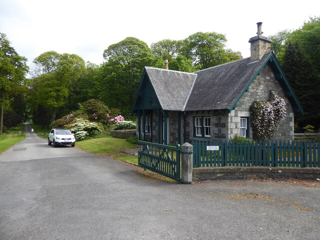
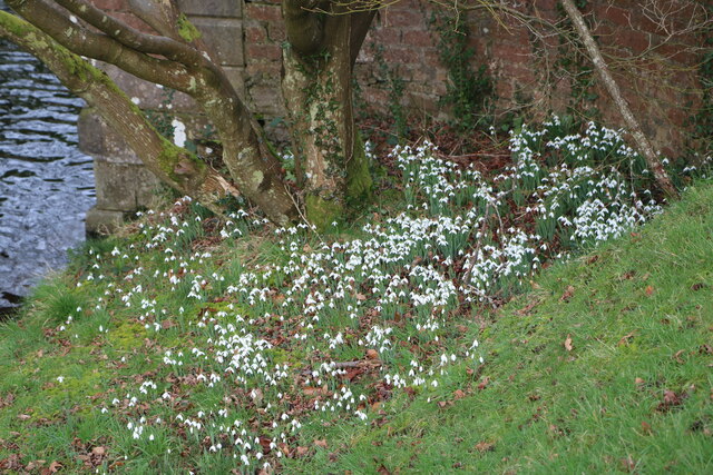
Broad Wood is a picturesque forest located in Wigtownshire, Scotland. Covering an area of approximately 500 acres, it is a serene and tranquil haven for nature enthusiasts and outdoor adventurers alike. The woodland is nestled within the rolling hills and expansive countryside, offering breathtaking views and a peaceful retreat from the hustle and bustle of city life.
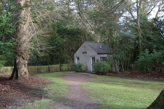
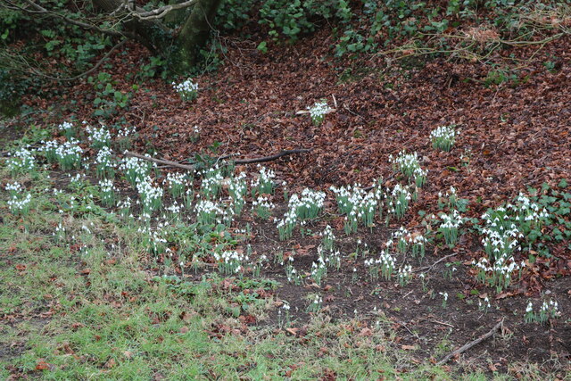
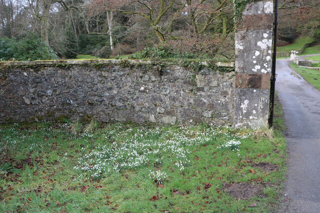
This woodland is predominantly composed of broad-leaved trees, including oak, beech, birch, and ash. These trees create a dense canopy, providing shade and shelter for a wide variety of flora and fauna. Walking through the forest, visitors can enjoy the enchanting beauty of bluebells, ferns, and moss-covered rocks, while listening to the soothing sounds of birdsong and the rustling of leaves underfoot.
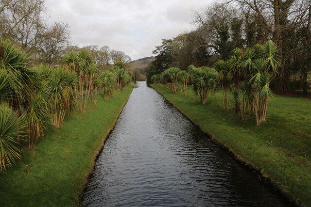
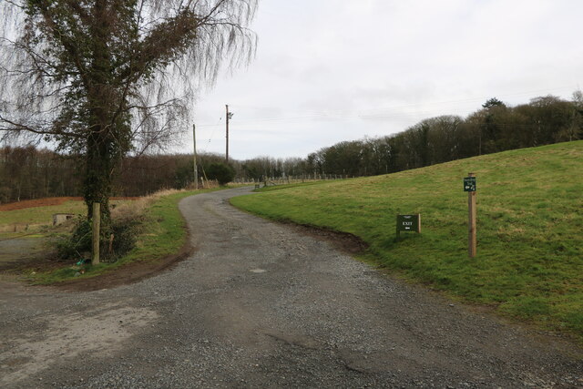
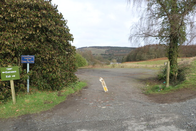
Broad Wood also boasts several well-marked trails and paths, making it an ideal destination for hiking and walking enthusiasts. The trails vary in difficulty, catering to both beginners and experienced hikers. Along these trails, visitors may stumble upon hidden clearings, babbling brooks, and even small waterfalls, adding to the charm and allure of the woodland.
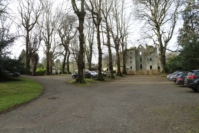
In addition to its natural beauty, Broad Wood is also of historical significance. It is believed that the forest has been in existence for centuries, serving as a vital resource for local communities throughout the ages. The wood has been carefully managed and preserved, ensuring its sustainability and continued contribution to the local ecosystem.
Overall, Broad Wood is a true gem in the heart of Wigtownshire, offering a unique blend of natural beauty, recreational opportunities, and historical significance. Whether one seeks solitude, a peaceful walk, or an immersive nature experience, this woodland has something to offer for everyone.
If you have any feedback on the listing, please let us know in the comments section below.
Broad Wood Images
Images are sourced within 2km of 54.903293/-4.9441326 or Grid Reference NX1160. Thanks to Geograph Open Source API. All images are credited.


Broad Wood is located at Grid Ref: NX1160 (Lat: 54.903293, Lng: -4.9441326)
Unitary Authority: Dumfries and Galloway
Police Authority: Dumfries and Galloway
What 3 Words
///famous.dose.grumbles. Near Stranraer, Dumfries & Galloway
Nearby Locations
Related Wikis

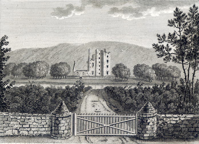
Castle Kennedy (castle)
Castle Kennedy is a ruined 17th-century tower house, about 3 miles (4.8 km) east of Stranraer, Dumfries and Galloway, Scotland, around 0.5 miles (0.80...

RAF Castle Kennedy
Royal Air Force Castle Kennedy, or more simply RAF Castle Kennedy, is a former Royal Air Force satellite station located in Castle Kennedy, Dumfries and...
Castle Kennedy
Castle Kennedy is a small village 3 miles (4.8 km) east of Stranraer in Dumfries and Galloway, south-west Scotland. It is on the A75 road, and is within...

Castle Kennedy railway station
Castle Kennedy railway station served the village of Castle Kennedy, Dumfries and Galloway, Scotland from 1861 to 1965 on the Portpatrick and Wigtownshire...
Aird, Dumfries and Galloway
Aird (Gaelic:An Àird) is a village in Dumfries and Galloway, in the southwest of Scotland. It is 2.5 miles (4.0 km) east of Stranraer and 1 mile (1.6 km...

Soulseat Abbey
Saulseat or Soulseat Abbey was a Premonstratensian monastic community located in Wigtownshire, Galloway, in the Gaelic-speaking south-west of Scotland...

Stair Park
Stair Park is a public park and football stadium in the town of Stranraer, Scotland and is the home of Stranraer F.C. It is owned by Dumfries and Galloway...

Dunragit railway station
Dunragit railway station served the village of Dunragit, Dumfries and Galloway, Scotland from 1861 to 1965 on the Portpatrick and Wigtownshire Joint Railway...
Nearby Amenities
Located within 500m of 54.903293,-4.9441326Have you been to Broad Wood?
Leave your review of Broad Wood below (or comments, questions and feedback).