Longrigg Plantation

Wood, Forest in Wigtownshire

Scotland

Longrigg Plantation

Ardwell bay, Rhins of Galloway about 10 miles South of Stranraer Seals lazing on the rocks during a lovely Winter afternoon.
Ardwell bay, Rhins of Galloway about 10 miles South of Stranraer Credit: Colin McDonald

Longrigg Plantation is a picturesque woodland located in Wigtownshire, Scotland. Covering an area of approximately 200 acres, it is a significant natural asset to the region. The plantation is situated just outside the small village of Longrigg and is easily accessible via a well-maintained road.

The woodland is predominantly composed of native tree species, including oak, beech, and birch, creating a diverse and vibrant ecosystem. The tall and majestic trees provide ample shade, making it an ideal spot for leisurely walks and picnics. Additionally, the plantation features several well-marked trails that cater to both casual strollers and avid hikers.

Longrigg Plantation is home to a rich variety of wildlife, making it a popular destination for nature enthusiasts and bird watchers. Visitors can spot a range of bird species, such as woodpeckers, owls, and various woodland songbirds. The woodland also supports a thriving population of squirrels, rabbits, and occasionally deer.

This beautiful woodland offers a tranquil escape from the hustle and bustle of everyday life. It is a haven for those seeking solace in nature or simply looking to immerse themselves in the peaceful surroundings. The plantation is well-maintained, with regular upkeep to ensure the safety of visitors and the preservation of its natural beauty.

Longrigg Plantation is a true gem of Wigtownshire, providing a serene and enchanting experience for all who visit. Whether exploring the woodland trails or simply enjoying the serenity, this idyllic plantation is a must-visit destination for nature lovers and outdoor enthusiasts alike.

If you have any feedback on the listing, please let us know in the comments section below.

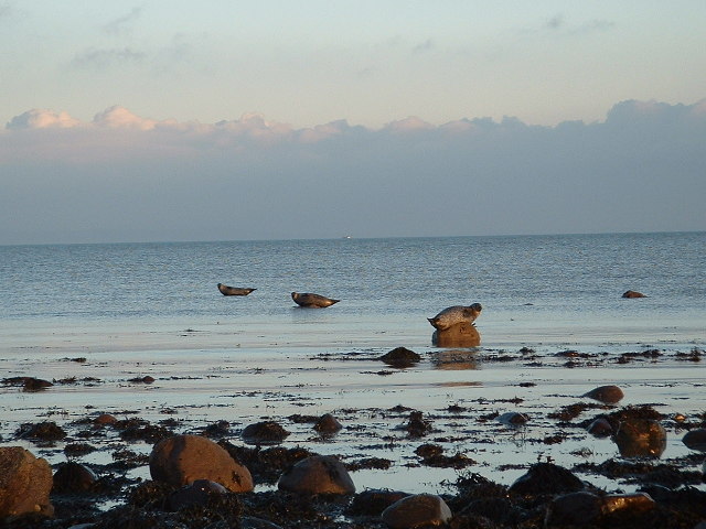
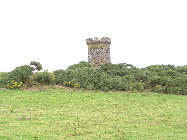
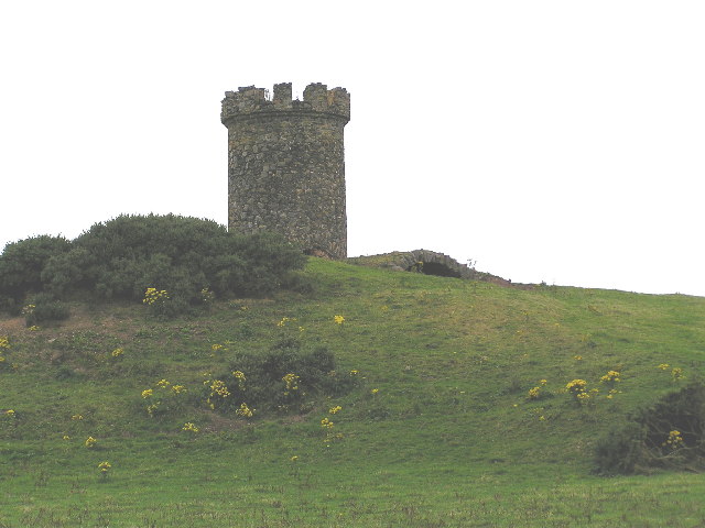
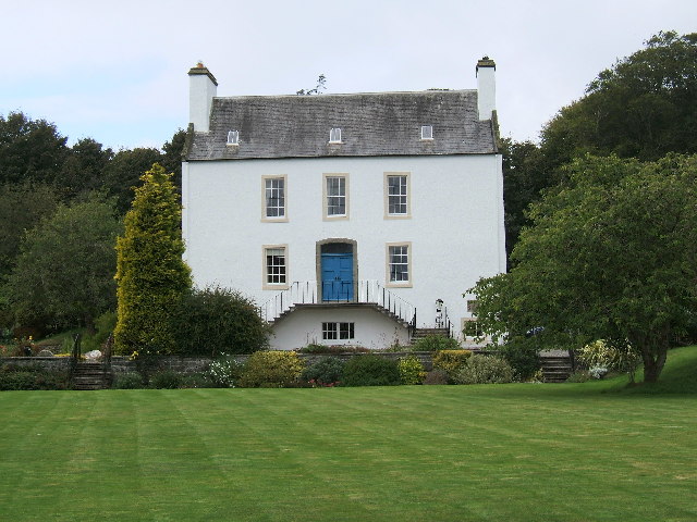
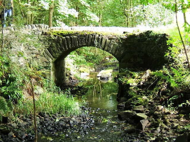
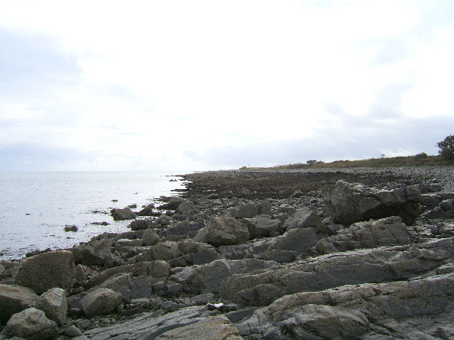
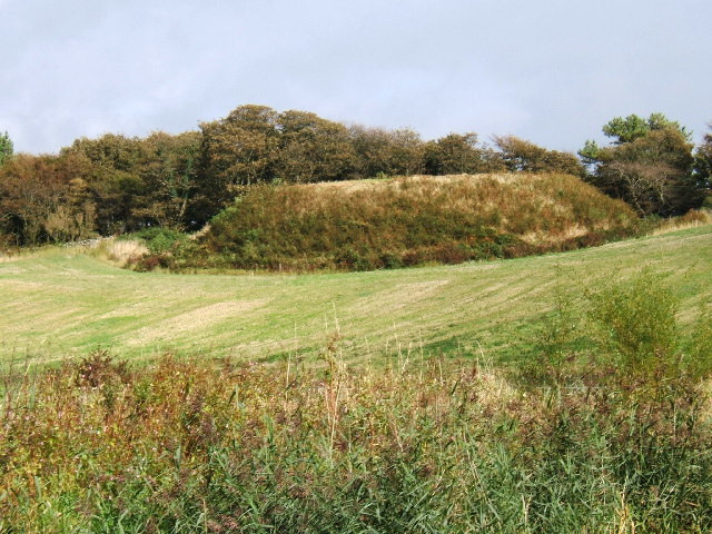
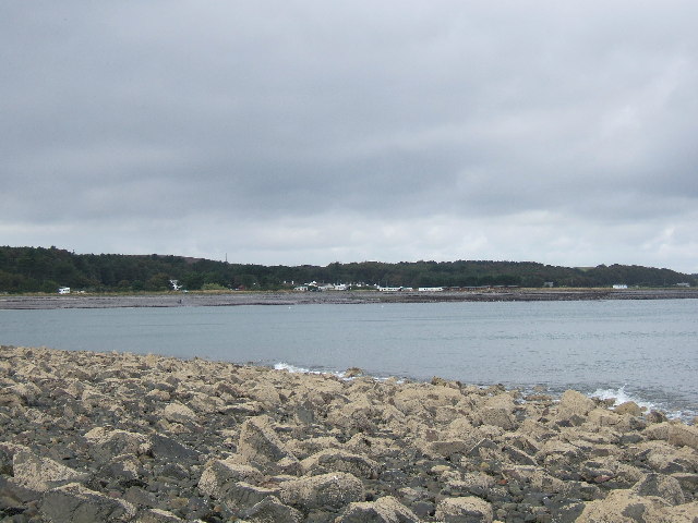
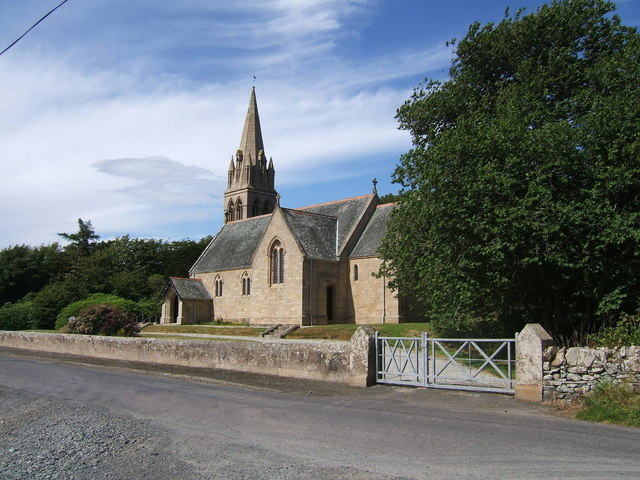
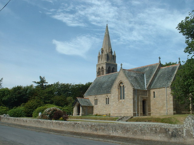
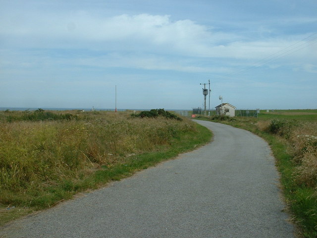
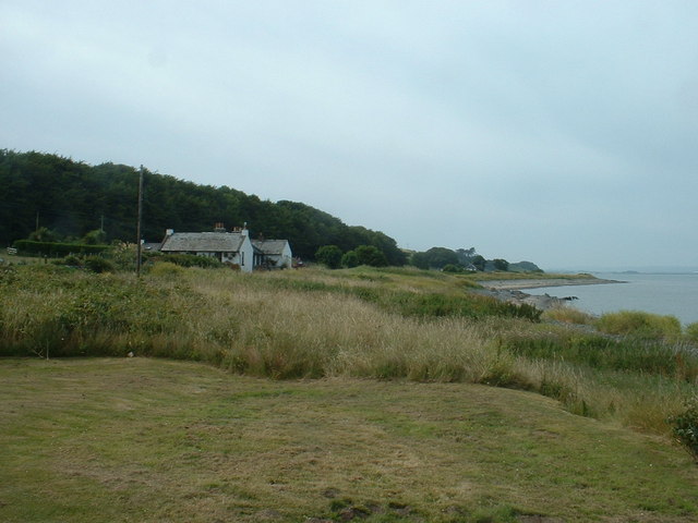
Longrigg Plantation Images

Images are sourced within 2km of 54.762224/-4.9337664 or Grid Reference NX1144. Thanks to Geograph Open Source API. All images are credited.

Ardwell bay, Rhins of Galloway about 10 miles South of Stranraer Seals lazing on the rocks during a lovely Winter afternoon.
Ardwell bay, Rhins of Galloway about 10 miles South of Stranraer
Seals lazing on the rocks during a lovely Winter afternoon.
Logan Windmill This is all that is left of the windmill that was built shortly before 1684 by Patrick McDouall to lessen his estate's dependence on the nearby watermill which in summer was liable to failure.
Logan Windmill
This is all that is left of the windmill that was built shortly before 1684 by Patrick McDouall to lessen his estate's dependence on the nearby watermill which in summer was liable to failure.
Logan Windmill 2 Another view of Logan Windmill showing the curious vaulted structure at its base
Logan Windmill 2
Another view of Logan Windmill showing the curious vaulted structure at its base
Ardwell House, Ardwell, Wigtownshire The estate house at Ardwell owned by and occupied by the Brewis family.
Ardwell House, Ardwell, Wigtownshire
The estate house at Ardwell owned by and occupied by the Brewis family.
An old cartpath and bridge within Ardwell Estate This old bridge is close to Ardwell houses, Ardwell, about 10 miles South of Stranraer.
An old cartpath and bridge within Ardwell Estate
This old bridge is close to Ardwell houses, Ardwell, about 10 miles South of Stranraer.
The rocky shore between Longrigg and Logan Mill Photograph taken around the point from Longrigg near Ardwell.
The rocky shore between Longrigg and Logan Mill
Photograph taken around the point from Longrigg near Ardwell.
The remains of a Motte and Bailey castle, Ardwell, Stranraer These are all that remain of a Motte and Bailey castle within the grounds of Ardwell House, Ardwell, Stranraer. The modern OS maps have it marked as Ardwell Motte and the shape is unmistakable. When closer, the ditch around the Motte is still noticeable and in fact, the estate have built two wooden bridges over the ditch, one at either side of a marked walk.
The remains of a Motte and Bailey castle, Ardwell, Stranraer
These are all that remain of a Motte and Bailey castle within the grounds of Ardwell House, Ardwell, Stranraer. The modern OS maps have it marked as Ardwell Motte and the shape is unmistakable. When closer, the ditch around the Motte is still noticeable and in fact, the estate have built two wooden bridges over the ditch, one at either side of a marked walk.
Chapel Rossan Bay looking across to Ardwell village and caravan site. Chapel Rossan Bay taken from Chapel Rossan and looking across to Ardwell village, about 10 miles South of Stranraer.
Chapel Rossan Bay looking across to Ardwell village and caravan site.
Chapel Rossan Bay taken from Chapel Rossan and looking across to Ardwell village, about 10 miles South of Stranraer.
Ardwell Church, Ardwell, Stranraer Ardwell Church, Ardwell, Stranraer built in 1902.
Ardwell Church, Ardwell, Stranraer
Ardwell Church, Ardwell, Stranraer built in 1902.
Ardwell Church
Ardwell Church
Lane near Ardwell Church On the opposite side of the road, running south.
Lane near Ardwell Church
On the opposite side of the road, running south.
MoD Lookout on Luce Bay There is a barrier here, restricting access to the shore when military activities are underway.
MoD Lookout on Luce Bay
There is a barrier here, restricting access to the shore when military activities are underway.
Drumantrae On the shore of Luce Bay, looking north.
Drumantrae
On the shore of Luce Bay, looking north.
Ardwell Telephone Box
Auchness Tower, Ardwell The 16 century altered 3-storey tower was formerly known as Auchness Castle; it now forms part of a modern farmhouse. <span class="nowrap"><a title="http://canmore.org.uk/site/61124/auchness-farmhouse" rel="nofollow ugc noopener" href="http://canmore.org.uk/site/61124/auchness-farmhouse">Link</a><img style="margin-left:2px;" alt="External link" title="External link - shift click to open in new window" src="https://s1.geograph.org.uk/img/external.png" width="10" height="10"/></span>
Auchness Tower, Ardwell
The 16 century altered 3-storey tower was formerly known as Auchness Castle; it now forms part of a modern farmhouse. LinkExternal link
Balkelzie Bridge, Logan Toll Junction of the A716 and B7065 at Balkelzie Bridge.
Balkelzie Bridge, Logan Toll
Junction of the A716 and B7065 at Balkelzie Bridge.
Ardwell Church
Ardwell Church
Carved farm sign for Barhill farm
Show me another place!

Longrigg Plantation is located at Grid Ref: NX1144 (Lat: 54.762224, Lng: -4.9337664)

Unitary Authority: Dumfries and Galloway

Police Authority: Dumfries and Galloway

What 3 Words

///crew.trader.outbound. Near Drummore, Dumfries & Galloway

Nearby Locations

Longrigg Plantation

Related Wikis

Ardwell

Ardwell (from Gaelic Àrd Bhaile meaning "high town", pronounced as "Ardwell") is a village in the Scottish unitary council area of Dumfries and Galloway...

Logan Botanic Garden

Logan Botanic Garden is a botanical garden near Port Logan on the Rhins of Galloway, at the south-western tip of Scotland. The Botanic Garden was established...

Clachanmore

Clachanmore is a village in the South Rhins of Galloway near Ardwell in the south west of Scotland. It has also been known as Low Ardwell.The name of the...

Sandhead

Sandhead is a small village in Dumfries and Galloway, south west Scotland. It overlooks Luce Bay, 7 miles south of Stranraer. The old main road, named...

Related Videos

Scotland Tour 2022 | Beach Walks And Drone Fun.

Day 6 Of our current Scotland Tour we take beach walks along the coast line at New England Bay and also have some drone fun.

Scotland Tour 2022 | Beach Walks & Drone Fun Pt 2.

Day 6 Part 2 We take a walk along the opposite way of the coastline at New England Bay vlog also includes drone footage ...

Logan Botanical Garden

Scotland's most exotic garden, a paradise where plant treasures from South & Central America, Southern Africa & Australasia ...

Logan botanical gardens

Some early springtime footage from various parts of the beautiful and peaceful Logan botanic gardens in south-west Scotland.

Nearby Amenities

Located within 500m of 54.762224,-4.9337664
Source: PGS
Lat/Long: 54.7587669/-4.9301946
Source: PGS
Lat/Long: 54.7590962/-4.9302738
Source: PGS
Lat/Long: 54.7599194/-4.9309856
Source: PGS
Lat/Long: 54.760554/-4.9314127
Source: PGS
Lat/Long: 54.7610359/-4.9317703
Source: PGS
Lat/Long: 54.7613642/-4.9320468
Source: PGS
Lat/Long: 54.7616754/-4.9321414
Source: PGS
Lat/Long: 54.7618934/-4.9321538
Source: PGS
Lat/Long: 54.7622177/-4.9326235
Source: PGS
Lat/Long: 54.762453/-4.9330741
Source: PGS
Lat/Long: 54.7626634/-4.9335033
Source: PGS
Lat/Long: 54.7627872/-4.9341899
Source: PGS
Lat/Long: 54.7627872/-4.934898
Source: PGS
Lat/Long: 54.7629366/-4.936006
Source: PGS
Lat/Long: 54.7631481/-4.9365474
Source: PGS
Lat/Long: 54.7631178/-4.9368671
Source: PGS
Lat/Long: 54.7632082/-4.9372583
Source: PGS
Lat/Long: 54.7632824/-4.9379235
Source: PGS
Lat/Long: 54.7634186/-4.9385244
Source: PGS
Lat/Long: 54.7635672/-4.9390179
Source: PGS
Lat/Long: 54.7638024/-4.9393397
Source: PGS
Lat/Long: 54.7642852/-4.9398333
Power: pole
Lat/Long: 54.7621405/-4.9404812
Power: pole
Lat/Long: 54.7622849/-4.9394122
Power: pole
Lat/Long: 54.7624394/-4.938316
Power: pole
Lat/Long: 54.7627987/-4.9376175
Chapel Rossan Bay
Natural: bay
Lat/Long: 54.7649675/-4.9383764
The data included in this document is from www.openstreetmap.org. The data is made available under ODbL.

Have you been to Longrigg Plantation?

Leave your review of Longrigg Plantation below (or comments, questions and feedback).