Kerrylamont Shore Belt
Wood, Forest in Buteshire
Scotland
Kerrylamont Shore Belt

Kerrylamont Shore Belt is a picturesque wooded area located in Buteshire, Scotland. Spanning over a vast expanse, it is renowned for its dense forest cover and stunning natural beauty. The belt stretches along the shores of Kerrylamont Bay, providing visitors with breathtaking views of the coastline and the tranquil waters of the bay.
The woodland within Kerrylamont Shore Belt is characterized by a diverse range of tree species, including oak, birch, ash, and Scots pine. These trees create a dense canopy that offers shade and shelter for numerous species of birds, mammals, and insects. The forest floor is adorned with a variety of wildflowers and ferns, adding to the area's enchanting allure.
Nature enthusiasts and hikers are drawn to Kerrylamont Shore Belt for its network of well-marked trails that wind through the woods. These paths provide an opportunity to explore the area's rich biodiversity and enjoy the serenity of the surrounding natural environment. The sound of birdsong fills the air as visitors meander along the trails, and lucky observers may catch a glimpse of red squirrels, roe deer, or even elusive otters.
In addition to its natural wonders, Kerrylamont Shore Belt boasts a fascinating history. The remnants of ancient settlements, dating back thousands of years, can be found within the woods. Archaeological discoveries in the area have revealed evidence of human habitation from different periods, offering a glimpse into the lives of those who once called this place home.
Overall, Kerrylamont Shore Belt is a captivating destination for anyone seeking solace in nature. Its lush woodlands, stunning scenery, and rich history make it a must-visit location for those exploring the beautiful region of Buteshire.
If you have any feedback on the listing, please let us know in the comments section below.
Kerrylamont Shore Belt Images
Images are sourced within 2km of 55.783305/-5.0102796 or Grid Reference NS1158. Thanks to Geograph Open Source API. All images are credited.


Kerrylamont Shore Belt is located at Grid Ref: NS1158 (Lat: 55.783305, Lng: -5.0102796)
Unitary Authority: Argyll and Bute
Police Authority: Argyll and West Dunbartonshire
What 3 Words
///blotches.denoting.differ. Near Millport, North Ayrshire
Nearby Locations
Related Wikis

Mount Stuart House
Mount Stuart House, on the east coast of the Isle of Bute, Scotland, is a country house built in the Gothic Revival style and the ancestral home of the...
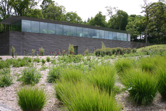
Mount Stuart visitor centre
The Mount Stuart visitor centre on the Bute estate, near Rothsay on the Island of Bute was designed by the architect Alfred Munkenbeck of Munkenbeck +...
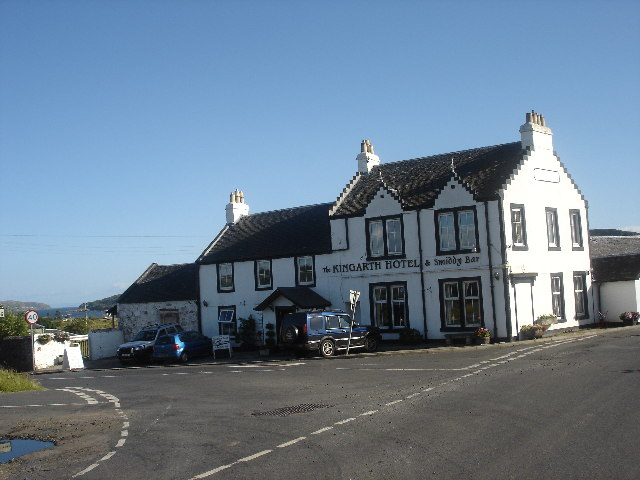
Kingarth
Kingarth (Old Irish: Cenn Garad; Scottish Gaelic: Ceann a' Gharaidh) is a historic village and parish on the Isle of Bute, off the coast of south-western...

Kilchattan Bay
Kilchattan Bay is a village on the Isle of Bute, Scotland. It lies on the island's southern end, along the coast road at the foot of a steep hill called...
Have you been to Kerrylamont Shore Belt?
Leave your review of Kerrylamont Shore Belt below (or comments, questions and feedback).