Glenhie Plantation

Wood, Forest in Wigtownshire

Scotland

Glenhie Plantation

Ardwell House, Ardwell, Wigtownshire The estate house at Ardwell owned by and occupied by the Brewis family.
Ardwell House, Ardwell, Wigtownshire Credit: Colin McDonald

Glenhie Plantation is a picturesque woodland located in Wigtownshire, Scotland. Spread over an area of approximately 200 acres, this forested area is known for its diverse range of trees and stunning natural beauty.

The plantation is primarily composed of mixed deciduous and coniferous trees, including oak, birch, beech, and Sitka spruce. This combination creates a rich and vibrant ecosystem, providing habitats for a variety of bird species, small mammals, and woodland flora. The forest floor is adorned with bluebells, ferns, and moss, adding to its enchanting ambiance.

Visitors to Glenhie Plantation can explore the area through a network of well-maintained trails that wind through the woods. These paths offer a chance to immerse oneself in nature, taking in the sights and sounds of the woodland. The forest is particularly popular among hikers, nature enthusiasts, and photographers who seek to capture its natural beauty.

In addition to its recreational value, Glenhie Plantation also serves as a sustainable source of timber. Managed by forestry professionals, the woodland is carefully monitored and maintained to ensure a healthy and sustainable growth of trees. This sustainable approach helps preserve the natural ecosystem while also providing a renewable resource for the local economy.

Overall, Glenhie Plantation is a scenic and ecologically diverse woodland that offers visitors a chance to connect with nature. With its well-maintained trails, abundant wildlife, and stunning flora, it is no wonder that this forested area is a favorite destination for those seeking a peaceful retreat or an opportunity to explore Scotland's natural beauty.

If you have any feedback on the listing, please let us know in the comments section below.

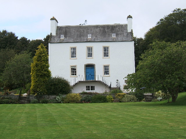
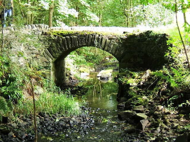
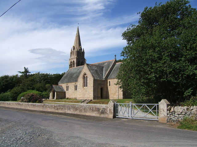
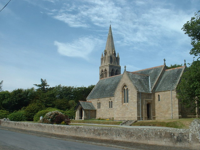
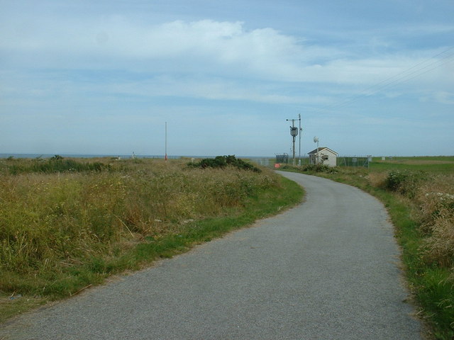
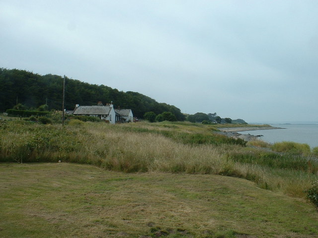
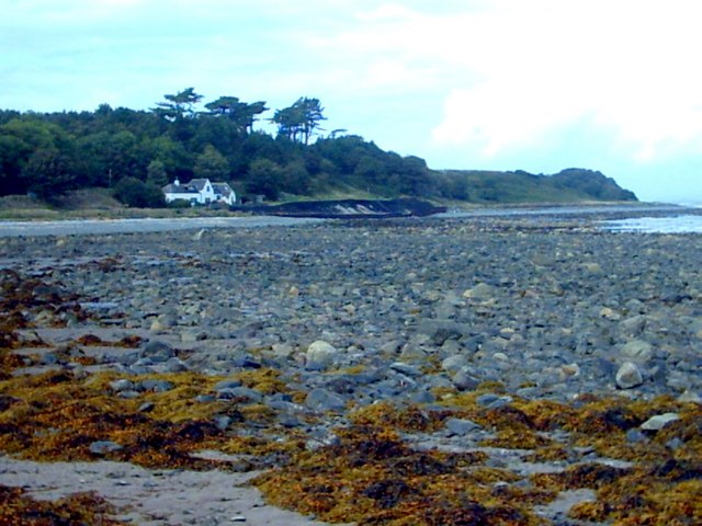
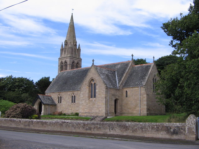
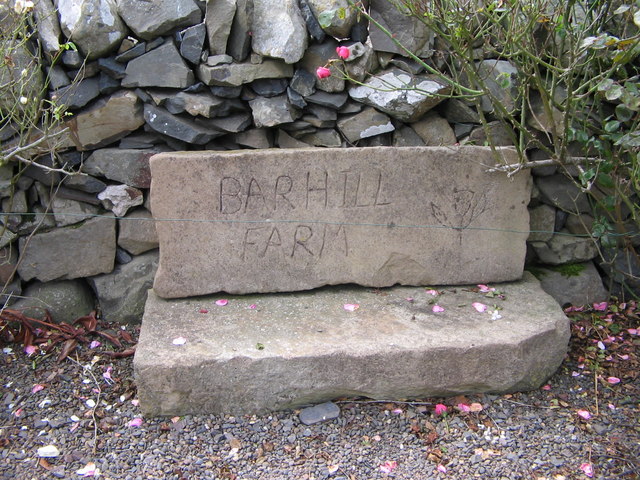
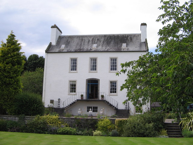
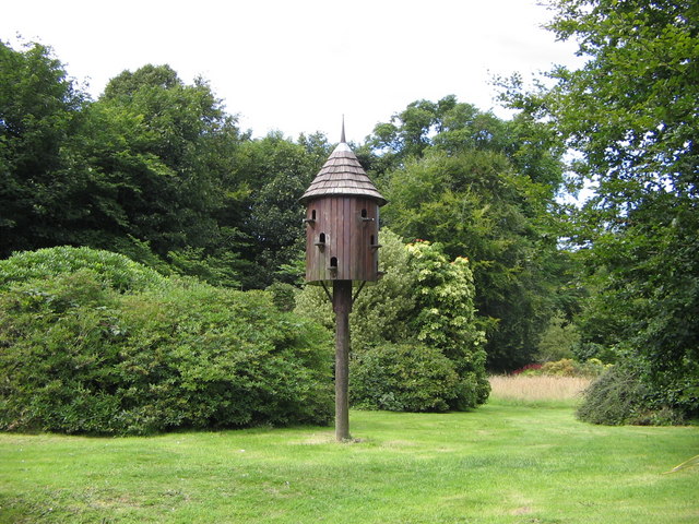
Glenhie Plantation Images

Images are sourced within 2km of 54.780255/-4.9701007 or Grid Reference NX0946. Thanks to Geograph Open Source API. All images are credited.

Ardwell House, Ardwell, Wigtownshire The estate house at Ardwell owned by and occupied by the Brewis family.
Ardwell House, Ardwell, Wigtownshire
The estate house at Ardwell owned by and occupied by the Brewis family.
An old cartpath and bridge within Ardwell Estate This old bridge is close to Ardwell houses, Ardwell, about 10 miles South of Stranraer.
An old cartpath and bridge within Ardwell Estate
This old bridge is close to Ardwell houses, Ardwell, about 10 miles South of Stranraer.
Ardwell Church, Ardwell, Stranraer Ardwell Church, Ardwell, Stranraer built in 1902.
Ardwell Church, Ardwell, Stranraer
Ardwell Church, Ardwell, Stranraer built in 1902.
Ardwell Church
Ardwell Church
Lane near Ardwell Church On the opposite side of the road, running south.
Lane near Ardwell Church
On the opposite side of the road, running south.
MoD Lookout on Luce Bay There is a barrier here, restricting access to the shore when military activities are underway.
MoD Lookout on Luce Bay
There is a barrier here, restricting access to the shore when military activities are underway.
Drumantrae On the shore of Luce Bay, looking north.
Drumantrae
On the shore of Luce Bay, looking north.
The Dyemill, Near Sandhead Now a private dwelling, the Dye Mill was once powered by the Alwhibbie Burn to mill seaweed and obtain a brown dye.  Seaweed was one of Scotland's most valuable natural resources.
The Dyemill, Near Sandhead
Now a private dwelling, the Dye Mill was once powered by the Alwhibbie Burn to mill seaweed and obtain a brown dye. Seaweed was one of Scotland's most valuable natural resources.
Summer on the Mull Of Galloway
Ardwell Church
Ardwell Church
Carved farm sign for Barhill farm
Ardwell House The house was built in the early 18th century. It has been in the McTaggart family since before 1800.
Ardwell House
The house was built in the early 18th century. It has been in the McTaggart family since before 1800.
Carved stone family crest This owl carving is the crest of the MacTaggart family owners of Ardwell House
Carved stone family crest
This owl carving is the crest of the MacTaggart family owners of Ardwell House
Ardwell House dovecot
Ardwell Church - Church of Scotland. Ardwell Church of Scotland church.  The photograph was taken on a thundery day.
Ardwell Church - Church of Scotland.
Ardwell Church of Scotland church. The photograph was taken on a thundery day.
Farmland near Ardwell Mill
Footbridge on the Ardwell Pond Walk Ardwell Pond Walk, a gentle stroll of 1½ miles.
Footbridge on the Ardwell Pond Walk
Ardwell Pond Walk, a gentle stroll of 1½ miles.
Killaser Burn, Ardwell Viewed from the Ardwell Pond Walk (1½ miles).
Killaser Burn, Ardwell
Viewed from the Ardwell Pond Walk (1½ miles).
Show me another place!

Glenhie Plantation is located at Grid Ref: NX0946 (Lat: 54.780255, Lng: -4.9701007)

Unitary Authority: Dumfries and Galloway

Police Authority: Dumfries and Galloway

What 3 Words

///competing.verse.stay. Near Drummore, Dumfries & Galloway

Related Wikis

Clachanmore

Clachanmore is a village in the South Rhins of Galloway near Ardwell in the south west of Scotland. It has also been known as Low Ardwell.The name of the...

Ardwell

Ardwell (from Gaelic Àrd Bhaile meaning "high town", pronounced as "Ardwell") is a village in the Scottish unitary council area of Dumfries and Galloway...

Sandhead

Sandhead is a small village in Dumfries and Galloway, south west Scotland. It overlooks Luce Bay, 7 miles south of Stranraer. The old main road, named...

Doon Castle Broch

Doon Castle Broch is an iron-age broch located in Dumfries and Galloway, Scotland (grid reference NX 06702 44683). == Location == The Broch is located...

Logan Botanic Garden

Logan Botanic Garden is a botanical garden near Port Logan on the Rhins of Galloway, at the south-western tip of Scotland. The Botanic Garden was established...

Stoneykirk

Stoneykirk (Scottish Gaelic: Eaglais Steafain) is an area and a village in the heart of the Rhins of Galloway, Wigtownshire, in the administrative council...

Port Logan

Port Logan, formerly Port Nessock, is a small village in the parish of Kirkmaiden in the Rhins of Galloway in Wigtownshire. The Gaelic name is Port Neasaig...

RAF West Freugh

RAF West Freugh is a former Royal Air Force station located in Wigtownshire, 5 miles (8 km) south east of Stranraer, Dumfries and Galloway, Scotland. It...

Nearby Amenities

Located within 500m of 54.780255,-4.9701007
Barnunan Hill
Place: locality
Lat/Long: 54.7803857/-4.9655936
Power: pole
Lat/Long: 54.7786502/-4.9772814
Power: pole
Lat/Long: 54.7795505/-4.9773699
Power: pole
Lat/Long: 54.7805173/-4.9774584
Power: pole
Lat/Long: 54.7812397/-4.9775147
Power: pole
Lat/Long: 54.7825369/-4.9636683
Power: pole
Lat/Long: 54.7818611/-4.9634044
Power: pole
Lat/Long: 54.7811484/-4.9631095
Power: pole
Lat/Long: 54.7804726/-4.9628166
Power: pole
Lat/Long: 54.7797786/-4.9625339
Power: pole
Lat/Long: 54.776179/-4.9729598
Power: pole
Lat/Long: 54.7765371/-4.9733149
Power: pole
Lat/Long: 54.7768046/-4.9736214
Power: pole
Lat/Long: 54.7771649/-4.973959
Power: pole
Lat/Long: 54.7832619/-4.9651661
Power: pole
Lat/Long: 54.783234/-4.9663322
Power: pole
Lat/Long: 54.7832004/-4.9675079
Power: pole
Lat/Long: 54.783112/-4.9686468
Power: pole
Lat/Long: 54.7830359/-4.9698303
Power: pole
Lat/Long: 54.7829688/-4.9708644
Power: pole
Lat/Long: 54.7827585/-4.9716968
Power: pole
Lat/Long: 54.7824541/-4.972824
Power: pole
Lat/Long: 54.7821957/-4.9737805
Power: pole
Lat/Long: 54.7820088/-4.9744344
Power: pole
Lat/Long: 54.7818097/-4.9752046
Power: pole
Lat/Long: 54.7817168/-4.9755597
Power: pole
Lat/Long: 54.7823993/-4.9740987
The data included in this document is from www.openstreetmap.org. The data is made available under ODbL.

Have you been to Glenhie Plantation?

Leave your review of Glenhie Plantation below (or comments, questions and feedback).