Barnunan Hill

Hill, Mountain in Wigtownshire

Scotland

Barnunan Hill

Ardwell House, Ardwell, Wigtownshire The estate house at Ardwell owned by and occupied by the Brewis family.
Ardwell House, Ardwell, Wigtownshire Credit: Colin McDonald

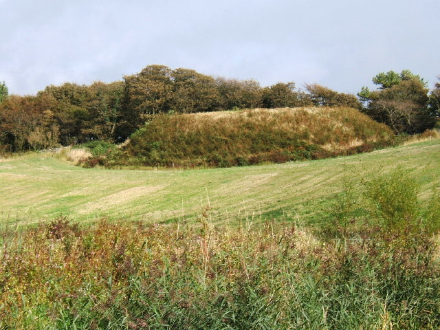
Barnunan Hill is a prominent hill located in the region of Wigtownshire, in southwest Scotland. Rising to an elevation of approximately 266 meters (873 feet), it is considered a notable feature in the local landscape.

Situated near the village of Kirkcowan, Barnunan Hill offers picturesque views of the surrounding countryside and is a popular destination for outdoor enthusiasts and nature lovers. Its location within the Galloway Forest Park, one of the largest forest parks in the United Kingdom, adds to its appeal.

The hill is characterized by its gentle slopes, which make it accessible to both experienced hikers and casual walkers. There are various paths and trails that lead to the summit, providing visitors with different options to explore this natural gem. Along the way, visitors can encounter diverse flora and fauna, including heather, bracken, and a variety of bird species.

Once at the top, visitors are rewarded with panoramic vistas of the surrounding area, including the nearby Cree Estuary and the Galloway Hills in the distance. On clear days, the views can stretch as far as the Irish Sea.

Barnunan Hill is not only valued for its natural beauty but also for its historical significance. The hill is home to several ancient sites, including burial cairns and standing stones, which provide insights into the area's past.

Overall, Barnunan Hill offers a tranquil and scenic escape for those seeking to immerse themselves in the breathtaking landscapes and rich history of Wigtownshire.

If you have any feedback on the listing, please let us know in the comments section below.

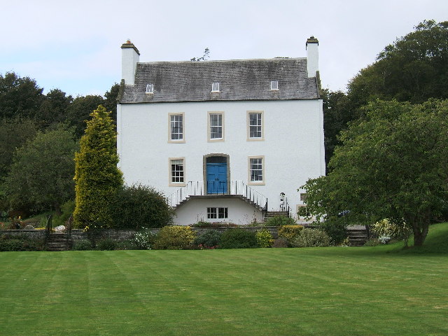
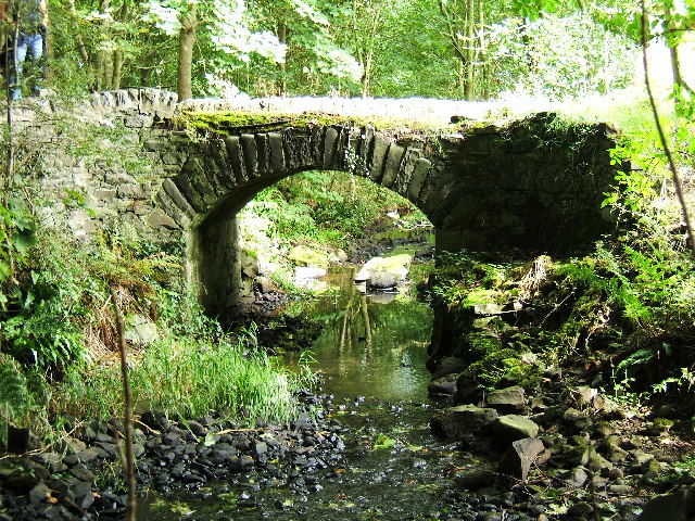
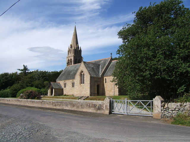
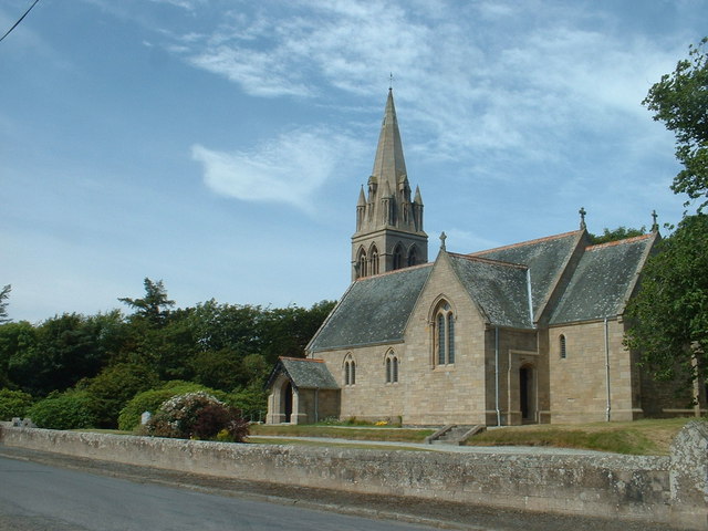
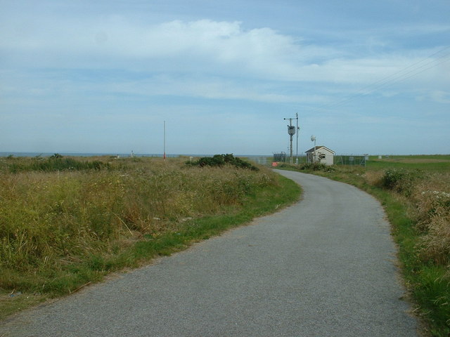
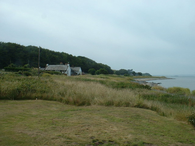
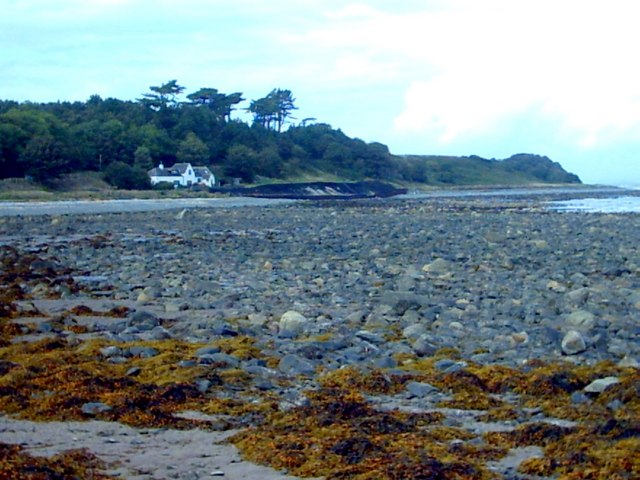
Barnunan Hill Images

Images are sourced within 2km of 54.781016/-4.9654901 or Grid Reference NX0946. Thanks to Geograph Open Source API. All images are credited.

Ardwell House, Ardwell, Wigtownshire The estate house at Ardwell owned by and occupied by the Brewis family.
Ardwell House, Ardwell, Wigtownshire
The estate house at Ardwell owned by and occupied by the Brewis family.
An old cartpath and bridge within Ardwell Estate This old bridge is close to Ardwell houses, Ardwell, about 10 miles South of Stranraer.
An old cartpath and bridge within Ardwell Estate
This old bridge is close to Ardwell houses, Ardwell, about 10 miles South of Stranraer.
The remains of a Motte and Bailey castle, Ardwell, Stranraer These are all that remain of a Motte and Bailey castle within the grounds of Ardwell House, Ardwell, Stranraer. The modern OS maps have it marked as Ardwell Motte and the shape is unmistakable. When closer, the ditch around the Motte is still noticeable and in fact, the estate have built two wooden bridges over the ditch, one at either side of a marked walk.
The remains of a Motte and Bailey castle, Ardwell, Stranraer
These are all that remain of a Motte and Bailey castle within the grounds of Ardwell House, Ardwell, Stranraer. The modern OS maps have it marked as Ardwell Motte and the shape is unmistakable. When closer, the ditch around the Motte is still noticeable and in fact, the estate have built two wooden bridges over the ditch, one at either side of a marked walk.
Ardwell Church, Ardwell, Stranraer Ardwell Church, Ardwell, Stranraer built in 1902.
Ardwell Church, Ardwell, Stranraer
Ardwell Church, Ardwell, Stranraer built in 1902.
Ardwell Church
Ardwell Church
Lane near Ardwell Church On the opposite side of the road, running south.
Lane near Ardwell Church
On the opposite side of the road, running south.
MoD Lookout on Luce Bay There is a barrier here, restricting access to the shore when military activities are underway.
MoD Lookout on Luce Bay
There is a barrier here, restricting access to the shore when military activities are underway.
Drumantrae On the shore of Luce Bay, looking north.
Drumantrae
On the shore of Luce Bay, looking north.
The Dyemill, Near Sandhead Now a private dwelling, the Dye Mill was once powered by the Alwhibbie Burn to mill seaweed and obtain a brown dye.  Seaweed was one of Scotland's most valuable natural resources.
The Dyemill, Near Sandhead
Now a private dwelling, the Dye Mill was once powered by the Alwhibbie Burn to mill seaweed and obtain a brown dye. Seaweed was one of Scotland's most valuable natural resources.
Summer on the Mull Of Galloway
Ardwell Church
Ardwell Church
Carved farm sign for Barhill farm
Ardwell House The house was built in the early 18th century. It has been in the McTaggart family since before 1800.
Ardwell House
The house was built in the early 18th century. It has been in the McTaggart family since before 1800.
Carved stone family crest This owl carving is the crest of the MacTaggart family owners of Ardwell House
Carved stone family crest
This owl carving is the crest of the MacTaggart family owners of Ardwell House
Ardwell House dovecot
Ardwell Church - Church of Scotland. Ardwell Church of Scotland church.  The photograph was taken on a thundery day.
Ardwell Church - Church of Scotland.
Ardwell Church of Scotland church. The photograph was taken on a thundery day.
Ardwell Gardens pond Water lilies.
Ardwell Gardens pond
Water lilies.
Farmland near Ardwell Mill
Show me another place!

Barnunan Hill is located at Grid Ref: NX0946 (Lat: 54.781016, Lng: -4.9654901)

Unitary Authority: Dumfries and Galloway

Police Authority: Dumfries and Galloway

What 3 Words

///manhole.milky.grad. Near Drummore, Dumfries & Galloway

Related Wikis

Clachanmore

Clachanmore is a village in the South Rhins of Galloway near Ardwell in the south west of Scotland. It has also been known as Low Ardwell.The name of the...

Ardwell

Ardwell (from Gaelic Àrd Bhaile meaning "high town", pronounced as "Ardwell") is a village in the Scottish unitary council area of Dumfries and Galloway...

Sandhead

Sandhead is a small village in Dumfries and Galloway, south west Scotland. It overlooks Luce Bay, 7 miles south of Stranraer. The old main road, named...

Doon Castle Broch

Doon Castle Broch is an iron-age broch located in Dumfries and Galloway, Scotland (grid reference NX 06702 44683). == Location == The Broch is located...

Logan Botanic Garden

Logan Botanic Garden is a botanical garden near Port Logan on the Rhins of Galloway, at the south-western tip of Scotland. The Botanic Garden was established...

Stoneykirk

Stoneykirk (Scottish Gaelic: Eaglais Steafain) is an area and a village in the heart of the Rhins of Galloway, Wigtownshire, in the administrative council...

Port Logan

Port Logan, formerly Port Nessock, is a small village in the parish of Kirkmaiden in the Rhins of Galloway in Wigtownshire. The Gaelic name is Port Neasaig...

RAF West Freugh

RAF West Freugh is a former Royal Air Force station located in Wigtownshire, 5 miles (8 km) south east of Stranraer, Dumfries and Galloway, Scotland. It...

Nearby Amenities

Located within 500m of 54.781016,-4.9654901
Barnunan Hill
Place: locality
Lat/Long: 54.7803857/-4.9655936
Power: pole
Lat/Long: 54.784769/-4.9645977
Power: pole
Lat/Long: 54.7840283/-4.9642814
Power: pole
Lat/Long: 54.7833085/-4.9639855
Power: pole
Lat/Long: 54.7825369/-4.9636683
Power: pole
Lat/Long: 54.7818611/-4.9634044
Power: pole
Lat/Long: 54.7811484/-4.9631095
Power: pole
Lat/Long: 54.7804726/-4.9628166
Power: pole
Lat/Long: 54.7797786/-4.9625339
Power: pole
Lat/Long: 54.7791153/-4.9622636
Power: pole
Lat/Long: 54.7782358/-4.9623839
Power: pole
Lat/Long: 54.7773652/-4.962479
Power: pole
Lat/Long: 54.7801626/-4.9611209
Power: pole
Lat/Long: 54.780505/-4.9598869
Power: pole
Lat/Long: 54.7808597/-4.9585792
Power: pole
Lat/Long: 54.781051/-4.9579176
Power: pole
Lat/Long: 54.7832619/-4.9651661
Power: pole
Lat/Long: 54.783234/-4.9663322
Power: pole
Lat/Long: 54.7832004/-4.9675079
Power: pole
Lat/Long: 54.783112/-4.9686468
Power: pole
Lat/Long: 54.7830359/-4.9698303
Power: pole
Lat/Long: 54.7829688/-4.9708644
Power: pole
Lat/Long: 54.7827585/-4.9716968
Power: pole
Lat/Long: 54.7824541/-4.972824
The data included in this document is from www.openstreetmap.org. The data is made available under ODbL.

Have you been to Barnunan Hill?

Leave your review of Barnunan Hill below (or comments, questions and feedback).