Dail nam Forsairean
Wood, Forest in Inverness-shire
Scotland
Dail nam Forsairean
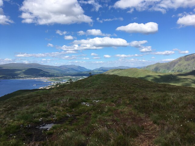
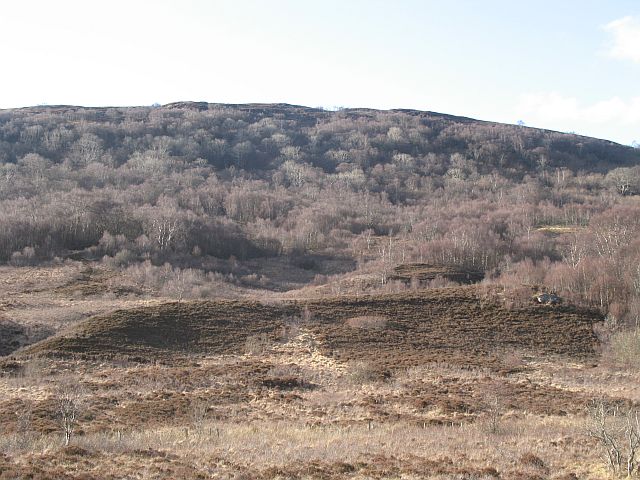
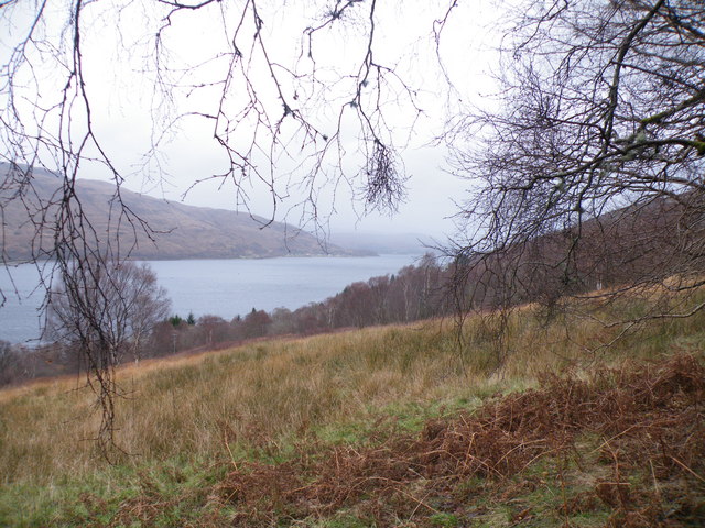
Dail nam Forsairean, located in Inverness-shire, Scotland, is a picturesque wood or forest area. Spread over a vast expanse, this natural wonder is renowned for its stunning beauty and rich biodiversity. The name "Dail nam Forsairean" translates to "Meadow of the Forsairean" in Gaelic, paying homage to the historical significance of the area.
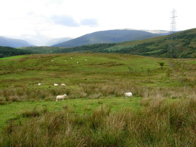
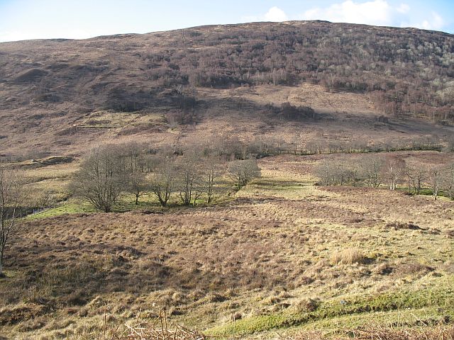
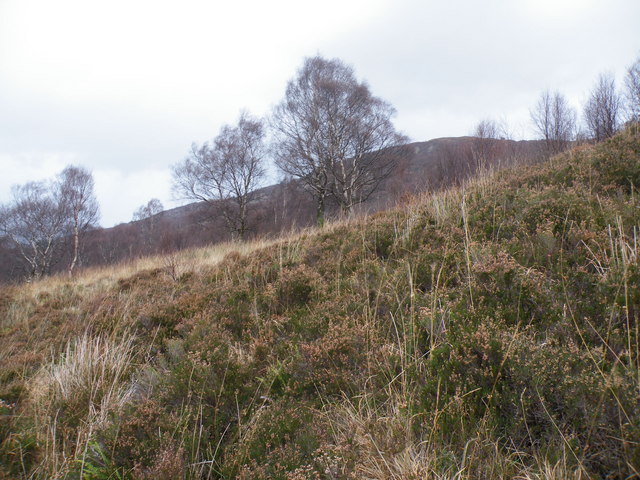
The wood boasts a diverse range of tree species, including native oaks, birches, and pines, which create a dense and verdant canopy. These trees provide a habitat for various wildlife species, making it a haven for nature enthusiasts and wildlife photographers. Visitors may have the opportunity to spot red deer, foxes, badgers, and an array of bird species, including buzzards and owls.
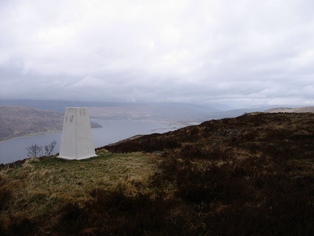
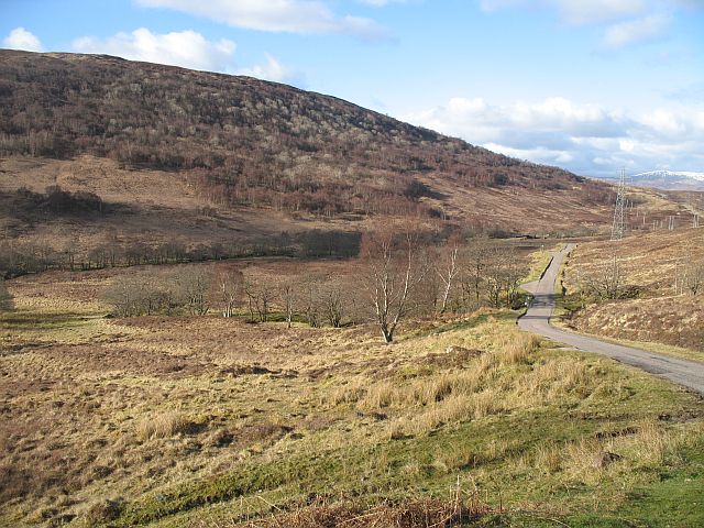
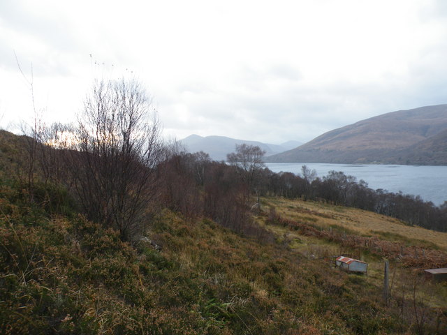
Traversing through Dail nam Forsairean, visitors can indulge in peaceful walks along its well-maintained trails. The pristine environment allows for a serene and tranquil experience, providing an ideal escape from the hustle and bustle of daily life. The wood's enchanting atmosphere and calming ambiance make it a popular destination for those seeking solace and a deeper connection with nature.
For those interested in the local history, Dail nam Forsairean holds a significant place in the cultural heritage of Inverness-shire. The area has witnessed human activity for centuries, and remnants of ancient settlements, such as stone circles and burial mounds, can still be found within its boundaries. These archaeological features offer a glimpse into the lives and rituals of the past, adding an extra layer of intrigue to the wood's allure.
Dail nam Forsairean in Inverness-shire truly captures the essence of Scotland's natural beauty, providing a haven for both wildlife and visitors alike.
If you have any feedback on the listing, please let us know in the comments section below.
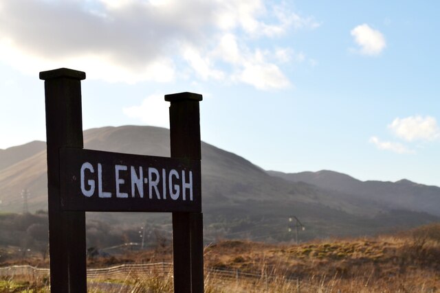
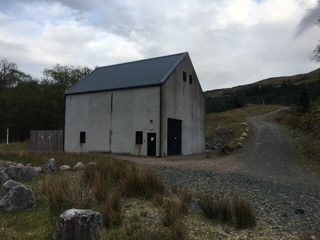
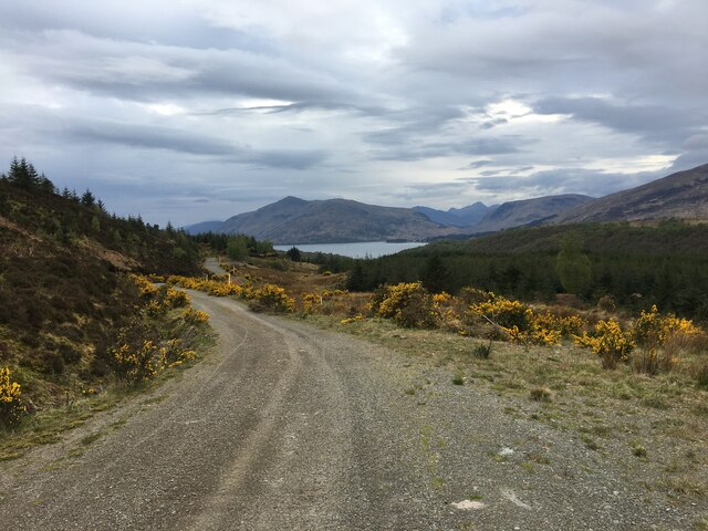
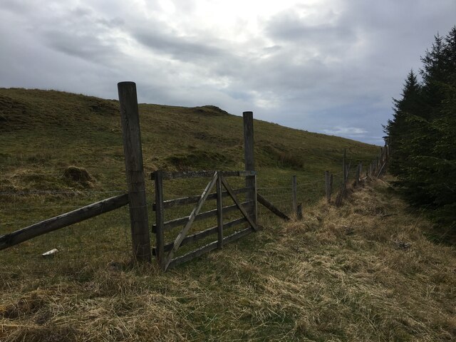
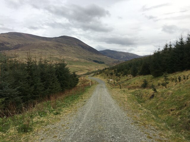
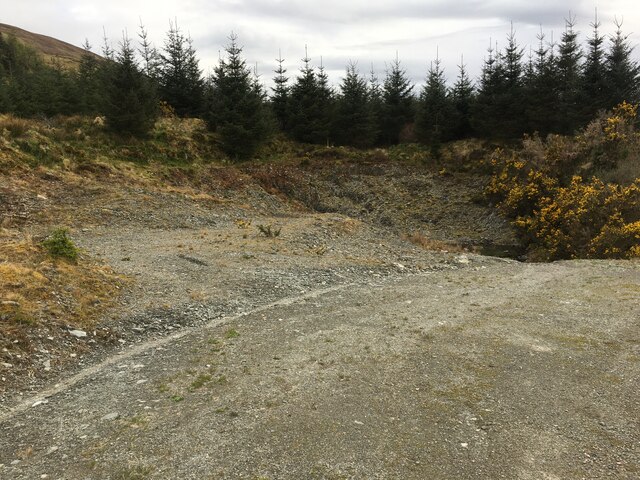
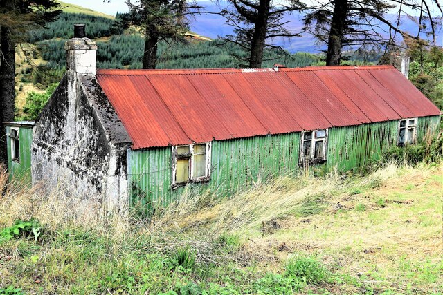
Dail nam Forsairean Images
Images are sourced within 2km of 56.777523/-5.1251388 or Grid Reference NN0969. Thanks to Geograph Open Source API. All images are credited.
Dail nam Forsairean is located at Grid Ref: NN0969 (Lat: 56.777523, Lng: -5.1251388)
Unitary Authority: Highland
Police Authority: Highlands and Islands
What 3 Words
///fans.firework.necks. Near Fort William, Highland
Nearby Locations
Related Wikis

Blarmachfoldach
Blarmachfoldach (or Blàr Mac Faoilteach; Blàrmacfaoltach) is a small crofting settlement in Lochaber, in the Highland council area of Scotland. It is located...

Druimarben
Druimarben (Scottish Gaelic: Druim Earbainn) is a hamlet on the east shore of Loch Linnhe in Inverness-shire, Scottish Highlands and is in the Scottish...

Ach' An Todhair
Ach' An Todhair is a small hamlet on the shore of Loch Linnhe in the Highland council area, Scotland. It is located along the A82 road directly south of...
Stronchreggan
Stronchreggan (Scottish Gaelic: Sròn a' Chritheagain) is a scattered coastal hamlet, on the north eastern shores of Loch Linnhe, and is situated directly...

HMS St Christopher (shore establishment)
HMS St Christopher was a Coastal Forces training base of the Royal Navy operational during the Second World War and located in and around Fort William...

Mullach nan Coirean
Mullach nan Coirean (Scottish Gaelic for 'summit of the corries') or Sgùrr a' Chaorainn ('peak of the rowan') is one of the Mamores mountains in the Scottish...

West Highland Museum
The West Highland Museum (Scottish Gaelic: Taigh-tasgaidh na Gàidhealtachd an Iar) tells the story of the Scottish Highlands and the Islands. It aims to...

Belford Hospital
Belford Hospital, locally known as The Belford, is a rural general hospital in Fort William, Lochaber, Scotland. It is managed by NHS Highland. == History... ==
Nearby Amenities
Located within 500m of 56.777523,-5.1251388Have you been to Dail nam Forsairean?
Leave your review of Dail nam Forsairean below (or comments, questions and feedback).