Glen Plantation
Wood, Forest in Wigtownshire
Scotland
Glen Plantation
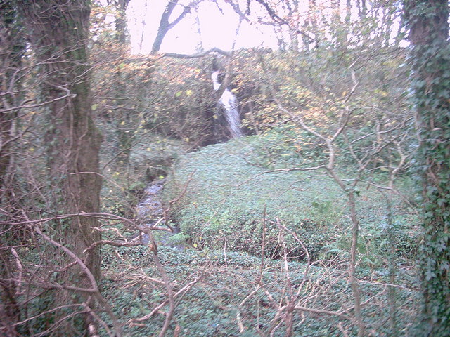
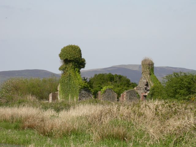
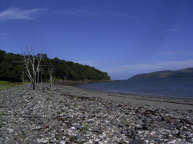
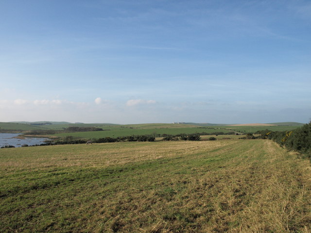
Glen Plantation, situated in Wigtownshire, Scotland, is a stunning wood or forest that captivates visitors with its natural beauty. Spanning over a vast area, the plantation offers a remarkable landscape that is rich in biodiversity and history.
The plantation boasts a diverse range of tree species, including towering oaks, majestic beeches, and aromatic pines. These trees create a dense canopy that provides shade and shelter to an array of wildlife. The forest floor is adorned with a lush carpet of ferns, wildflowers, and mosses, adding to its enchanting atmosphere.
Traversing through Glen Plantation, visitors can explore a network of well-maintained walking trails. These paths meander through the woodland, guiding visitors to discover hidden gems such as picturesque streams, tranquil ponds, and ancient stone ruins. As visitors wander along the trails, they may be fortunate enough to spot some of the local wildlife, including deer, squirrels, and a wide variety of bird species.
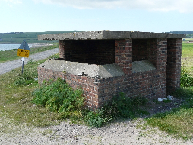
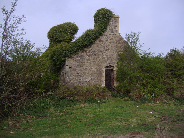
The history of Glen Plantation is also a significant draw for visitors. It is believed that the forest has been present for centuries, with evidence of human activity in the area dating back to ancient times. The plantation has witnessed the passage of time and has served various purposes throughout history, including timber production and recreational activities.
Overall, Glen Plantation in Wigtownshire offers a captivating experience for nature enthusiasts and history buffs alike. With its diverse flora and fauna, picturesque trails, and rich historical background, it is a must-visit destination for those seeking a deep connection with nature and a glimpse into the past.
If you have any feedback on the listing, please let us know in the comments section below.
Glen Plantation Images
Images are sourced within 2km of 54.975275/-5.0816936 or Grid Reference NX0268. Thanks to Geograph Open Source API. All images are credited.


Glen Plantation is located at Grid Ref: NX0268 (Lat: 54.975275, Lng: -5.0816936)
Unitary Authority: Dumfries and Galloway
Police Authority: Dumfries and Galloway
What 3 Words
///sculpting.pockets.position. Near Cairnryan, Dumfries & Galloway
Nearby Locations
Related Wikis

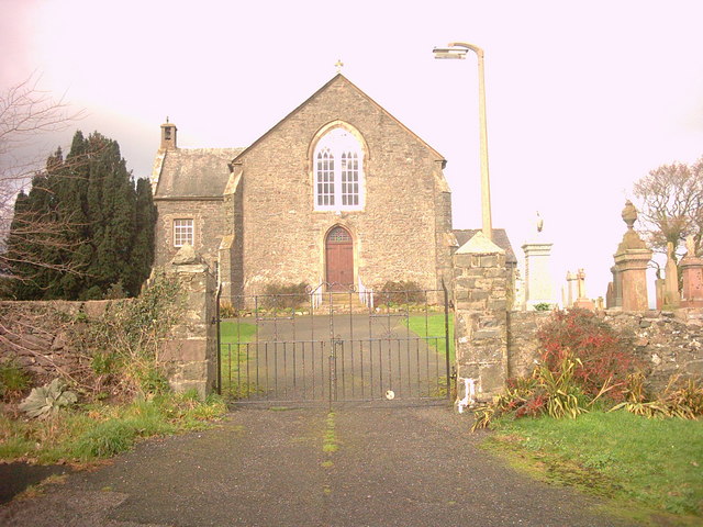
Kirkcolm
Kirkcolm (Scots: Kirkcoam) is a village and civil parish on the northern tip of the Rhinns of Galloway peninsula, south-west Scotland. It is in Dumfries...

RAF Wig Bay
Royal Air Force Wig Bay, or more simply RAF Wig Bay, is a former Royal Air Force station near Stranraer, Dumfries and Galloway, Scotland The following...

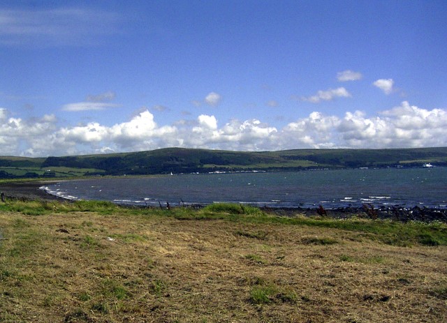
Loch Ryan
Loch Ryan (Scottish Gaelic: Loch Rìoghaine, pronounced [l̪ˠɔx ˈrˠiː.ɛɲə]) is a Scottish sea loch that acts as an important natural harbour for shipping...
Cairnryan Harbour
Cairnryan Harbour is a roll-on ferry terminal on Loch Ryan in south west Scotland north of Stranraer. In World War II it was developed as an emergency...
Ervie
Ervie is a small village in Dumfries and Galloway, Scotland, in the Rhins of Galloway, just outside Stranraer.

Cairnryan
Cairnryan (Scots: The Cairn; Scottish Gaelic: Càrn Rìoghain or Machair an Sgithich) is a village in the historical county of Wigtownshire, Dumfries and...
Leswalt
Leswalt (Scottish Gaelic: Lios Uillt) is a village and civil parish in Dumfries and Galloway, south-west Scotland. It lies between Portpatrick and Stranraer...

Corsewall Point
Corsewall Point, or Corsill Point, is a headland on the northwest coast of Wigtownshire, Kirkcolm near Stranraer, Dumfries and Galloway, Scotland. A lighthouse...
Nearby Amenities
Located within 500m of 54.975275,-5.0816936Have you been to Glen Plantation?
Leave your review of Glen Plantation below (or comments, questions and feedback).