Clayhill Plantation

Wood, Forest in Wigtownshire

Scotland

Clayhill Plantation

Corsewall Mill Waterfall This waterfall used to power the waterwheel at Corsewall Mill before it was demolished. It is just outside Kirkcolm.
Corsewall Mill Waterfall Credit: Bill Allen

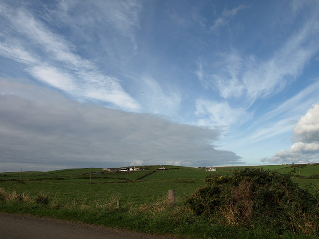
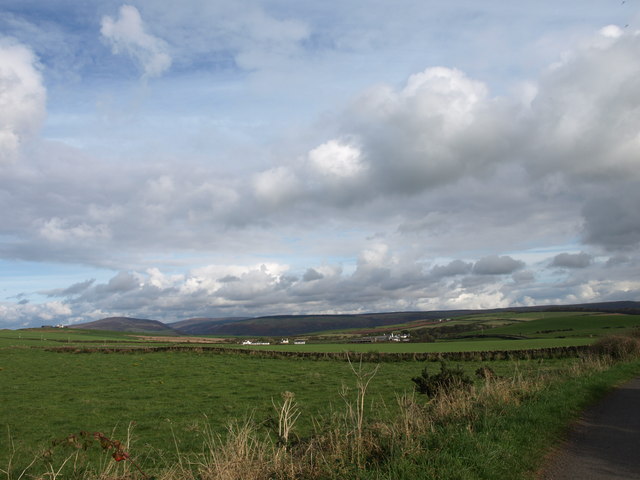
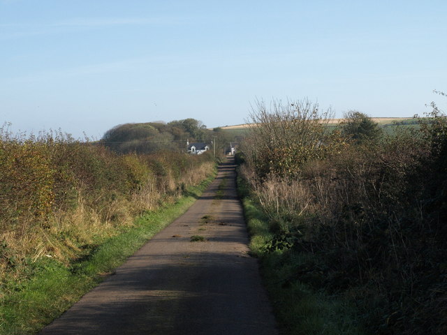
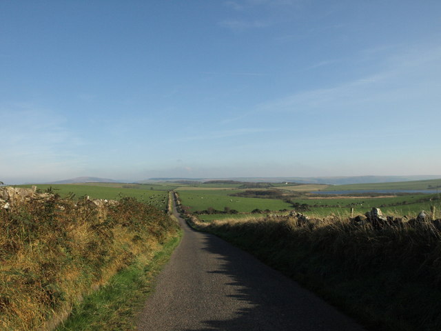
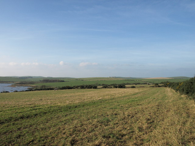
Clayhill Plantation is a picturesque woodland located in Wigtownshire, a historic county in southwestern Scotland. Covering an area of approximately 500 acres, it is known for its dense forests, diverse wildlife, and tranquil atmosphere.

The plantation is predominantly composed of various species of broadleaf trees, such as oak, beech, and ash, which create a rich and vibrant canopy. These trees, some of which are several centuries old, provide a habitat for a wide range of flora and fauna. Visitors to Clayhill Plantation can expect to see a plethora of woodland flowers, including bluebells, primroses, and wood anemones, adding bursts of color to the landscape during the spring and summer months.

Wildlife enthusiasts will also find much to admire at Clayhill Plantation. The woodland is home to a variety of bird species, including woodpeckers, owls, and various songbirds. Roe deer and red squirrels are frequently spotted among the trees, while badgers and foxes can sometimes be glimpsed darting through the undergrowth. Additionally, the plantation boasts a small pond that attracts a diverse range of amphibians and insects.

For those seeking a peaceful escape, Clayhill Plantation offers numerous walking trails and picnic areas. The enchanting surroundings make it an ideal spot for nature lovers, hikers, and families alike. Whether one wishes to explore the woodland's many paths or simply relax and enjoy the tranquility, Clayhill Plantation is sure to provide a memorable experience for all who visit.

If you have any feedback on the listing, please let us know in the comments section below.

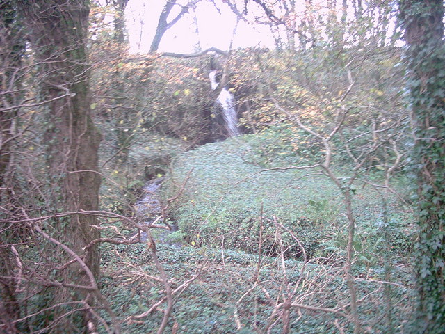
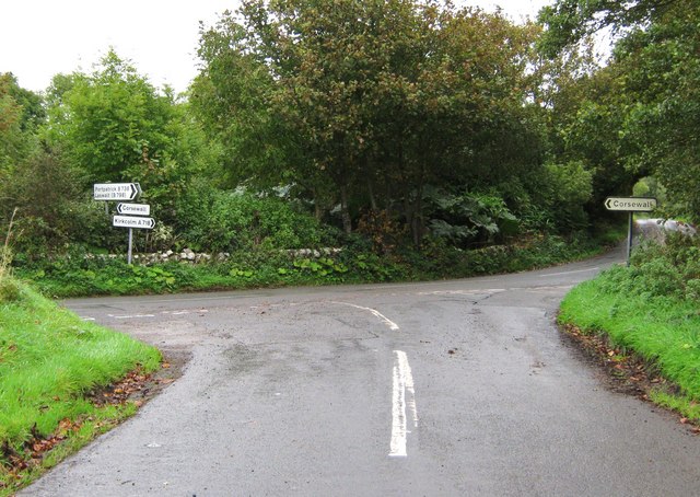
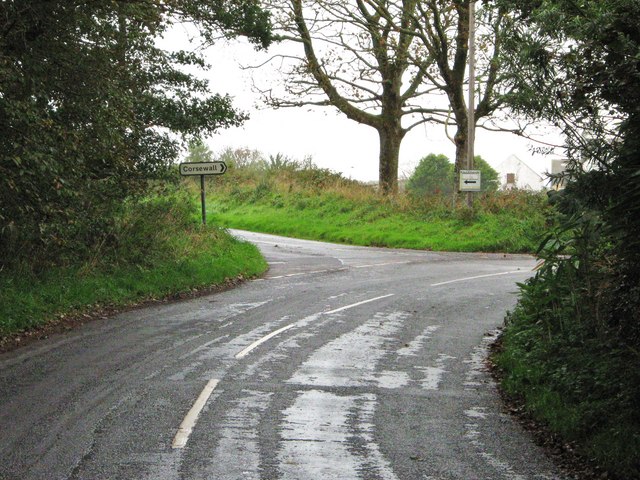
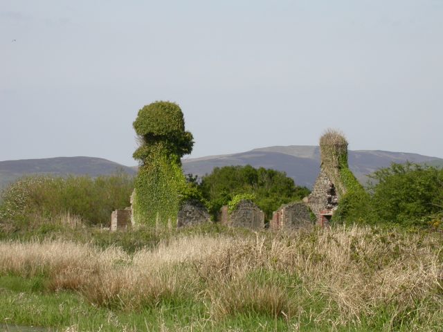
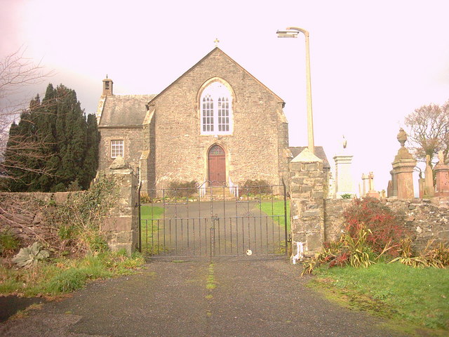
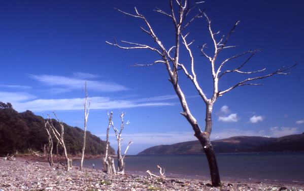
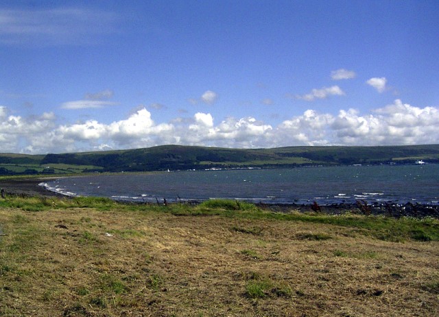
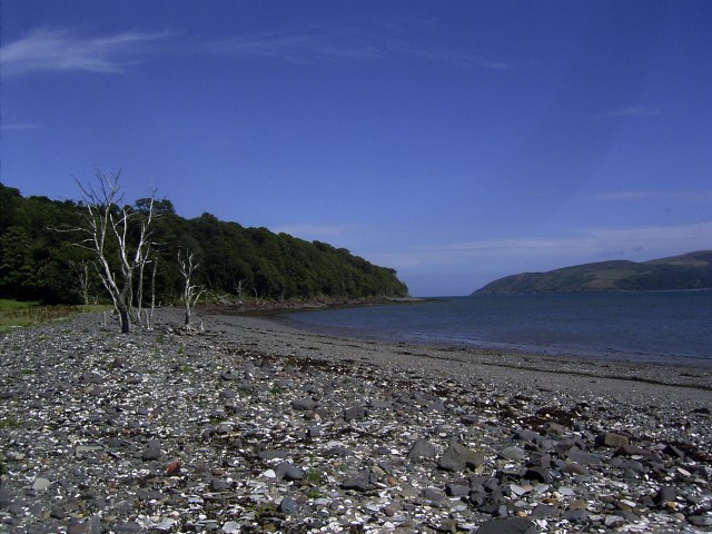
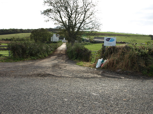
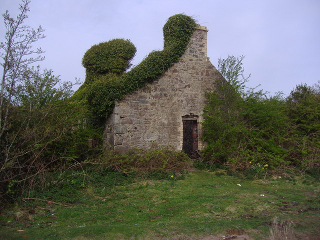
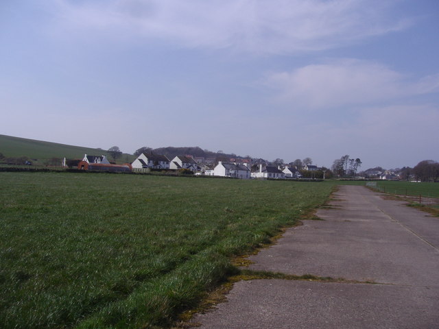
Clayhill Plantation Images

Images are sourced within 2km of 54.974412/-5.089802 or Grid Reference NX0268. Thanks to Geograph Open Source API. All images are credited.

Corsewall Mill Waterfall This waterfall used to power the waterwheel at Corsewall Mill before it was demolished. It is just outside Kirkcolm.
Corsewall Mill Waterfall
This waterfall used to power the waterwheel at Corsewall Mill before it was demolished. It is just outside Kirkcolm.
Road junction, near Kirkcolm The road to the right is the A718 to Kirkcolm and the one to the left is a minor one to Corsewall.  The view is taken from the B738.
Road junction, near Kirkcolm
The road to the right is the A718 to Kirkcolm and the one to the left is a minor one to Corsewall. The view is taken from the B738.
Junction of three roads Turn left for Portpatrick and right for Corsewall.
Junction of three roads
Turn left for Portpatrick and right for Corsewall.
Ruined house beside Loch Ryan
Kirkcolm Church Kirkcolm Church taken from the other side of Church Hill (the road in front of the church). In the grounds is the Kilmorie Cross which was carved in the 10th century.
Kirkcolm Church
Kirkcolm Church taken from the other side of Church Hill (the road in front of the church). In the grounds is the Kilmorie Cross which was carved in the 10th century.
Shore of Loch Ryan Nr Kirkcolm These dead trees on the shore of Loch Ryan make a great photo opportunity. The beach is covered with large shells.
Shore of Loch Ryan Nr Kirkcolm
These dead trees on the shore of Loch Ryan make a great photo opportunity. The beach is covered with large shells.
Loch Ryan Shore
Loch Ryan Shore
Kircolm Rush Hour Even the bus stop is so laid back it's screwed to the front of the house....
Kircolm Rush Hour
Even the bus stop is so laid back it's screwed to the front of the house....
Farmland, The Rhins Wellhouse farm on the left.
Farmland, The Rhins
Wellhouse farm on the left.
Farmland, The Rhins Looking towards Mahaar farm.
Farmland, The Rhins
Looking towards Mahaar farm.
Dalkest Farm, The Rhins
Marslauch, The Rhins
Loch Connell road, The Rhins
Loch Connell, The Rhins
Observation Post Disused lookout on the shore of Loch Ryan, where seaplanes landed during World War II.
Observation Post
Disused lookout on the shore of Loch Ryan, where seaplanes landed during World War II.
Ruined house on the shores of Loch Ryan This is a ruined house which stands at the end of a track leading from Kirkcolm to the shores of Loch Ryan.
Ruined house on the shores of Loch Ryan
This is a ruined house which stands at the end of a track leading from Kirkcolm to the shores of Loch Ryan.
Village of Kirkcolm taken from the disused airfield This view of Kirkcolm shows the outskirts of the village. The view is looking north.
Village of Kirkcolm taken from the disused airfield
This view of Kirkcolm shows the outskirts of the village. The view is looking north.
Show me another place!

Clayhill Plantation is located at Grid Ref: NX0268 (Lat: 54.974412, Lng: -5.089802)

Unitary Authority: Dumfries and Galloway

Police Authority: Dumfries and Galloway

What 3 Words

///riskiest.digital.sweetener. Near Cairnryan, Dumfries & Galloway

Related Wikis

Kirkcolm

Kirkcolm (Scots: Kirkcoam) is a village and civil parish on the northern tip of the Rhinns of Galloway peninsula, south-west Scotland. It is in Dumfries...

RAF Wig Bay

Royal Air Force Wig Bay, or more simply RAF Wig Bay, is a former Royal Air Force station near Stranraer, Dumfries and Galloway, Scotland The following...

Ervie

Ervie is a small village in Dumfries and Galloway, Scotland, in the Rhins of Galloway, just outside Stranraer.

Loch Ryan

Loch Ryan (Scottish Gaelic: Loch Rìoghaine, pronounced [l̪ˠɔx ˈrˠiː.ɛɲə]) is a Scottish sea loch that acts as an important natural harbour for shipping...

Nearby Amenities

Located within 500m of 54.974412,-5.089802
Bus Stop
Bayview Terr
Naptan AtcoCode: 680000284222
Naptan Bearing: NW
Naptan CommonName: Bayview Terr
Naptan Indicator: Church
Naptan Landmark: Church
Naptan NaptanCode: 34234782
Naptan Notes: none
Naptan Street: Bayview Terrace
Naptan Verified: no
Source: naptan_import
Lat/Long: 54.973224/-5.0834832
Place: farm
Lat/Long: 54.9730399/-5.0915485
Power: pole
Lat/Long: 54.9730401/-5.0919968
Power: pole
Lat/Long: 54.9734619/-5.092831
Power: pole
Lat/Long: 54.9743379/-5.0945127
Power: pole
Lat/Long: 54.9747227/-5.0952798
Power: pole
Lat/Long: 54.9751507/-5.0960845
Power: pole
Lat/Long: 54.9756679/-5.0971198
Turning Circle
Lat/Long: 54.9734642/-5.0852196
Historic: memorial
Memorial: war_memorial
Lat/Long: 54.9734631/-5.083525
The data included in this document is from www.openstreetmap.org. The data is made available under ODbL.

Have you been to Clayhill Plantation?

Leave your review of Clayhill Plantation below (or comments, questions and feedback).