Wee Kirk Hill

Hill, Mountain in Wigtownshire

Scotland

Wee Kirk Hill

Corsewall Mill Waterfall This waterfall used to power the waterwheel at Corsewall Mill before it was demolished. It is just outside Kirkcolm.
Corsewall Mill Waterfall Credit: Bill Allen

Wee Kirk Hill, located in Wigtownshire, is a small hill or mountain that stands proudly in the landscape of southern Scotland. With an elevation of approximately 132 meters (433 feet), it may not be the tallest hill in the area, but it still offers stunning panoramic views of the surrounding countryside.

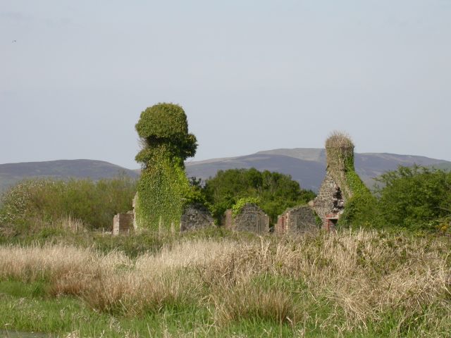
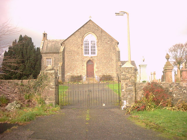
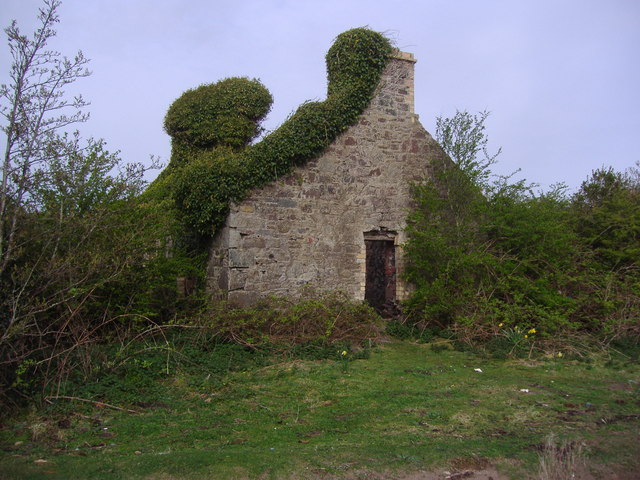
Situated near the village of Kirkinner, Wee Kirk Hill is known for its picturesque beauty and historical significance. The name "Wee Kirk" refers to the remains of an ancient chapel that once stood on the hilltop. Although little of the original structure remains, the site is now marked by a small stone cairn, serving as a reminder of the area's religious past.

The hill is easily accessible, with a well-maintained footpath leading visitors to the summit. As one ascends, they are greeted by an assortment of wildflowers and the gentle rustling of the wind in the surrounding trees. The trail is relatively easy, making it suitable for hikers of all skill levels.

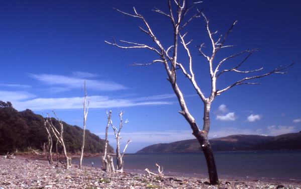
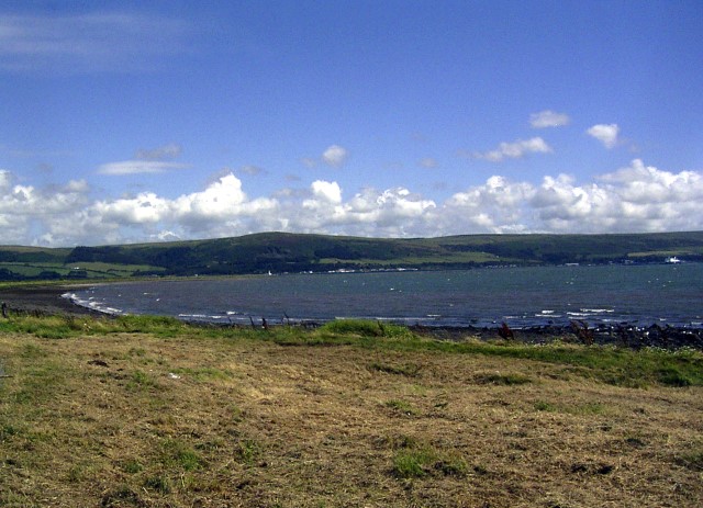
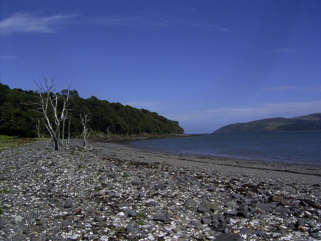
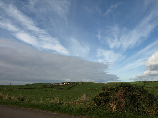
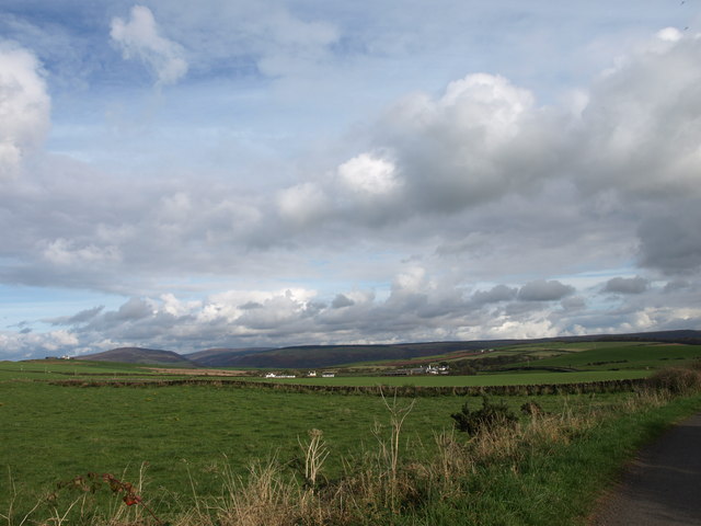
Reaching the top of Wee Kirk Hill rewards visitors with breathtaking vistas of the rolling Scottish countryside. On a clear day, one can see the distant hills, fields, and even the sparkling waters of the nearby coastline.

Wee Kirk Hill is a popular destination for walkers, nature enthusiasts, and history buffs alike. Its combination of natural beauty, tranquility, and historical significance makes it a must-visit location in Wigtownshire.

If you have any feedback on the listing, please let us know in the comments section below.

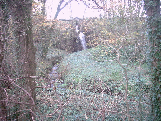
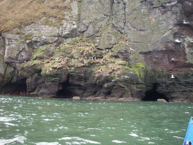
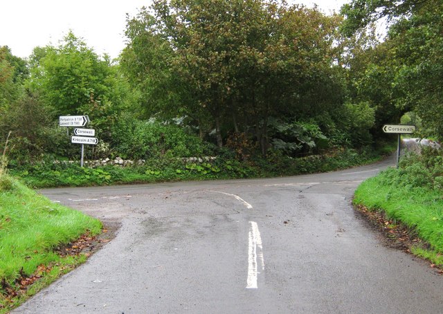
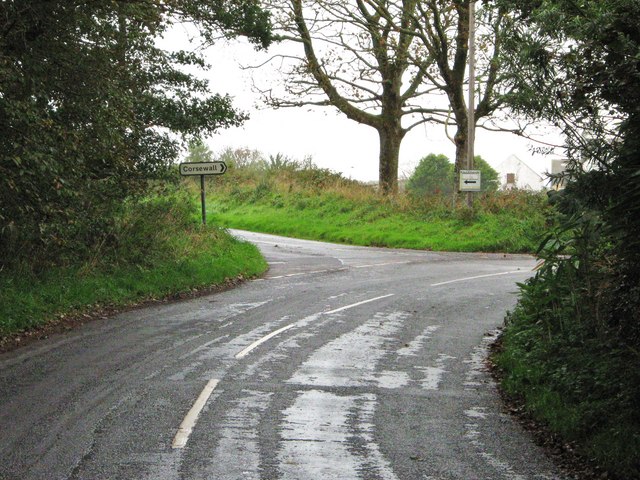
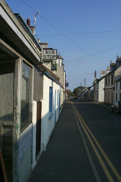
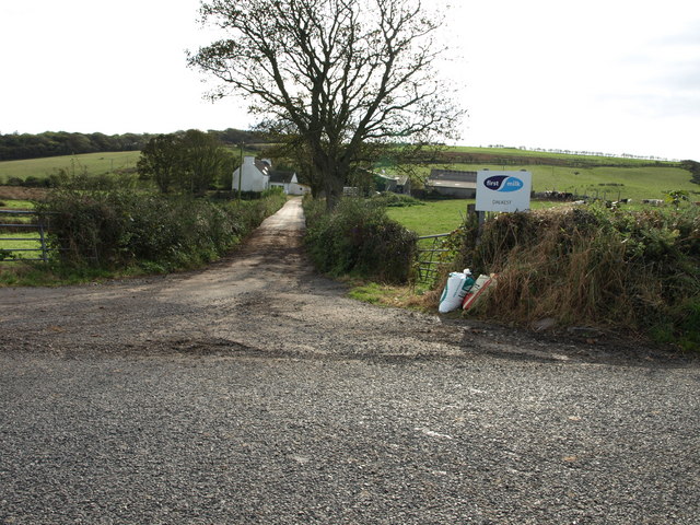
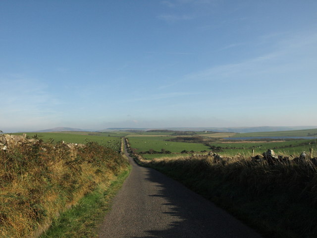
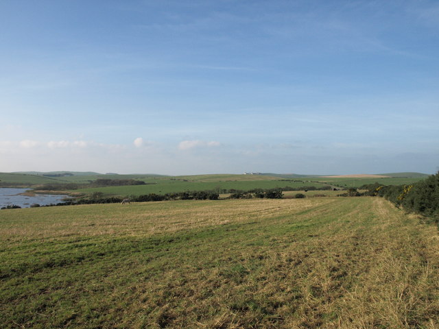
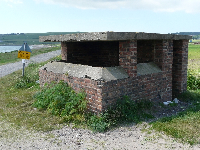
Wee Kirk Hill Images

Images are sourced within 2km of 54.974518/-5.0849492 or Grid Reference NX0268. Thanks to Geograph Open Source API. All images are credited.

Corsewall Mill Waterfall This waterfall used to power the waterwheel at Corsewall Mill before it was demolished. It is just outside Kirkcolm.
Corsewall Mill Waterfall
This waterfall used to power the waterwheel at Corsewall Mill before it was demolished. It is just outside Kirkcolm.
Sea Caves at the foot of Sea Cliff, Loch Ryan
Road junction, near Kirkcolm The road to the right is the A718 to Kirkcolm and the one to the left is a minor one to Corsewall.  The view is taken from the B738.
Road junction, near Kirkcolm
The road to the right is the A718 to Kirkcolm and the one to the left is a minor one to Corsewall. The view is taken from the B738.
Junction of three roads Turn left for Portpatrick and right for Corsewall.
Junction of three roads
Turn left for Portpatrick and right for Corsewall.
Ruined house beside Loch Ryan
Kirkcolm Church Kirkcolm Church taken from the other side of Church Hill (the road in front of the church). In the grounds is the Kilmorie Cross which was carved in the 10th century.
Kirkcolm Church
Kirkcolm Church taken from the other side of Church Hill (the road in front of the church). In the grounds is the Kilmorie Cross which was carved in the 10th century.
Shore of Loch Ryan Nr Kirkcolm These dead trees on the shore of Loch Ryan make a great photo opportunity. The beach is covered with large shells.
Shore of Loch Ryan Nr Kirkcolm
These dead trees on the shore of Loch Ryan make a great photo opportunity. The beach is covered with large shells.
Loch Ryan Shore
Loch Ryan Shore
Kircolm Rush Hour Even the bus stop is so laid back it's screwed to the front of the house....
Kircolm Rush Hour
Even the bus stop is so laid back it's screwed to the front of the house....
Farmland, The Rhins Wellhouse farm on the left.
Farmland, The Rhins
Wellhouse farm on the left.
Farmland, The Rhins Looking towards Mahaar farm.
Farmland, The Rhins
Looking towards Mahaar farm.
Dalkest Farm, The Rhins
Loch Connell road, The Rhins
Loch Connell, The Rhins
Observation Post Disused lookout on the shore of Loch Ryan, where seaplanes landed during World War II.
Observation Post
Disused lookout on the shore of Loch Ryan, where seaplanes landed during World War II.
Sandbanks in Loch Ryan Showing the wash from a ferry
Sandbanks in Loch Ryan
Showing the wash from a ferry
Ruined house on the shores of Loch Ryan This is a ruined house which stands at the end of a track leading from Kirkcolm to the shores of Loch Ryan.
Ruined house on the shores of Loch Ryan
This is a ruined house which stands at the end of a track leading from Kirkcolm to the shores of Loch Ryan.
Show me another place!

Wee Kirk Hill is located at Grid Ref: NX0268 (Lat: 54.974518, Lng: -5.0849492)

Unitary Authority: Dumfries and Galloway

Police Authority: Dumfries and Galloway

What 3 Words

///noisy.beaker.decorator. Near Cairnryan, Dumfries & Galloway

Related Wikis

Kirkcolm

Kirkcolm is a village and civil parish on the northern tip of the Rhinns of Galloway peninsula, south-west Scotland. It is in Dumfries and Galloway, and...

RAF Wig Bay

Royal Air Force Wig Bay, or more simply RAF Wig Bay, is a former Royal Air Force station near Stranraer, Dumfries and Galloway, Scotland. The following...

Ervie

Ervie is a small village in Dumfries and Galloway, Scotland, in the Rhins of Galloway, just outside Stranraer.

Loch Ryan

Loch Ryan (Scottish Gaelic: Loch Rìoghaine, pronounced [l̪ˠɔx ˈrˠiː.ɛɲə]) is a Scottish sea loch that acts as an important natural harbour for shipping...

Nearby Amenities

Located within 500m of 54.974518,-5.0849492
Bus Stop
Bayview Terr
Naptan AtcoCode: 680000284222
Naptan Bearing: NW
Naptan CommonName: Bayview Terr
Naptan Indicator: Church
Naptan Landmark: Church
Naptan NaptanCode: 34234782
Naptan Notes: none
Naptan Street: Bayview Terrace
Naptan Verified: no
Source: naptan_import
Lat/Long: 54.973224/-5.0834832
Post Office
Bus: yes
Naptan AtcoCode: 680000284111
Naptan Bearing: SW
Naptan BusStopType: CUS
Naptan CommonName: Post Office
Naptan Indicator: PO
Naptan Landmark: Post Office
Naptan NaptanCode: 34234784
Naptan Notes: none
Naptan Street: Main Street
Naptan Verified: no
Public Transport: platform
Source: naptan_import
Lat/Long: 54.9732839/-5.0795119
Bowls Club
Naptan AtcoCode: 680000284503
Naptan Bearing: N
Naptan BusStopType: CUS
Naptan CommonName: Bowls Club
Naptan Indicator: opp Club
Naptan Landmark: Bowls Club
Naptan NaptanCode: 34238569
Naptan Notes: None.
Naptan Street: A718
Naptan Verified: no
Source: naptan_import
Lat/Long: 54.9782929/-5.0846223
Bowls Club
Naptan AtcoCode: 680000284504
Naptan Bearing: S
Naptan BusStopType: CUS
Naptan CommonName: Bowls Club
Naptan Indicator: o/s Club
Naptan Landmark: Bowls Club
Naptan NaptanCode: 34238572
Naptan Notes: None
Naptan Street: A718
Naptan Verified: no
Source: naptan_import
Lat/Long: 54.9782981/-5.0844195
Kirkcolm
Name En: Kirkcolm
Name Gd: Cill Choluim
Place: village
Wikidata: Q6415625
Wikipedia: en:Kirkcolm
Lat/Long: 54.9731454/-5.0810195
Place: farm
Lat/Long: 54.9730399/-5.0915485
Kirkcolm Village Shop
Shop: convenience
Lat/Long: 54.974141/-5.0813345
Power: pole
Lat/Long: 54.9730093/-5.0818124
Power: pole
Lat/Long: 54.9730401/-5.0919968
Power: pole
Lat/Long: 54.9785573/-5.0852403
Power: pole
Lat/Long: 54.9706538/-5.0823167
Power: pole
Lat/Long: 54.9715391/-5.0821692
Post Office
Kirkcolm Post Office
Addr City: Stranraer
Addr Country: GB
Addr Postcode: DG9 0NW
Addr Village: Kirkcolm
Brand: Post Office
Brand Wikidata: Q1783168
Check Date: 2022-05-27
Check Date Opening Hours: 2022‑05‑27
Contact Website: https://www.postoffice.co.uk/branch-finder/5794714/kirkcolm
Opening Hours: Tu 09:30-10:30
Operator: Kirkcolm Village Shop
Ref Pol Id: 146338
Lat/Long: 54.9741584/-5.0812945
Bus Stop
Kirkcolm
Bench: yes
Bin: yes
Bus: yes
Naptan AtcoCode: 680000284502
Naptan Bearing: NE
Naptan BusStopType: CUS
Naptan CommonName: Shelter
Naptan Indicator: at
Naptan NaptanCode: 34234783
Naptan Street: Main Street
Naptan Verified: no
Public Transport: platform
Shelter: yes
Tactile Paving: no
Lat/Long: 54.9746481/-5.0812523
Blue Peter Hotel
Addr City: Kirkcolm
Addr Housename: Blue Peter Hotel
Addr Housenumber: 23
Addr Postcode: DG9 0NL
Addr Street: Main Street
Fhrs Id: 849257
Phone: +44 1776 853221
Rooms: 3
Tourism: hotel
Website: https://bluepeterhotel.com/
Lat/Long: 54.9743846/-5.0808137
Corsewall Arms Guest House
Addr City: Kirkcolm
Addr Housenumber: 24
Addr Street: Main Street
Fhrs Id: 1434491
Guest House: bed_and_breakfast
Internet Access: wlan
Pets: no
Source: https://corsewall-arms-guest-house-stranraer.hotelmix.co.uk/
Tourism: guest_house
Lat/Long: 54.9729363/-5.0794125
Kirkcolm Bowling Club
Addr City: Kirkcolm
Addr Street: Bowling Green And Pavilion
Club: sport
Contact Facebook: https://www.facebook.com/people/Kirkcolm-bowling-club/100069663862473/
Fhrs Id: 849255
Sport: bowls
Lat/Long: 54.9782307/-5.0838316
Turning Circle
Lat/Long: 54.9734642/-5.0852196
Corsewall Estate Garden Cottage
Addr City: Kirkcolm
Addr Housename: Garden Cottage
Addr Street: Corsewall Estate
Check Date: 2023-08-04
Email: enquiries@corsewallestate.com
Internet Access: wlan
Pets: yes
Phone: +44 7980 213339
Reservation: required
Rooms: 3
Tourism: apartment
Website: https://www.corsewallestate.com
Wheelchair: no
Lat/Long: 54.9768335/-5.0782616
Corsewall Estate Stables Cottage
Addr City: Kirkcolm
Addr Housename: Stables Cottage
Addr Street: Corsewall Estate
Check Date: 2023-08-04
Description: Upstairs apartment accessed via steep stairs.
Email: enquiries@corsewallestate.com
Internet Access: wlan
Pets: yes
Phone: +44 7980 213339
Reservation: required
Rooms: 2
Tourism: apartment
Website: https://www.corsewallestate.com
Wheelchair: no
Lat/Long: 54.9772803/-5.0788071
Post Box
Operator: Royal Mail
Post Box Mounting: pier
Post Box Type: lamp
Ref: DG9 26
Royal Cypher: scottish_crown
Lat/Long: 54.9740777/-5.0810809
Historic: memorial
Memorial: war_memorial
Lat/Long: 54.9734631/-5.083525
The data included in this document is from www.openstreetmap.org. The data is made available under ODbL.

Have you been to Wee Kirk Hill?

Leave your review of Wee Kirk Hill below (or comments, questions and feedback).