Doire Dubh nan Each
Wood, Forest in Argyllshire
Scotland
Doire Dubh nan Each
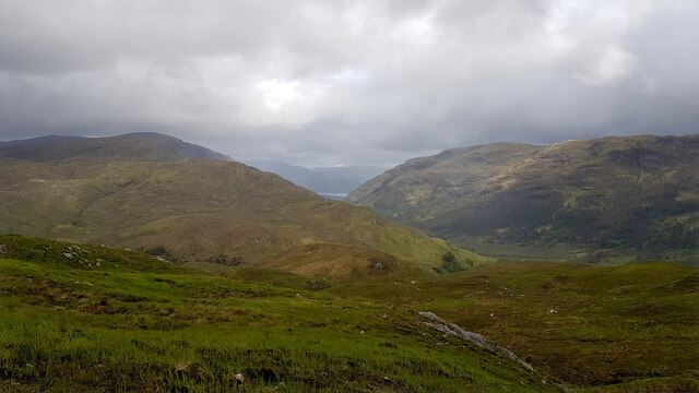
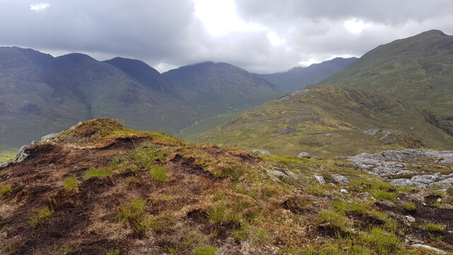
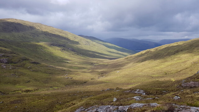
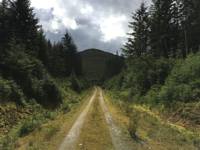
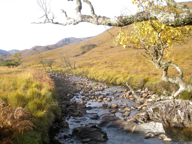
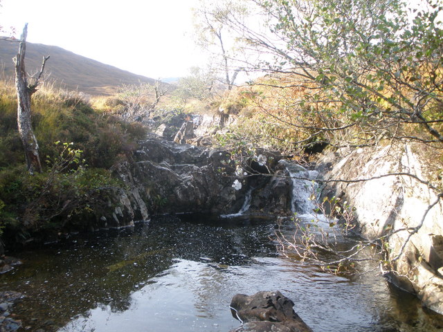
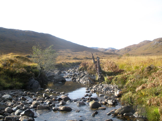
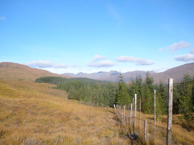
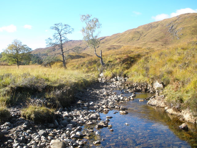
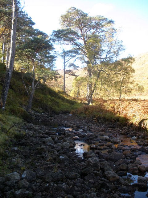
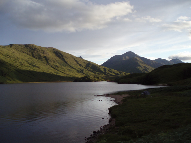
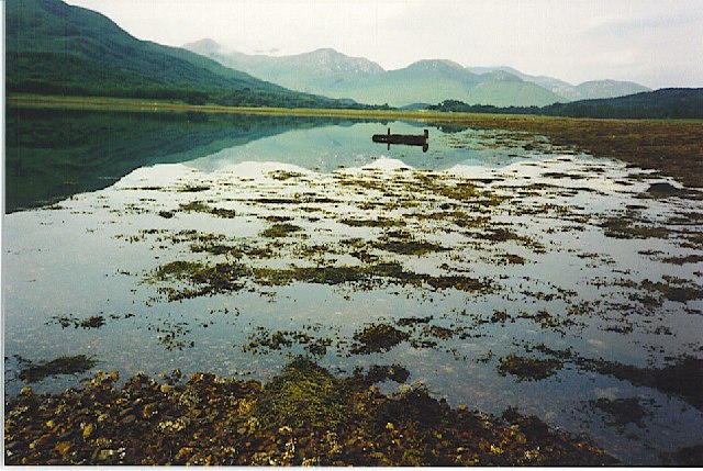
Doire Dubh nan Each, located in Argyllshire, Scotland, is a dense woodland known for its ancient and mystical qualities. The Gaelic name translates to "Dark Oakwood of the Horses," highlighting its historical connection to the area's equine population. Spanning over a vast area, this forest is renowned for its untouched natural beauty and rich biodiversity.
The forest is predominantly composed of oak trees, which have thrived in the damp and fertile soil of the region for centuries. These towering trees create a stunning canopy of foliage, providing shelter and sustenance for numerous species of plants and animals. The woodland floor is adorned with a vibrant carpet of mosses, ferns, and wildflowers, adding to its enchanting atmosphere.
Doire Dubh nan Each is home to a diverse range of wildlife, including deer, foxes, badgers, and a variety of bird species. The forest acts as an important habitat for these creatures, providing food, shelter, and protection from predators. It also serves as a vital migratory route for several bird species, making it a popular spot for birdwatchers.
The forest has long been a place of cultural and historical significance. Ancient tales and legends are woven into its history, with many locals believing that the woods are inhabited by mythical creatures and spirits. The forest's mysterious aura has inspired artists, writers, and poets throughout the years.
Visitors to Doire Dubh nan Each can enjoy a tranquil and immersive experience in nature. There are several walking trails that wind through the woods, allowing visitors to explore its hidden corners and marvel at its natural wonders. The forest also offers opportunities for outdoor activities, such as picnicking, wildlife spotting, and photography.
If you have any feedback on the listing, please let us know in the comments section below.
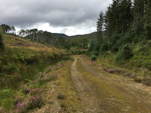
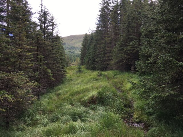
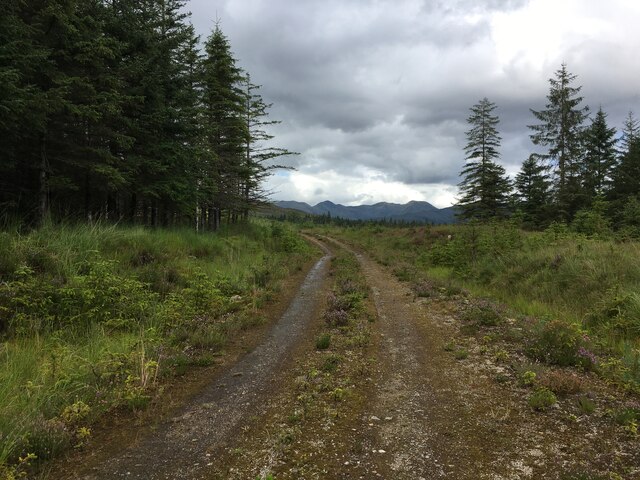
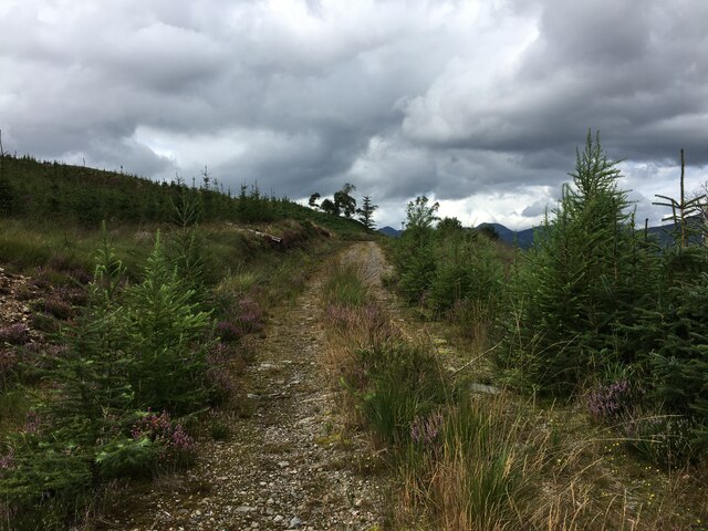
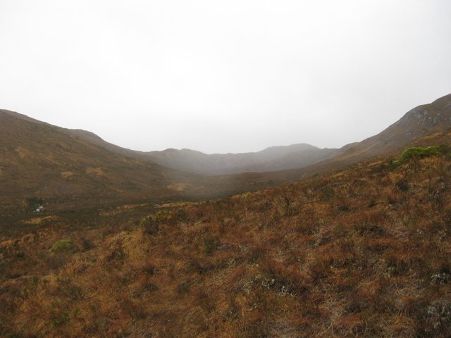
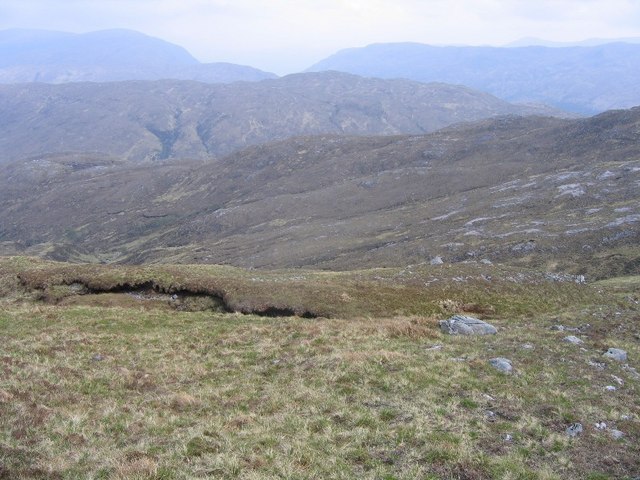
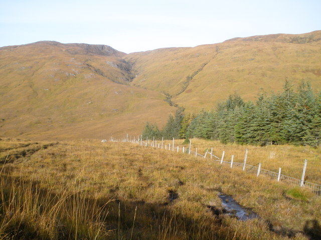
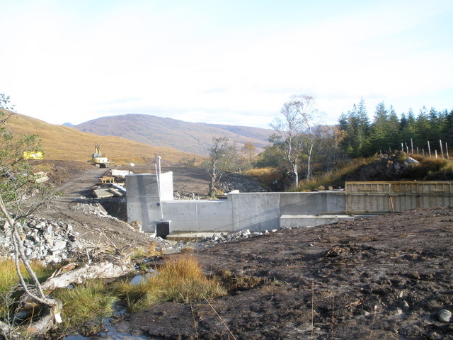
Doire Dubh nan Each Images
Images are sourced within 2km of 56.816087/-5.3514301 or Grid Reference NM9574. Thanks to Geograph Open Source API. All images are credited.
Doire Dubh nan Each is located at Grid Ref: NM9574 (Lat: 56.816087, Lng: -5.3514301)
Unitary Authority: Highland
Police Authority: Highlands and Islands
What 3 Words
///inventors.tucked.minerals. Near Fort William, Highland
Nearby Locations
Related Wikis
Battle of Bun Garbhain
The Battle of Bun Garbhain was a Scottish clan battle fought in 1570, in the Scottish Highlands, between the Clan Cameron and the Clan Mackintosh. ��2...

Dubh Lighe
Dubh Lighe is a 2-kilometre (1.2 mi) long river in Lochaber, Highland, Scotland that flows the Gleann Dubh Lighe glen (valley), before flowing into Loch...
Kinlocheil
Kinlochiel (Scottish Gaelic: Ceann Loch Iall) is a hamlet on the north west shore of Loch Eil in Lochaber, Scottish Highlands and is in the Scottish council...

Locheilside railway station
Locheilside railway station is a railway station on the northern shore of Loch Eil in the Highland Council Area of Scotland. This station is on the West...
Have you been to Doire Dubh nan Each?
Leave your review of Doire Dubh nan Each below (or comments, questions and feedback).