Sròn an t-Sluic
Hill, Mountain in Argyllshire
Scotland
Sròn an t-Sluic
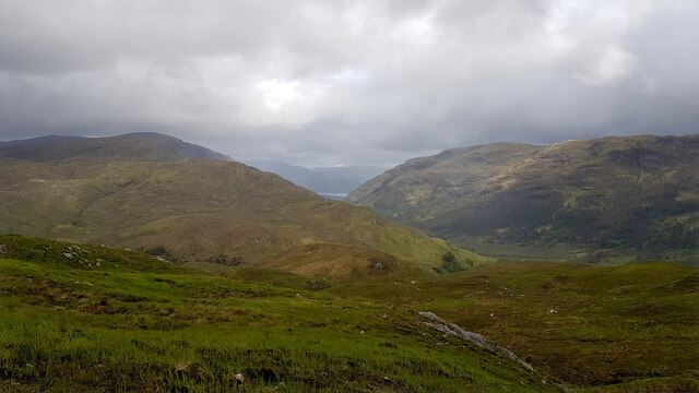
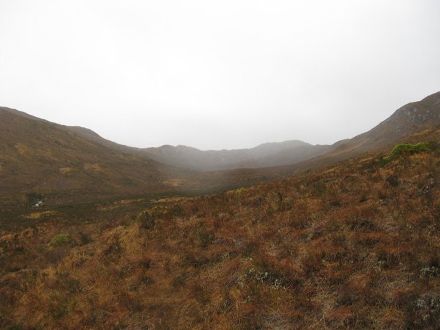
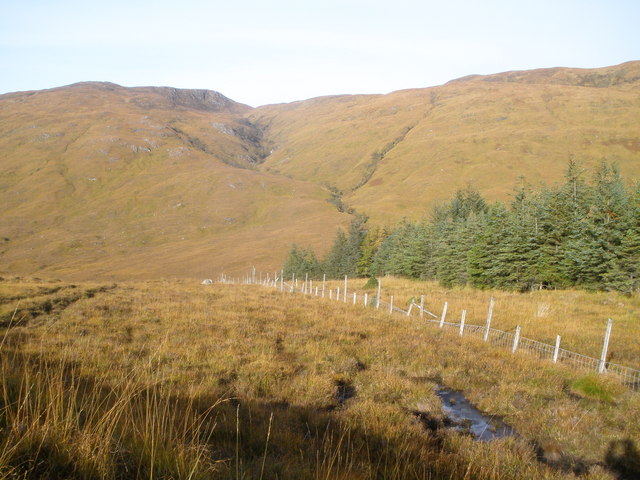
Sròn an t-Sluic is a prominent hill located in Argyllshire, Scotland. It rises to a height of 1,504 feet (458 meters) and is a popular destination for hikers and outdoor enthusiasts. The hill is known for its stunning views of the surrounding countryside, including Loch Lomond and the Trossachs National Park.
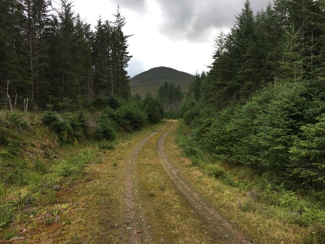
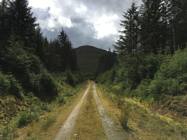
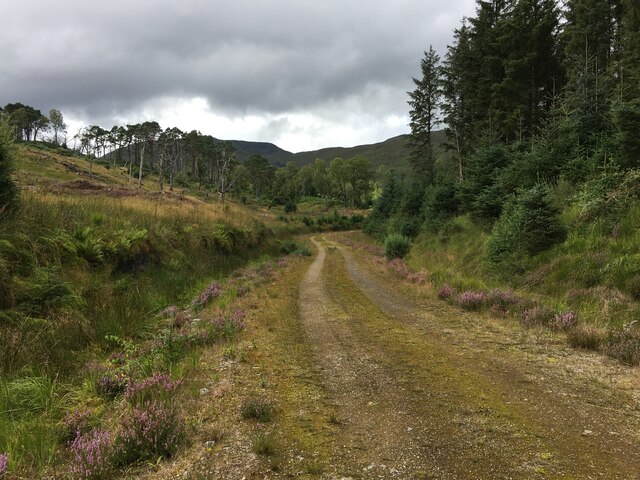
Sròn an t-Sluic is part of the Arrochar Alps range and is situated near the village of Arrochar. The hill is characterized by its steep slopes and rocky terrain, making it a challenging but rewarding climb for experienced hikers. The summit offers panoramic views of the surrounding mountains and valleys, making it a popular spot for photographers and nature lovers.
The area surrounding Sròn an t-Sluic is rich in biodiversity, with a variety of plant and animal species inhabiting the hillside. Visitors may encounter red deer, ptarmigan, and golden eagles while exploring the area.
Overall, Sròn an t-Sluic is a picturesque and rugged hill that offers a unique opportunity to experience the natural beauty of the Scottish Highlands.
If you have any feedback on the listing, please let us know in the comments section below.
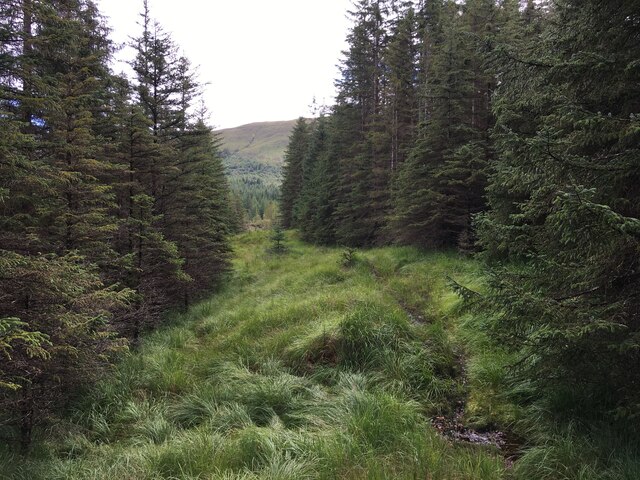
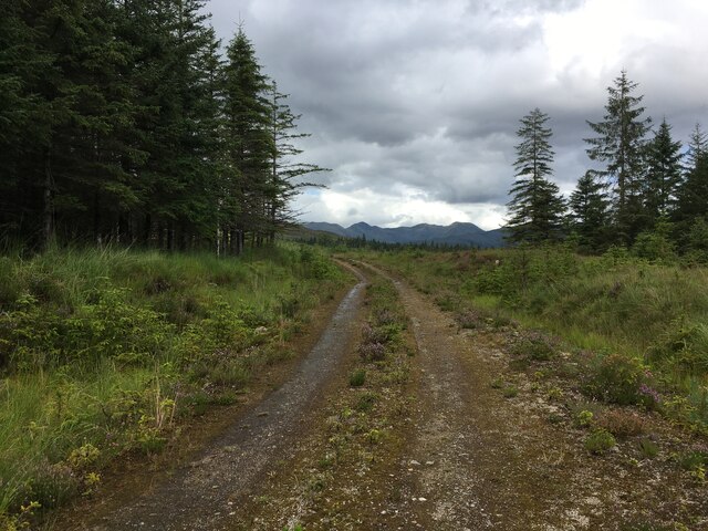
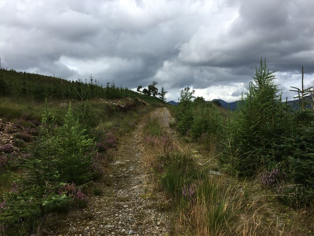
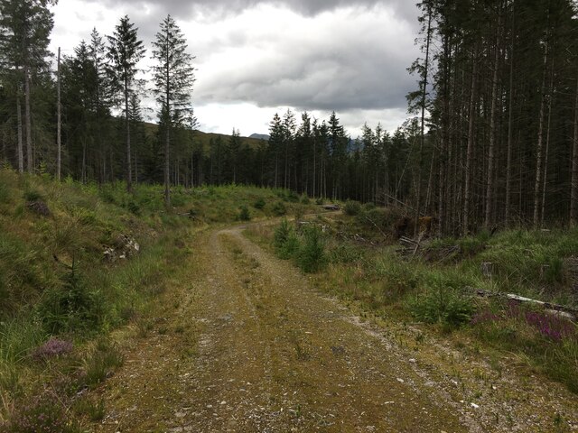
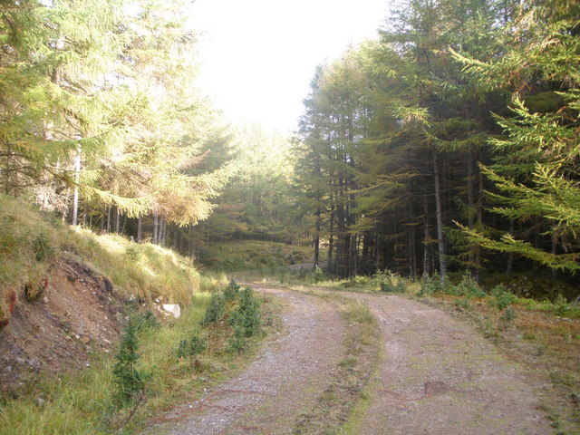
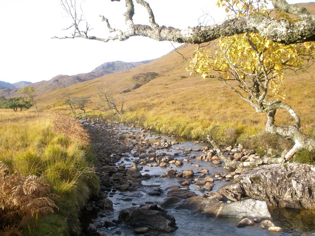
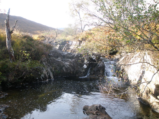
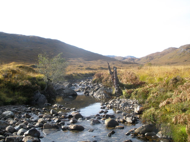
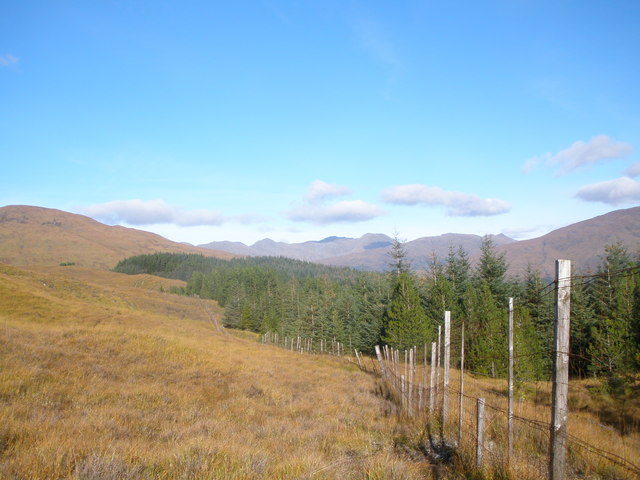
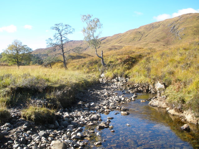
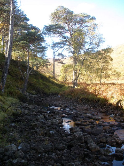
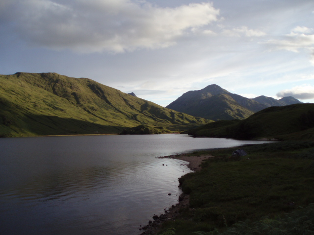
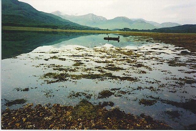
Sròn an t-Sluic Images
Images are sourced within 2km of 56.816456/-5.3443819 or Grid Reference NM9574. Thanks to Geograph Open Source API. All images are credited.
Sròn an t-Sluic is located at Grid Ref: NM9574 (Lat: 56.816456, Lng: -5.3443819)
Unitary Authority: Highland
Police Authority: Highlands and Islands
What 3 Words
///barks.witless.clinic. Near Fort William, Highland
Nearby Locations
Related Wikis
Battle of Bun Garbhain
The Battle of Bun Garbhain was a Scottish clan battle fought in 1570, in the Scottish Highlands, between the Clan Cameron and the Clan Mackintosh. ��2...

Dubh Lighe
Dubh Lighe is a 2-kilometre (1.2 mi) long river in Lochaber, Highland, Scotland that flows the Gleann Dubh Lighe glen (valley), before flowing into Loch...
Kinlocheil
Kinlochiel (Scottish Gaelic: Ceann Loch Iall) is a hamlet on the north west shore of Loch Eil in Lochaber, Scottish Highlands and is in the Scottish council...

Locheilside railway station
Locheilside railway station is a railway station on the northern shore of Loch Eil in the Highland Council Area of Scotland. This station is on the West...
Nearby Amenities
Located within 500m of 56.816456,-5.3443819Have you been to Sròn an t-Sluic?
Leave your review of Sròn an t-Sluic below (or comments, questions and feedback).