Cnoc na Caillich
Hill, Mountain in Ross-shire
Scotland
Cnoc na Caillich
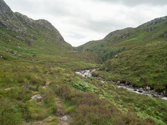
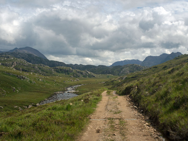
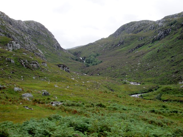
Cnoc na Caillich, located in Ross-shire, Scotland, is a prominent hill/mountain that holds both historical and geological significance. With an elevation of 732 meters (2,402 feet), it stands out as one of the highest peaks in the area, offering breathtaking views of the surrounding landscape.
The name Cnoc na Caillich translates to "Hill of the Old Woman" in Gaelic, referring to the legend that a witch or old hag was turned to stone on the summit. This folklore adds an air of mystique to the destination, attracting visitors intrigued by its history.
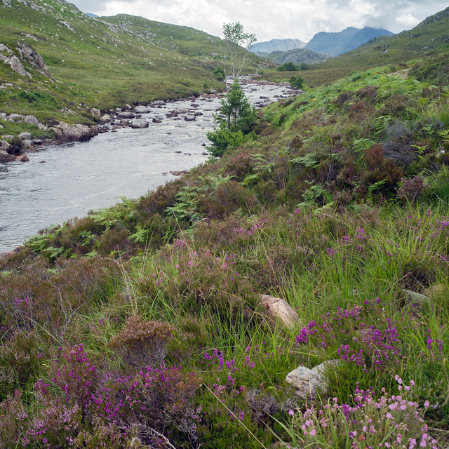
Geologically, Cnoc na Caillich is part of the Torridonian Sandstone Formation, a rock formation dating back over a billion years. The sandstone creates a rugged and distinctive landscape, with rocky outcrops and steep slopes.
The hill is a popular destination for hikers, hillwalkers, and mountaineers, offering a range of routes to suit different abilities. The ascent can be challenging, particularly in adverse weather conditions, but the rewarding panoramic views from the top make it worthwhile.
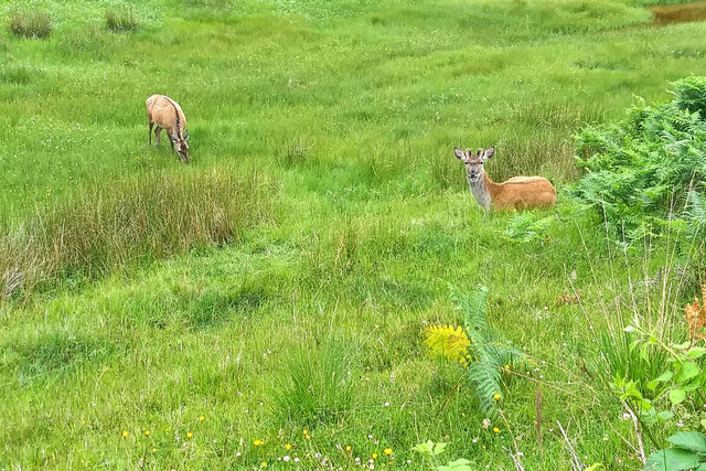
Cnoc na Caillich is also surrounded by a diverse range of flora and fauna. The hill is home to various bird species, including golden eagles, peregrine falcons, and red grouse. During spring and summer, the lower slopes are adorned with colorful wildflowers, creating a picturesque scene.
Overall, Cnoc na Caillich is a captivating destination, offering a blend of history, geology, and natural beauty. Whether you are seeking outdoor adventure or simply wish to admire the stunning Scottish Highlands, this hill/mountain provides an unforgettable experience.
If you have any feedback on the listing, please let us know in the comments section below.
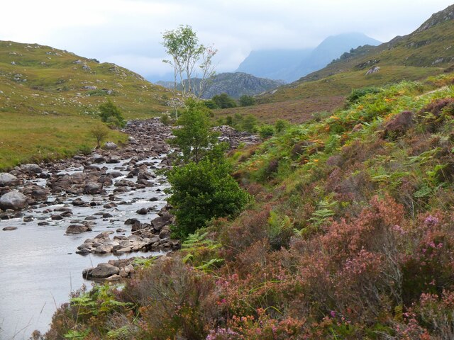
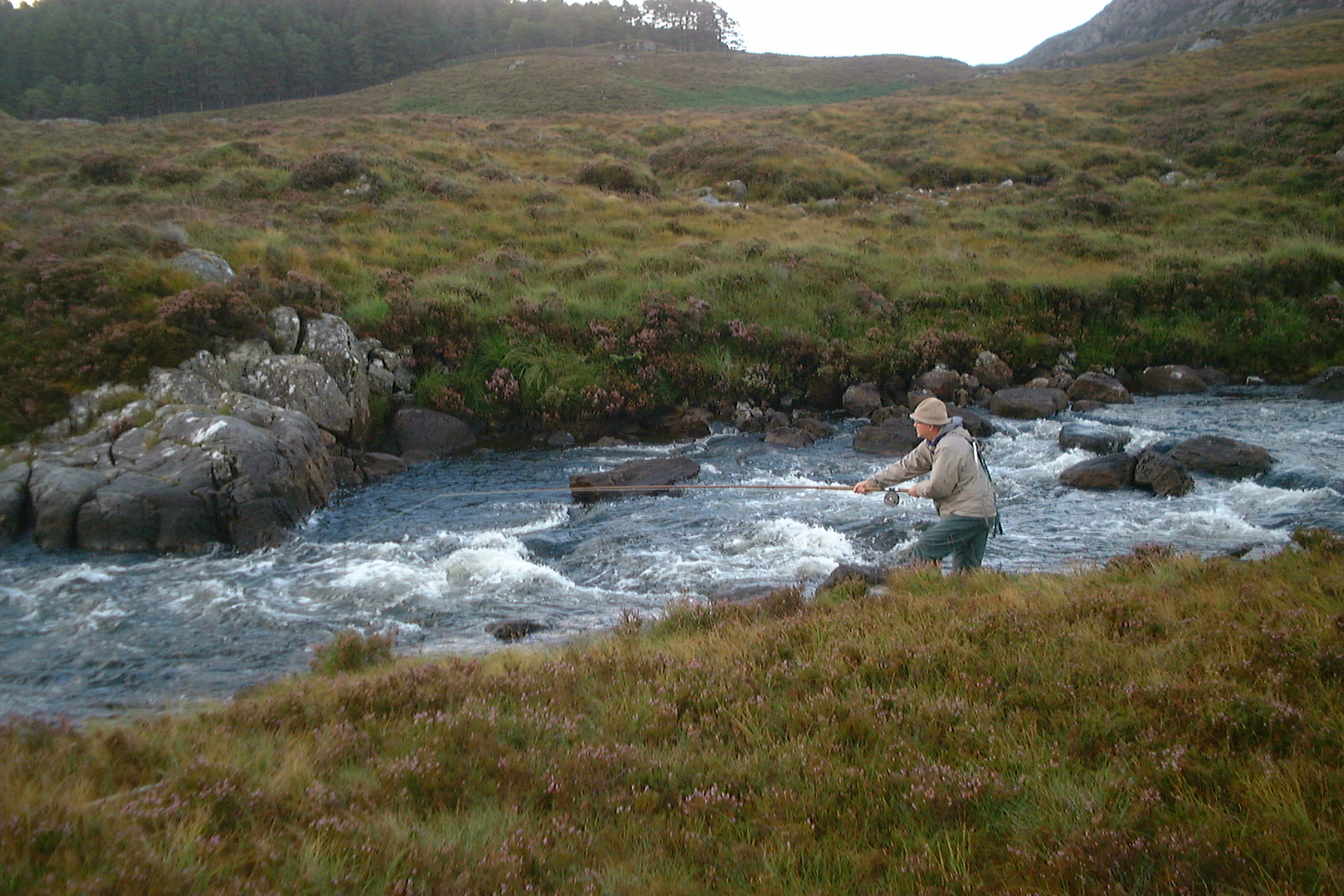
Cnoc na Caillich Images
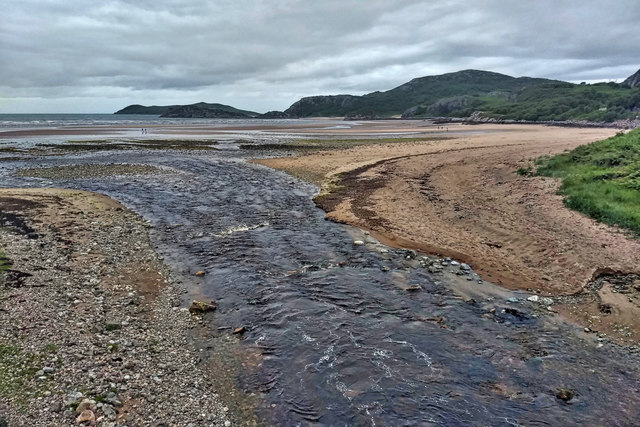
Images are sourced within 2km of 57.85601/-5.4409133 or Grid Reference NG9590. Thanks to Geograph Open Source API. All images are credited.


Cnoc na Caillich is located at Grid Ref: NG9590 (Lat: 57.85601, Lng: -5.4409133)
Unitary Authority: Highland
Police Authority: Highlands and Islands
What 3 Words
///undertook.aware.captive. Near Ullapool, Highland
Nearby Locations
Related Wikis
Little Gruinard
The Little Gruinard is a river in Wester Ross, Scotland which runs from the Fionn Loch into Gruinard Bay (famed for Gruinard Island). It lies within the...

First Coast, Highland
First Coast is a small settlement in Wester Ross in the North West Highlands of Scotland. It is situated on the south shore of Gruinard Bay and on the...

Gruinard Island
Gruinard Island ( GRIN-yərd;Scottish Gaelic: Eilean Ghruinneard) is a small, oval-shaped Scottish island approximately 2 kilometres (1+1⁄4 miles) long...

Badluarach
Badluarach (Scottish Gaelic: Am Bad Luachrach) is a small village on the south shore of Little Loch Broom, in Wester Ross in the Highland council area...

Gruinard Bay
Gruinard Bay is a large remote coastal embayment, located 12 miles north of Poolewe, in northwestern Ross and Cromarty, and is in the former parish of...

Sand, Highland
Sand (Scottish Gaelic: Sannda) is a small hamlet, located on the southern shore of Gruinard Bay, and lying to the west of the village of Laide in Ross...

Laide
Laide (Scottish Gaelic: An Leathad) is a small village in the northwest of the Highlands of Scotland. It is situated on the southern shore of Gruinard...

Badcaul
Badcaul (Scottish Gaelic: Bada Call) is a village in Highland, Scotland, on the southern shore of Little Loch Broom and is a village in the Highland council...
Nearby Amenities
Located within 500m of 57.85601,-5.4409133Have you been to Cnoc na Caillich?
Leave your review of Cnoc na Caillich below (or comments, questions and feedback).