Alne Station

Settlement in Yorkshire Hambleton

England

Alne Station

Arable field, Shire Oak Farm
Arable field, Shire Oak Farm Credit: N Chadwick

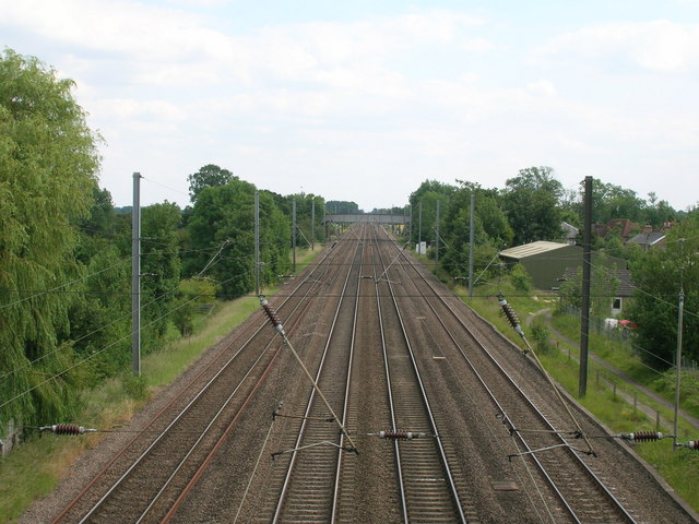
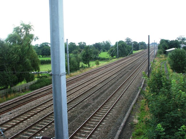
Alne Station is a small railway station located in the village of Alne in North Yorkshire, England. Situated on the East Coast Main Line, the station serves as a vital transportation hub for the local community and surrounding areas. It is managed and operated by the London North Eastern Railway.

The station, which has been in operation since 1841, features a single platform with basic facilities, including a waiting shelter, seating, and ticket machines. It provides regular services to major cities such as York, Leeds, and London, as well as to smaller towns in the region.

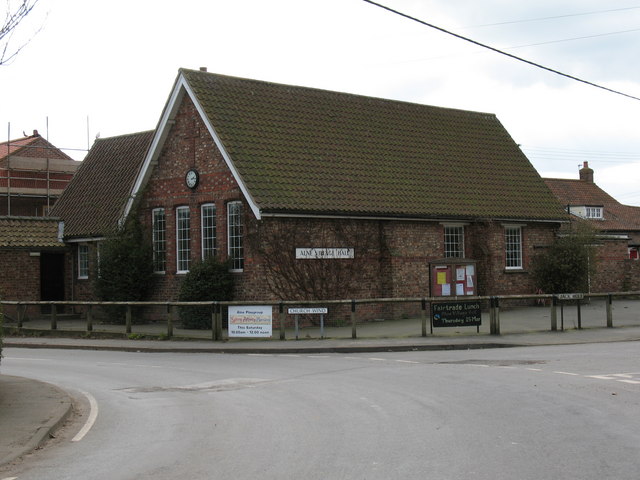
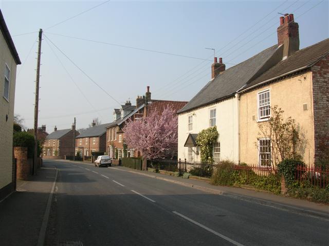
Alne Station is conveniently located near the A19 road, making it easily accessible for commuters and visitors alike. The station's close proximity to the village center allows travelers to access nearby amenities, including shops, pubs, and restaurants.

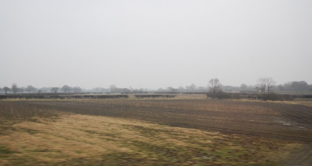
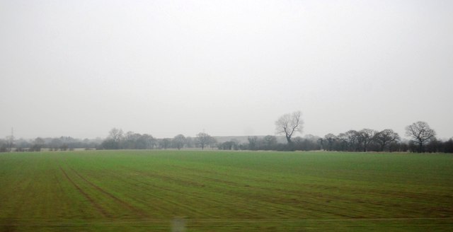
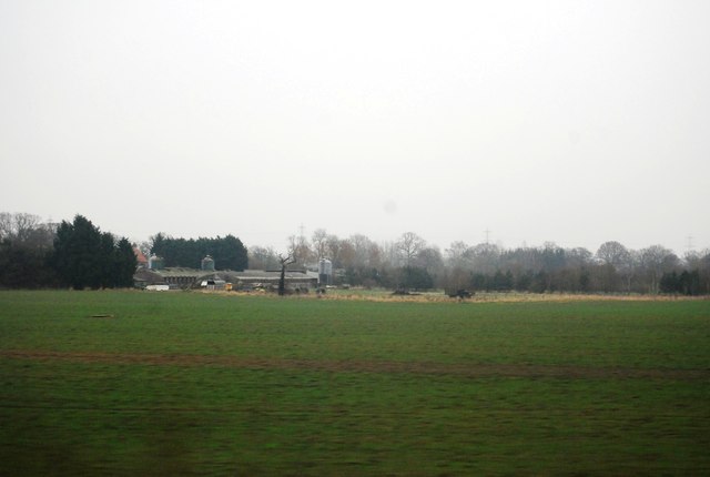
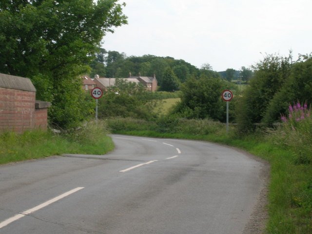
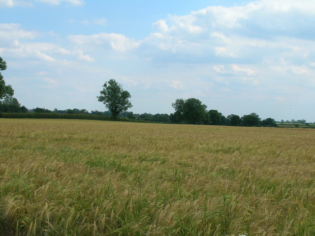
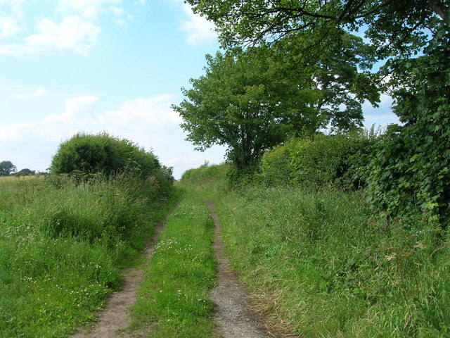
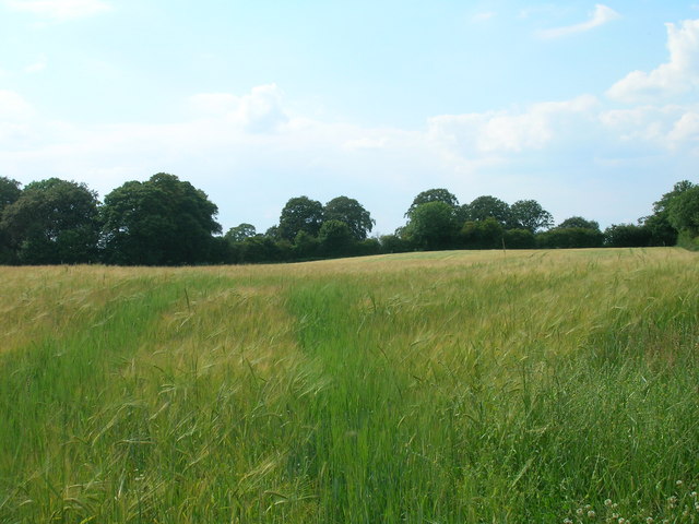
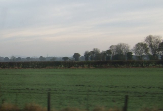
The surrounding area of Alne is characterized by its picturesque countryside and charming rural atmosphere. It offers visitors the opportunity to explore beautiful landscapes, go for walks, or engage in outdoor activities such as cycling or hiking.

Alne Station plays a significant role in connecting the local community to larger towns and cities, facilitating both leisure and work-related travel. Despite its relatively small size, the station serves as an essential transport link, contributing to the overall connectivity and convenience of the region.

If you have any feedback on the listing, please let us know in the comments section below.

Alne Station Images

Images are sourced within 2km of 54.087491/-1.2371235 or Grid Reference SE5066. Thanks to Geograph Open Source API. All images are credited.

Arable field, Shire Oak Farm
Farmland north of Tollerton
Lane End Farm
Lane End Farm
Station Farm
Station Farm
Farmland and pylon, Lund Bridge
Minor road towards Alne
Railway towards York
Minor road towards Alne
Farmland off Sandy Lane
Sandy Lane (track)
Sandy Lane (track)
Track (footpath) towards Alne
Farmland west of Tollerton
Farmland, Middle Cavil Field
Alne railway station (site), Yorkshire Opened in 1841 by the great North of England Railway on its line from York to Darlington, this station closed in 1958 to passengers. View south towards Tollerton and York. Little now remains except a former yard to the right of the image.
Alne railway station (site), Yorkshire
Opened in 1841 by the great North of England Railway on its line from York to Darlington, this station closed in 1958 to passengers. View south towards Tollerton and York. Little now remains except a former yard to the right of the image.
View towards pylon line, north of Alne Station Farm can faintly be seen beyond the hedge, towards the left of the picture.
View towards pylon line, north of Alne
Station Farm can faintly be seen beyond the hedge, towards the left of the picture.
Greengates Lane Looking towards a road junction south of Flawith.
Greengates Lane
Looking towards a road junction south of Flawith.
Sign for Flawith Approaching the village from the south.
Sign for Flawith
Approaching the village from the south.
Cottages in Flawith Looking along the northern edge of the village.
Cottages in Flawith
Looking along the northern edge of the village.
Show me another place!

Alne Station is located at Grid Ref: SE5066 (Lat: 54.087491, Lng: -1.2371235)

Division: North Riding

Administrative County: North Yorkshire

District: Hambleton

Police Authority: North Yorkshire

What 3 Words

///limes.showcases.stammer. Near Easingwold, North Yorkshire

Related Wikis

Nearby Amenities

Located within 500m of 54.087491,-1.2371235
Public Bookcase
Booth: K6
Colour: red
Covered: booth
Disused Amenity: telephone
Man Made: telephone_box
Public Bookcase Type: phone_box
Source: survey
Lat/Long: 54.0835284/-1.2400568
Bench
Lat/Long: 54.0868127/-1.2374748
Bus Stop
Lat/Long: 54.0895949/-1.2332927
Information: board
Tourism: information
Lat/Long: 54.0901698/-1.2331896
Bench
Lat/Long: 54.0901043/-1.2332282
Generator Method: photovoltaic
Generator Output Electricity: yes
Generator Source: solar
Generator Type: solar_photovoltaic_panel
Power: generator
Lat/Long: 54.085784/-1.2381825
Generator Method: photovoltaic
Generator Output Electricity: yes
Generator Source: solar
Generator Type: solar_photovoltaic_panel
Power: generator
Lat/Long: 54.0843258/-1.2380479
Generator Method: photovoltaic
Generator Output Electricity: yes
Generator Source: solar
Generator Type: solar_photovoltaic_panel
Power: generator
Lat/Long: 54.0851709/-1.2392885
Information: guidepost
Tourism: information
Lat/Long: 54.0899167/-1.2332848
The data included in this document is from www.openstreetmap.org. The data is made available under ODbL.

Have you been to Alne Station?

Leave your review of Alne Station below (or comments, questions and feedback).