Alne End

Settlement in Warwickshire Stratford-on-Avon

England

Alne End

Arden Way  towards New End Farm Tree-lined banks to this lane with a lot of bluebells.
Arden Way towards New End Farm Credit: Trevor Rickard

Alne End is a small village located in the county of Warwickshire, England. Situated near the larger towns of Stratford-upon-Avon and Warwick, Alne End offers a peaceful and picturesque setting for its residents.

The village is primarily residential, with a population of around 500 people. The architecture of the houses in Alne End reflects its rural heritage, with many traditional cottages and farmhouses still standing. The village is surrounded by beautiful countryside, with rolling hills and open fields providing a stunning backdrop.

Despite its small size, Alne End boasts a strong sense of community. The village has a local pub, The Alne End Inn, which serves as a gathering place for residents and visitors alike. The pub offers a warm and friendly atmosphere, and often hosts community events and activities.

For amenities, Alne End benefits from its proximity to the nearby towns of Stratford-upon-Avon and Warwick. These towns provide a range of shops, restaurants, and leisure facilities, ensuring that residents have access to everything they need.

In terms of transportation, Alne End is well-connected to the surrounding areas. The village is situated close to major road networks, with the M40 motorway just a short drive away. Additionally, there are regular bus services that run through the village, providing easy access to nearby towns and cities.

Overall, Alne End is a charming village that offers a peaceful and idyllic setting for its residents. With its strong sense of community and beautiful surroundings, it is a desirable place to live for those seeking a rural lifestyle within easy reach of amenities.

If you have any feedback on the listing, please let us know in the comments section below.
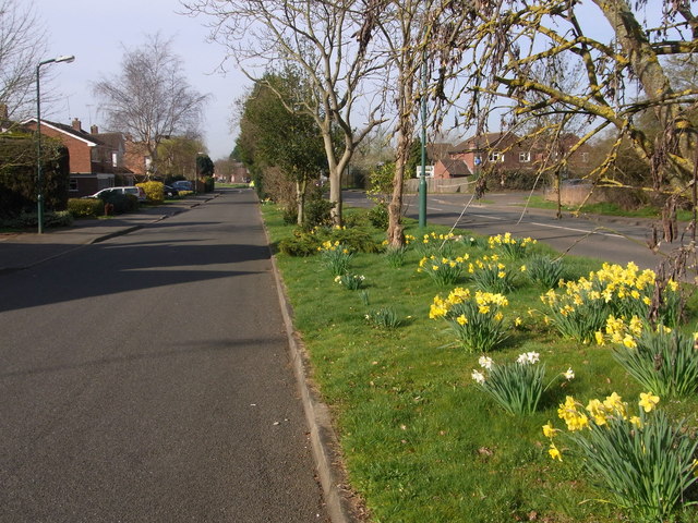
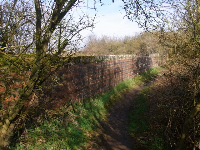
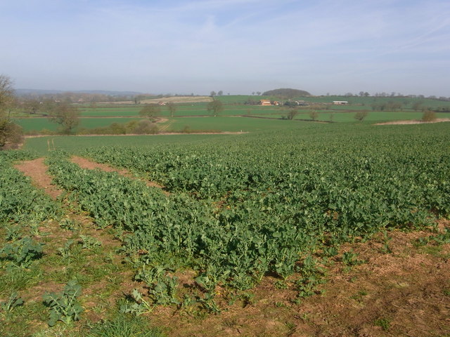
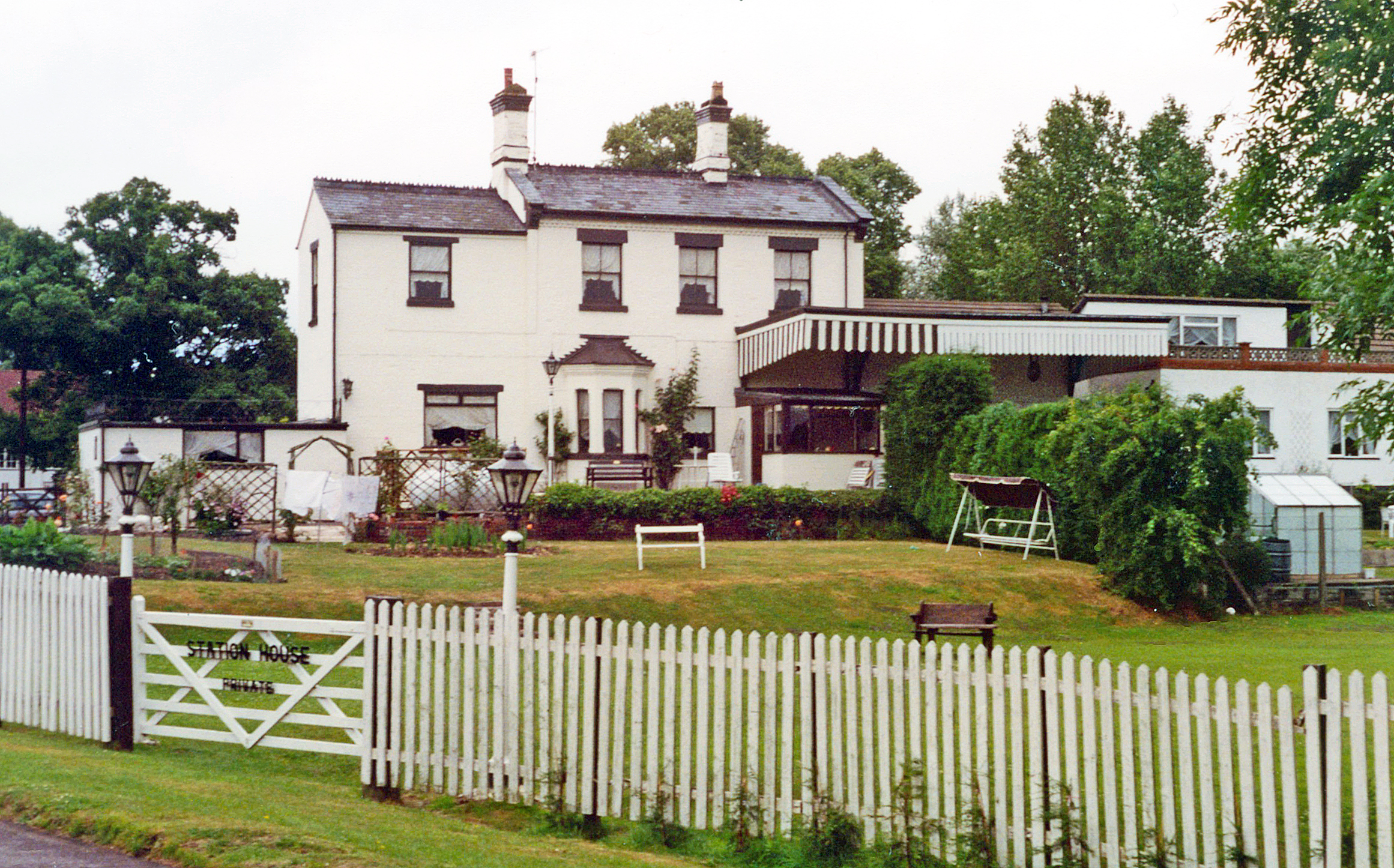
Alne End Images

Images are sourced within 2km of 52.231214/-1.839053 or Grid Reference SP1159. Thanks to Geograph Open Source API. All images are credited.

Arden Way  towards New End Farm Tree-lined banks to this lane with a lot of bluebells.
Arden Way towards New End Farm
Tree-lined banks to this lane with a lot of bluebells.
Farmland east of Windmill Hill As seen through the hedge of the Arden Way track.
Farmland east of Windmill Hill
As seen through the hedge of the Arden Way track.
Ploughed field south of the Arden Way
The Arden Way The Arden Way to the east of Coughton.
The Arden Way
The Arden Way to the east of Coughton.
The Arden Way A shady section of the Arden Way to the east of Coughton.
The Arden Way
A shady section of the Arden Way to the east of Coughton.
Service road, by Captain's Hill,  Alcester Spring show of daffodils by the B4089.
Service road, by Captain's Hill, Alcester
Spring show of daffodils by the B4089.
Parapet of  former railway bridge Now just a footpath and quite overgrown.
Parapet of former railway bridge
Now just a footpath and quite overgrown.
Coughton Fields from the footpath
Modern Houses  These modern houses are on the north western outskirts of the small town of Alcester. The road is the B4089 to Great Alne known as Captains Hill.
Modern Houses
These modern houses are on the north western outskirts of the small town of Alcester. The road is the B4089 to Great Alne known as Captains Hill.
The Monarch's Way approaching Alcester. Arden Forest Industrial Estate on the right.
The Monarch's Way approaching Alcester.
Arden Forest Industrial Estate on the right.
Trig point east of Alcester From here the Monarch's Way crosses the dense hedge in the middle distance (the route of an old railway line) and follows the ridge past the tree in the middle of the horizon
Trig point east of Alcester
From here the Monarch's Way crosses the dense hedge in the middle distance (the route of an old railway line) and follows the ridge past the tree in the middle of the horizon
Captain's Hill, leading in to Alcester The Monarch's Way joins at the yellow-topped post on the right, and follows the road in to Alcester
Captain's Hill, leading in to Alcester
The Monarch's Way joins at the yellow-topped post on the right, and follows the road in to Alcester
Arden Forest Industrial Estate View from the slight rise holding the Kinwarton trigpoint of this Alcester industrial estate.
Arden Forest Industrial Estate
View from the slight rise holding the Kinwarton trigpoint of this Alcester industrial estate.
Trig point above Alcester This trig point just to the north of Alcester has had a coat of paint since Richard Webb photographed it six years ago.  The Arden Forest Industrial Estate can be seen in the background, see: <a href="https://www.geograph.org.uk/photo/10906">SP0958 : Arden Forest Industrial Estate</a>.
Trig point above Alcester
This trig point just to the north of Alcester has had a coat of paint since Richard Webb photographed it six years ago. The Arden Forest Industrial Estate can be seen in the background, see: SP0958 : Arden Forest Industrial Estate.
'You Go Your Way I'll Go Mine' Three different long distance paths follow this footpath just to the north of Alcester: The Heart of England Way, The Arden Way and The Monarch's Way.
'You Go Your Way I'll Go Mine'
Three different long distance paths follow this footpath just to the north of Alcester: The Heart of England Way, The Arden Way and The Monarch's Way.
Course of the old Alcester Railway This used to be a cutting and has possibly been used at some time as a landfill site, here it is viewed from an old railway bridge carrying a footpath.
Course of the old Alcester Railway
This used to be a cutting and has possibly been used at some time as a landfill site, here it is viewed from an old railway bridge carrying a footpath.
Arden Forest Industrial Estate Industrial estate to the north of Alcester, viewed here from the footpath to the east.
Arden Forest Industrial Estate
Industrial estate to the north of Alcester, viewed here from the footpath to the east.
The Arrow valley View across the Arrow valley from the Arden Way.
The Arrow valley
View across the Arrow valley from the Arden Way.
Show me another place!

Alne End is located at Grid Ref: SP1159 (Lat: 52.231214, Lng: -1.839053)

Administrative County: Warwickshire

District: Stratford-on-Avon

Police Authority: Warwickshire

What 3 Words

///devalued.already.merchant. Near Alcester, Warwickshire

Nearby Locations

Alne End

Related Wikis

Nearby Amenities

Located within 500m of 52.231214,-1.839053
Great Alne
Place: village
Lat/Long: 52.2313033/-1.831837
Leisure: playground
Source: visual survey;estimate
Lat/Long: 52.2315331/-1.8363636
Telephone
Defibrillator
Booth: K6
Covered: booth
Defibrillator Location: inside red phonebox n School Road
Emergency: defibrillator
Man Made: telephone_box
Source: GPS Survey
Lat/Long: 52.2314716/-1.8356771
Post Box
Collection Times: Mo-Fr 16:00; Sa 10:30
Operator: Royal Mail
Post Box Type: wall
Ref: B49 16
Royal Cypher: EIIR
Royal Cypher Wikidata: Q33102113
Source: GPS Survey
Lat/Long: 52.2321278/-1.8345798
Power: substation
Source: visual survey;estimate
Lat/Long: 52.2295226/-1.8420114
Bus Stop
School Lane
Bus: yes
Naptan AtcoCode: 4200F024200
Naptan Bearing: NE
Naptan CommonName: School Lane
Naptan Indicator: Opp
Naptan NaptanCode: wardgjtp
Naptan Street: School Road
Naptan Verified: no
Public Transport: platform
Source: naptan_import
Lat/Long: 52.2314206/-1.8361963
Bus Stop
School Lane
Bus: yes
Naptan AtcoCode: 4200F024201
Naptan Bearing: SW
Naptan BusStopType: CUS
Naptan CommonName: School Lane
Naptan Indicator: Nr
Naptan NaptanCode: wardgjtw
Naptan Street: School Road
Naptan Verified: no
Public Transport: platform
Source: naptan_import
Lat/Long: 52.2313753/-1.836066
Bus Stop
Arden Cottage
Bus: yes
Naptan AtcoCode: 4200F024300
Naptan Bearing: SE
Naptan CommonName: Arden Cottage
Naptan Indicator: Adj
Naptan Landmark: Arden Cottage
Naptan NaptanCode: wardgjwa
Naptan Street: Spernal Lane
Naptan Verified: no
Public Transport: platform
Source: naptan_import
Lat/Long: 52.2307392/-1.832931
Man Made: street_cabinet
Operator: BT
Source: survey
Street Cabinet: communication
Lat/Long: 52.2318089/-1.8341718
Man Made: street_cabinet
Operator: BT
Source: survey
Street Cabinet: communication
Lat/Long: 52.2318212/-1.8341899
Grit Bin
Source: survey
Lat/Long: 52.2319053/-1.8343089
Bench
Backrest: yes
Image: https://storage11.openstreetcam.org/files/photo/2019/4/5/lth/1363306_48887_367.jpg
Survey Date: 2019-04-05
Lat/Long: 52.2314519/-1.8357577
Bench
Backrest: yes
Source: survey
Lat/Long: 52.2305492/-1.8320039
Bench
Backrest: yes
Source: survey
Lat/Long: 52.2305395/-1.8320404
Barrier: kissing_gate
Lat/Long: 52.2301224/-1.8320919
Barrier: kissing_gate
Lat/Long: 52.2274944/-1.8419083
Generator Method: photovoltaic
Generator Output Electricity: yes
Generator Solar Modules: 12
Generator Source: solar
Generator Type: solar_photovoltaic_panel
Power: generator
Lat/Long: 52.2325197/-1.8359395
Generator Method: photovoltaic
Generator Output Electricity: yes
Generator Solar Modules: 20
Generator Source: solar
Generator Type: solar_photovoltaic_panel
Power: generator
Lat/Long: 52.2323951/-1.8363695
Generator Method: photovoltaic
Generator Output Electricity: yes
Generator Source: solar
Generator Type: solar_photovoltaic_panel
Location: roof
Power: generator
Lat/Long: 52.2316051/-1.8359868
The data included in this document is from www.openstreetmap.org. The data is made available under ODbL.

Have you been to Alne End?

Leave your review of Alne End below (or comments, questions and feedback).