Alne

Settlement in Yorkshire Hambleton

England

Alne

Arable field, Shire Oak Farm
Arable field, Shire Oak Farm Credit: N Chadwick

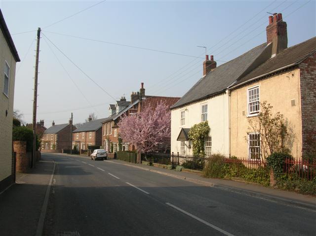
Alne is a small village located in the Ryedale district of North Yorkshire, England. It lies about 10 miles north of the historic city of York, and is nestled in the picturesque countryside of the Vale of York. With a population of around 700 residents, Alne exudes a quaint and charming atmosphere.

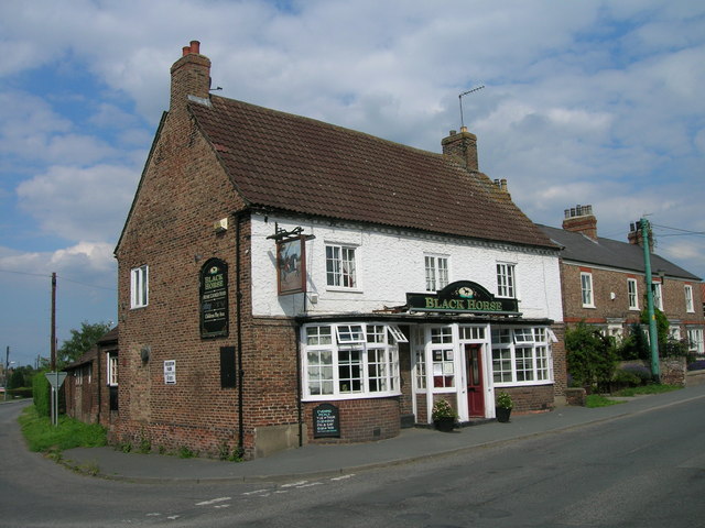
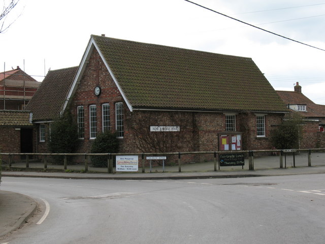
The village is known for its beautiful historic buildings, many of which date back to the 17th and 18th centuries. The centerpiece of Alne is the All Saints Church, a Grade I listed building with a striking tower that dominates the skyline. The village also boasts a number of traditional cottages, elegant manor houses, and a handful of local shops and amenities.

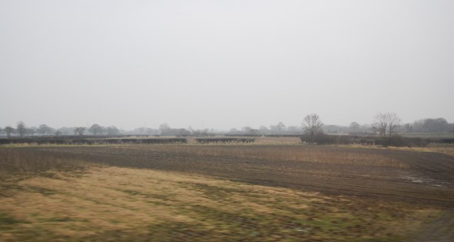
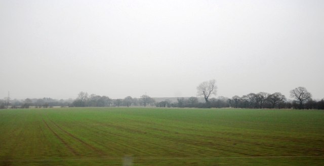
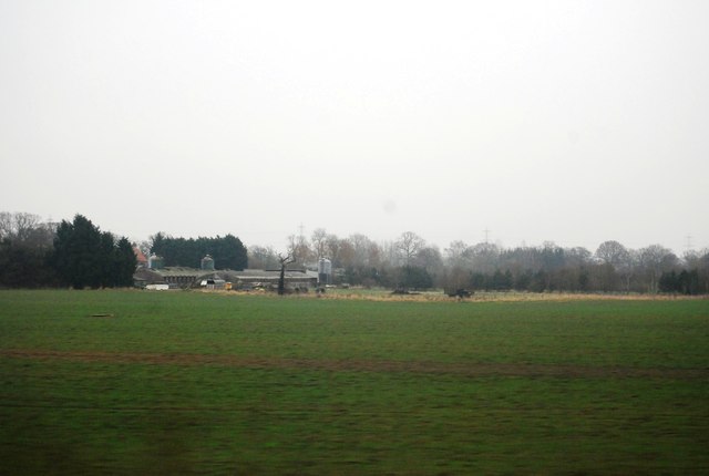
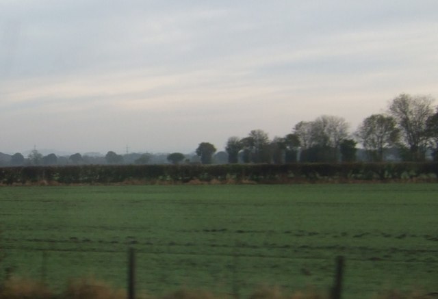
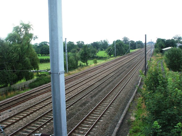
Surrounded by rolling farmland, Alne is an ideal location for those who appreciate the tranquility of rural living. The village is well-connected to nearby towns and cities, with good road links to York and the A1(M) motorway, providing easy access to the wider region.

Alne is also known for its strong community spirit. The village hosts various events throughout the year, including a popular summer fete and a Christmas market, which bring residents together and attract visitors from the surrounding areas.

With its idyllic setting, historic charm, and close proximity to larger towns and cities, Alne offers a peaceful and picturesque retreat for both residents and visitors alike.

If you have any feedback on the listing, please let us know in the comments section below.
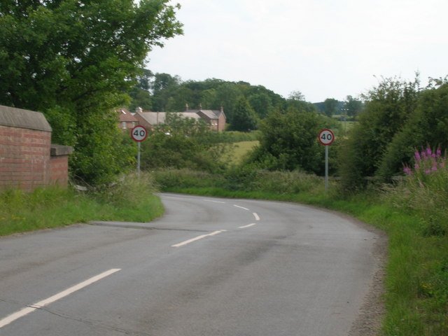
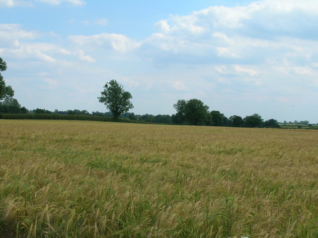
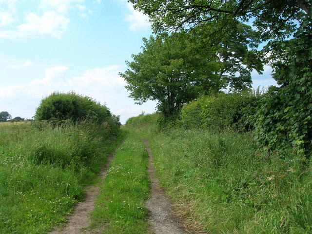
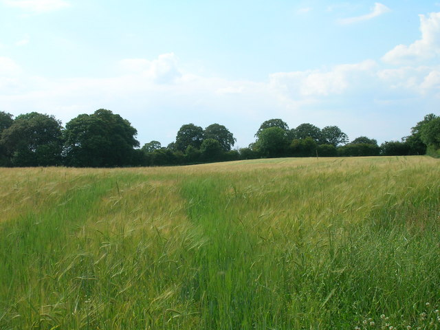
Alne Images

Images are sourced within 2km of 54.083063/-1.241471 or Grid Reference SE4965. Thanks to Geograph Open Source API. All images are credited.

Arable field, Shire Oak Farm
Farmland north of Tollerton
Lane End Farm
Lane End Farm
Railway towards York
Minor road towards Alne
Farmland off Sandy Lane
Sandy Lane (track)
Sandy Lane (track)
Track (footpath) towards Alne
Farmland west of Tollerton
The Black Horse, Tollerton
Farmland, Middle Cavil Field
Alne railway station (site), Yorkshire Opened in 1841 by the great North of England Railway on its line from York to Darlington, this station closed in 1958 to passengers. View south towards Tollerton and York. Little now remains except a former yard to the right of the image.
Alne railway station (site), Yorkshire
Opened in 1841 by the great North of England Railway on its line from York to Darlington, this station closed in 1958 to passengers. View south towards Tollerton and York. Little now remains except a former yard to the right of the image.
Tollerton 2nd railway station (site), Yorkshire Opened in 1899 on the North Eastern Railway's line from York to Darlington, this station replaced an earlier one immediately behind the camera position, when this part of the line was quadrupled. In turn, this station closed in 1965.
View north west towards Alne and Darlington.
Tollerton 2nd railway station (site), Yorkshire
Opened in 1899 on the North Eastern Railway's line from York to Darlington, this station replaced an earlier one immediately behind the camera position, when this part of the line was quadrupled. In turn, this station closed in 1965. View north west towards Alne and Darlington.
View towards pylon line, north of Alne Station Farm can faintly be seen beyond the hedge, towards the left of the picture.
View towards pylon line, north of Alne
Station Farm can faintly be seen beyond the hedge, towards the left of the picture.
Sign for Youlton Looking along the road to Youlton from the north.
Sign for Youlton
Looking along the road to Youlton from the north.
Start of Goose Lane Looking along Goose Lane at the southern end.
Start of Goose Lane
Looking along Goose Lane at the southern end.
Road north of Youlton Looking along the road from Youlton at the junction with Goose Lane.
Road north of Youlton
Looking along the road from Youlton at the junction with Goose Lane.
Field beside Goose Lane Looking into a field from Goose Lane.
Field beside Goose Lane
Looking into a field from Goose Lane.
Show me another place!

Alne is located at Grid Ref: SE4965 (Lat: 54.083063, Lng: -1.241471)

Division: North Riding

Administrative County: North Yorkshire

District: Hambleton

Police Authority: North Yorkshire

What 3 Words

///bounded.guards.encoding. Near Linton upon Ouse, North Yorkshire

Nearby Locations

Alne Alne Park

Related Wikis

Nearby Amenities

Located within 500m of 54.083063,-1.241471
Alne
Place: village
Source: OS_OpenData_StreetView
Wikidata: Q1931414
Wikipedia: en:Alne, North Yorkshire
Lat/Long: 54.0818256/-1.2428111
Post Box
Note: is in window
Post Box Type: wall
Ref: YO61 225
Royal Cypher: GR
Royal Cypher Wikidata: Q33102273
Lat/Long: 54.0825145/-1.2436767
Pub
The Bluebell
Addr City: York
Addr Postcode: YO61 1RR
Addr Street: Main Street
Addr Suburb: Alne
Floor Material: carpet
Food: yes
Note: Closed Mondays (even Easter Bank Holiday Monday!). Closed lunchtimes I think.
Outdoor Seating: yes
Parking: yes
Real Ale: Taylor Landlord
Wheelchair: yes
Wheelchair Description: Ramp to front door, then flat
Lat/Long: 54.0824994/-1.2432135
Public Bookcase
Booth: K6
Colour: red
Covered: booth
Disused Amenity: telephone
Man Made: telephone_box
Public Bookcase Type: phone_box
Source: survey
Lat/Long: 54.0835284/-1.2400568
Bench
Lat/Long: 54.0826718/-1.2440903
Post Office
Alne Post Office
Lat/Long: 54.0824453/-1.2436933
Bench
Lat/Long: 54.0815593/-1.2438559
Bench
Lat/Long: 54.0868127/-1.2374748
Bench
Lat/Long: 54.0808749/-1.2427486
Vending Machine
Vending: eggs
Lat/Long: 54.0836409/-1.2442018
Generator Method: photovoltaic
Generator Output Electricity: yes
Generator Source: solar
Generator Type: solar_photovoltaic_panel
Power: generator
Lat/Long: 54.0822752/-1.2472486
Barrier: yes
Lat/Long: 54.0822676/-1.2391187
Defibrillator
Defibrillator Location: outside Alne Village Hall - to left of entrance
Emergency: defibrillator
Indoor: no
Lat/Long: 54.0824588/-1.2443619
Entrance: yes
Lat/Long: 54.0824566/-1.2443965
Generator Method: photovoltaic
Generator Output Electricity: yes
Generator Source: solar
Generator Type: solar_photovoltaic_panel
Power: generator
Lat/Long: 54.085784/-1.2381825
Generator Method: photovoltaic
Generator Output Electricity: yes
Generator Source: solar
Generator Type: solar_photovoltaic_panel
Power: generator
Lat/Long: 54.0843258/-1.2380479
Generator Method: photovoltaic
Generator Output Electricity: yes
Generator Source: solar
Generator Type: solar_photovoltaic_panel
Power: generator
Lat/Long: 54.0851709/-1.2392885
Home Farm CAMC CL
Addr City: York
Addr Postcode: YO61 1RY
Addr Street: Monk Green
Addr Suburb: Alne
Description: Caravan and Motorhome Club Certificated Location. CAMC members only. 5 pitches only.
Power Supply: yes
Sanitary Dump Station: yes
Tourism: caravan_site
Lat/Long: 54.0814756/-1.2403997
Cafe
Whiteley's at Home Farm
Addr City: York
Addr Postcode: YO61 1RY
Addr Street: Monk Green
Addr Suburb: Alne
Outdoor Seating: yes
Lat/Long: 54.0818296/-1.2411609
The data included in this document is from www.openstreetmap.org. The data is made available under ODbL.

Have you been to Alne?

Leave your review of Alne below (or comments, questions and feedback).