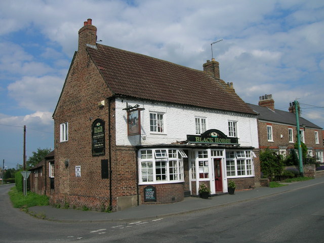
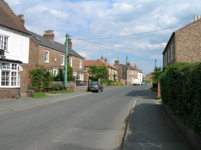
Alne Park
Downs, Moorland in Yorkshire Hambleton
England
Alne Park
Alne Park is a captivating estate located in the picturesque region of Yorkshire, England. Nestled amidst the breathtaking landscapes of the Yorkshire Downs and Moorland, the park spans over a vast area, offering visitors a diverse range of natural wonders to explore.
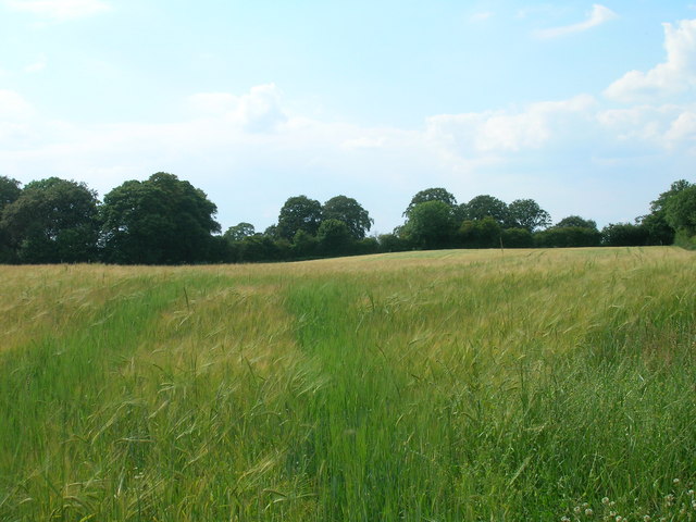
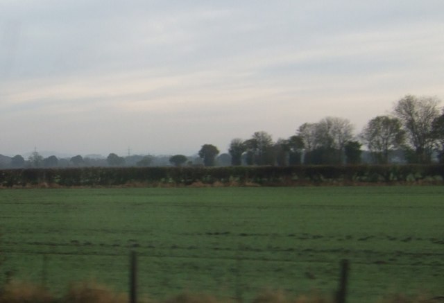
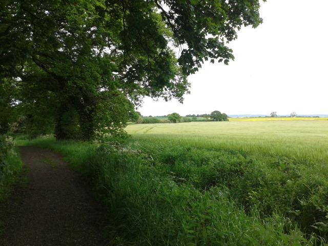
The park's location in the Yorkshire Downs presents visitors with rolling hills, lush green meadows, and charming countryside vistas. It is an idyllic setting for leisurely walks, picnics, and admiring the beauty of nature. The tranquil atmosphere of the downs provides a perfect escape from the hustle and bustle of city life.
In contrast, the Moorland area of Alne Park offers a rugged and wild landscape. Visitors can venture into this untamed terrain, characterized by heather-covered expanses, rocky outcrops, and winding paths. The moorland is home to a variety of wildlife, including birds of prey, sheep, and even the occasional deer. It is a haven for nature enthusiasts and birdwatchers who can observe a rich diversity of flora and fauna.
Alne Park also boasts a rich history, with some parts of the estate dating back centuries. The park features architectural gems, such as an ancient manor house and a quaint chapel, offering visitors a glimpse into the past.
Overall, Alne Park in Yorkshire is a haven for nature lovers, history enthusiasts, and those seeking tranquility amidst stunning landscapes. With its unique blend of downs and moorland, it offers a captivating experience that showcases the beauty and diversity of Yorkshire's countryside.
If you have any feedback on the listing, please let us know in the comments section below.
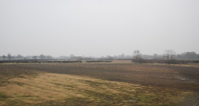
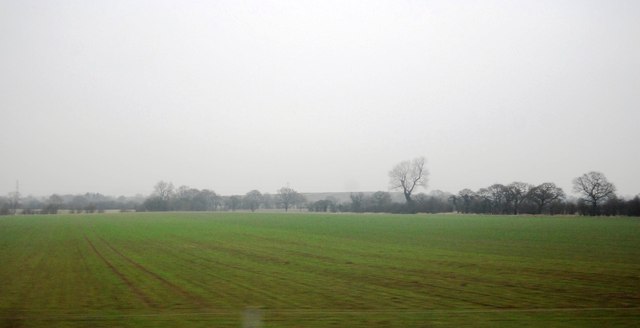
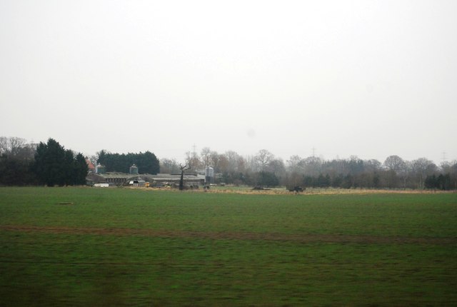
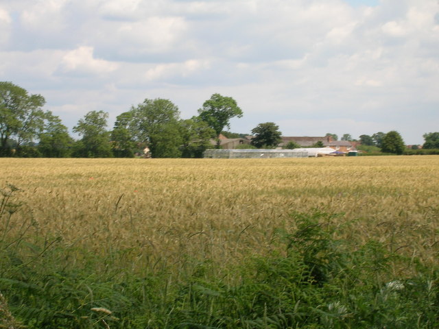
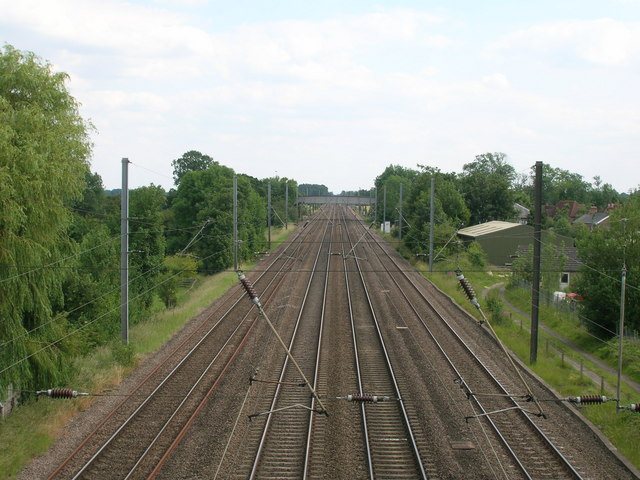
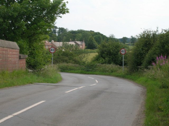
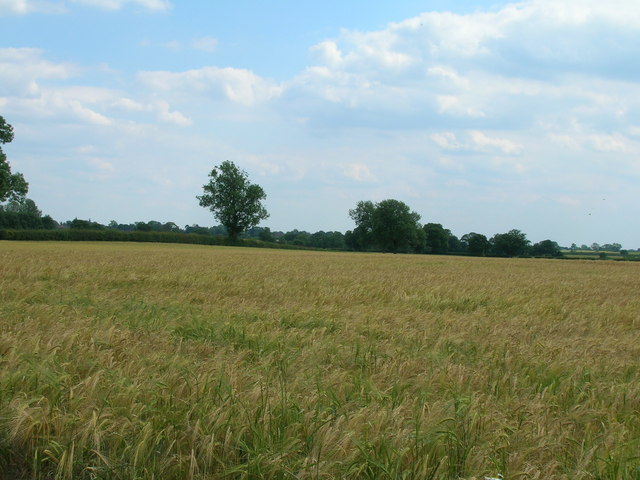
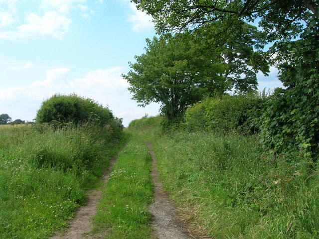
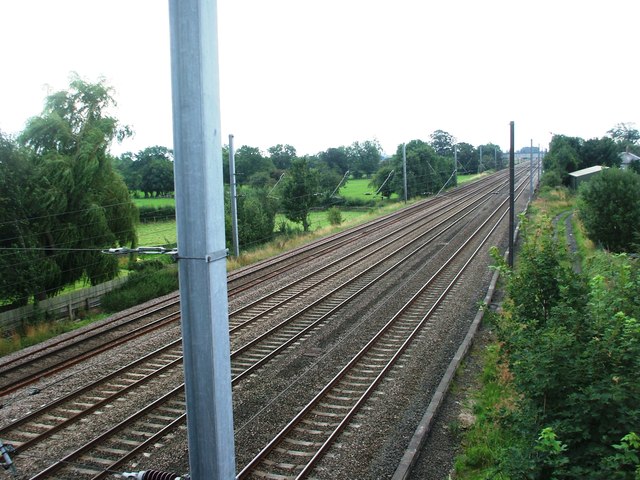
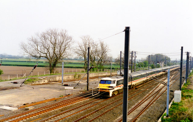
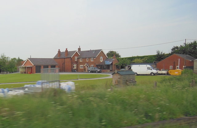
Alne Park Images
Images are sourced within 2km of 54.079314/-1.2389088 or Grid Reference SE4965. Thanks to Geograph Open Source API. All images are credited.

Alne Park is located at Grid Ref: SE4965 (Lat: 54.079314, Lng: -1.2389088)
Division: North Riding
Administrative County: North Yorkshire
District: Hambleton
Police Authority: North Yorkshire
What 3 Words
///finalists.lots.sinkhole. Near Linton upon Ouse, North Yorkshire
Related Wikis
Alne, North Yorkshire
Alne is a village and civil parish in the Hambleton District of North Yorkshire, England, about twelve miles north-west of York and four miles from Easingwold...

Dishforth
Dishforth is a village and civil parish in the Harrogate district of North Yorkshire, England. Dishforth translates from Old English as dic-ford; a ford...

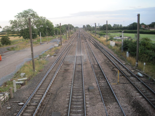
Alne railway station
Alne railway station was a station which served the village of Alne in the English county of North Yorkshire. It was served by trains on the main line...

Tollerton railway station
Tollerton railway station served the village of Tollerton, Yorkshire, England from 1841 to 1965 on the East Coast Main Line. == History == The station...

Flawith
Flawith is a village and civil parish in Hambleton district of North Yorkshire, England. It is situated approximately 4 miles (6.4 km) south-west of Easingwold...
Tollerton, North Yorkshire
Tollerton is a village and civil parish in the Hambleton District of North Yorkshire, England. Tollerton is situated close to both the A19 and the River...

Youlton
Youlton is a village and civil parish in Hambleton District of North Yorkshire, England. It is situated approximately 5 miles (8 km) south-west of Easingwold...

Tholthorpe
Tholthorpe is a village and civil parish in the Hambleton district of North Yorkshire, England. It is situated approximately 4 miles (6 km) south-west...
Nearby Amenities
Located within 500m of 54.079314,-1.2389088Have you been to Alne Park?
Leave your review of Alne Park below (or comments, questions and feedback).