Alne
Civil Parish in Yorkshire Hambleton
England
Alne
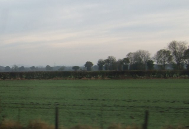
Alne is a small civil parish located in the Ryedale district of North Yorkshire, England. Situated approximately 11 miles north of York, the village is nestled in the scenic Howardian Hills, an Area of Outstanding Natural Beauty.
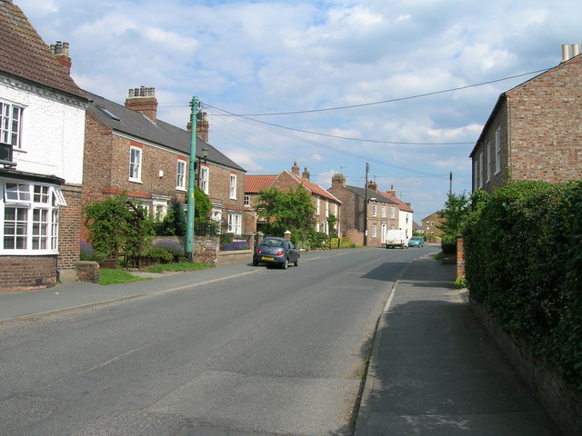
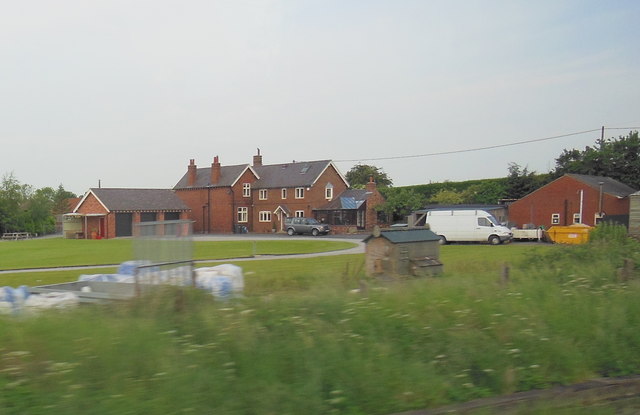
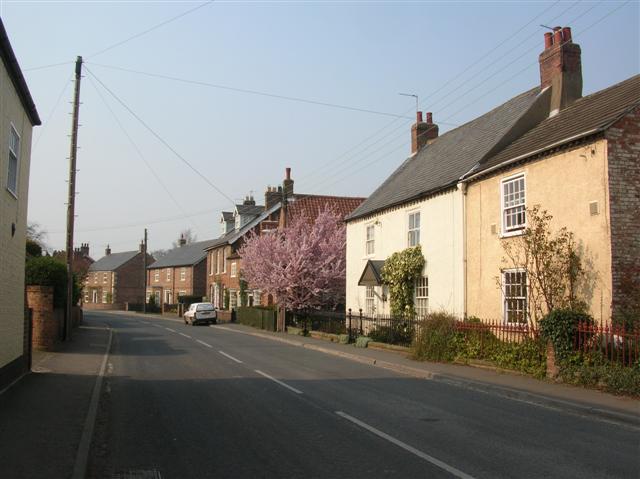
With a recorded history dating back to the Domesday Book, Alne has a rich heritage and a charming character. The village is known for its picturesque setting, surrounded by lush green fields and rolling countryside. It is home to several historic buildings, including St. Mary's Church, a Grade I listed structure that dates back to the 11th century.
Alne is a close-knit community with a population of around 700 residents. It offers a peaceful and tranquil living environment, making it an attractive place for those seeking a rural lifestyle. The village has a strong sense of community spirit and hosts various events throughout the year, such as the Alne Street Fair and the Alne Scarecrow Festival.
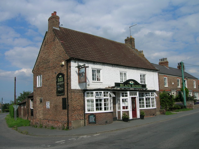
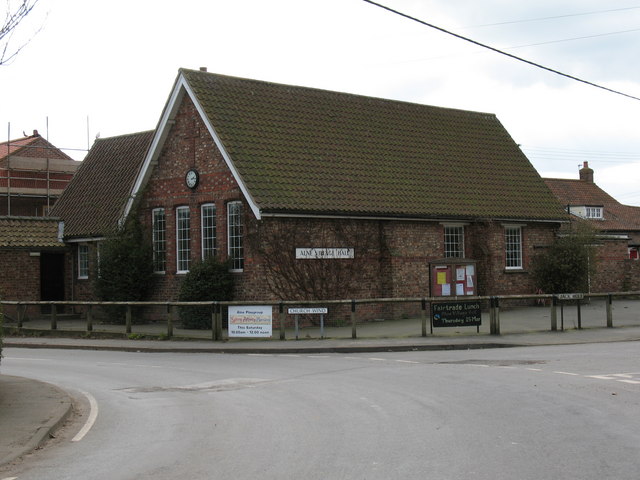
Amenities in Alne include a village hall, a primary school, a pub, and a cricket club. The village is well-connected, with regular bus services to nearby towns and cities. It also benefits from its proximity to the A19 road, providing easy access to York and other major transport routes.
Nature enthusiasts and outdoor lovers are drawn to Alne for its idyllic location, offering plenty of opportunities for walking, cycling, and exploring the beautiful Yorkshire countryside. The village provides a peaceful retreat from the hustle and bustle of city life while still being conveniently located for access to urban amenities.
If you have any feedback on the listing, please let us know in the comments section below.
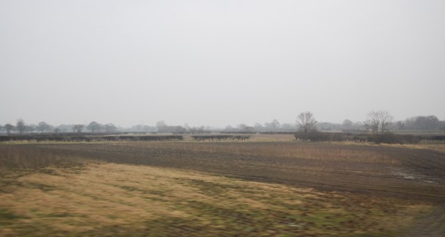
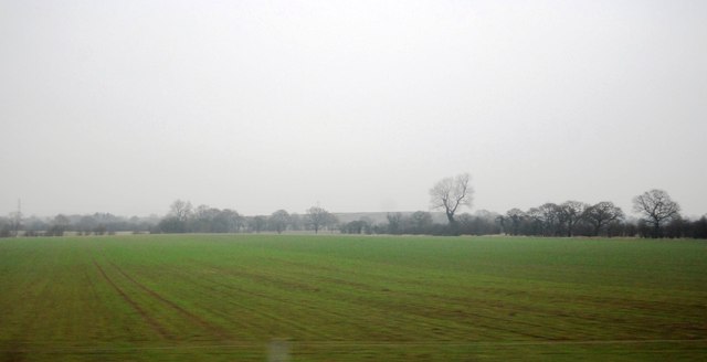
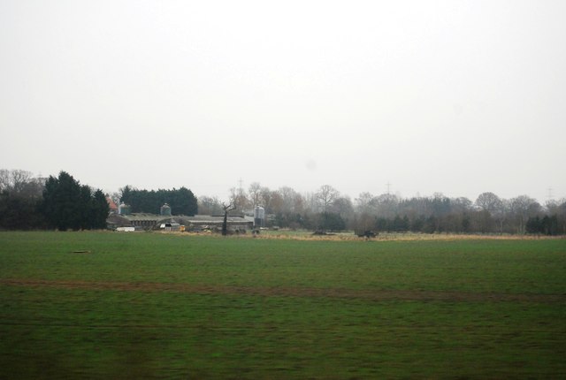
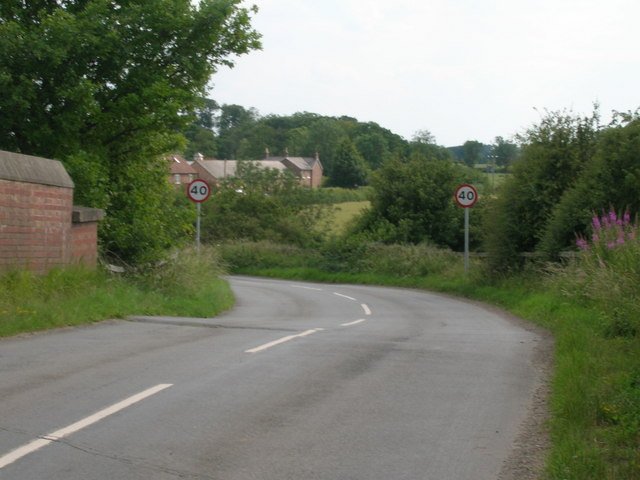
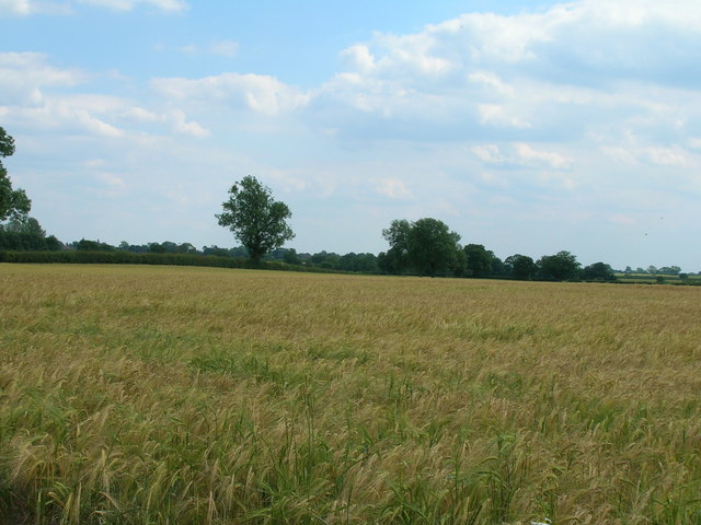
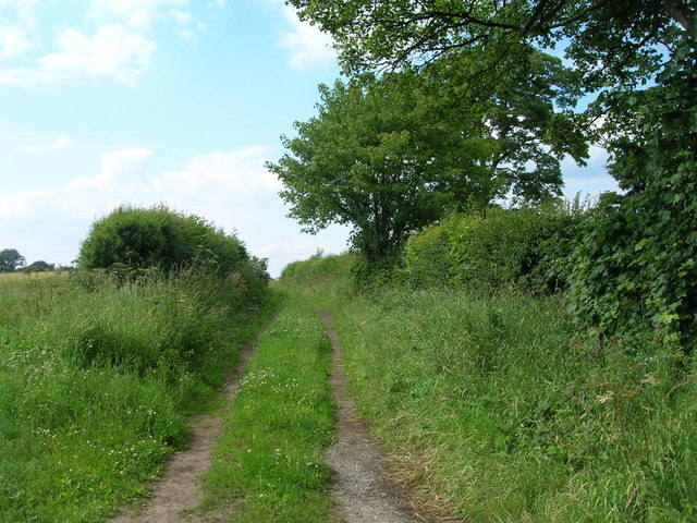
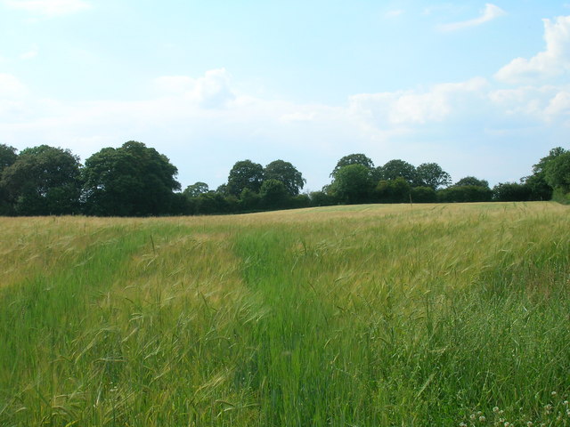
Alne Images
Images are sourced within 2km of 54.088022/-1.229884 or Grid Reference SE5066. Thanks to Geograph Open Source API. All images are credited.


Alne is located at Grid Ref: SE5066 (Lat: 54.088022, Lng: -1.229884)
Division: North Riding
Administrative County: North Yorkshire
District: Hambleton
Police Authority: North Yorkshire
What 3 Words
///clay.woodstove.fighters. Near Easingwold, North Yorkshire
Nearby Locations
Related Wikis

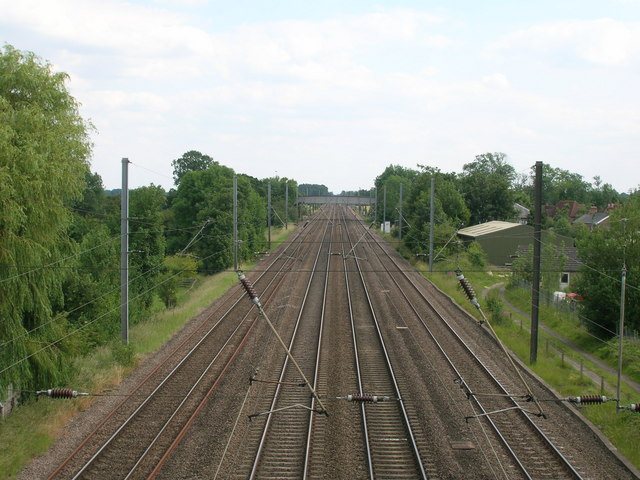
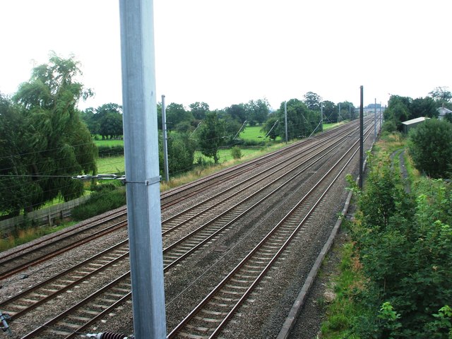
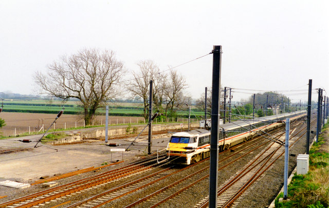
Alne railway station
Alne railway station was a station which served the village of Alne in the English county of North Yorkshire. It was served by trains on the main line...
Alne, North Yorkshire
Alne is a village and civil parish in the Hambleton District of North Yorkshire, England, about twelve miles north-west of York and four miles from Easingwold...

Dishforth
Dishforth is a village and civil parish in the Harrogate district of North Yorkshire, England. Dishforth translates from Old English as dic-ford; a ford...

Tollerton railway station
Tollerton railway station served the village of Tollerton, Yorkshire, England from 1841 to 1965 on the East Coast Main Line. == History == The station...
Tollerton, North Yorkshire
Tollerton is a village and civil parish in the Hambleton District of North Yorkshire, England. Tollerton is situated close to both the A19 and the River...

Flawith
Flawith is a village and civil parish in Hambleton district of North Yorkshire, England. It is situated approximately 4 miles (6.4 km) south-west of Easingwold...

Vale of York (UK Parliament constituency)
Vale of York was a county constituency represented in the House of Commons of the Parliament of the United Kingdom. It elected one Member of Parliament...

Youlton
Youlton is a village and civil parish in Hambleton District of North Yorkshire, England. It is situated approximately 5 miles (8 km) south-west of Easingwold...
Nearby Amenities
Located within 500m of 54.088022,-1.229884Have you been to Alne?
Leave your review of Alne below (or comments, questions and feedback).