Calverton

Settlement in Nottinghamshire Gedling

England

Calverton

Bridleway to the Oxton bypass
Bridleway to the Oxton bypass Credit: Jonathan Thacker

Calverton is a village located in the Gedling borough of Nottinghamshire, England. Situated approximately seven miles north-east of Nottingham city center, it lies on the edge of Sherwood Forest and borders the county of Derbyshire. Calverton has a population of around 7,000 residents.

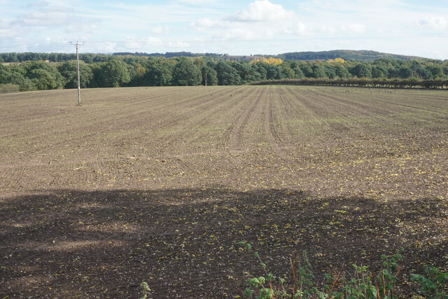
The village has a rich history dating back to medieval times when it was primarily an agricultural community. However, in the 19th century, Calverton experienced significant industrial growth with the establishment of coal mining operations. The village became known for its collieries, which provided employment for many of its inhabitants.

Today, Calverton retains its rural charm while embracing modern amenities. It offers a range of local shops, including a supermarket, convenience stores, and various independent businesses. The village also features several pubs, restaurants, and cafes, providing options for dining and socializing.

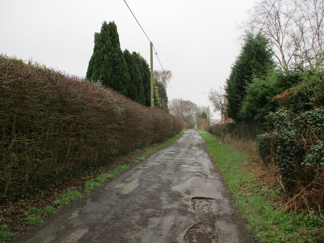
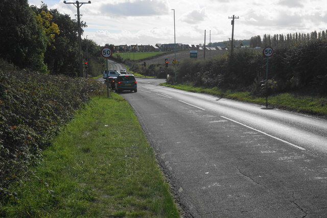
Calverton is well-served by public transportation, with regular bus services connecting it to nearby towns and cities. The village also benefits from easy access to major road networks, including the A614 and A60, facilitating commuting and travel.

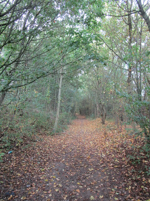
The area surrounding Calverton is renowned for its natural beauty, with Sherwood Forest nearby. This ancient woodland is famous for its association with the legendary outlaw Robin Hood. The forest attracts visitors from all over the world, offering picturesque walking trails, cycling routes, and a rich biodiversity of flora and fauna.

In summary, Calverton is a historic village in Nottinghamshire that has evolved from its agrarian roots to become a thriving community with a mix of residential, commercial, and natural attractions.

If you have any feedback on the listing, please let us know in the comments section below.
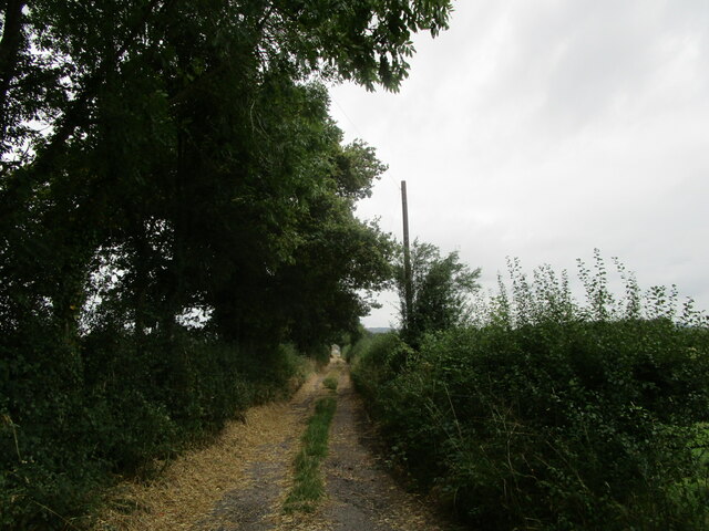
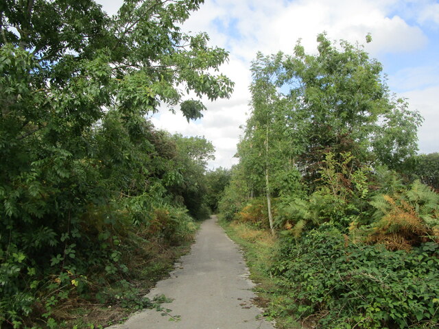
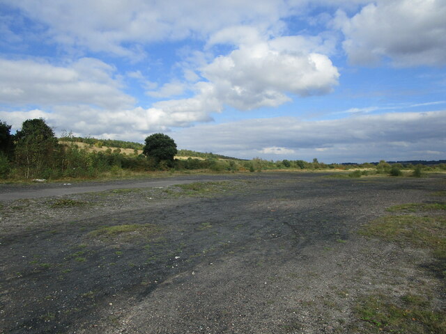
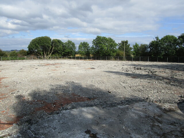
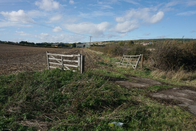
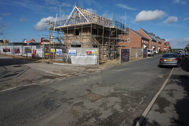
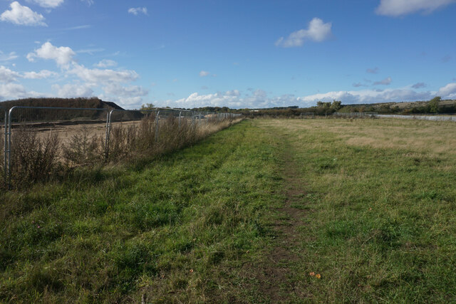
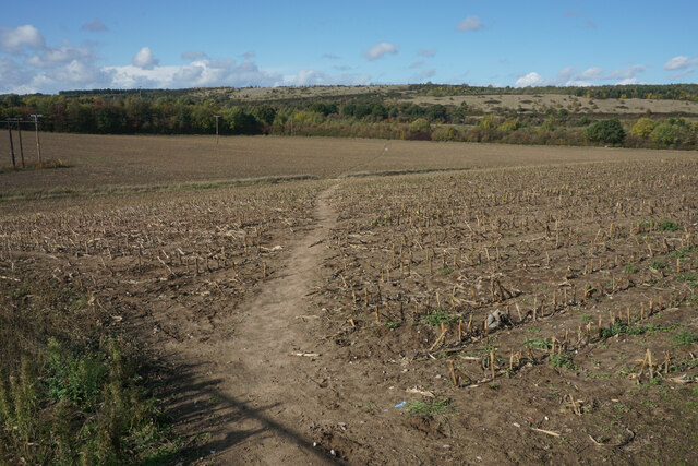
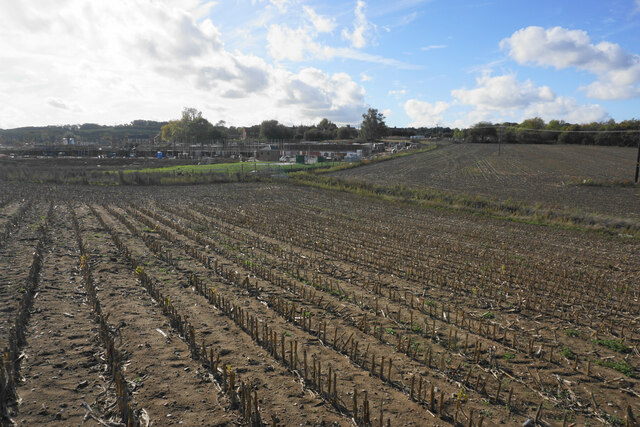
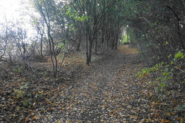
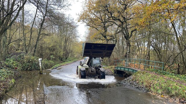
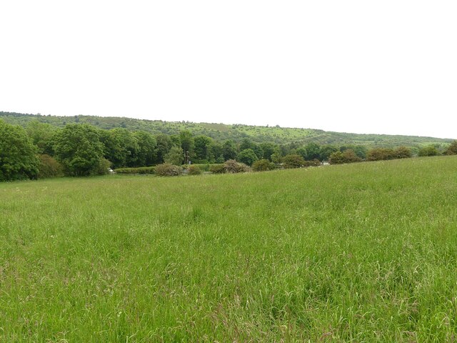
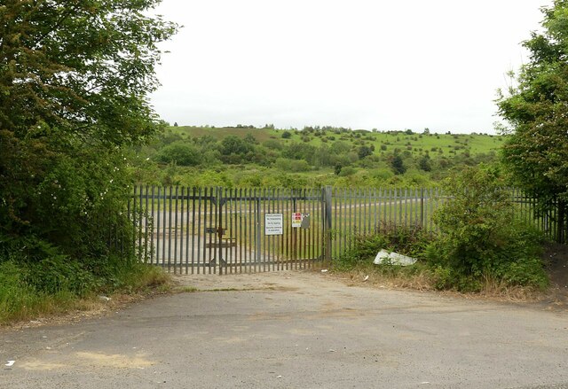
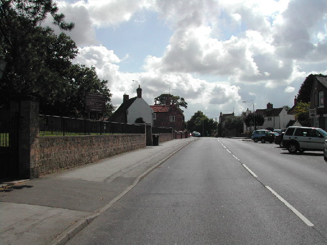
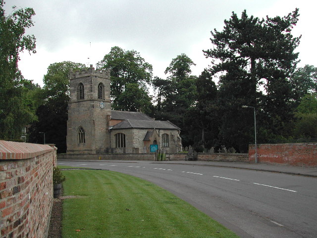
Calverton Images

Images are sourced within 2km of 53.036764/-1.0827953 or Grid Reference SK6149. Thanks to Geograph Open Source API. All images are credited.

Bridleway to the Oxton bypass
Hollinwood Lane, Calverton A byway.
Hollinwood Lane, Calverton
A byway.
The site of Calverton Colliery The colliery opened in 1952 and closed in 1999.
The site of Calverton Colliery
The colliery opened in 1952 and closed in 1999.
Vacant site off Hollinwood Lane The site has been vacant for a good many years.
Vacant site off Hollinwood Lane
The site has been vacant for a good many years.
Hollinwood Lane, Calverton A byway, but here no more than a footpath.
Hollinwood Lane, Calverton
A byway, but here no more than a footpath.
Carrington Lane, Calverton
Emerging crop by Whinbush Lane Above Bean Ford which is in the trees ahead.
Emerging crop by Whinbush Lane
Above Bean Ford which is in the trees ahead.
Crossroads near Calverton Whinbush Lane meets the B6386. Some of the houses of Calverton are seen on the rise ahead.
Crossroads near Calverton
Whinbush Lane meets the B6386. Some of the houses of Calverton are seen on the rise ahead.
Field entrance near Calverton This field is now on the edge of Calverton as new housing advances from the left.
Field entrance near Calverton
This field is now on the edge of Calverton as new housing advances from the left.
Willow Rise New housing on the edge of Calverton on the western side of Flatts Lane.
Willow Rise
New housing on the edge of Calverton on the western side of Flatts Lane.
Footpath near Calverton The path is going round a site on the left which will bring a large housing expansion of Calverton.
Footpath near Calverton
The path is going round a site on the left which will bring a large housing expansion of Calverton.
Footpath near Calverton Moving away from the village. The high ground ahead was the tip of the former colliery. The last crop in this field was sweetcorn.
Footpath near Calverton
Moving away from the village. The high ground ahead was the tip of the former colliery. The last crop in this field was sweetcorn.
Stubble field near Calverton A former crop of sweetcorn. Beyond the field is the north west expansion of housing in Calverton.
Stubble field near Calverton
A former crop of sweetcorn. Beyond the field is the north west expansion of housing in Calverton.
Footpath to Calverton A new location for a supermarket trolley.
Footpath to Calverton
A new location for a supermarket trolley.
Byway to Calverton Not suitable for vehicles.
Byway to Calverton
Not suitable for vehicles.
Bean Ford This is another visit to the ford at Beanford. A video of the ford can be viewed at:
<span class="nowrap"><a title="https://youtu.be/FqtiRLc8KDo" rel="nofollow ugc noopener" href="https://youtu.be/FqtiRLc8KDo">Link</a><img style="margin-left:2px;" alt="External link" title="External link - shift click to open in new window" src="https://s1.geograph.org.uk/img/external.png" width="10" height="10"/></span>
Bean Ford
This is another visit to the ford at Beanford. A video of the ford can be viewed at: LinkExternal link
Post industrial landscape near Calverton 50 years ago, the view would have been dominated by the winding towers and coal washing plant of Calverton Colliery. The hillside in the background is largely artificial, formed by the colliery spoil tip.
Post industrial landscape near Calverton
50 years ago, the view would have been dominated by the winding towers and coal washing plant of Calverton Colliery. The hillside in the background is largely artificial, formed by the colliery spoil tip.
Post industrial landscape near Calverton Former colliery entrance gates. Despite the fence along the road, the area is largely freely accessible. The upper slopes of the former waste tip in the background have been taken over by the Forestry Commission and are designated Open Access Land.
Post industrial landscape near Calverton
Former colliery entrance gates. Despite the fence along the road, the area is largely freely accessible. The upper slopes of the former waste tip in the background have been taken over by the Forestry Commission and are designated Open Access Land.
Show me another place!

Calverton is located at Grid Ref: SK6149 (Lat: 53.036764, Lng: -1.0827953)

Administrative County: Nottinghamshire

District: Gedling

Police Authority: Nottinghamshire

What 3 Words

///blown.price.competent. Near Calverton, Nottinghamshire

Nearby Locations

Calverton

Related Wikis

Calverton, Nottinghamshire

Calverton () is a village and civil parish in Nottinghamshire, of some 3,300 acres (1,300 ha), in the Gedling district, about 7 miles north-east of Nottingham...

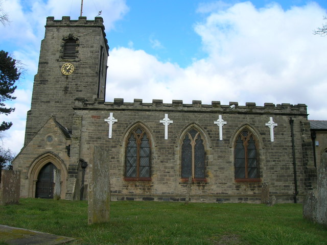
St Wilfrid's Church, Calverton

St Wilfrid's Church is a Grade II* listed parish church in the Church of England in Calverton, Nottinghamshire. == History == St Wilfrid’s church seems...

Colonel Frank Seely Academy

Colonel Frank Seely Academy (formerly Colonel Frank Seely School) is a coeducational secondary school and sixth form located in Calverton in the English...

Calverton Miners' Welfare F.C.

Calverton Miners' Welfare Football Club is an association football club in Calverton, near Nottingham, Nottinghamshire, England. They are currently members...

St Swithun's Church, Woodborough

St Swithun's Church is a parish church in the Church of England in Woodborough, Nottinghamshire. == History == The church is medieval with the chancel...

Woodborough, Nottinghamshire

Woodborough is a village and civil parish in the Gedling district, in the county of Nottinghamshire, England. It is located 7 miles north-east of Nottingham...

Oxton, Nottinghamshire

Oxton is a village in Nottinghamshire, England, with a 568 residents at the 2011 census. It is located 5 miles (8 km) west of Southwell, 5 miles (8 km...

Arnold Town F.C.

Arnold Town Football Club is a football club based in Arnold, Nottinghamshire, England. They are currently members of the Central Midlands League South...

Nearby Amenities

Located within 500m of 53.036764,-1.0827953
Calverton
Is In: Nottinghamshire, United Kingdom
Place: village
Wikidata: Q2475716
Wikipedia: en:Calverton, Nottinghamshire
Lat/Long: 53.0367494/-1.0859818
Bus Stop
High Hurst
Bus: yes
Naptan AtcoCode: 3300GE0153
Naptan Bearing: W
Naptan CommonName: High Hurst
Naptan Crossing: High Hurst
Naptan Indicator: opp
Naptan NaptanCode: ntsawptj
Naptan Notes: none
Naptan Street: Main Street
Naptan Verified: no
Public Transport: platform
Source: naptan_import
Lat/Long: 53.0370718/-1.0845785
Bus Stop
Church Meadow
Bus: yes
Naptan AtcoCode: 3300GE0243
Naptan Bearing: N
Naptan CommonName: Church Meadow
Naptan Crossing: Church Meadow
Naptan Indicator: adj
Naptan NaptanCode: ntsatwpg
Naptan Notes: none
Naptan Street: Bonner Hill
Naptan Verified: no
Public Transport: platform
Source: naptan_import
Lat/Long: 53.0344036/-1.0778197
Bus Stop
Church Meadow
Bus: yes
Naptan AtcoCode: 3300GE0244
Naptan Bearing: S
Naptan CommonName: Church Meadow
Naptan Crossing: Church Meadow
Naptan Indicator: opp
Naptan NaptanCode: ntsatwpj
Naptan Notes: none
Naptan Street: Bonner Hill
Naptan Verified: no
Public Transport: platform
Source: naptan_import
Lat/Long: 53.0352643/-1.077518
Bus Stop
Bonner Hill
Bus: yes
Naptan AtcoCode: 3300GE0256
Naptan Bearing: E
Naptan CommonName: Bonner Hill
Naptan Crossing: Bonner Hill
Naptan Indicator: opp
Naptan NaptanCode: ntsdtpaj
Naptan Notes: none
Naptan Street: Bonner Lane
Naptan Verified: no
Public Transport: platform
Source: naptan_import
Lat/Long: 53.0355532/-1.0776759
Bus Stop
St Wilfrids Church
Bus: yes
Naptan AtcoCode: 3300GE0257
Naptan Bearing: SE
Naptan CommonName: St Wilfrids Church
Naptan Crossing: The Avenue
Naptan Indicator: adj
Naptan Landmark: St Wilfrids Church
Naptan NaptanCode: ntsdtpam
Naptan Notes: none
Naptan Street: Bonner Lane
Naptan Verified: no
Public Transport: platform
Source: naptan_import
Lat/Long: 53.0363829/-1.0815059
Bus Stop
Old Hall Close
Bus: yes
Naptan AtcoCode: 3300GE0258
Naptan Bearing: W
Naptan CommonName: Old Hall Close
Naptan Crossing: Old Hall Close
Naptan Indicator: opp
Naptan Landmark: James Seely Park
Naptan NaptanCode: ntsdtpap
Naptan Notes: BW
Naptan Street: Main Street
Naptan Verified: no
Public Transport: platform
Source: naptan_import
Lat/Long: 53.0369684/-1.0886672
Bus Stop
St Wilfrids Square
Bus: yes
Naptan AtcoCode: 3300GE0300
Naptan Bearing: S
Naptan CommonName: St Wilfrids Square
Naptan Crossing: Crookdole Lane
Naptan Indicator: adj
Naptan Landmark: St Wilfrids Square
Naptan NaptanCode: ntsatdgj
Naptan Notes: none
Naptan Street: Collyer Road
Naptan Verified: no
Public Transport: platform
Source: naptan_import
Lat/Long: 53.0373253/-1.0824702
Bus Stop
Nabarro Court
Bus: yes
Naptan AtcoCode: 3300GE0302
Naptan Bearing: E
Naptan CommonName: Nabarro Court
Naptan Indicator: opp
Naptan Landmark: Nabarro Court
Naptan NaptanCode: ntsatdgp
Naptan Notes: none
Naptan Street: Collyer Road
Naptan Verified: no
Public Transport: platform
Source: naptan_import
Lat/Long: 53.0393745/-1.0870951
Bus Stop
Collyer Road
Bus: yes
Naptan AtcoCode: 3300GE0310
Naptan Bearing: NE
Naptan CommonName: Collyer Road
Naptan Crossing: Collyer Road
Naptan Indicator: adj
Naptan Landmark: St Wilfrids Square
Naptan NaptanCode: ntsatdjt
Naptan Notes: none
Naptan Street: Crookdole Lane
Naptan Verified: no
Public Transport: platform
Source: naptan_import
Lat/Long: 53.0376541/-1.081986
Bus Stop
Manor Road
Bus: yes
Naptan AtcoCode: 3300GE0650
Naptan Bearing: E
Naptan CommonName: Manor Road
Naptan Crossing: Manor Road
Naptan Indicator: adj
Naptan Landmark: Admiral Rodney
Naptan NaptanCode: ntsdmptg
Naptan Notes: None
Naptan Street: Main Street
Naptan Verified: no
Public Transport: platform
Source: naptan_import
Lat/Long: 53.037147/-1.0863565
Bus Stop
Manor Road
Bus: yes
Naptan AtcoCode: 3300GE0651
Naptan Bearing: W
Naptan CommonName: Manor Road
Naptan Crossing: Manor Road
Naptan Indicator: opp
Naptan Landmark: Admiral Rodney
Naptan NaptanCode: ntsdmptj
Naptan Notes: None
Naptan Street: Main Street
Naptan Verified: no
Public Transport: platform
Source: naptan_import
Lat/Long: 53.0370593/-1.0864579
Bus Stop
Crookdole Lane
Bus: yes
Naptan AtcoCode: 3300GE0699
Naptan Bearing: NE
Naptan CommonName: Crookdole Lane
Naptan Crossing: Broom Road
Naptan Indicator: NE-bound
Naptan NaptanCode: ntsgdtdm
Naptan Notes: BW
Naptan Street: Crookdole Lane
Naptan Verified: no
Public Transport: platform
Source: naptan_import
Lat/Long: 53.0382634/-1.0782295
Bus Stop
St Wilfrids Church
Bus: yes
Naptan AtcoCode: 3300GE0700
Naptan Bearing: NW
Naptan CommonName: St Wilfrids Church
Naptan Crossing: The Avenue
Naptan Indicator: opp
Naptan Landmark: St Wilfrids Church
Naptan NaptanCode: ntsgdtdt
Naptan Street: Bonner Lane
Naptan Verified: no
Public Transport: platform
Source: naptan_import
Lat/Long: 53.0360729/-1.0809458
Bus Stop
Old Hall Close
Naptan AtcoCode: 3300GE0767
Naptan Bearing: E
Naptan BusStopType: CUS
Naptan CommonName: Old Hall Close
Naptan Crossing: Old Hall Close
Naptan Indicator: adj
Naptan Landmark: James Seely Park
Naptan NaptanCode: ntsgpagw
Naptan Notes: CUS--3300GE0258
Naptan Street: Main Street
Naptan Verified: no
Source: naptan_import
Lat/Long: 53.03711/-1.0883808
Crookdole Lane
Naptan AtcoCode: 3300GE0795
Naptan Bearing: SW
Naptan BusStopType: CUS
Naptan CommonName: Crookdole Lane
Naptan Crossing: Broom Road
Naptan Indicator: SW-bound
Naptan NaptanCode: ntsgptpj
Naptan Notes: CUS--3300GE0699
Naptan Street: Crookdole Lane
Naptan Verified: no
Source: naptan_import
Lat/Long: 53.038182/-1.0781716
St Wilfrids Square
Naptan AtcoCode: 3300GE0801
Naptan Bearing: N
Naptan BusStopType: CUS
Naptan CommonName: St Wilfrids Square
Naptan Crossing: Main Street
Naptan Indicator: opp
Naptan Landmark: St Wilfrids Square
Naptan NaptanCode: ntsgpwdw
Naptan Notes: This Stop is for service 200 only-CUS--3300GE0300
Naptan Street: Collyer Road
Naptan Verified: no
Source: naptan_import
Lat/Long: 53.0370124/-1.0827006
Community Centre
Calverton Baptist Church Hall
Religion: christian
Source: OS 1:25k
Source Name: survey
Lat/Long: 53.0373043/-1.0833855
Pub
Admiral Rodney
Addr Postcode: NG14 6FB
Addr Street: Main Street
Source: GPS
Source Addr: Food Hygiene Open Data
Lat/Long: 53.0371975/-1.0868487
Restaurant
Oscar's
Source: survey
Lat/Long: 53.0370077/-1.0829356
Barrier: bollard
Fixme: location approximate
Source: survey
Lat/Long: 53.0369253/-1.0838204
Post Box
Lat/Long: 53.0376888/-1.0817049
Pharmacy
Burrows & Close
Addr Housenumber: 3
Addr Postcode: NG14 6FP
Addr Street: St Wilfrid's Square
Dispensing: yes
Healthcare: pharmacy
Lat/Long: 53.0369844/-1.0822722
Post Box
Lat/Long: 53.0354378/-1.0767565
Cafe
Catherine's
Cuisine: sandwich
Lat/Long: 53.0353138/-1.0757409
Bench
Lat/Long: 53.0353909/-1.0775505
Calverton Supreme Home Care Ltd
Addr City: Calverton
Addr Housename: Calverton Supreme Home Care Ltd
Addr Housenumber: 76a
Addr Postcode: NG14 6FN
Addr Street: Main Street
Building: commercial
Building Levels: 1
Height: 4
Lat/Long: 53.0372746/-1.0848406
Generator Method: photovoltaic
Generator Output Electricity: yes
Generator Source: solar
Generator Type: solar_photovoltaic_panel
Location: roof
Power: generator
Lat/Long: 53.0360498/-1.0754587
Generator Method: photovoltaic
Generator Output Electricity: yes
Generator Source: solar
Generator Type: solar_photovoltaic_panel
Location: roof
Power: generator
Lat/Long: 53.0374756/-1.0793506
Generator Method: photovoltaic
Generator Output Electricity: yes
Generator Source: solar
Generator Type: solar_photovoltaic_panel
Location: roof
Power: generator
Lat/Long: 53.0382481/-1.079195
Generator Method: photovoltaic
Generator Output Electricity: yes
Generator Source: solar
Generator Type: solar_photovoltaic_panel
Location: roof
Power: generator
Lat/Long: 53.0382868/-1.0789858
Generator Method: photovoltaic
Generator Output Electricity: yes
Generator Source: solar
Generator Type: solar_photovoltaic_panel
Location: roof
Power: generator
Lat/Long: 53.0383174/-1.0787578
Generator Method: photovoltaic
Generator Output Electricity: yes
Generator Source: solar
Generator Type: solar_photovoltaic_panel
Location: roof
Power: generator
Lat/Long: 53.0383336/-1.0786639
Generator Method: photovoltaic
Generator Output Electricity: yes
Generator Source: solar
Generator Type: solar_photovoltaic_panel
Location: roof
Power: generator
Lat/Long: 53.0387093/-1.0786291
Generator Method: photovoltaic
Generator Output Electricity: yes
Generator Source: solar
Generator Type: solar_photovoltaic_panel
Location: roof
Power: generator
Lat/Long: 53.0385094/-1.0793533
Generator Method: photovoltaic
Generator Output Electricity: yes
Generator Source: solar
Generator Type: solar_photovoltaic_panel
Location: roof
Power: generator
Lat/Long: 53.0389642/-1.0799943
Generator Method: photovoltaic
Generator Output Electricity: yes
Generator Source: solar
Generator Type: solar_photovoltaic_panel
Location: roof
Power: generator
Lat/Long: 53.0392625/-1.0782938
Generator Method: photovoltaic
Generator Output Electricity: yes
Generator Source: solar
Generator Type: solar_photovoltaic_panel
Location: roof
Power: generator
Lat/Long: 53.0393028/-1.0796456
Generator Method: photovoltaic
Generator Output Electricity: yes
Generator Source: solar
Generator Type: solar_photovoltaic_panel
Location: roof
Power: generator
Lat/Long: 53.039277/-1.0797931
Generator Method: photovoltaic
Generator Output Electricity: yes
Generator Source: solar
Generator Type: solar_photovoltaic_panel
Location: roof
Power: generator
Lat/Long: 53.0392399/-1.0800211
Generator Method: photovoltaic
Generator Output Electricity: yes
Generator Source: solar
Generator Type: solar_photovoltaic_panel
Location: roof
Power: generator
Lat/Long: 53.0395076/-1.0782589
Generator Method: photovoltaic
Generator Output Electricity: yes
Generator Source: solar
Generator Type: solar_photovoltaic_panel
Location: roof
Power: generator
Lat/Long: 53.0396431/-1.0792782
Generator Method: photovoltaic
Generator Output Electricity: yes
Generator Source: solar
Generator Type: solar_photovoltaic_panel
Location: roof
Power: generator
Lat/Long: 53.039298/-1.0814347
Generator Method: photovoltaic
Generator Output Electricity: yes
Generator Source: solar
Generator Type: solar_photovoltaic_panel
Location: roof
Power: generator
Lat/Long: 53.0394206/-1.0810136
Generator Method: photovoltaic
Generator Output Electricity: yes
Generator Source: solar
Generator Type: solar_photovoltaic_panel
Location: roof
Power: generator
Lat/Long: 53.0368611/-1.0796376
Generator Method: photovoltaic
Generator Output Electricity: yes
Generator Source: solar
Generator Type: solar_photovoltaic_panel
Location: roof
Power: generator
Lat/Long: 53.0363869/-1.0782348
Generator Method: photovoltaic
Generator Output Electricity: yes
Generator Source: solar
Generator Type: solar_photovoltaic_panel
Location: roof
Power: generator
Lat/Long: 53.0400947/-1.0798709
Generator Method: photovoltaic
Generator Output Electricity: yes
Generator Source: solar
Generator Type: solar_photovoltaic_panel
Location: roof
Power: generator
Lat/Long: 53.0401011/-1.0799782
Generator Method: photovoltaic
Generator Output Electricity: yes
Generator Source: solar
Generator Type: solar_photovoltaic_panel
Location: roof
Power: generator
Lat/Long: 53.0398786/-1.0797717
Generator Method: photovoltaic
Generator Output Electricity: yes
Generator Source: solar
Generator Type: solar_photovoltaic_panel
Location: roof
Power: generator
Lat/Long: 53.0399608/-1.079305
Generator Method: photovoltaic
Generator Output Electricity: yes
Generator Source: solar
Generator Type: solar_photovoltaic_panel
Location: roof
Power: generator
Lat/Long: 53.0396383/-1.079423
Generator Method: photovoltaic
Generator Output Electricity: yes
Generator Source: solar
Generator Type: solar_photovoltaic_panel
Location: roof
Power: generator
Lat/Long: 53.0399802/-1.0790824
Generator Method: photovoltaic
Generator Output Electricity: yes
Generator Source: solar
Generator Type: solar_photovoltaic_panel
Location: roof
Power: generator
Lat/Long: 53.0400237/-1.0788517
Generator Method: photovoltaic
Generator Output Electricity: yes
Generator Source: solar
Generator Type: solar_photovoltaic_panel
Location: roof
Power: generator
Lat/Long: 53.0399221/-1.0784118
Generator Method: photovoltaic
Generator Output Electricity: yes
Generator Source: solar
Generator Type: solar_photovoltaic_panel
Location: roof
Power: generator
Lat/Long: 53.040135/-1.0797422
Generator Method: photovoltaic
Generator Output Electricity: yes
Generator Source: solar
Generator Type: solar_photovoltaic_panel
Location: roof
Power: generator
Lat/Long: 53.0395125/-1.0788651
Generator Method: photovoltaic
Generator Output Electricity: yes
Generator Source: solar
Generator Type: solar_photovoltaic_panel
Location: roof
Power: generator
Lat/Long: 53.0396028/-1.0796671
Generator Method: photovoltaic
Generator Output Electricity: yes
Generator Source: solar
Generator Type: solar_photovoltaic_panel
Location: roof
Power: generator
Lat/Long: 53.0391545/-1.0790555
Generator Method: photovoltaic
Generator Output Electricity: yes
Generator Source: solar
Generator Type: solar_photovoltaic_panel
Location: roof
Power: generator
Lat/Long: 53.0392883/-1.0781946
Generator Method: photovoltaic
Generator Output Electricity: yes
Generator Source: solar
Generator Type: solar_photovoltaic_panel
Location: roof
Power: generator
Lat/Long: 53.038382/-1.0785298
Generator Method: photovoltaic
Generator Output Electricity: yes
Generator Source: solar
Generator Type: solar_photovoltaic_panel
Location: roof
Power: generator
Lat/Long: 53.0382658/-1.0807534
Generator Method: photovoltaic
Generator Output Electricity: yes
Generator Source: solar
Generator Type: solar_photovoltaic_panel
Location: roof
Power: generator
Lat/Long: 53.0386416/-1.0809572
Generator Method: photovoltaic
Generator Output Electricity: yes
Generator Source: solar
Generator Type: solar_photovoltaic_panel
Location: roof
Power: generator
Lat/Long: 53.0386206/-1.0808097
Generator Method: photovoltaic
Generator Output Electricity: yes
Generator Source: solar
Generator Type: solar_photovoltaic_panel
Location: roof
Power: generator
Lat/Long: 53.0398012/-1.0810618
Generator Method: photovoltaic
Generator Output Electricity: yes
Generator Source: solar
Generator Type: solar_photovoltaic_panel
Location: roof
Power: generator
Lat/Long: 53.040156/-1.0814561
Generator Method: photovoltaic
Generator Output Electricity: yes
Generator Source: solar
Generator Type: solar_photovoltaic_panel
Location: roof
Power: generator
Lat/Long: 53.0401511/-1.0813783
Generator Method: photovoltaic
Generator Output Electricity: yes
Generator Source: solar
Generator Type: solar_photovoltaic_panel
Location: roof
Power: generator
Lat/Long: 53.0401221/-1.0812147
Generator Method: photovoltaic
Generator Output Electricity: yes
Generator Source: solar
Generator Type: solar_photovoltaic_panel
Location: roof
Power: generator
Lat/Long: 53.0404962/-1.0812576
Generator Method: photovoltaic
Generator Output Electricity: yes
Generator Source: solar
Generator Type: solar_photovoltaic_panel
Location: roof
Power: generator
Lat/Long: 53.040393/-1.0814561
Generator Method: photovoltaic
Generator Output Electricity: yes
Generator Source: solar
Generator Type: solar_photovoltaic_panel
Location: roof
Power: generator
Lat/Long: 53.0404091/-1.0815098
Generator Method: photovoltaic
Generator Output Electricity: yes
Generator Source: solar
Generator Type: solar_photovoltaic_panel
Location: roof
Power: generator
Lat/Long: 53.0405333/-1.0792433
Generator Method: photovoltaic
Generator Output Electricity: yes
Generator Source: solar
Generator Type: solar_photovoltaic_panel
Location: roof
Power: generator
Lat/Long: 53.0371595/-1.0797771
Generator Method: photovoltaic
Generator Output Electricity: yes
Generator Source: solar
Generator Type: solar_photovoltaic_panel
Location: roof
Power: generator
Lat/Long: 53.0379497/-1.0757403
Generator Method: photovoltaic
Generator Output Electricity: yes
Generator Source: solar
Generator Type: solar_photovoltaic_panel
Location: roof
Power: generator
Lat/Long: 53.0379626/-1.0855492
Generator Method: photovoltaic
Generator Output Electricity: yes
Generator Source: solar
Generator Type: solar_photovoltaic_panel
Location: roof
Power: generator
Lat/Long: 53.0389616/-1.0890533
Generator Method: photovoltaic
Generator Output Electricity: yes
Generator Source: solar
Generator Type: solar_photovoltaic_panel
Location: roof
Power: generator
Lat/Long: 53.0392785/-1.079907
Generator Method: photovoltaic
Generator Output Electricity: yes
Generator Source: solar
Generator Type: solar_photovoltaic_panel
Location: roof
Power: generator
Lat/Long: 53.0370746/-1.0761425
Generator Method: photovoltaic
Generator Output Electricity: yes
Generator Source: solar
Generator Type: solar_photovoltaic_panel
Location: roof
Power: generator
Lat/Long: 53.0360567/-1.0754205
Generator Method: photovoltaic
Generator Output Electricity: yes
Generator Source: solar
Generator Type: solar_photovoltaic_panel
Location: roof
Power: generator
Lat/Long: 53.03583/-1.0841216
Generator Method: photovoltaic
Generator Output Electricity: yes
Generator Source: solar
Generator Type: solar_photovoltaic_panel
Location: roof
Power: generator
Lat/Long: 53.0357356/-1.0838333
Generator Method: photovoltaic
Generator Output Electricity: yes
Generator Source: solar
Generator Type: solar_photovoltaic_panel
Location: roof
Power: generator
Lat/Long: 53.0355719/-1.0836844
Generator Method: photovoltaic
Generator Output Electricity: yes
Generator Source: solar
Generator Type: solar_photovoltaic_panel
Location: roof
Power: generator
Lat/Long: 53.0355848/-1.0835999
Generator Method: photovoltaic
Generator Output Electricity: yes
Generator Source: solar
Generator Type: solar_photovoltaic_panel
Location: roof
Power: generator
Lat/Long: 53.035505/-1.0836402
Direction: S
Generator Method: photovoltaic
Generator Output Electricity: yes
Generator Solar Modules: 12
Generator Source: solar
Generator Type: solar_photovoltaic_panel
Location: roof
Power: generator
Lat/Long: 53.0357987/-1.0828838
Direction: S
Generator Method: photovoltaic
Generator Output Electricity: yes
Generator Solar Modules: 12
Generator Source: solar
Generator Type: solar_photovoltaic_panel
Location: roof
Power: generator
Lat/Long: 53.035868/-1.0828838
Generator Method: photovoltaic
Generator Output Electricity: yes
Generator Source: solar
Generator Type: solar_photovoltaic_panel
Location: roof
Power: generator
Lat/Long: 53.0379473/-1.0859616
Generator Method: photovoltaic
Generator Output Electricity: yes
Generator Source: solar
Generator Type: solar_photovoltaic_panel
Location: roof
Power: generator
Lat/Long: 53.0379602/-1.0860233
Direction: 190
Generator Method: photovoltaic
Generator Output Electricity: yes
Generator Solar Modules: 12
Generator Source: solar
Generator Type: solar_photovoltaic_panel
Location: roof
Power: generator
Lat/Long: 53.0342603/-1.0841404
Direction: 190
Generator Method: photovoltaic
Generator Output Electricity: yes
Generator Solar Modules: 18
Generator Source: solar
Generator Type: solar_photovoltaic_panel
Location: roof
Power: generator
Lat/Long: 53.0342148/-1.0835315
Direction: 190
Generator Method: photovoltaic
Generator Output Electricity: yes
Generator Solar Modules: 18
Generator Source: solar
Generator Type: solar_photovoltaic_panel
Location: roof
Power: generator
Lat/Long: 53.0342083/-1.0833263
Direction: 190
Generator Method: photovoltaic
Generator Output Electricity: yes
Generator Solar Modules: 20
Generator Source: solar
Generator Type: solar_photovoltaic_panel
Location: roof
Power: generator
Lat/Long: 53.0341636/-1.0831325
Direction: 190
Generator Method: photovoltaic
Generator Output Electricity: yes
Generator Solar Modules: 18
Generator Source: solar
Generator Type: solar_photovoltaic_panel
Location: roof
Power: generator
Lat/Long: 53.0341429/-1.0826061
Direction: 185
Generator Method: photovoltaic
Generator Output Electricity: yes
Generator Solar Modules: 14
Generator Source: solar
Generator Type: solar_photovoltaic_panel
Location: roof
Power: generator
Lat/Long: 53.0340472/-1.0814253
Direction: 185
Generator Method: photovoltaic
Generator Output Electricity: yes
Generator Solar Modules: 6
Generator Source: solar
Generator Type: solar_photovoltaic_panel
Location: roof
Power: generator
Lat/Long: 53.0342326/-1.0807568
Direction: 190
Generator Method: photovoltaic
Generator Output Electricity: yes
Generator Solar Modules: 14
Generator Source: solar
Generator Type: solar_photovoltaic_panel
Location: roof
Power: generator
Lat/Long: 53.034226/-1.0798797
Direction: 185
Generator Method: photovoltaic
Generator Output Electricity: yes
Generator Solar Modules: 10
Generator Source: solar
Generator Type: solar_photovoltaic_panel
Location: roof
Power: generator
Lat/Long: 53.0339626/-1.0797462
Direction: 185
Generator Method: photovoltaic
Generator Output Electricity: yes
Generator Solar Modules: 16
Generator Source: solar
Generator Type: solar_photovoltaic_panel
Location: roof
Power: generator
Lat/Long: 53.033942/-1.0793439
Direction: 95
Generator Method: photovoltaic
Generator Output Electricity: yes
Generator Source: solar
Generator Type: solar_photovoltaic_panel
Location: roof
Power: generator
Lat/Long: 53.0347716/-1.0797637
Direction: 80
Generator Method: photovoltaic
Generator Output Electricity: yes
Generator Source: solar
Generator Type: solar_photovoltaic_panel
Location: roof
Power: generator
Lat/Long: 53.0381531/-1.0767824
Direction: 260
Generator Method: photovoltaic
Generator Output Electricity: yes
Generator Source: solar
Generator Type: solar_photovoltaic_panel
Location: roof
Power: generator
Lat/Long: 53.0381257/-1.0768307
Camera Mount: pole
Camera Type: dome
Man Made: surveillance
Surveillance: public
Surveillance Type: camera
Surveillance Zone: town
Lat/Long: 53.0375017/-1.0825179
The data included in this document is from www.openstreetmap.org. The data is made available under ODbL.

Have you been to Calverton?

Leave your review of Calverton below (or comments, questions and feedback).