Choille Aundrary

Wood, Forest in Ross-shire

Scotland

Choille Aundrary

Loch Bad an Sgalaig
Loch Bad an Sgalaig Credit: Peter Moore

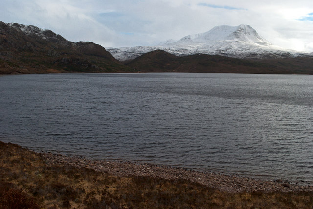
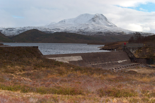
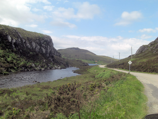
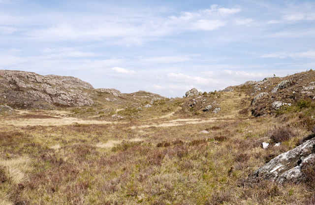
Choille Aundrary is a small woodland area located in Ross-shire, a county in the Scottish Highlands. Covering an approximate area of 50 acres, the woodland is characterized by its dense forest of native trees, creating a peaceful and serene environment.

The woodland boasts a diverse range of tree species, including oak, birch, hazel, and pine. These trees form a dense canopy, providing shade and shelter to a variety of flora and fauna. The forest floor is carpeted with a rich layer of moss, ferns, and wildflowers, further enhancing the natural beauty of the area.

Choille Aundrary is home to a wide array of wildlife, making it an ideal spot for nature enthusiasts and bird watchers. Red squirrels, badgers, and deer are commonly spotted in the woodland, while birds such as woodpeckers, owls, and various songbirds can be heard throughout the day.

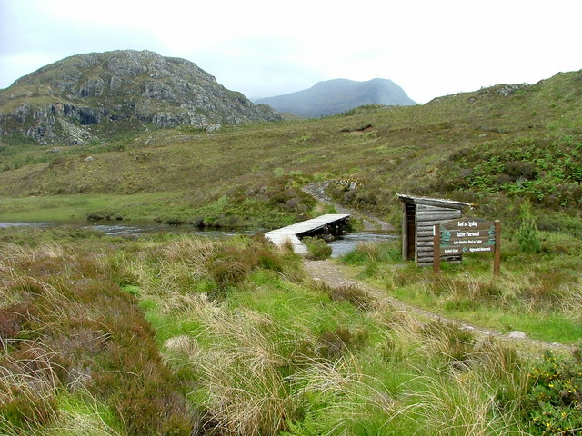
The woodland offers several walking trails, allowing visitors to explore its beauty at their own pace. These trails are well-maintained and suitable for all ages and abilities. There are also picnic areas and benches strategically placed throughout, providing visitors with opportunities to rest and soak in the tranquil atmosphere.

Choille Aundrary is not only a haven for nature lovers but also a valuable ecosystem that contributes to the overall health and biodiversity of the region. Its preservation and conservation are essential to maintain the delicate balance of the local ecosystem and ensure future generations can enjoy its natural splendor.

If you have any feedback on the listing, please let us know in the comments section below.

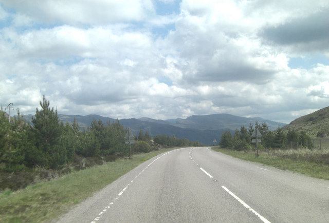
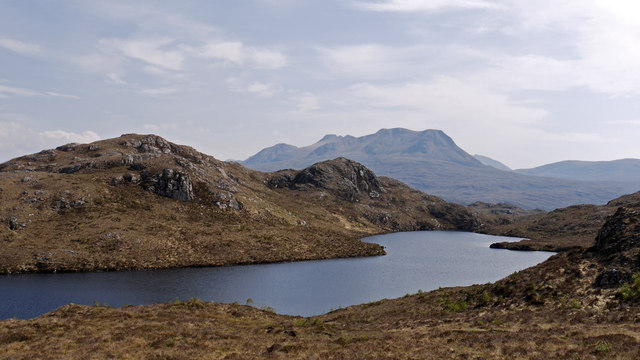
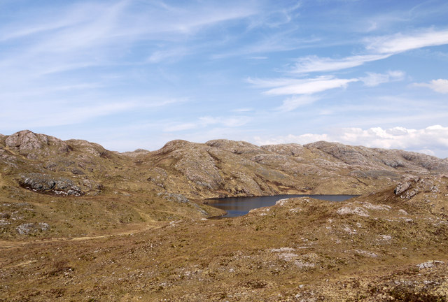
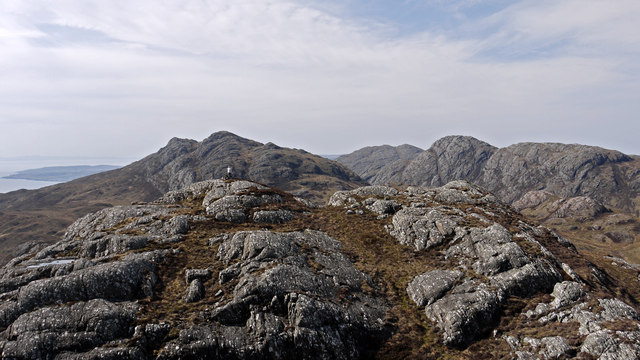
Choille Aundrary Images

Images are sourced within 2km of 57.689031/-5.6188449 or Grid Reference NG8472. Thanks to Geograph Open Source API. All images are credited.

Loch Bad an Sgalaig
Loch Bad an Sgalaig
Wee Hydro Dam
Wee Hydro Dam
Heading for Am Feur-Loch On the track from Loch na h-Oidhche, as it heads downhill before levelling out by the loch. Taken before the regeneration project for this spot was started.
Heading for Am Feur-Loch
On the track from Loch na h-Oidhche, as it heads downhill before levelling out by the loch. Taken before the regeneration project for this spot was started.
Lone derelict cottage Taken from a layby on the A832.
Looking across Loch Bad an Sgalaig.
Lone derelict cottage
Taken from a layby on the A832. Looking across Loch Bad an Sgalaig.
Road beside Loch Bad an Sgalaig The A832 which has passing places on this stretch.
Road beside Loch Bad an Sgalaig
The A832 which has passing places on this stretch.
Loch Bad an Sgalaig Dam This loch was dammed in 1949 to power the Kerry Falls power station.
Loch Bad an Sgalaig Dam
This loch was dammed in 1949 to power the Kerry Falls power station.
Footbridge and path to Bad na Sgalag native pinewood The water is the outflow from Am Feur-Loch.
Footbridge and path to Bad na Sgalag native pinewood
The water is the outflow from Am Feur-Loch.
Am Feur-Loch
Am Feur-Loch
Outflow from Am Feur-Loch The water in the far distance is Loch Bad an Sgalaig.
Outflow from Am Feur-Loch
The water in the far distance is Loch Bad an Sgalaig.
A832 runs beside Am Feur-Loch Feur-Loch is grassy loch?
A832 runs beside Am Feur-Loch
Feur-Loch is grassy loch?
Dam across Loch Bad an Sgalaig outfall The loch of the clump of the farm worker is the rather convoluted name of this body of water. The outflow becomes the River Kerry but damming the loch has inundated much of the original waterfall and made it one with Dubh Loch to the south.
Dam across Loch Bad an Sgalaig outfall
The loch of the clump of the farm worker is the rather convoluted name of this body of water. The outflow becomes the River Kerry but damming the loch has inundated much of the original waterfall and made it one with Dubh Loch to the south.
A832 climbs towards Airigh-fraoch
Loch Bad an Sgalaig Near Gairloch, a derelict lochside cottage.
Loch Bad an Sgalaig
Near Gairloch, a derelict lochside cottage.
Loch Bad an Sgalaig Looking across the loch. There are marked footpaths leading into the hills.
Loch Bad an Sgalaig
Looking across the loch. There are marked footpaths leading into the hills.
Loch nam Buainichean Meall an Triubhais Dhuibh is the minor hill beyond the loch; Baosbheinn is the mountain more distant.
Loch nam Buainichean
Meall an Triubhais Dhuibh is the minor hill beyond the loch; Baosbheinn is the mountain more distant.
Moorland west of Loch nam Buainichean Loch nam Buainichean and the moorland west of it sit in a hollow enclosed by a number of low but very rocky hills; Meall Aundrary, from which the image was recorded, is one of them.
Moorland west of Loch nam Buainichean
Loch nam Buainichean and the moorland west of it sit in a hollow enclosed by a number of low but very rocky hills; Meall Aundrary, from which the image was recorded, is one of them.
Meall Aundrary Meall Aundrary is a prominent if low hill to the north of the A832 near to Loch Bad an Sgalaig; it has two tops of a similar height, the image being recorded from the higher of them. The hills beyond are Sithean Mor and An Groban the rocky nature of which is typical of the low hills between Loch Gairloch and the head of Loch Maree.
Meall Aundrary
Meall Aundrary is a prominent if low hill to the north of the A832 near to Loch Bad an Sgalaig; it has two tops of a similar height, the image being recorded from the higher of them. The hills beyond are Sithean Mor and An Groban the rocky nature of which is typical of the low hills between Loch Gairloch and the head of Loch Maree.
Rock outcrops and moorland north of Meall an Tuill-aoil The area in view lies between three relatively low hills.... Meall an Tuill-aoil, Meall Aundrary and Meall an Triubhais Dhuibh, the view being towards the multiple tops of the last of them.
Rock outcrops and moorland north of Meall an Tuill-aoil
The area in view lies between three relatively low hills.... Meall an Tuill-aoil, Meall Aundrary and Meall an Triubhais Dhuibh, the view being towards the multiple tops of the last of them.
Show me another place!

Choille Aundrary is located at Grid Ref: NG8472 (Lat: 57.689031, Lng: -5.6188449)

Unitary Authority: Highland

Police Authority: Highlands and Islands

What 3 Words

///sweetly.fingernails.windmill. Near Gairloch, Highland

Related Wikis

Fairy Lochs

The Fairy Lochs is a recent English name for Na Lochan Sgeireach and are a small group of freshwater lochans approximately 2 mi (3.2 km) south-east of...

Charlestown, Wester Ross

Charlestown is a small hamlet, making up one of the settlements which are collectively called Gairloch, and located directly south of the main village...

An Ard

An Ard (Scottish Gaelic: ) is a collection of small settlements on the A832 road, close to Charlestown, in Gairloch, Ross-shire, on the east shore of Gair...

Broadford Beds Formation

The Broadford Beds Formation is a Sinemurian geologic formation in western Scotland. An indeterminate partial tibia of a theropod dinosaur are among the...

Loch Bràigh Horrisdale

Loch Bràigh Horrisdale is a small, irregular shaped, freshwater loch in Wester Ross, in the north west of Scotland. The loch lies approximately 2 mi (3...

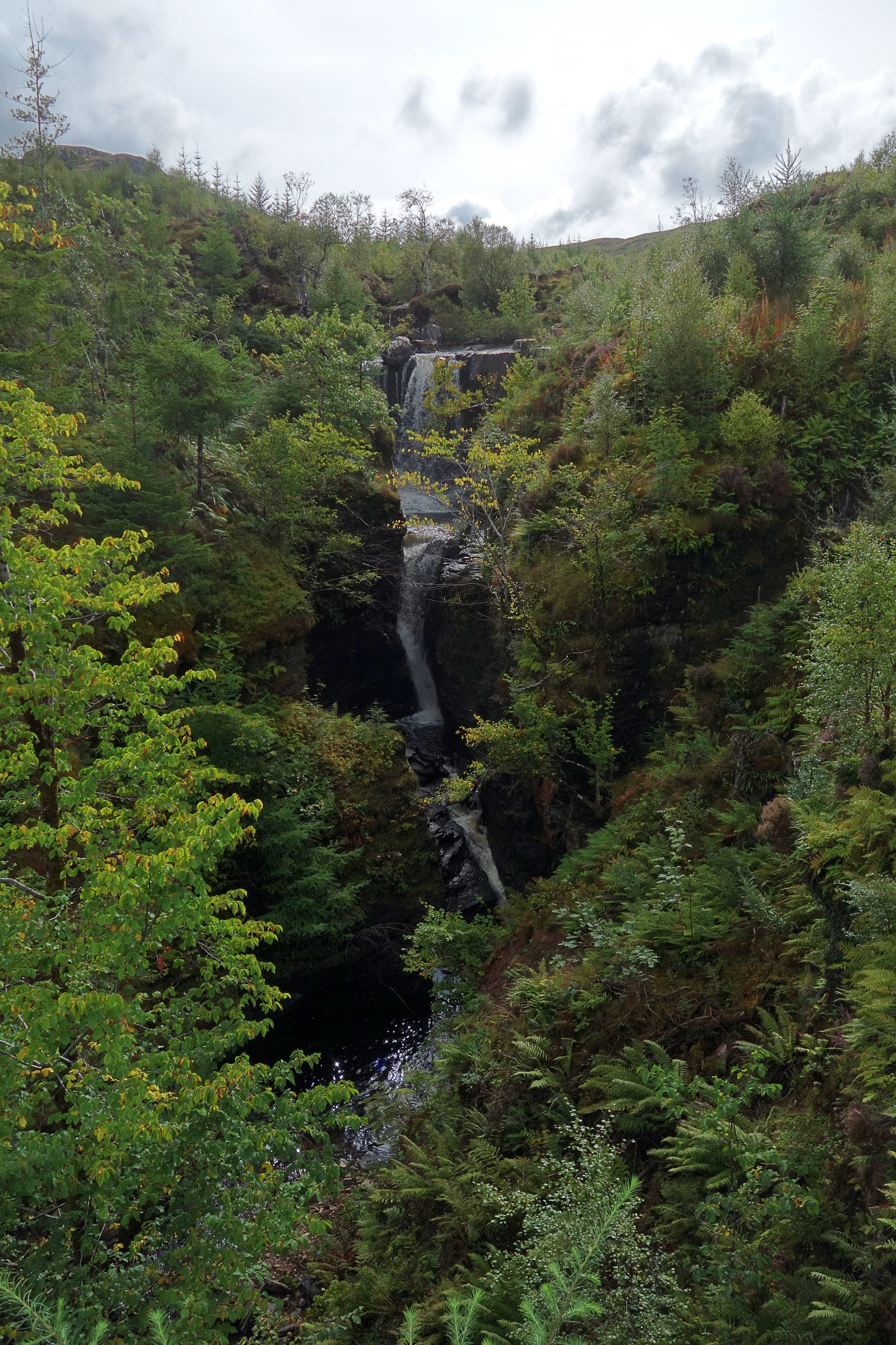
Victoria Falls, Wester Ross

Victoria Falls is a waterfall on the southern side of Loch Maree in Wester Ross in the north-west of Scotland. It is on the Abhainn Garbhaig, a short river...

Eilean Ruairidh Mòr

Eilean Ruairidh Mòr is a forested island in Loch Maree, Wester Ross, Scotland. Its name was formerly anglicised as "Ellan-Rorymore".The island is owned...
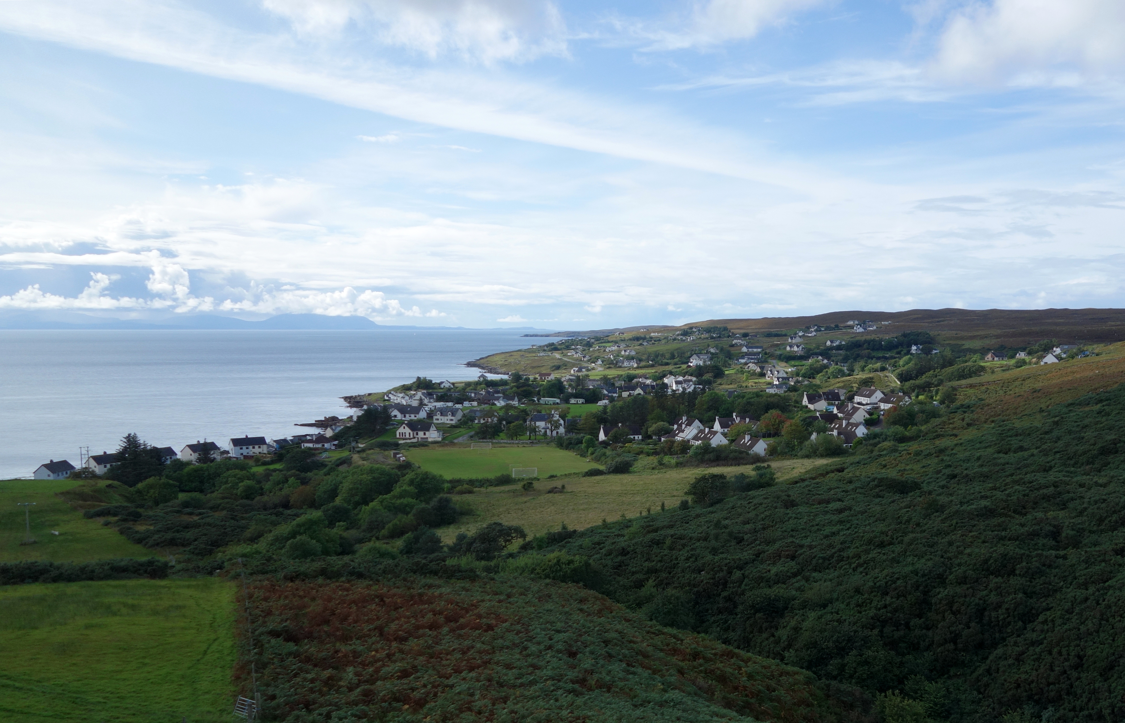
Gairloch

Gairloch ( GAIR-lokh; Scottish Gaelic: Geàrrloch [ˈkʲaːrˠl̪ˠɔx], meaning "Short Loch") is a village, civil parish and community on the shores of Loch Gairloch...

Nearby Amenities

Located within 500m of 57.689031,-5.6188449
Power: pole
Lat/Long: 57.6853482/-5.622641
Power: pole
Lat/Long: 57.6856866/-5.6211886
Power: pole
Lat/Long: 57.6859418/-5.6200902
Power: pole
Lat/Long: 57.6860723/-5.6159985
Power: pole
Lat/Long: 57.6863712/-5.6147271
Power: pole
Lat/Long: 57.6866193/-5.6136623
Power: pole
Lat/Long: 57.6869706/-5.6122139
The data included in this document is from www.openstreetmap.org. The data is made available under ODbL.

Have you been to Choille Aundrary?

Leave your review of Choille Aundrary below (or comments, questions and feedback).