Achachoish Plantation
Wood, Forest in Argyllshire
Scotland
Achachoish Plantation

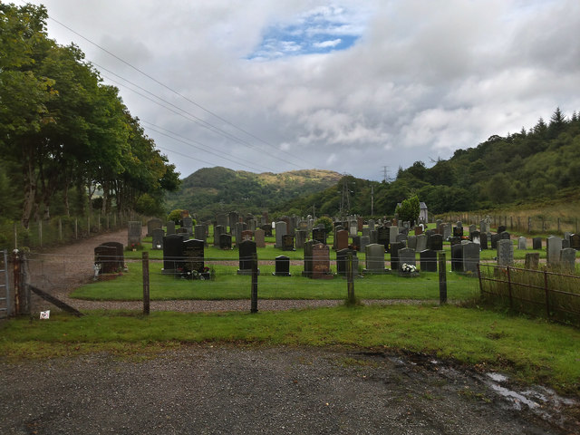
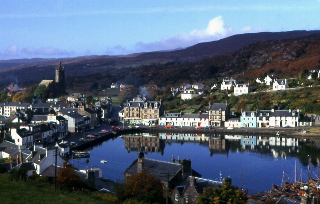
Achachoish Plantation is a scenic woodland located in Argyllshire, a region in western Scotland. Covering an area of approximately 200 acres, this plantation is known for its diverse range of tree species and its stunning natural beauty. The woodland is situated near the small village of Achachoish, offering visitors a tranquil and secluded environment to explore.
The plantation boasts a variety of tree species, including oak, ash, beech, and pine, creating a rich and vibrant ecosystem. The lush greenery and dense canopies provide a habitat for various wildlife, making it an ideal spot for nature enthusiasts and birdwatchers. The plantation is also home to several walking trails, allowing visitors to immerse themselves in the serene atmosphere and enjoy the breathtaking views of the surrounding countryside.
Achachoish Plantation is managed by local authorities, who work to preserve its ecological balance and protect its natural resources. The woodland is well-maintained, with clear pathways and signposts to guide visitors through the plantation. It is a popular destination for outdoor activities such as hiking, picnicking, and photography.
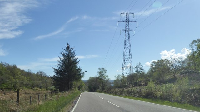
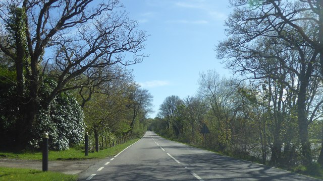
Surrounded by rolling hills and picturesque landscapes, Achachoish Plantation offers a peaceful retreat away from the hustle and bustle of city life. Its proximity to the village provides easy access to amenities, making it an ideal location for day trips or weekend getaways. Whether you are a nature lover, an avid hiker, or simply seeking tranquility, Achachoish Plantation promises a memorable experience in the heart of Argyllshire.
If you have any feedback on the listing, please let us know in the comments section below.
Achachoish Plantation Images
Images are sourced within 2km of 55.839522/-5.4445595 or Grid Reference NR8466. Thanks to Geograph Open Source API. All images are credited.


Achachoish Plantation is located at Grid Ref: NR8466 (Lat: 55.839522, Lng: -5.4445595)
Unitary Authority: Argyll and Bute
Police Authority: Argyll and West Dunbartonshire
What 3 Words
///shadowing.depended.speech. Near Tarbert, Argyll & Bute
Nearby Locations
Related Wikis
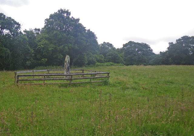
Avinagillan standing stone
The Avinagillan standing stone is a prehistoric menhir on the Kintyre Peninsula of Scotland. The stone is near the hamlet of Avinagillan. == See also... ==
Tarbert, Kintyre
Tarbert (Scottish Gaelic: An Tairbeart, pronounced [ən̪ˠ ˈt̪ʰaɾʲapərˠʃt̪], or Tairbeart Loch Fìne to distinguish it from other places of the same name...

Tarbert Castle
Tarbert Castle is located on the southern shore of East Loch Tarbert, at Tarbert, Argyll, Scotland, at the north end of Kintyre. Tarbert Castle was a strategic...

Torinturk
Torinturk (Scottish Gaelic: Tòrr an Tuirc) is a village in Argyll and Bute, Scotland. Torinturk is 5 miles (8 km) from Tarbert. Torinturk comes from the...

East Loch Tarbert, Argyll
East Loch Tarbert, Argyll is a small sea loch on the eastern side of the Kintyre peninsula in Scotland. It is a part of the much larger Loch Fyne. The...

Dùn a' Choin Duibh
Dùn a' Choin Duibh (Scottish Gaelic: Fort of the Black Dog) is a hillfort located near Torinturk, Argyll and Bute, Scotland. According to the local shanachies...

Kennacraig
Kennacraig (Scottish Gaelic: Ceann na Creige) is a hamlet situated on West Loch Tarbert, a five miles (eight kilometres) southwest of Tarbert on the Kintyre...

Eilean Ceann na Creige
Eilean Ceann na Creige is a small island near Kennacraig in West Loch Tarbert in Scotland. Ceann na Creige is Gaelic for head of the rock.Eilean Ceann...
Nearby Amenities
Located within 500m of 55.839522,-5.4445595Have you been to Achachoish Plantation?
Leave your review of Achachoish Plantation below (or comments, questions and feedback).