Bad na Cùrra
Wood, Forest in Argyllshire
Scotland
Bad na Cùrra
The requested URL returned error: 429 Too Many Requests
If you have any feedback on the listing, please let us know in the comments section below.
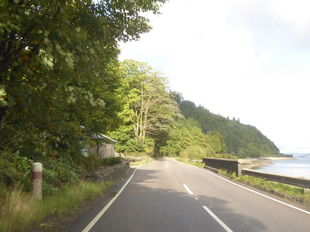
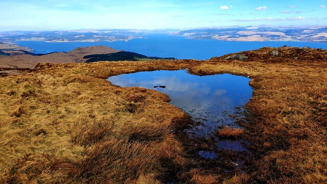
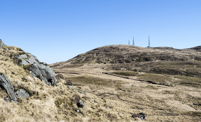
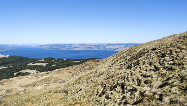
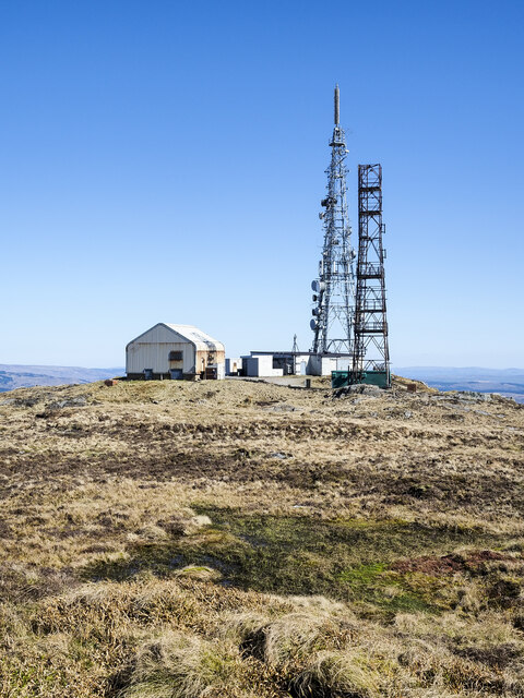
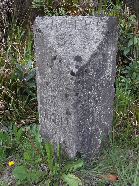
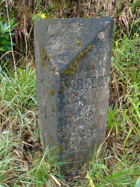
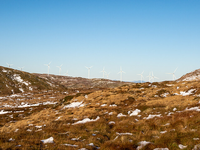
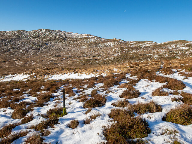
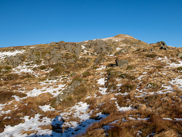
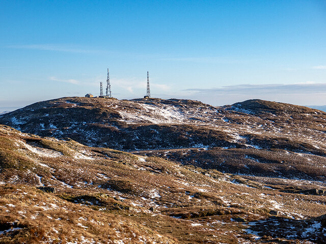
Bad na Cùrra Images
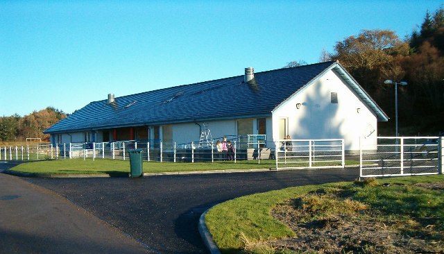
Images are sourced within 2km of 55.927759/-5.4531929 or Grid Reference NR8475. Thanks to Geograph Open Source API. All images are credited.


Bad na Cùrra is located at Grid Ref: NR8475 (Lat: 55.927759, Lng: -5.4531929)
Unitary Authority: Argyll and Bute
Police Authority: Argyll and West Dunbartonshire
What 3 Words
///cools.chained.polka. Near Tarbert, Argyll & Bute
Nearby Locations
Related Wikis

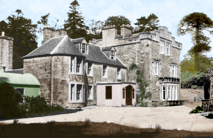
Stonefield Castle
Stonefield Castle is a Scottish baronial manor house near the village of Stonefield, north of Tarbert, Argyll & Bute, Scotland. It was built on the site...

Barmore Island
Barmore Island is a peninsula in Scotland located on the east of Knapdale, in the council area of Argyll and Bute. It is 1 and a half miles north from...
Inverneill House
Inverneill House is a country house in Argyll, western Scotland. It stands on the west shore of Loch Fyne, around 4 miles (6.4 km) south of Lochgilphead...
Achahoish
Achahoish (Scottish Gaelic: Achadh a’ Chòis) is a village on the west coast of Knapdale in the Scottish council area of Argyll and Bute. In 1882, Wilson...
Nearby Amenities
Located within 500m of 55.927759,-5.4531929Have you been to Bad na Cùrra?
Leave your review of Bad na Cùrra below (or comments, questions and feedback).