Bad na Cùrra
Hill, Mountain in Argyllshire
Scotland
Bad na Cùrra
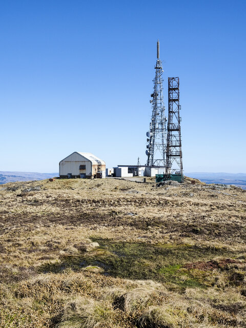
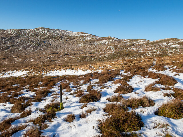
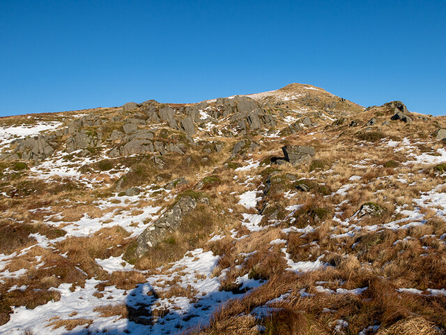
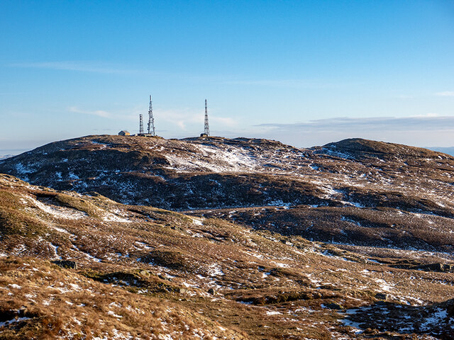
Bad na Cùrra is a prominent hill located in Argyllshire, Scotland. Situated in the southern part of the region, it forms part of the scenic landscape of the Scottish Highlands. With an elevation of approximately 736 meters (2,415 feet), it is considered one of the noteworthy mountains in the area.
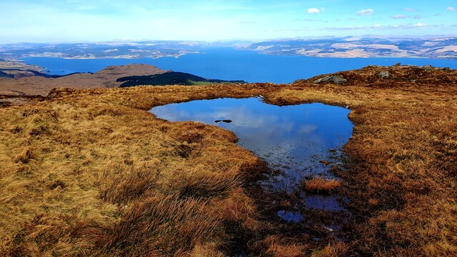
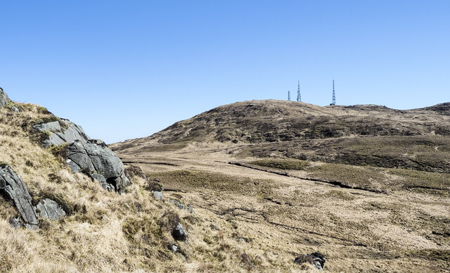
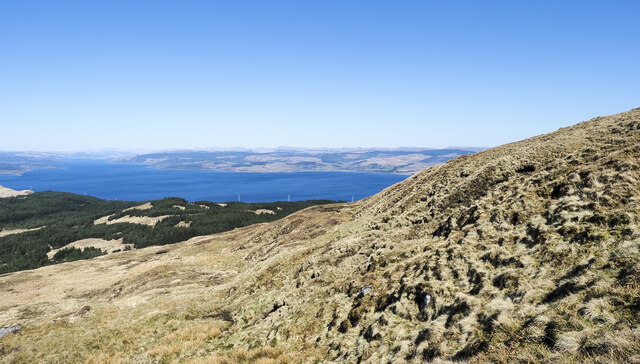
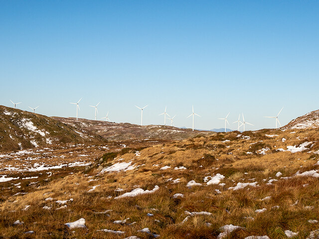
The hill is characterized by its rugged and rocky terrain, making it a popular destination for outdoor enthusiasts and hikers. Its steep slopes offer a challenging yet rewarding climb, providing stunning panoramic views of the surrounding countryside once at the summit. On clear days, one can even catch glimpses of the nearby Loch Awe and the distant peaks of the Arrochar Alps.
The vegetation on Bad na Cùrra mainly consists of heather and grass, which adds to the natural beauty of the hill. Wildlife enthusiasts may also spot various species of birds, such as golden eagles and peregrine falcons, soaring above the mountain. Additionally, the area is home to red deer, which can occasionally be spotted grazing on the lower slopes.
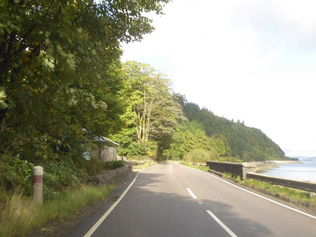
Access to Bad na Cùrra is relatively straightforward, with several paths and trails leading to the summit. However, caution is advised, as the weather conditions in the Scottish Highlands can be unpredictable, and appropriate equipment and clothing should be worn.
Overall, Bad na Cùrra offers a challenging and rewarding outdoor experience, providing visitors with breathtaking views and a chance to immerse themselves in the natural beauty of Argyllshire.
If you have any feedback on the listing, please let us know in the comments section below.
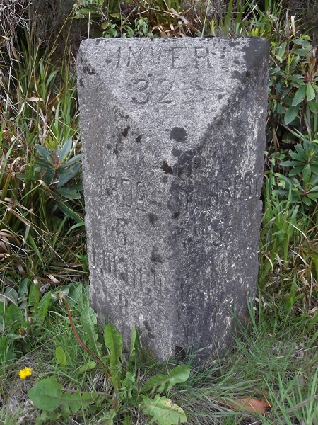
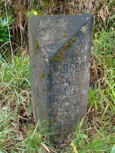
Bad na Cùrra Images
Images are sourced within 2km of 55.927814/-5.4509077 or Grid Reference NR8475. Thanks to Geograph Open Source API. All images are credited.


Bad na Cùrra is located at Grid Ref: NR8475 (Lat: 55.927814, Lng: -5.4509077)
Unitary Authority: Argyll and Bute
Police Authority: Argyll and West Dunbartonshire
What 3 Words
///popped.operation.costumes. Near Tarbert, Argyll & Bute
Nearby Locations
Related Wikis

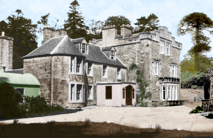
Stonefield Castle
Stonefield Castle is a Scottish baronial manor house near the village of Stonefield, north of Tarbert, Argyll & Bute, Scotland. It was built on the site...

Barmore Island
Barmore Island is a peninsula in Scotland located on the east of Knapdale, in the council area of Argyll and Bute. It is 1 and a half miles north from...
Inverneill House
Inverneill House is a country house in Argyll, western Scotland. It stands on the west shore of Loch Fyne, around 4 miles (6.4 km) south of Lochgilphead...
Achahoish
Achahoish (Scottish Gaelic: Achadh a’ Chòis) is a village on the west coast of Knapdale in the Scottish council area of Argyll and Bute. In 1882, Wilson...

Argyll and Bute (UK Parliament constituency)
Argyll and Bute is a county constituency of the House of Commons of the Parliament of the United Kingdom. It was created for the 1983 general election...
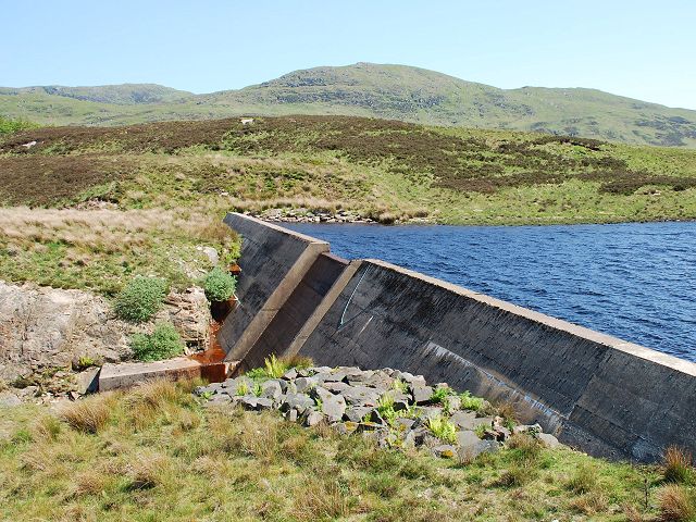
Loch A' Chaorainn
Loch A' Chaorainn (Loch of the Rowan) is an impounding reservoir which lies 9 kilometres (5.6 mi) north west of Tarbert. The concrete dam is 8.2 metres...

East Loch Tarbert, Argyll
East Loch Tarbert, Argyll is a small sea loch on the eastern side of the Kintyre peninsula in Scotland. It is a part of the much larger Loch Fyne. The...
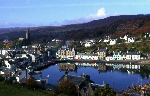
Tarbert, Kintyre
Tarbert (Scottish Gaelic: An Tairbeart, pronounced [ən̪ˠ ˈt̪ʰaɾʲapərˠʃt̪], or Tairbeart Loch Fìne to distinguish it from other places of the same name...
Nearby Amenities
Located within 500m of 55.927814,-5.4509077Have you been to Bad na Cùrra?
Leave your review of Bad na Cùrra below (or comments, questions and feedback).