Gortan Wood

Wood, Forest in Argyllshire

Scotland

Gortan Wood

The Glen Bar & Restaurant on the B842 at Bridgend
The Glen Bar & Restaurant on the B842 at Bridgend Credit: Alan Reid

The requested URL returned error: 429 Too Many Requests

If you have any feedback on the listing, please let us know in the comments section below.
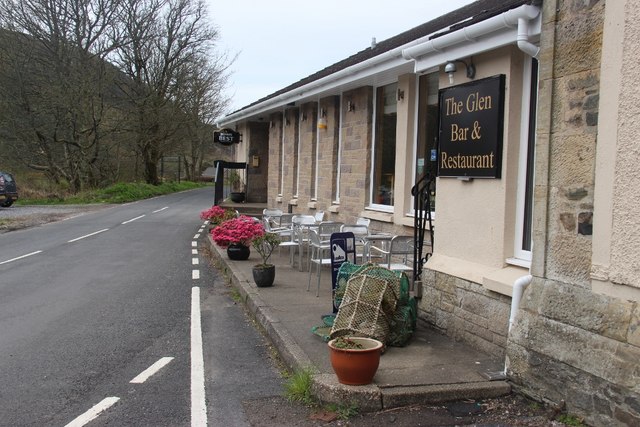
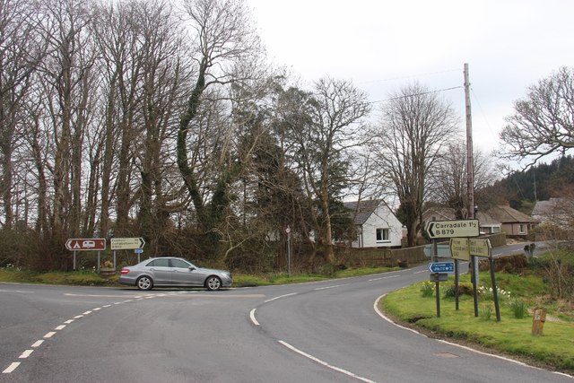
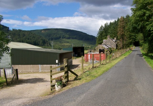
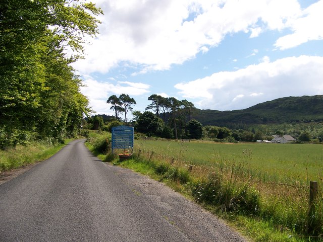
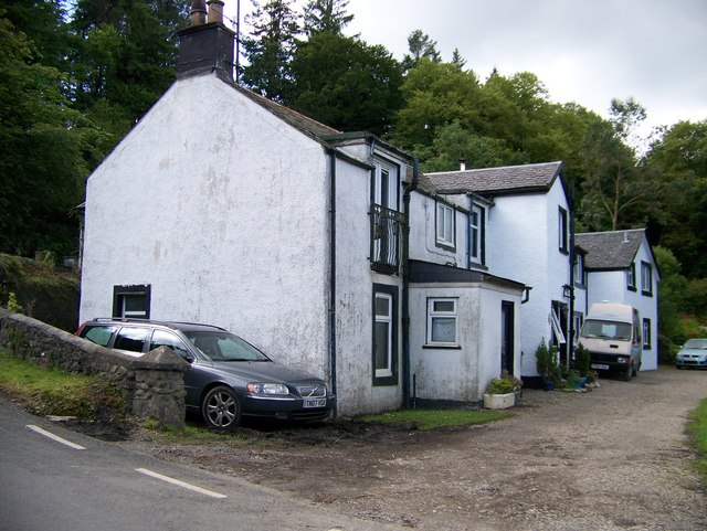
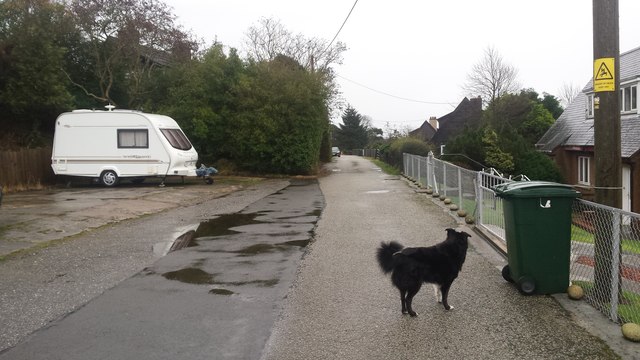
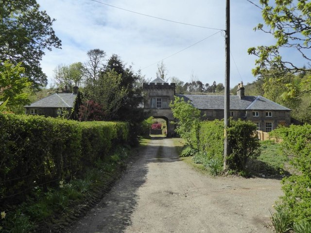
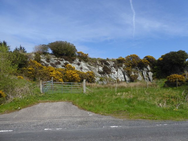
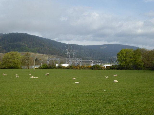
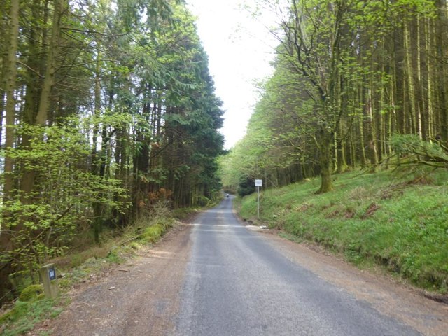
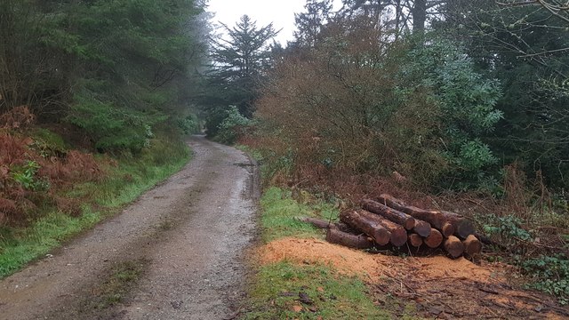
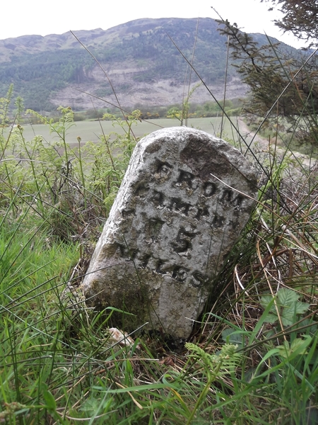
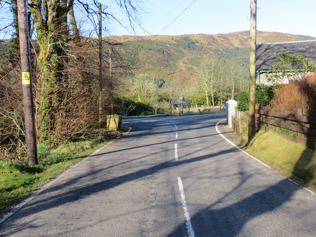
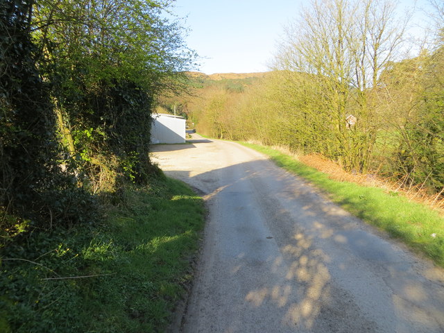
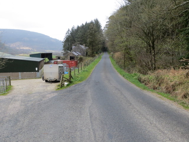
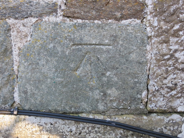
Gortan Wood Images

Images are sourced within 2km of 55.58732/-5.4878815 or Grid Reference NR8038. Thanks to Geograph Open Source API. All images are credited.

The Glen Bar & Restaurant on the B842 at Bridgend
Carradale junction on the B842
Auchnasavil Farm
Auchnasavil Farm
Approaching Carradale from the north
Bridgend near Carradale, Kintyre
Toshs Park Carradale Former forestry workers houses. Noon on Xmas Day 2017
Toshs Park Carradale
Former forestry workers houses. Noon on Xmas Day 2017
Torrisdale Square, Kintyre
Disused quarry by the B842
Substation and sheep at Moineruadh
B842 near Auchnasavil Farm, Kintyre
Midday Xmas 2018 Looking down the old Rhonadale forestry road from my house.  The logs are in a part of my property and are an excess of winter fuel.
Midday Xmas 2018
Looking down the old Rhonadale forestry road from my house. The logs are in a part of my property and are an excess of winter fuel.
Old Milestone by the B842, Moineruadh Wood, north of Bridgend Milestone by the B842, in parish of Saddell and Skipness (Kintyre District), North of Bridgend and Carradale, on verge 0.25 mile North of Electricity Sub-station.

Inscription reads:-
FROM
CAMPBᴺ
15
MILES

Surveyed

Milestone Society National ID: AB_CTCN15
Old Milestone by the B842, Moineruadh Wood, north of Bridgend
Milestone by the B842, in parish of Saddell and Skipness (Kintyre District), North of Bridgend and Carradale, on verge 0.25 mile North of Electricity Sub-station. Inscription reads:- FROM CAMPBᴺ 15 MILES Surveyed Milestone Society National ID: AB_CTCN15
Road (B879) from Carradale joining the Campbeltown to Tarbert road (B842) at Tosh's Park Looking westward. Left to Campbeltown, right to Tarbert and behind is Carradale.
Road (B879) from Carradale joining the Campbeltown to Tarbert road (B842) at Tosh's Park
Looking westward. Left to Campbeltown, right to Tarbert and behind is Carradale.
Road from Waterfoot to Dippen and Bridgend at Carradale Looking westward
Road from Waterfoot to Dippen and Bridgend at Carradale
Looking westward
Road (B842) at Auchnasavil Farm Looking northward.
Road (B842) at Auchnasavil Farm
Looking northward.
Ordnance Survey Cut Mark This mark can be found on the roadside wall of a building at the junction of the B879 and B842 roads. The benchmark height has been calculated as 13.63 metres above sea level.
For more detail see : <span class="nowrap"><a title="https://www.bench-marks.org.uk/bm106620" rel="nofollow ugc noopener" href="https://www.bench-marks.org.uk/bm106620">Link</a><img style="margin-left:2px;" alt="External link" title="External link - shift click to open in new window" src="https://s1.geograph.org.uk/img/external.png" width="10" height="10"/></span>
Ordnance Survey Cut Mark
This mark can be found on the roadside wall of a building at the junction of the B879 and B842 roads. The benchmark height has been calculated as 13.63 metres above sea level. For more detail see : LinkExternal link
Milestone alongside the B842 - 'CAMPBn 15 MILES' Carved milestone on the west side of the B842, in parish of Saddell & Skipness (Kintyre District), N of Carradale, on verge 0.25mile N of Electricity Sub-station.

Surveyed

Milestone Society National ID: AB_CTCN15
Milestone alongside the B842 - 'CAMPBn 15 MILES'
Carved milestone on the west side of the B842, in parish of Saddell & Skipness (Kintyre District), N of Carradale, on verge 0.25mile N of Electricity Sub-station. Surveyed Milestone Society National ID: AB_CTCN15
Midday Xmas Day 2020 This picture shows the fire appliance E64p8 (Carradale) at midday, immediately after its return from an Xmas day tragedy which began to unfold six and a half hours previously.
Midday Xmas Day 2020
This picture shows the fire appliance E64p8 (Carradale) at midday, immediately after its return from an Xmas day tragedy which began to unfold six and a half hours previously.
Show me another place!

Gortan Wood is located at Grid Ref: NR8038 (Lat: 55.58732, Lng: -5.4878815)

Unitary Authority: Argyll and Bute

Police Authority: Argyll and West Dunbartonshire

What 3 Words

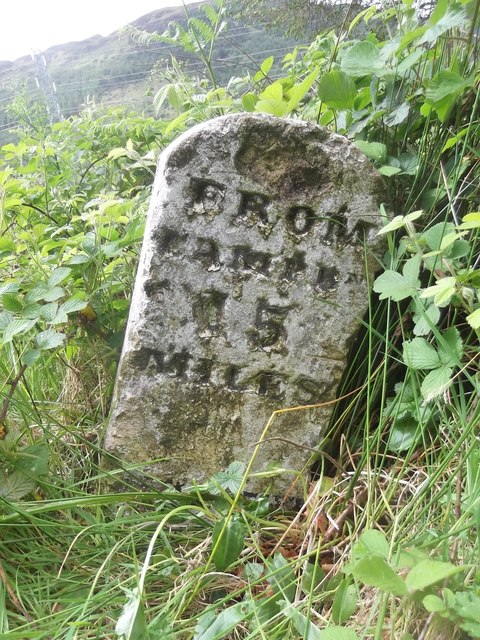
///prompts.hobbyists.operating. Near Blackwaterfoot, North Ayrshire

Related Wikis

Carradale House, Argyll and Bute

Carradale House is a Grade B listed mansion house near Carradale, Argyll and Bute, Scotland. Built in the 17th century, the house was extended in 1844...

Carradale

Carradale (Scottish Gaelic: Càradal, pronounced [ˈkʰaːrˠət̪əl̪ˠ]) is a village on the east side of Kintyre, overlooking the Kilbrannan Sound and the west...

Airds Castle

Airds Castle is a ruined medieval castle near Carradale, Kintyre, Argyll and Bute, Scotland. The castle held a position on the summit of a rocky headland...

Torr Mor

Torr Mor is a hill peak landform on the coastal east side of the Kintyre Peninsula in Scotland. The peak offers views over the Kilbrannan Sound. The Forestry...
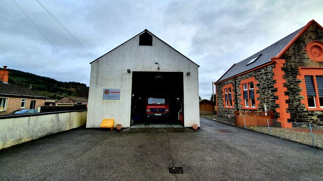
Nearby Amenities

Located within 500m of 55.58732,-5.4878815
Cafe
Blackbird Tea Room
Opening Hours: Th-Mo 10:30-16:00
Website: https://www.facebook.com/BlackbirdTearoomCarradale/
Lat/Long: 55.5872938/-5.4920885
Carradale Bikes and Buggies
Addr Postcode: PA28 6SG
Fixme: resurvey
Note: no evidence of this business at this location - has it relocated or closed down?
Service Bicycle Rental: yes
Shop: bicycle
Website: http://www.carradalebikesandbuggies.co.uk/
Lat/Long: 55.5873149/-5.4919524
Power: pole
Lat/Long: 55.5848797/-5.4945675
Carradale Heritage Centre
Opening Hours: Th-Mo 10:30-16:00
Tourism: museum
Website: https://eastkintyre.org/carradale-heritage-centre/
Lat/Long: 55.587362/-5.4918605
The data included in this document is from www.openstreetmap.org. The data is made available under ODbL.

Have you been to Gortan Wood?

Leave your review of Gortan Wood below (or comments, questions and feedback).