Ballemeanach Wood

Wood, Forest in Argyllshire

Scotland

Ballemeanach Wood

Steps down to the shore
Steps down to the shore Credit: Mick Garratt

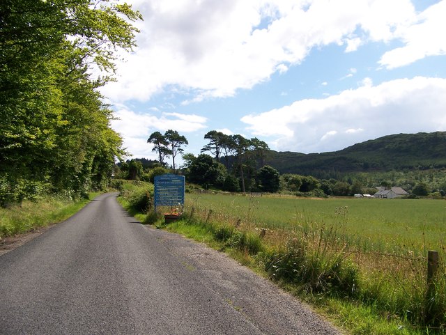
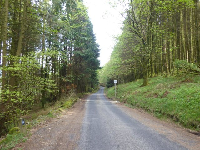
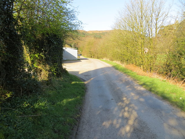
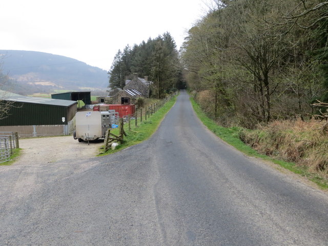
Ballemeanach Wood, located in Argyllshire, Scotland, is a stunning forest that covers an area of approximately 5 square kilometers. This ancient woodland is situated near the village of Taynuilt and is known for its remarkable beauty and ecological significance.

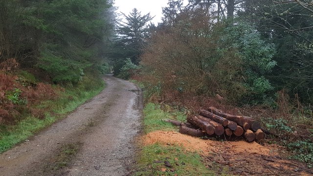
The wood is primarily composed of native broadleaf trees, such as oak, birch, ash, and hazel, which create a diverse and rich habitat for a wide range of flora and fauna. The forest floor is covered with a lush carpet of ferns, mosses, and wildflowers, adding to its enchanting appeal.

Ballemeanach Wood is not only a visually appealing destination but is also a valuable ecological site. It is home to various species of birds, including woodpeckers, owls, and warblers, making it a popular spot for birdwatchers. The forest also supports a diverse range of mammals, including red squirrels, badgers, and deer.

Visitors to Ballemeanach Wood can explore the forest through a network of well-maintained trails. These pathways wind through the woods, allowing visitors to immerse themselves in the tranquil surroundings. The wood offers a peaceful and serene atmosphere, making it an ideal place for nature lovers, hikers, and photographers.

Overall, Ballemeanach Wood is a captivating destination that showcases the natural beauty of the Scottish countryside. With its ancient trees, abundant wildlife, and picturesque scenery, it offers a unique and enriching experience for all who visit.

If you have any feedback on the listing, please let us know in the comments section below.

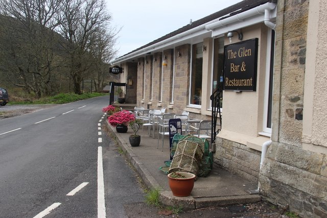
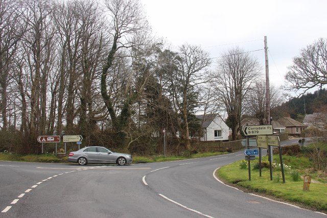
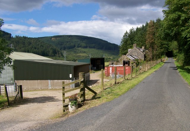
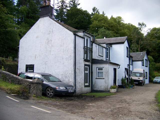
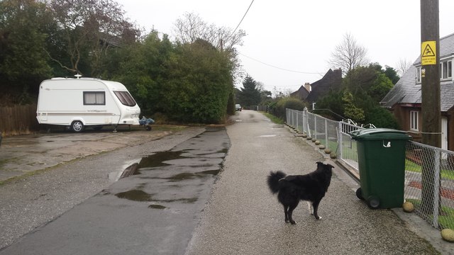
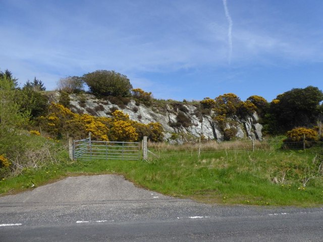
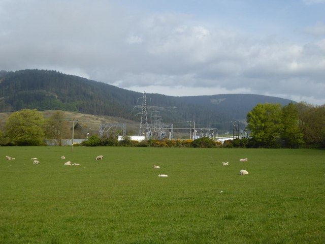
Ballemeanach Wood Images

Images are sourced within 2km of 55.592525/-5.4803414 or Grid Reference NR8038. Thanks to Geograph Open Source API. All images are credited.

Steps down to the shore
The Glen Bar & Restaurant on the B842 at Bridgend
Carradale junction on the B842
Auchnasavil Farm
Auchnasavil Farm
Approaching Carradale from the north
Bridgend near Carradale, Kintyre
Toshs Park Carradale Former forestry workers houses. Noon on Xmas Day 2017
Toshs Park Carradale
Former forestry workers houses. Noon on Xmas Day 2017
Disused quarry by the B842
Substation and sheep at Moineruadh
B842 near Auchnasavil Farm, Kintyre
Midday Xmas 2018 Looking down the old Rhonadale forestry road from my house.  The logs are in a part of my property and are an excess of winter fuel.
Midday Xmas 2018
Looking down the old Rhonadale forestry road from my house. The logs are in a part of my property and are an excess of winter fuel.
Old Milestone by the B842, Moineruadh Wood, north of Bridgend Milestone by the B842, in parish of Saddell and Skipness (Kintyre District), North of Bridgend and Carradale, on verge 0.25 mile North of Electricity Sub-station.

Inscription reads:-
FROM
CAMPBᴺ
15
MILES

Surveyed

Milestone Society National ID: AB_CTCN15
Old Milestone by the B842, Moineruadh Wood, north of Bridgend
Milestone by the B842, in parish of Saddell and Skipness (Kintyre District), North of Bridgend and Carradale, on verge 0.25 mile North of Electricity Sub-station. Inscription reads:- FROM CAMPBᴺ 15 MILES Surveyed Milestone Society National ID: AB_CTCN15
Road (B879) from Carradale joining the Campbeltown to Tarbert road (B842) at Tosh's Park Looking westward. Left to Campbeltown, right to Tarbert and behind is Carradale.
Road (B879) from Carradale joining the Campbeltown to Tarbert road (B842) at Tosh's Park
Looking westward. Left to Campbeltown, right to Tarbert and behind is Carradale.
Road from Waterfoot to Dippen and Bridgend at Carradale Looking westward
Road from Waterfoot to Dippen and Bridgend at Carradale
Looking westward
Road (B842) at Auchnasavil Farm Looking northward.
Road (B842) at Auchnasavil Farm
Looking northward.
Ordnance Survey Cut Mark This mark can be found on the roadside wall of a building at the junction of the B879 and B842 roads. The benchmark height has been calculated as 13.63 metres above sea level.
For more detail see : <span class="nowrap"><a title="https://www.bench-marks.org.uk/bm106620" rel="nofollow ugc noopener" href="https://www.bench-marks.org.uk/bm106620">Link</a><img style="margin-left:2px;" alt="External link" title="External link - shift click to open in new window" src="https://s1.geograph.org.uk/img/external.png" width="10" height="10"/></span>
Ordnance Survey Cut Mark
This mark can be found on the roadside wall of a building at the junction of the B879 and B842 roads. The benchmark height has been calculated as 13.63 metres above sea level. For more detail see : LinkExternal link
Milestone alongside the B842 - 'CAMPBn 15 MILES' Carved milestone on the west side of the B842, in parish of Saddell & Skipness (Kintyre District), N of Carradale, on verge 0.25mile N of Electricity Sub-station.

Surveyed

Milestone Society National ID: AB_CTCN15
Milestone alongside the B842 - 'CAMPBn 15 MILES'
Carved milestone on the west side of the B842, in parish of Saddell & Skipness (Kintyre District), N of Carradale, on verge 0.25mile N of Electricity Sub-station. Surveyed Milestone Society National ID: AB_CTCN15
Midday Xmas Day 2020 This picture shows the fire appliance E64p8 (Carradale) at midday, immediately after its return from an Xmas day tragedy which began to unfold six and a half hours previously.
Midday Xmas Day 2020
This picture shows the fire appliance E64p8 (Carradale) at midday, immediately after its return from an Xmas day tragedy which began to unfold six and a half hours previously.
Show me another place!

Ballemeanach Wood is located at Grid Ref: NR8038 (Lat: 55.592525, Lng: -5.4803414)

Unitary Authority: Argyll and Bute

Police Authority: Argyll and West Dunbartonshire

What 3 Words

///good.disarmed.prank. Near Blackwaterfoot, North Ayrshire

Related Wikis

Carradale

Carradale (Scottish Gaelic: Càradal, pronounced [ˈkʰaːrˠət̪əl̪ˠ]) is a village on the east side of Kintyre, overlooking the Kilbrannan Sound and the west...

Carradale House, Argyll and Bute

Carradale House is a Grade B listed mansion house near Carradale, Argyll and Bute, Scotland. Built in the 17th century, the house was extended in 1844...

Torr Mor

Torr Mor is a hill peak landform on the coastal east side of the Kintyre Peninsula in Scotland. The peak offers views over the Kilbrannan Sound. The Forestry...

Airds Castle

Airds Castle is a ruined medieval castle near Carradale, Kintyre, Argyll and Bute, Scotland. The castle held a position on the summit of a rocky headland...

Nearby Amenities

Located within 500m of 55.592525,-5.4803414
Power: pole
Lat/Long: 55.5931051/-5.4876414
Power: pole
Lat/Long: 55.5934188/-5.4865873
Power: pole
Lat/Long: 55.5934643/-5.484868
Power: pole
Lat/Long: 55.5934855/-5.4836127
Power: pole
Lat/Long: 55.5935083/-5.4825559
Power: pole
Lat/Long: 55.593537/-5.4813731
Power: pole
Lat/Long: 55.5938402/-5.4803699
Power: pole
Lat/Long: 55.5944449/-5.4782268
Power: pole
Lat/Long: 55.5948965/-5.4764298
Power: pole
Lat/Long: 55.5951663/-5.4751074
Power: pole
Lat/Long: 55.595086/-5.4746273
Power: pole
Lat/Long: 55.5948435/-5.4758263
Power: pole
Lat/Long: 55.5946101/-5.4769474
Power: pole
Lat/Long: 55.5942873/-5.4781437
Power: pole
Lat/Long: 55.5939902/-5.4791844
Power: pole
Lat/Long: 55.593675/-5.4802626
Power: pole
Lat/Long: 55.5933825/-5.4813784
Power: pole
Lat/Long: 55.5933673/-5.4825425
Power: pole
Lat/Long: 55.5933324/-5.4838005
Power: pole
Lat/Long: 55.5932961/-5.4856727
Power: pole
Lat/Long: 55.5932612/-5.4867294
Leisure: picnic_table
Lit: no
Material: wood
Lat/Long: 55.5891969/-5.4752414
Bench: yes
Leisure: picnic_table
Lit: no
Material: wood
Lat/Long: 55.5893542/-5.4751931
The data included in this document is from www.openstreetmap.org. The data is made available under ODbL.

Have you been to Ballemeanach Wood?

Leave your review of Ballemeanach Wood below (or comments, questions and feedback).