Waterfoot Strip

Wood, Forest in Argyllshire

Scotland

Waterfoot Strip

Track Through Castle Wood As small as the Torrisdale estate is, there are still some lovely woodland walks.  This particular track passes, what I consider to be, the rear of the castle and on down to the walled garden.
Track Through Castle Wood Credit: Steve Partridge

The requested URL returned error: 429 Too Many Requests

If you have any feedback on the listing, please let us know in the comments section below.

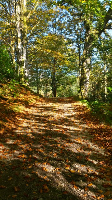
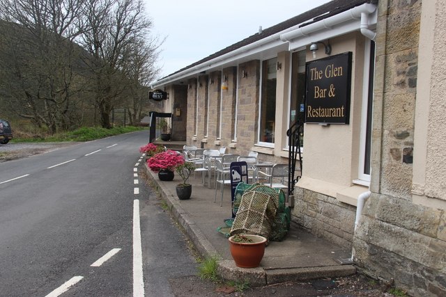
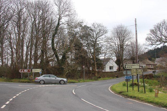
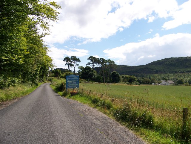
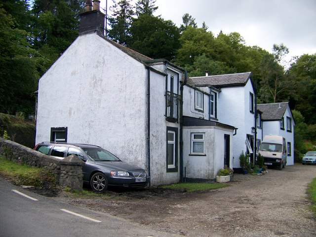
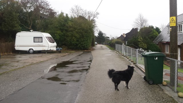
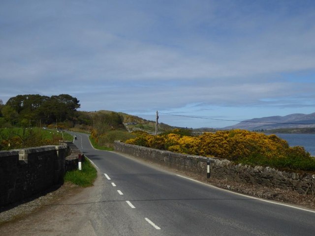
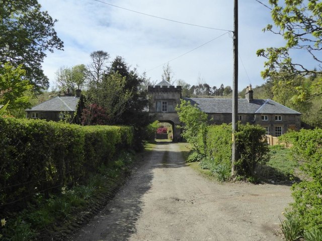
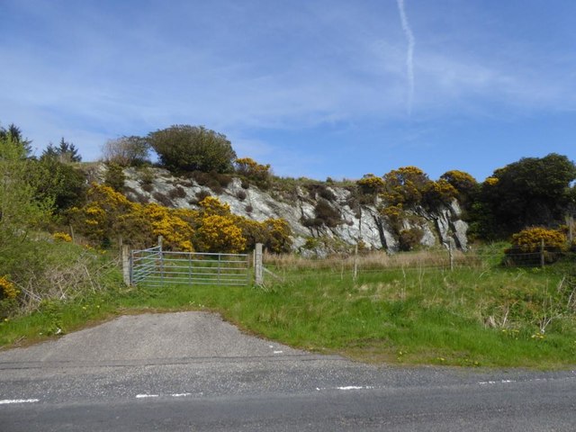
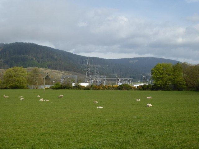
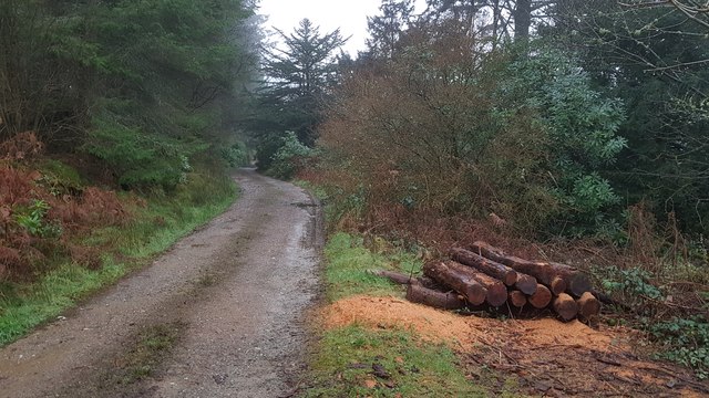
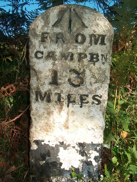
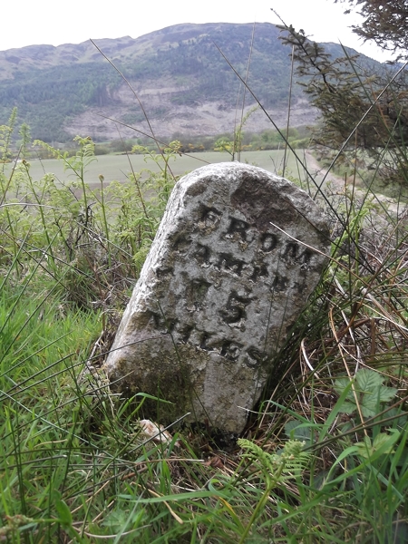
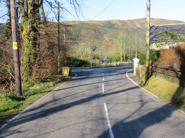
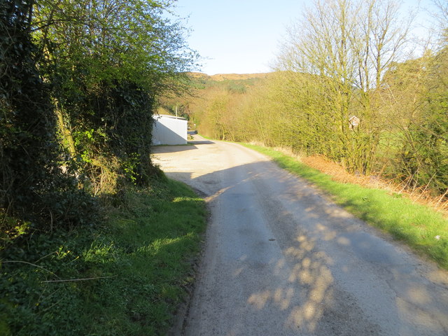
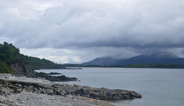
Waterfoot Strip Images

Images are sourced within 2km of 55.582115/-5.4859591 or Grid Reference NR8037. Thanks to Geograph Open Source API. All images are credited.

Track Through Castle Wood As small as the Torrisdale estate is, there are still some lovely woodland walks.  This particular track passes, what I consider to be, the rear of the castle and on down to the walled garden.
Track Through Castle Wood
As small as the Torrisdale estate is, there are still some lovely woodland walks. This particular track passes, what I consider to be, the rear of the castle and on down to the walled garden.
The Glen Bar & Restaurant on the B842 at Bridgend
Carradale junction on the B842
Approaching Carradale from the north
Bridgend near Carradale, Kintyre
B842 approaching Torrisdale
Toshs Park Carradale Former forestry workers houses. Noon on Xmas Day 2017
Toshs Park Carradale
Former forestry workers houses. Noon on Xmas Day 2017
Bridge over the Torrisdale Water
Torrisdale Square, Kintyre
Disused quarry by the B842
Substation and sheep at Moineruadh
Torrisdale Water Taken at sunrise from the bridge of the B842 at Torrisdale
Torrisdale Water
Taken at sunrise from the bridge of the B842 at Torrisdale
Midday Xmas 2018 Looking down the old Rhonadale forestry road from my house.  The logs are in a part of my property and are an excess of winter fuel.
Midday Xmas 2018
Looking down the old Rhonadale forestry road from my house. The logs are in a part of my property and are an excess of winter fuel.
Old Milestone by the B842, Torrisdale, Saddell and Skipness parish Stone post by the B842, East side of road, in parish of Saddell and Skipness (Kintyre District), Torrisdale, Kintyre, North of the bay.

Inscription reads:-
FROM
CAMPBN
13
MILES
Carved bench mark on top.

Surveyed

Milestone Society National ID: AB_CTCN13
Old Milestone by the B842, Torrisdale, Saddell and Skipness parish
Stone post by the B842, East side of road, in parish of Saddell and Skipness (Kintyre District), Torrisdale, Kintyre, North of the bay. Inscription reads:- FROM CAMPBN 13 MILES Carved bench mark on top. Surveyed Milestone Society National ID: AB_CTCN13
Old Milestone by the B842, Moineruadh Wood, north of Bridgend Milestone by the B842, in parish of Saddell and Skipness (Kintyre District), North of Bridgend and Carradale, on verge 0.25 mile North of Electricity Sub-station.

Inscription reads:-
FROM
CAMPBᴺ
15
MILES

Surveyed

Milestone Society National ID: AB_CTCN15
Old Milestone by the B842, Moineruadh Wood, north of Bridgend
Milestone by the B842, in parish of Saddell and Skipness (Kintyre District), North of Bridgend and Carradale, on verge 0.25 mile North of Electricity Sub-station. Inscription reads:- FROM CAMPBᴺ 15 MILES Surveyed Milestone Society National ID: AB_CTCN15
Road (B879) from Carradale joining the Campbeltown to Tarbert road (B842) at Tosh's Park Looking westward. Left to Campbeltown, right to Tarbert and behind is Carradale.
Road (B879) from Carradale joining the Campbeltown to Tarbert road (B842) at Tosh's Park
Looking westward. Left to Campbeltown, right to Tarbert and behind is Carradale.
Road from Waterfoot to Dippen and Bridgend at Carradale Looking westward
Road from Waterfoot to Dippen and Bridgend at Carradale
Looking westward
Torrisdale Bay (North) Looking north-eastward towards Dippen Bay.
Torrisdale Bay (North)
Looking north-eastward towards Dippen Bay.
Show me another place!

Waterfoot Strip is located at Grid Ref: NR8037 (Lat: 55.582115, Lng: -5.4859591)

Unitary Authority: Argyll and Bute

Police Authority: Argyll and West Dunbartonshire

What 3 Words

///tolerates.remarked.jets. Near Blackwaterfoot, North Ayrshire

Related Wikis

Carradale House, Argyll and Bute

Carradale House is a Grade B listed mansion house near Carradale, Argyll and Bute, Scotland. Built in the 17th century, the house was extended in 1844...

Dippen Bay

Dippen Bay is an embayment along Kilbrannan Sound on the east coast of the Kintyre Peninsula in Scotland. Coastal erosion has been documented at Dippen...

Dippen, Argyll

Dippen (Scottish Gaelic: Duipinn) is a hamlet on the east coast of the Kintyre Peninsula in Scotland. The community of Dippen is in close proximity to...

Torrisdale, Argyll

Torrisdale is a small village on the eastern coast of the Kintyre Peninsula of Scotland. The village is along Torrisdale Bay, an inlet of the Kilbrannan...

Nearby Amenities

Located within 500m of 55.582115,-5.4859591
Source: PGS
Lat/Long: 55.5790253/-5.4884531
Source: PGS
Lat/Long: 55.5788313/-5.4878415
Source: PGS
Lat/Long: 55.5788798/-5.4873373
Source: PGS
Lat/Long: 55.5789525/-5.4867472
Source: PGS
Lat/Long: 55.5790132/-5.4862859
Source: PGS
Lat/Long: 55.5790921/-5.4858138
Source: PGS
Lat/Long: 55.5791952/-5.4852774
Source: PGS
Lat/Long: 55.5793346/-5.4847195
Source: PGS
Lat/Long: 55.5794156/-5.4843945
Source: PGS
Lat/Long: 55.5794923/-5.4840865
Source: PGS
Lat/Long: 55.5797349/-5.4832496
Source: PGS
Lat/Long: 55.5799305/-5.4823706
Source: PGS
Lat/Long: 55.5801352/-5.4815008
Source: PGS
Lat/Long: 55.5802504/-5.4808678
Source: PGS
Lat/Long: 55.5806506/-5.4785504
Drinking Water
Lat/Long: 55.5810646/-5.4850323
Drinking Water
Lat/Long: 55.581474/-5.4851757
Toilets
Lat/Long: 55.5811503/-5.48511
Shower
Lat/Long: 55.581068/-5.4852888
Power: pole
Lat/Long: 55.5808069/-5.4903217
Power: pole
Lat/Long: 55.581737/-5.4905457
Power: pole
Lat/Long: 55.582285/-5.4907294
Power: pole
Lat/Long: 55.5826486/-5.490847
Power: pole
Lat/Long: 55.5832681/-5.4928613
Power: pole
Lat/Long: 55.5816975/-5.4930954
Power: pole
Lat/Long: 55.5821641/-5.4916796
Power: pole
Lat/Long: 55.5836529/-5.4798351
Power: pole
Lat/Long: 55.5834082/-5.4818371
Power: pole
Lat/Long: 55.5832228/-5.4833325
Power: pole
Lat/Long: 55.5830121/-5.4849841
Power: pole
Lat/Long: 55.5827834/-5.4867752
Power: pole
Lat/Long: 55.5825221/-5.4888778
The data included in this document is from www.openstreetmap.org. The data is made available under ODbL.

Have you been to Waterfoot Strip?

Leave your review of Waterfoot Strip below (or comments, questions and feedback).