Daill Plantation
Wood, Forest in Argyllshire
Scotland
Daill Plantation
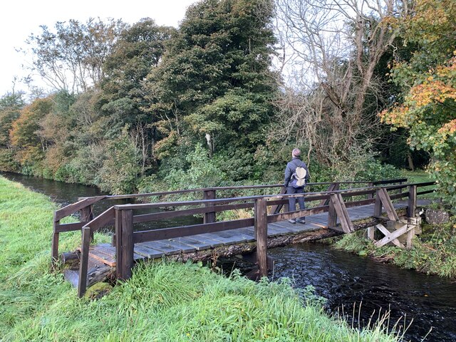
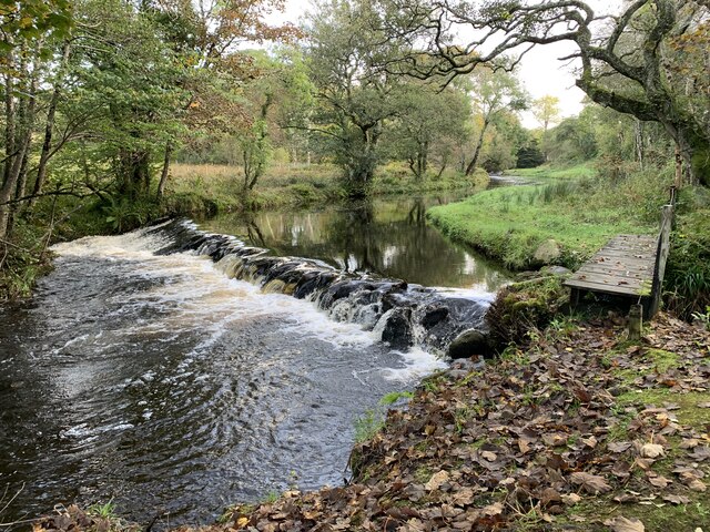
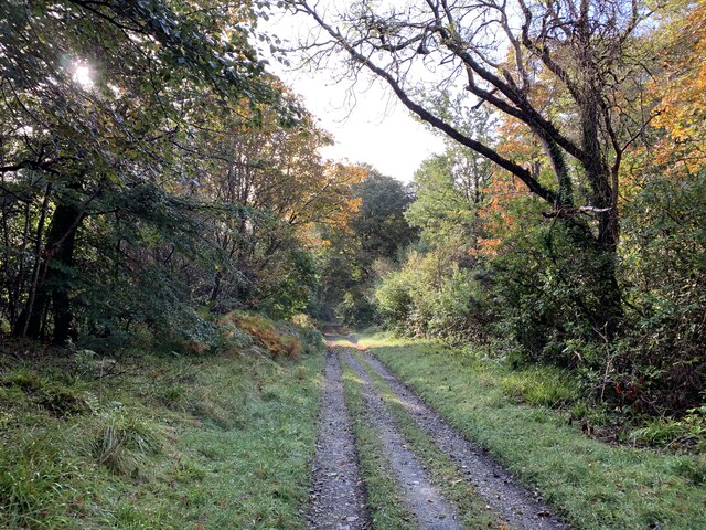
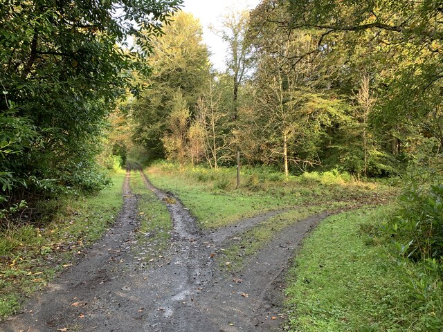
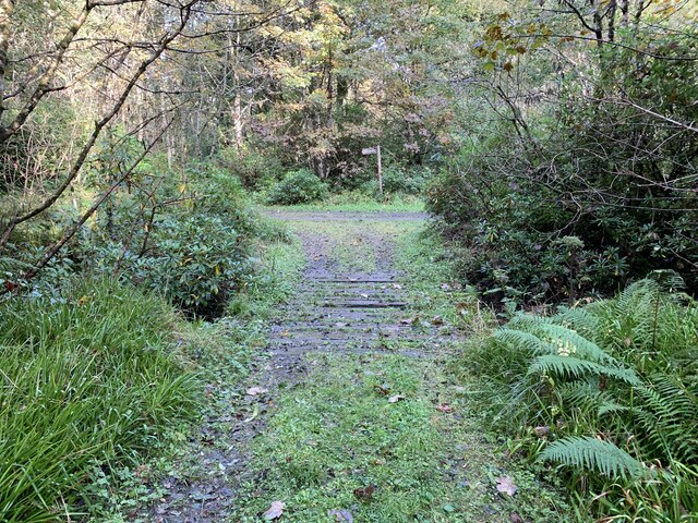
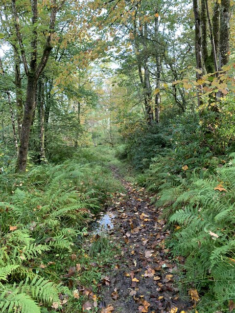
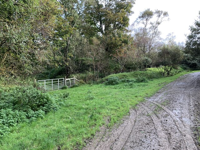
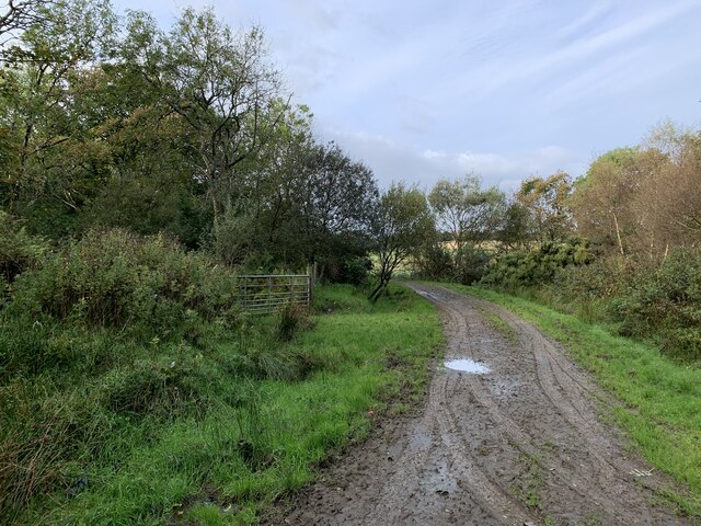
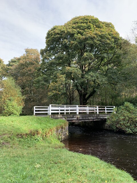
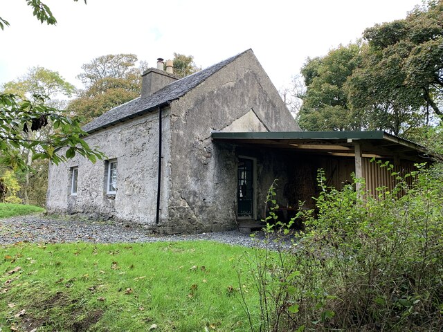
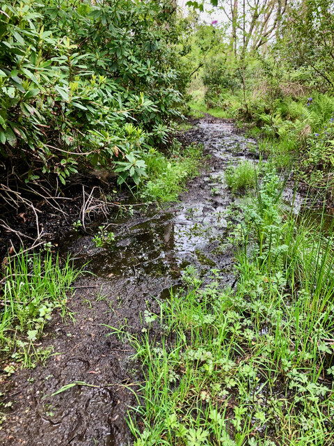
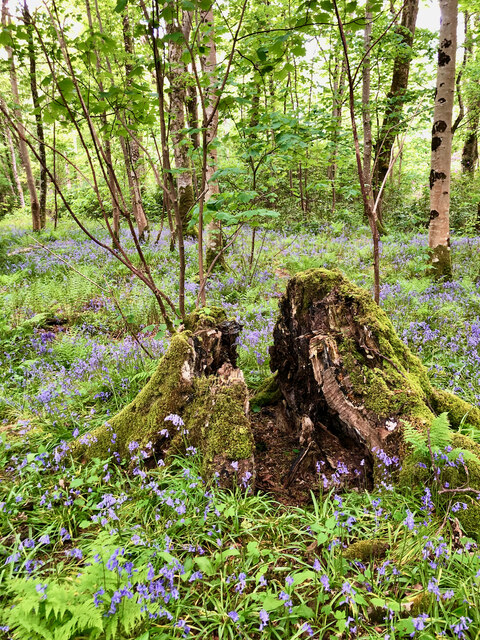
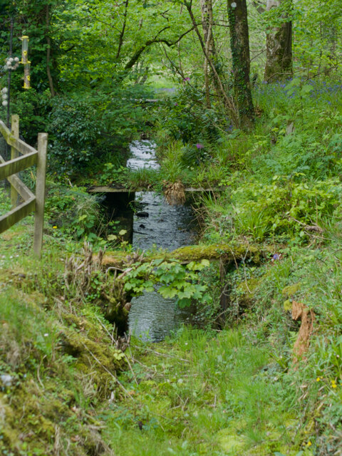
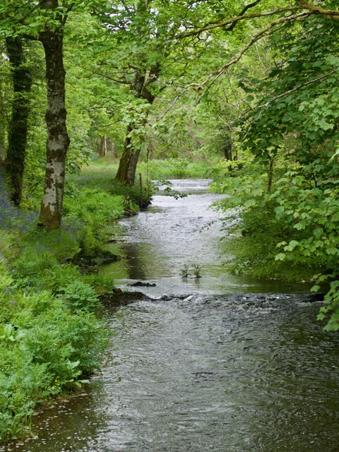
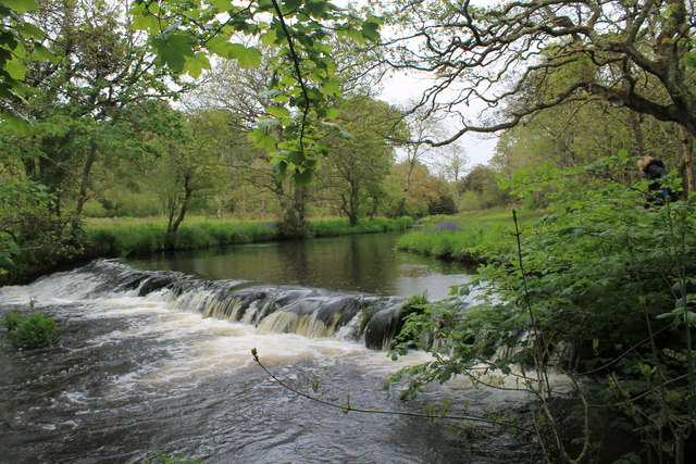
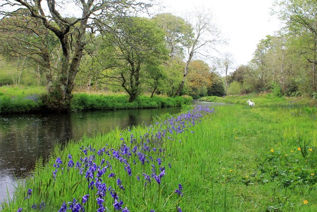
Nestled in the picturesque countryside of Argyllshire, Daill Plantation is a sprawling woodland area known for its stunning natural beauty and rich biodiversity. Covering over 500 acres, the plantation is home to a diverse range of tree species, including oak, beech, and birch, as well as a variety of native flora and fauna.
The plantation is crisscrossed with a network of well-maintained walking trails, making it a popular destination for hikers, nature lovers, and outdoor enthusiasts. Visitors can explore the peaceful surroundings, listen to the birdsong, and enjoy the tranquility of the forest.
Daill Plantation also plays an important role in conservation efforts, providing a habitat for a number of endangered species and contributing to the overall health of the local ecosystem. The woodland is carefully managed to ensure its long-term sustainability and to preserve its natural beauty for future generations to enjoy.
Overall, Daill Plantation is a haven for those seeking to connect with nature, relax in a peaceful environment, and appreciate the wonders of the natural world.
If you have any feedback on the listing, please let us know in the comments section below.
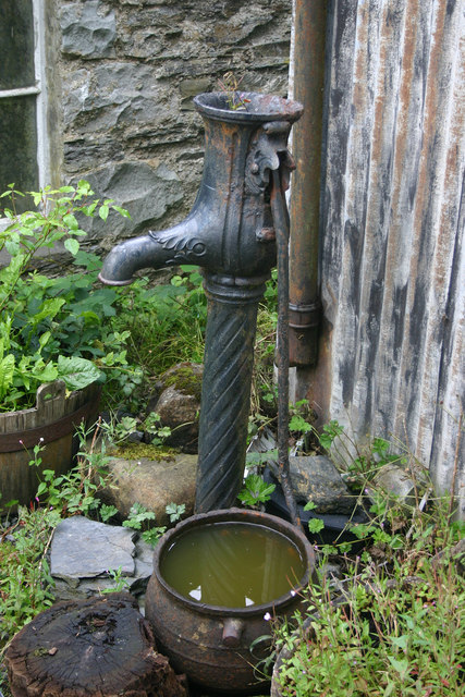
Daill Plantation Images
Images are sourced within 2km of 55.782732/-6.2083287 or Grid Reference NR3662. Thanks to Geograph Open Source API. All images are credited.

Daill Plantation is located at Grid Ref: NR3662 (Lat: 55.782732, Lng: -6.2083287)
Unitary Authority: Argyll and Bute
Police Authority: Argyll and West Dunbartonshire
What 3 Words
///indicates.howler.bricks. Near Bridgend, Argyll & Bute
Nearby Locations
Related Wikis
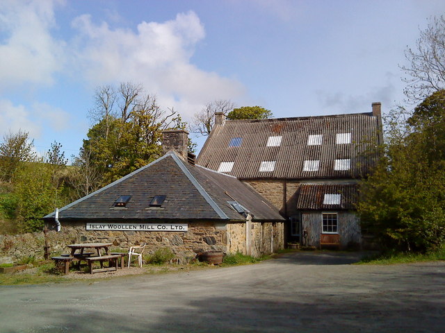
Islay Woollen Mill
Islay Woollen Mill is a Category A listed mill building near the Scottish village of Bridgend, Islay, Argyll and Bute. == History and architecture == The...

Dun Bhruichlinn
Dun Bhruichlinn is an Iron Age fort south of Esknish, Islay, Scotland. The fort, or dun is circular with an internal diameter of 16 metres and the walls...

Dun Nosebridge
Dun Nosebridge is an Iron Age fort southeast of Bridgend, Islay, Scotland. The fort is on the right bank of the River Laggan.The name's origin is probably...
Mulindry House
Mulindry House, also known as Caisteal Mhic Dhomhnuill or Mullintrae House, was a fortified house north of Mulindry Farm, Islay, Scotland. == History... ==
Nearby Amenities
Located within 500m of 55.782732,-6.2083287Have you been to Daill Plantation?
Leave your review of Daill Plantation below (or comments, questions and feedback).