Daill
Settlement in Argyllshire
Scotland
Daill
Dailly is a small village located in Argyllshire, Scotland. It is situated near the River Girvan and is surrounded by picturesque countryside and rolling hills. The village is known for its charming stone cottages, quaint shops, and friendly locals.
Dailly has a rich history dating back to medieval times, with several historic buildings and landmarks scattered throughout the village. One of the most notable attractions is the Dailly Parish Church, a beautiful stone church that dates back to the 12th century.
The village is also home to a primary school, community center, and several small businesses. Dailly has a strong sense of community, with regular events and activities organized for residents to enjoy.
The surrounding area offers plenty of opportunities for outdoor activities such as hiking, fishing, and cycling. The nearby Galloway Forest Park is a popular destination for nature lovers and outdoor enthusiasts.
Overall, Dailly is a charming village with a rich history, stunning scenery, and a welcoming atmosphere, making it a great place to visit or call home.
If you have any feedback on the listing, please let us know in the comments section below.
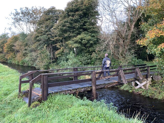
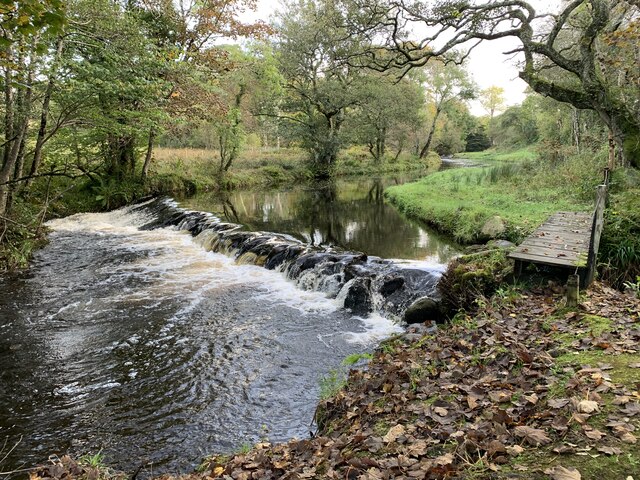
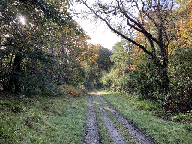
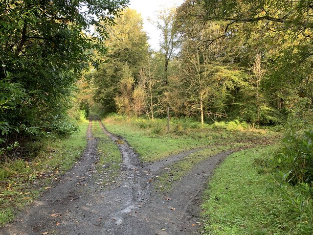
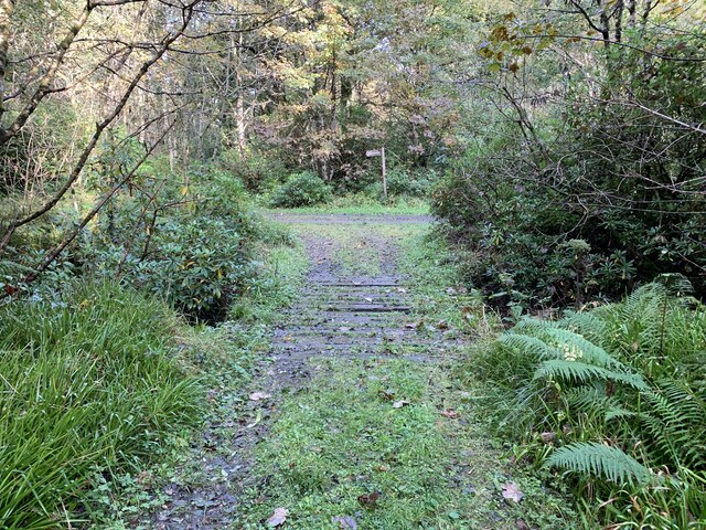
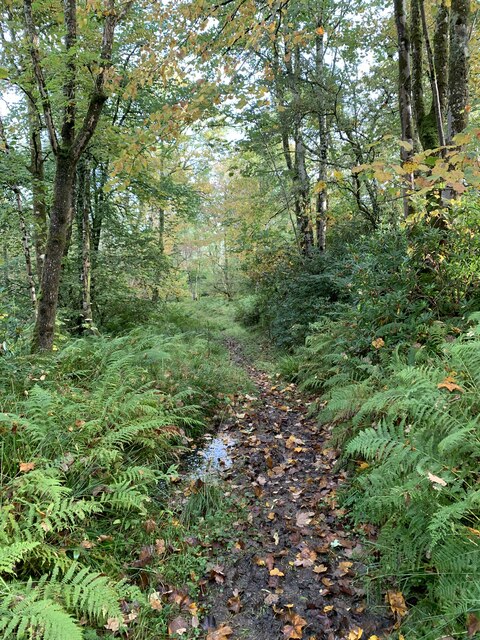
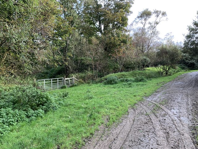
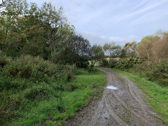
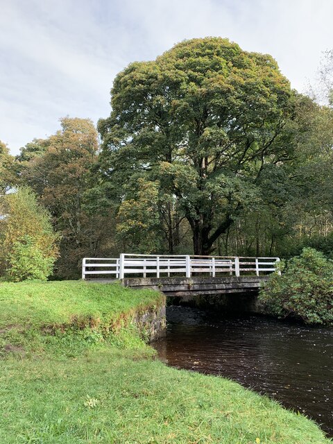
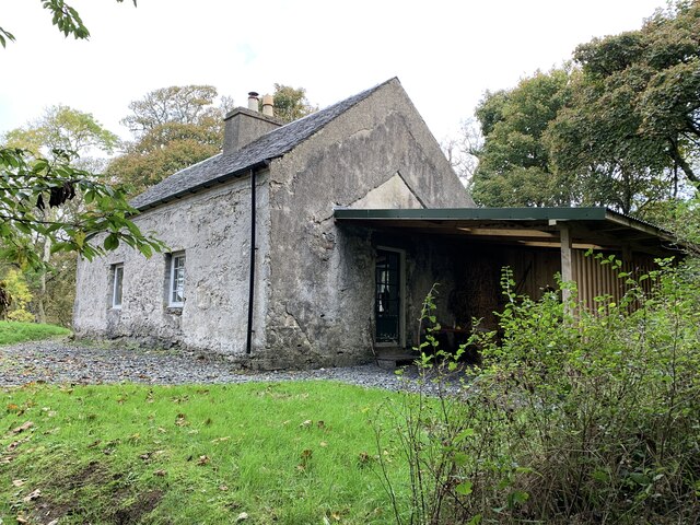
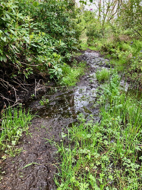
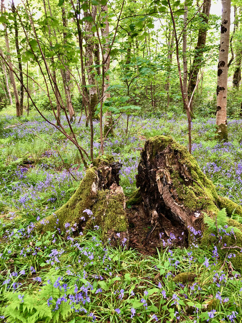
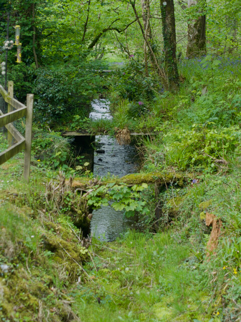
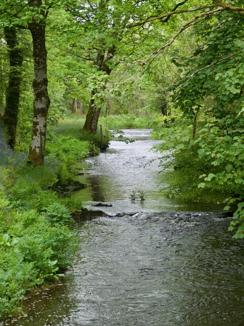
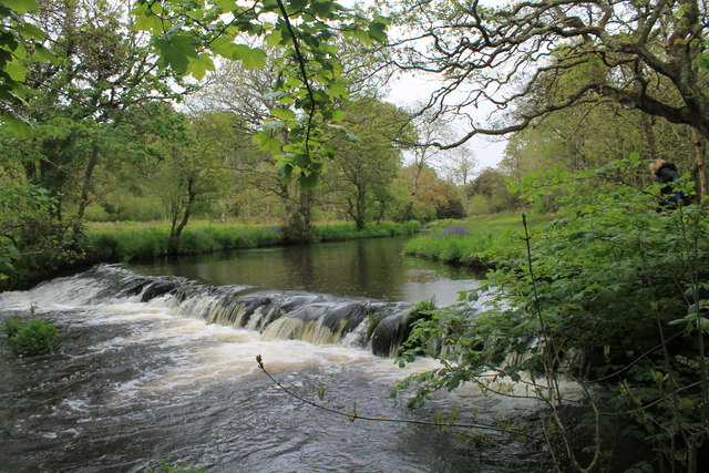
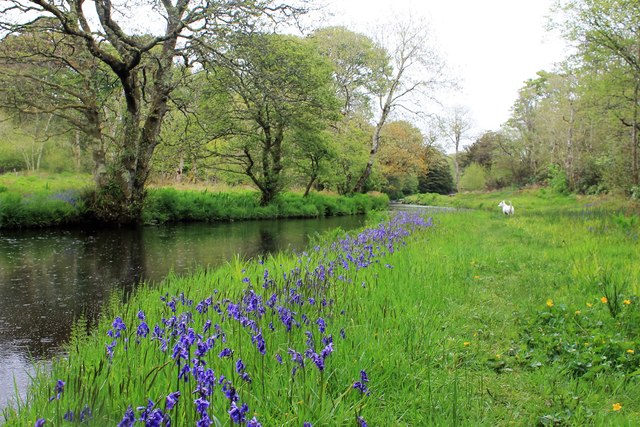
Daill Images
Images are sourced within 2km of 55.779024/-6.2118063 or Grid Reference NR3662. Thanks to Geograph Open Source API. All images are credited.


Daill is located at Grid Ref: NR3662 (Lat: 55.779024, Lng: -6.2118063)
Unitary Authority: Argyll and Bute
Police Authority: Argyll and West Dunbartonshire
What 3 Words
///strictest.waxes.mulls. Near Bridgend, Argyll & Bute
Nearby Locations
Related Wikis
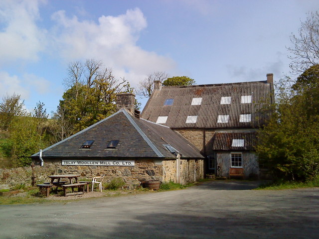
Islay Woollen Mill
Islay Woollen Mill is a Category A listed mill building near the Scottish village of Bridgend, Islay, Argyll and Bute. == History and architecture == The...

Dun Bhruichlinn
Dun Bhruichlinn is an Iron Age fort south of Esknish, Islay, Scotland. The fort, or dun is circular with an internal diameter of 16 metres and the walls...
Mulindry House
Mulindry House, also known as Caisteal Mhic Dhomhnuill or Mullintrae House, was a fortified house north of Mulindry Farm, Islay, Scotland. == History... ==

Dun Nosebridge
Dun Nosebridge is an Iron Age fort southeast of Bridgend, Islay, Scotland. The fort is on the right bank of the River Laggan.The name's origin is probably...
Nearby Amenities
Located within 500m of 55.779024,-6.2118063Have you been to Daill?
Leave your review of Daill below (or comments, questions and feedback).