East Lodge Plantation
Wood, Forest in Argyllshire
Scotland
East Lodge Plantation
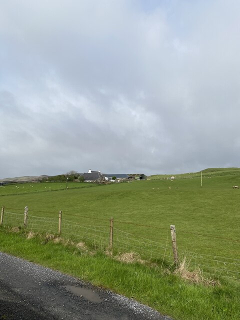
East Lodge Plantation is a picturesque woodland located in Argyllshire, Scotland. Covering a vast area of approximately 500 acres, it is renowned for its stunning natural beauty and diverse range of plant and animal species.
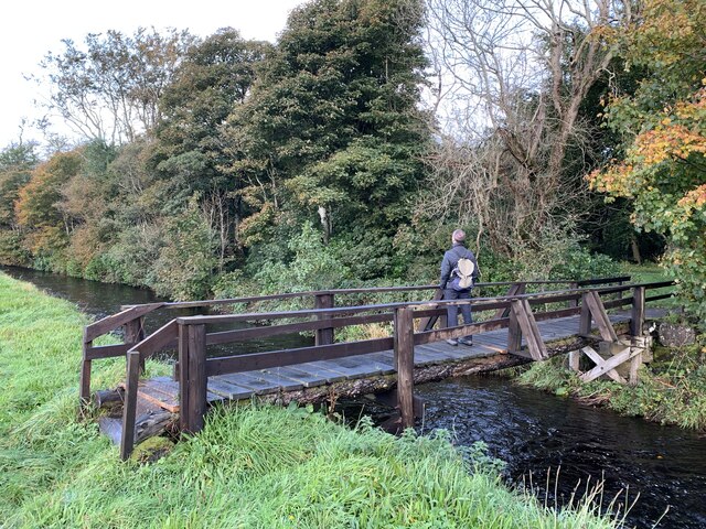
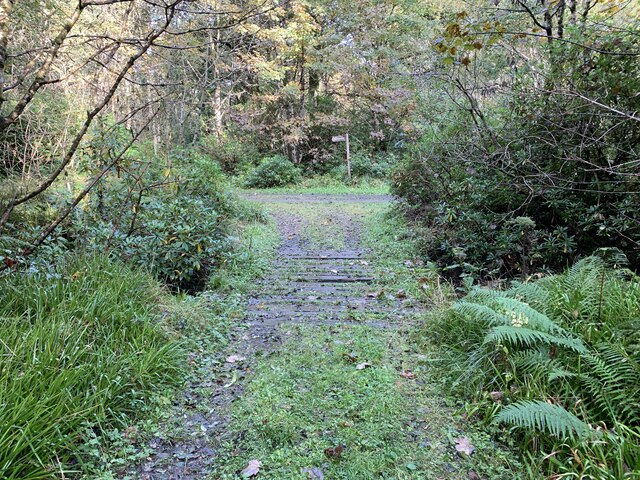
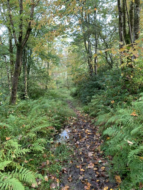
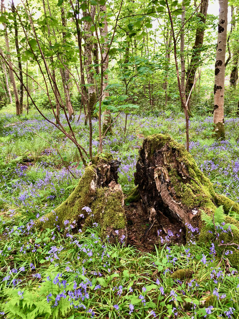
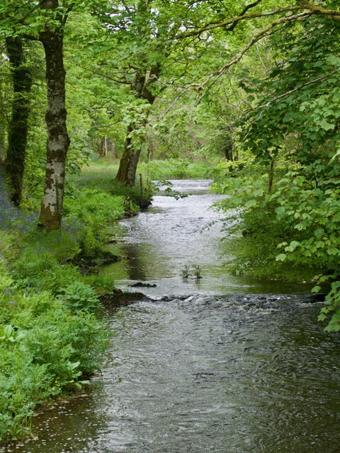
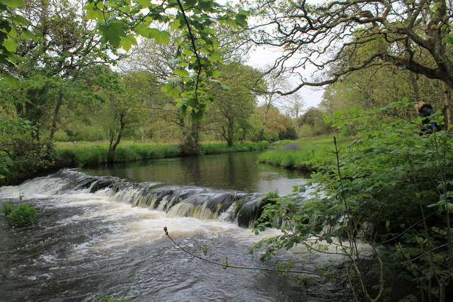
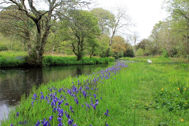
The plantation primarily consists of a dense forest, with towering trees creating a canopy that filters the sunlight, resulting in a tranquil and shaded environment. The dominant tree species found here include oak, beech, and birch, which provide a rich habitat for various wildlife.
The woodland is home to a diverse array of fauna, making it a popular destination for nature enthusiasts. Visitors may spot red squirrels, roe deer, and various bird species, including the rare golden eagle and osprey. The plantation also supports a wide range of smaller mammals, such as badgers, foxes, and rabbits.
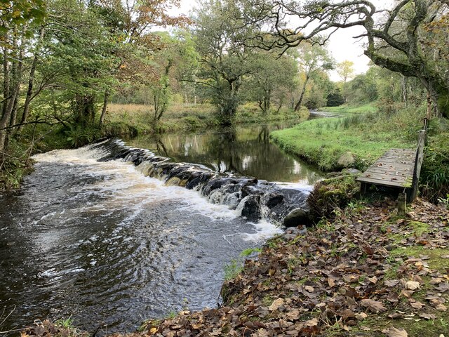
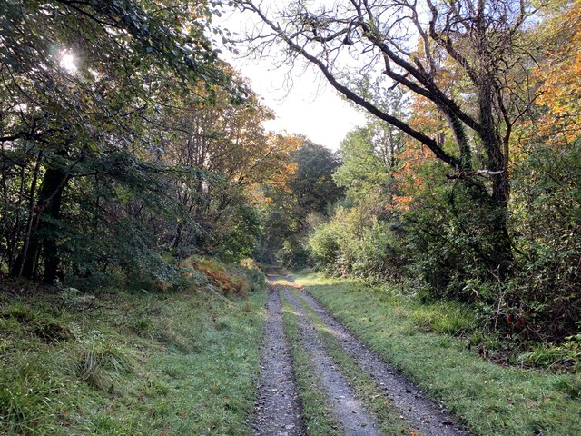
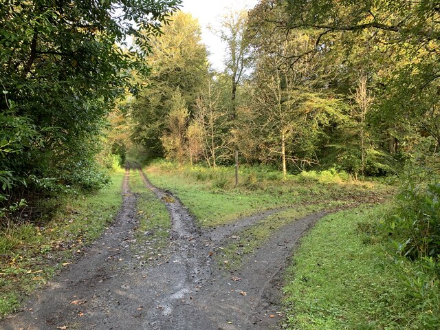
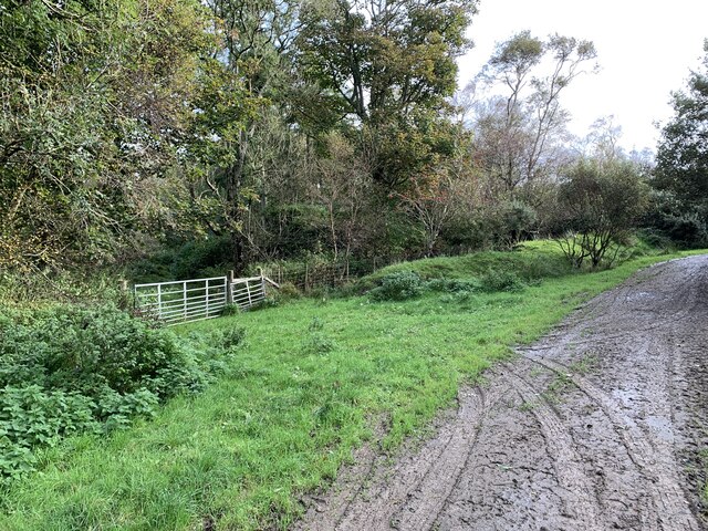
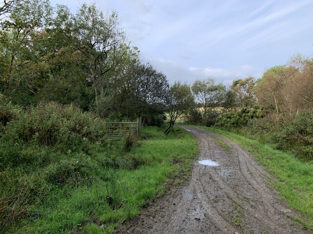
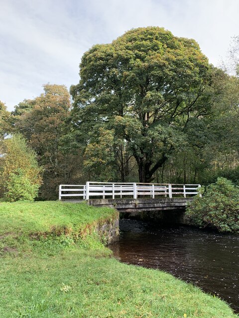
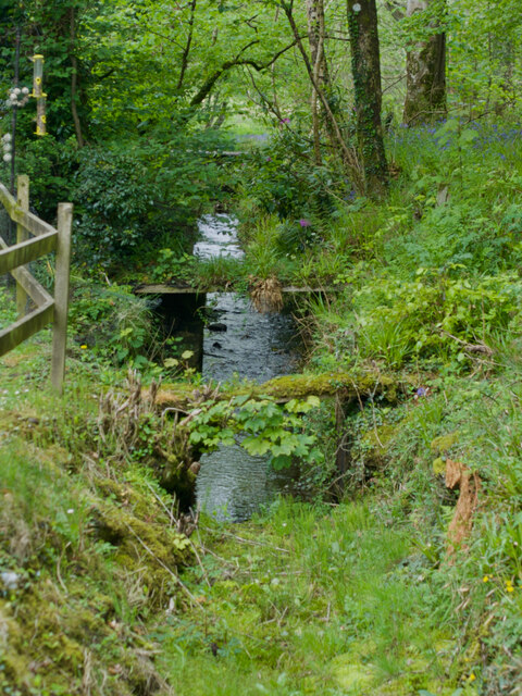
Walking trails crisscross the plantation, allowing visitors to explore its beauty on foot. These trails offer breathtaking views of the surrounding landscape, including rolling hills and picturesque lochs. The plantation is also intersected by a small river, enhancing its natural appeal.
East Lodge Plantation is not only a haven for wildlife but also offers recreational opportunities for visitors. It provides an ideal setting for activities such as hiking, birdwatching, and photography. Additionally, the woodland is often used for educational purposes, with schools and environmental organizations arranging field trips to teach students about the importance of preserving natural habitats.
Overall, East Lodge Plantation is a captivating woodland that showcases the beauty and biodiversity of Argyllshire. Its enchanting atmosphere, diverse wildlife, and stunning vistas make it a must-visit destination for nature lovers and those seeking solace in the tranquility of nature.
If you have any feedback on the listing, please let us know in the comments section below.
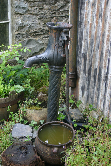
East Lodge Plantation Images
Images are sourced within 2km of 55.794311/-6.216604 or Grid Reference NR3563. Thanks to Geograph Open Source API. All images are credited.

East Lodge Plantation is located at Grid Ref: NR3563 (Lat: 55.794311, Lng: -6.216604)
Unitary Authority: Argyll and Bute
Police Authority: Argyll and West Dunbartonshire
What 3 Words
///amaze.ranches.buzzer. Near Bridgend, Argyll & Bute
Nearby Locations
Related Wikis
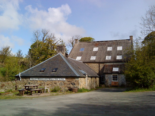
Islay Woollen Mill
Islay Woollen Mill is a Category A listed mill building near the Scottish village of Bridgend, Islay, Argyll and Bute. == History and architecture == The...

Dun Bhruichlinn
Dun Bhruichlinn is an Iron Age fort south of Esknish, Islay, Scotland. The fort, or dun is circular with an internal diameter of 16 metres and the walls...

Bridgend, Islay
Bridgend (Scottish Gaelic: Beul an Àtha) is a village on the Inner Hebrides island of Islay off the western coast of Scotland at the tip of Loch Indaal...

Islay House
Islay House is a Category A listed country house near Bridgend, Islay in the county of Argyll, in western Scotland on the shores of Loch Indaal. ��2�...
Nearby Amenities
Located within 500m of 55.794311,-6.216604Have you been to East Lodge Plantation?
Leave your review of East Lodge Plantation below (or comments, questions and feedback).